
Cape Breton
We had originally planned two months in Nova Scotia when we left in June. However, this being our second attempt, leaving late August, we knew that if weather and health held up and we were able to make it that far North, time would be short and we would need to focus on one area. By the end of September, the weather looked possible so we decided to push North through New Brunswick into Nova Scotia arriving 30th September. We decided to focus our time for the next two weeks on Cape Breton, an island North-East of the mainland.
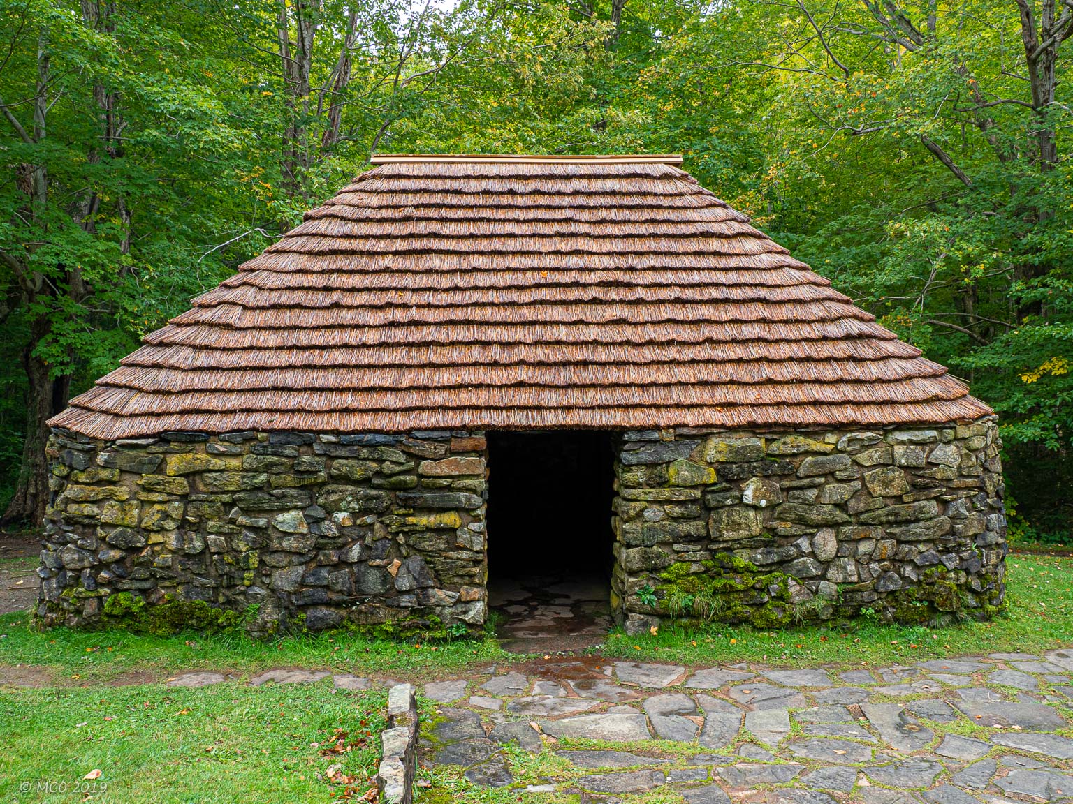
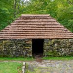
Replica of Scottish Croft in memory of the Highland Clearances
The island was one of the main areas where Scottish farmers landed during the Highland Clearances (1750-1860) having been forced out of the Highlands of Scotland. Of course the immigrants brought with them Gaelic/Celtic culture, particularly dance and fiddle music. The combination of isolation and poverty kept the music traditions intact and Cape Breton traditional fiddle music is now well known throughout the world. With our interest in Celtic music, Cape Breton seemed the best place to spend our limited time.
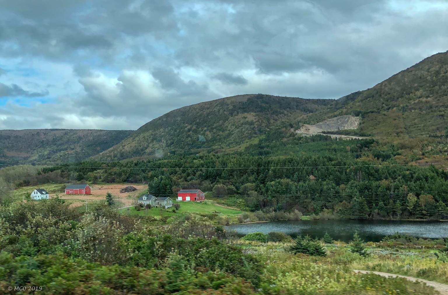
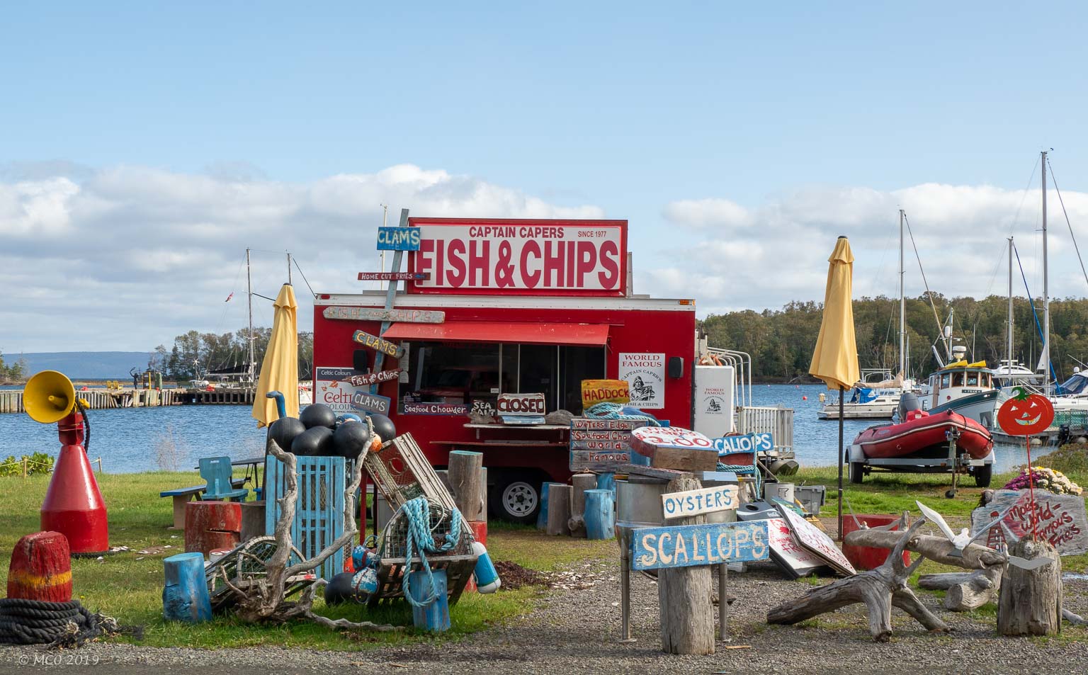
We stopped the first night night in the middle of the Nova Scotia mainland. I think we misjudged the size of the island, as it’s about 350 miles long, about half the area of England. Cheryl was disappointed to find that Nova Scotia Lox was not in abundance due to the historic lows of Wild Atlantic Salmon population. Lobsters, however were plentiful as in Maine.
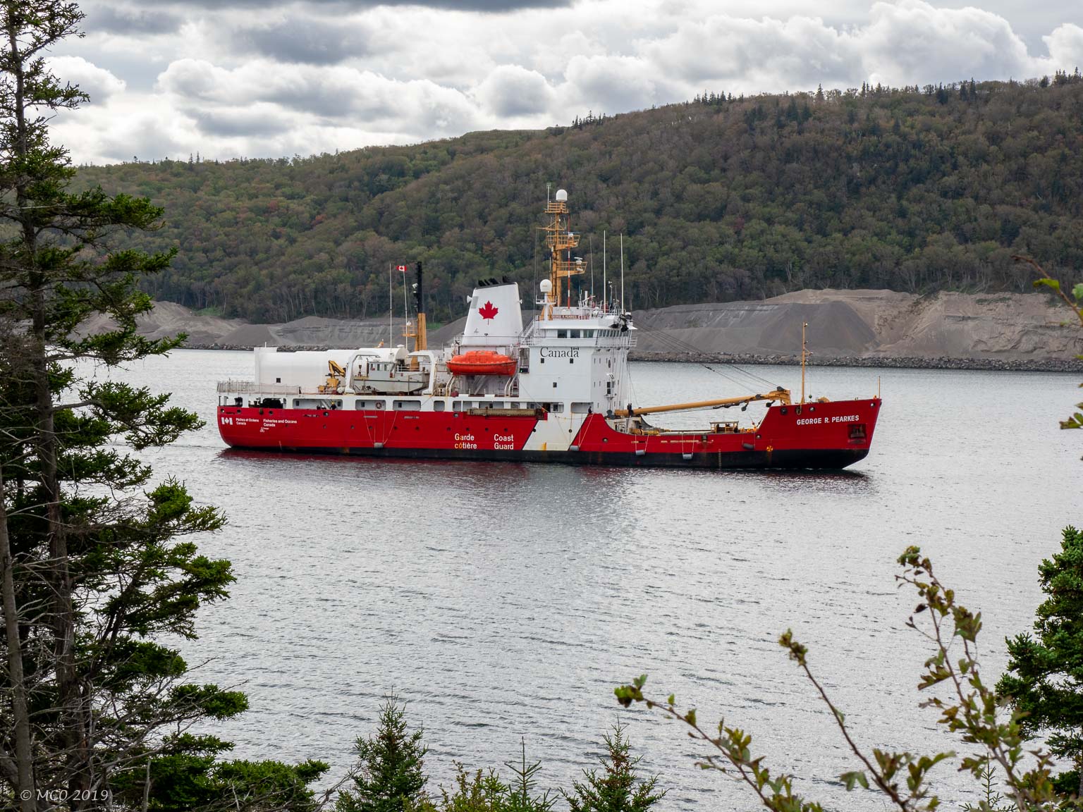
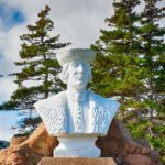
Canadian Coastguard waiting to transit lock at Canso Causeway
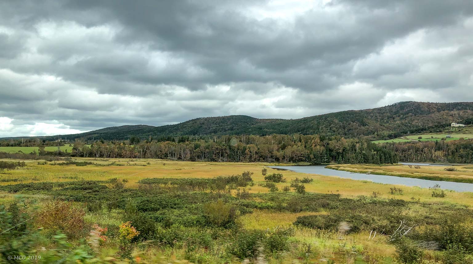
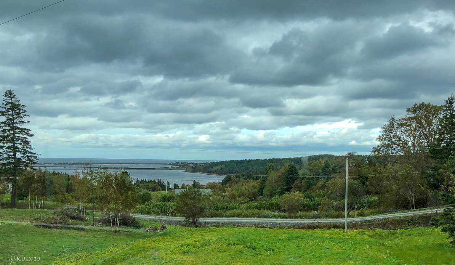
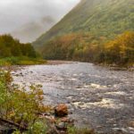
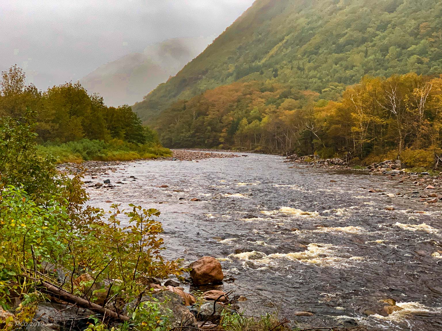
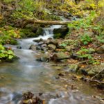
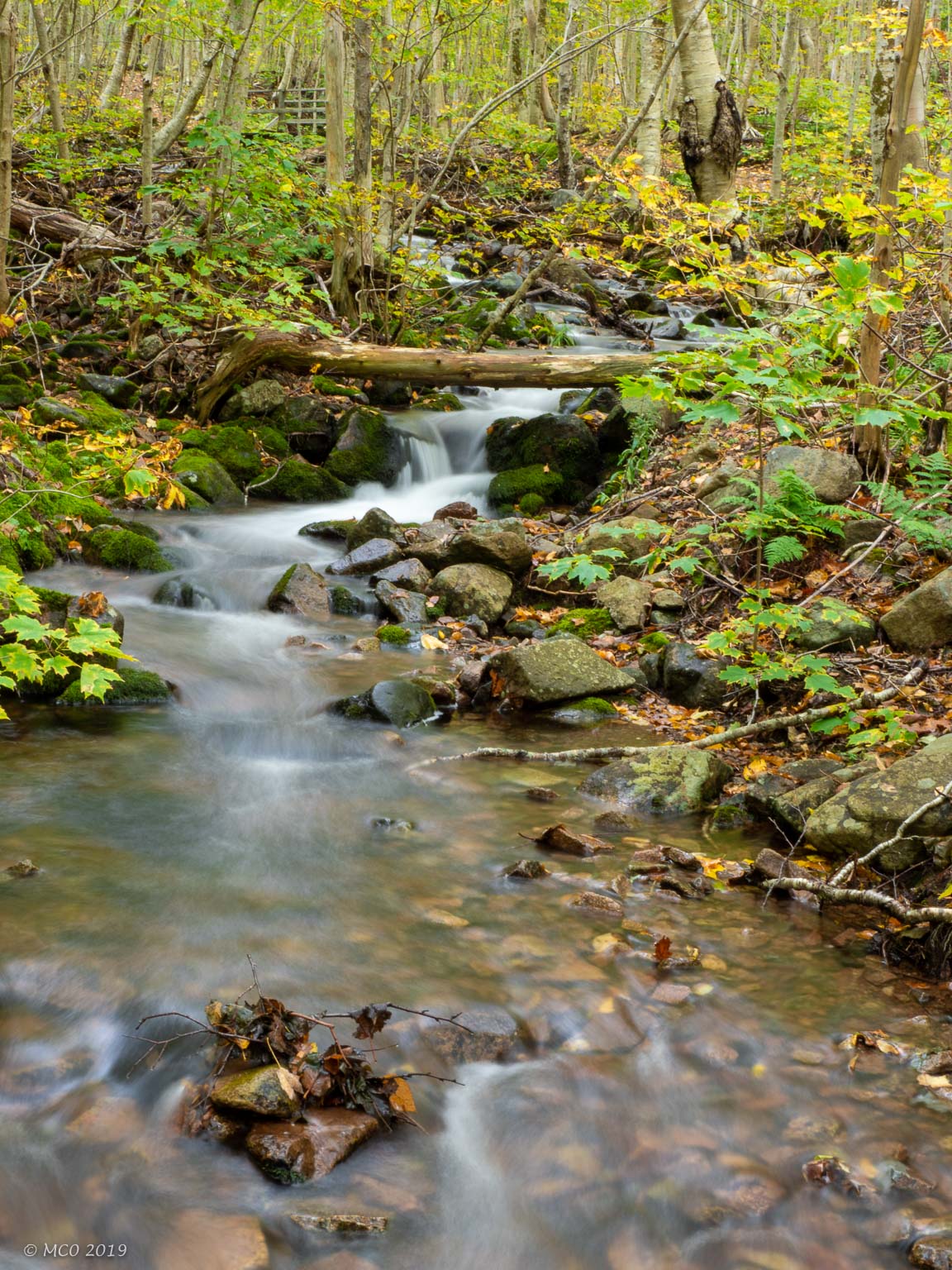
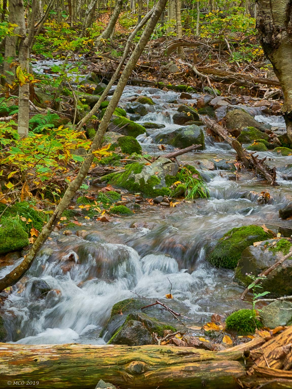
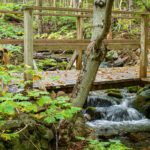
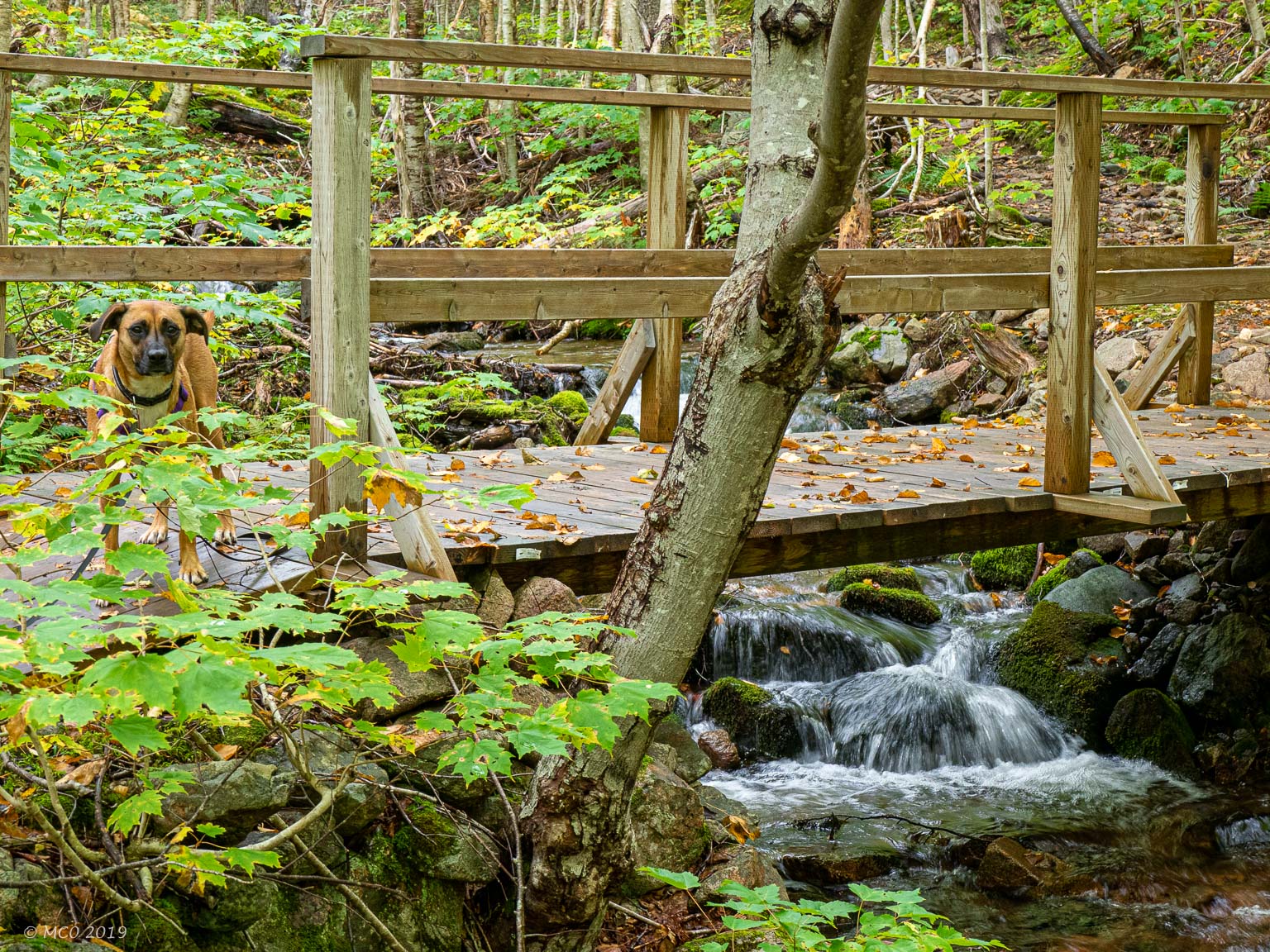
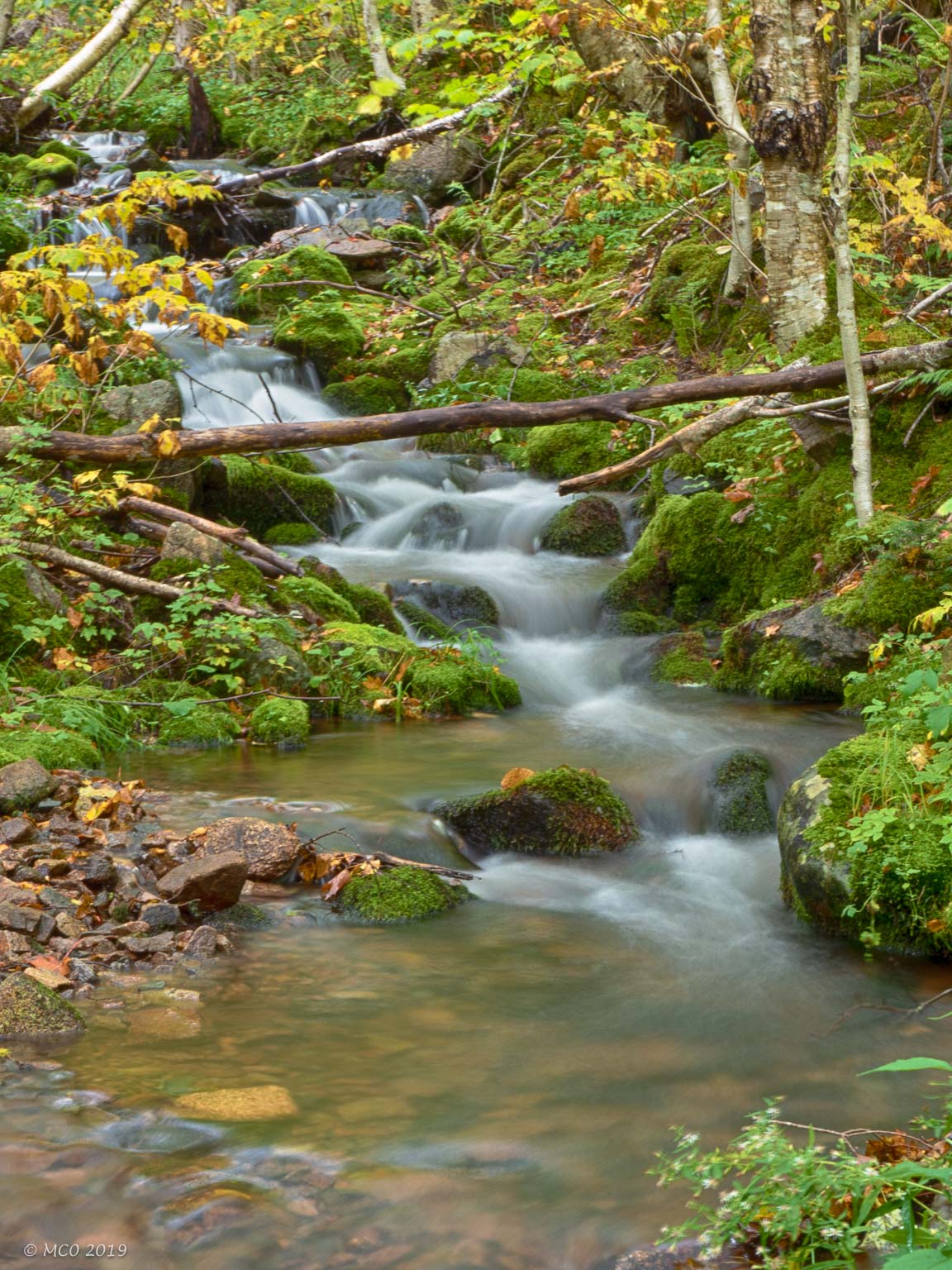
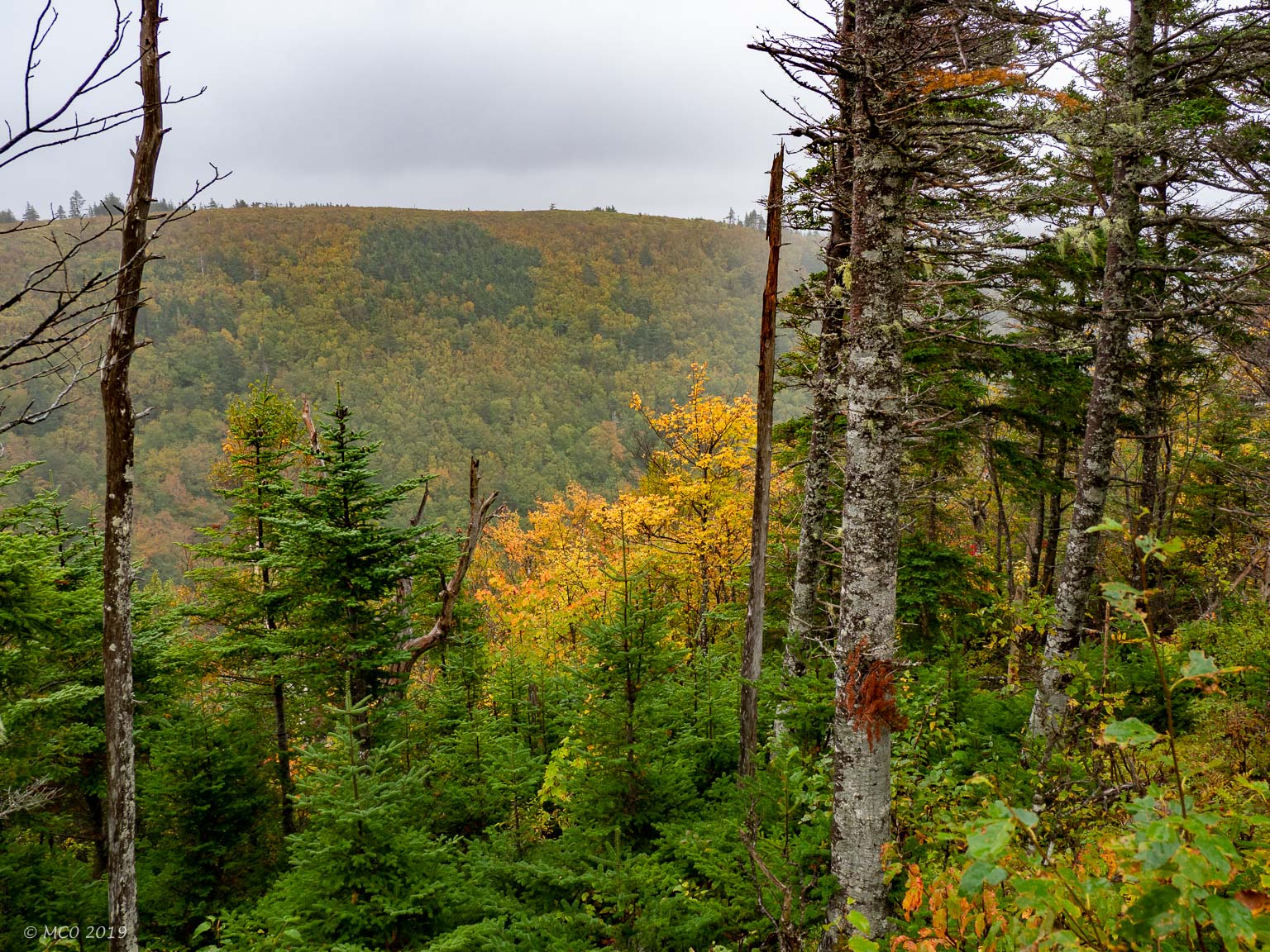
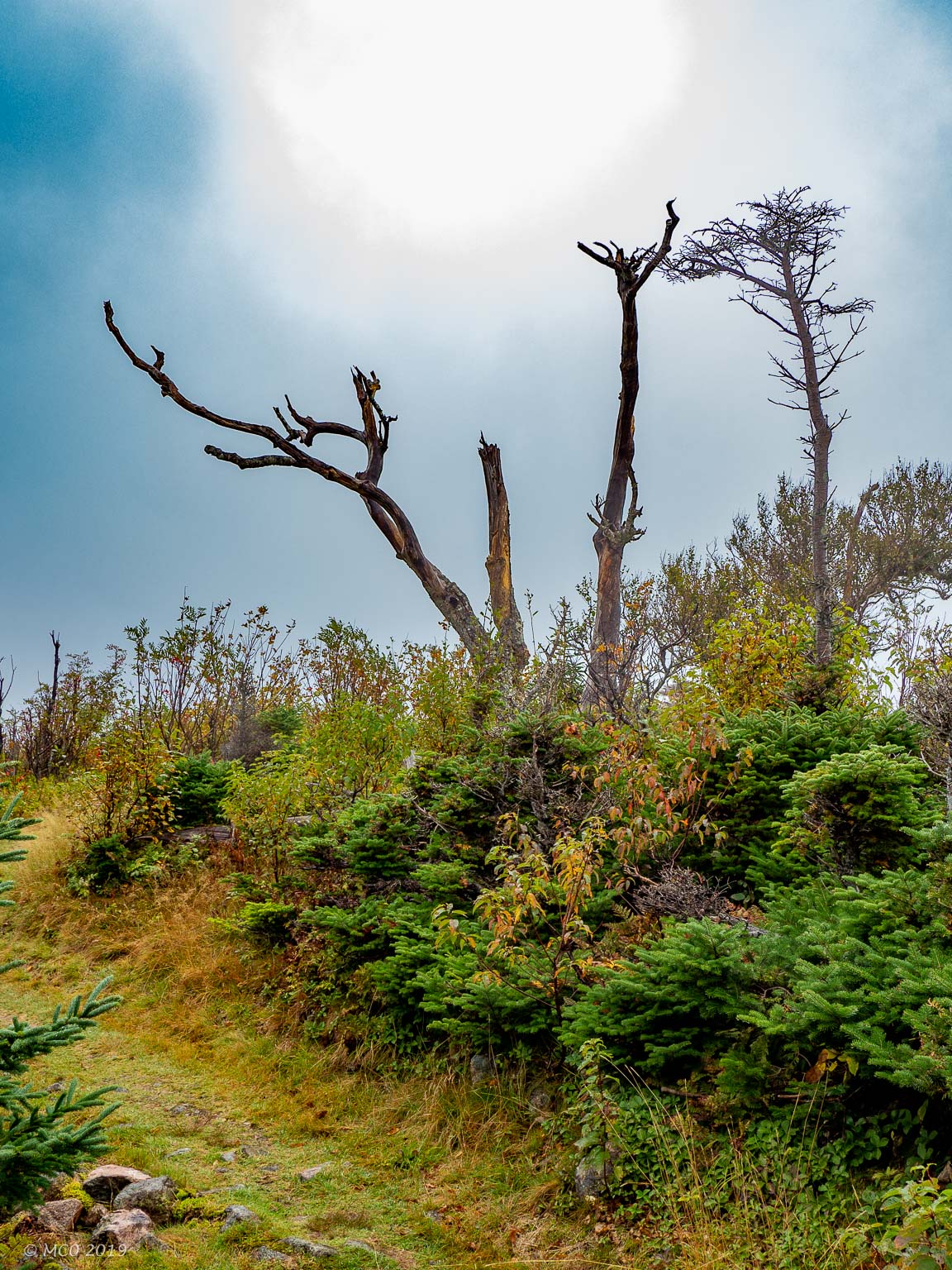
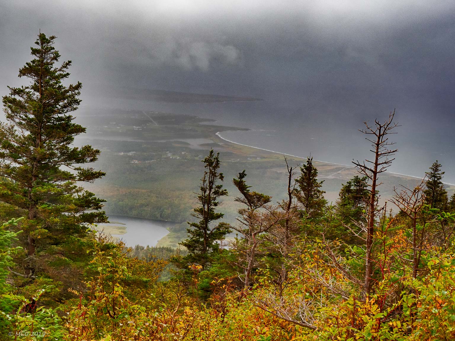
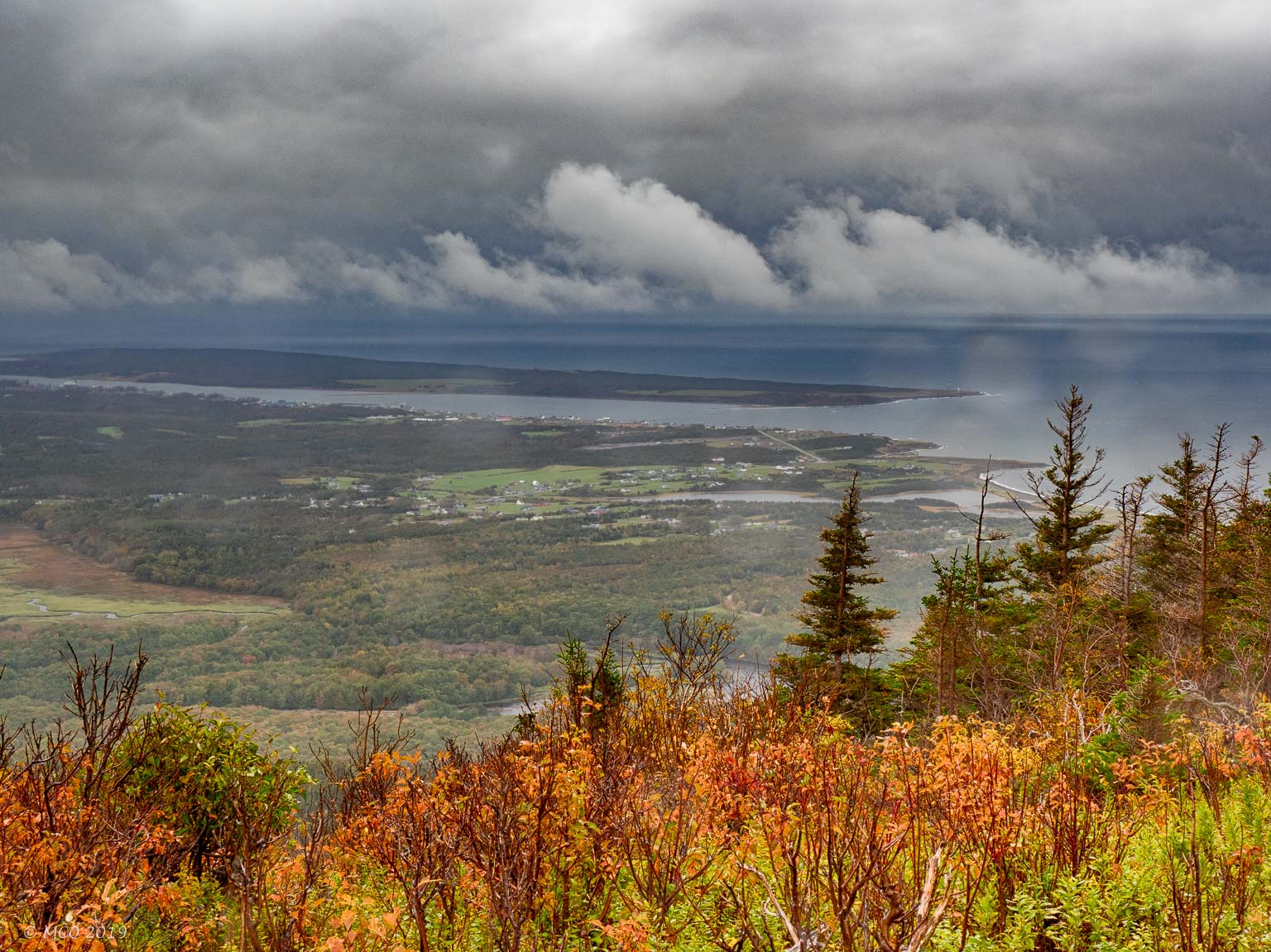
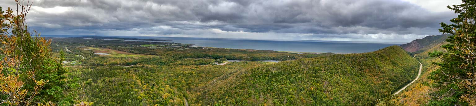
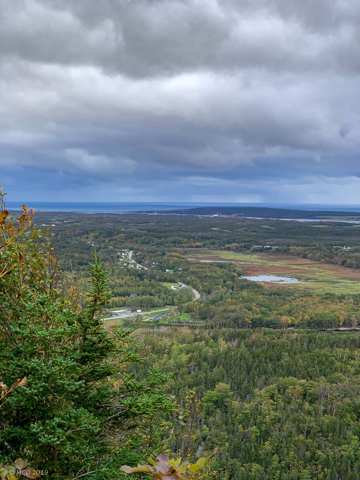
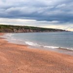
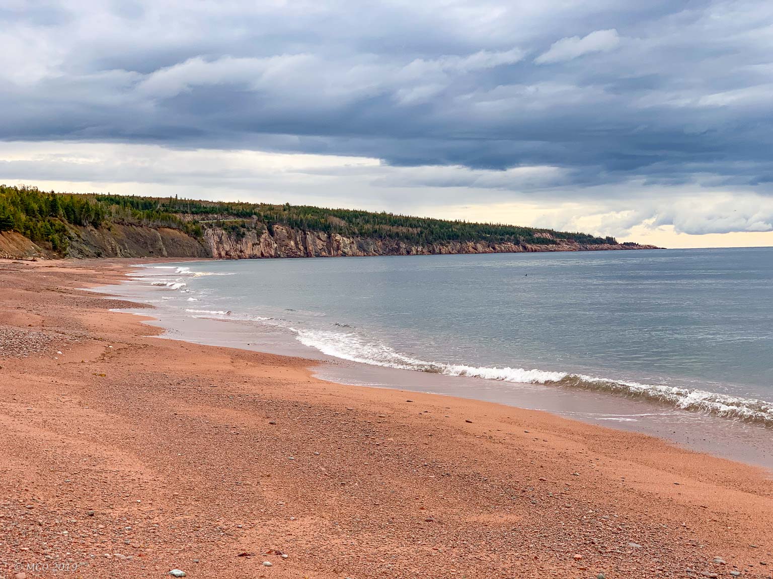
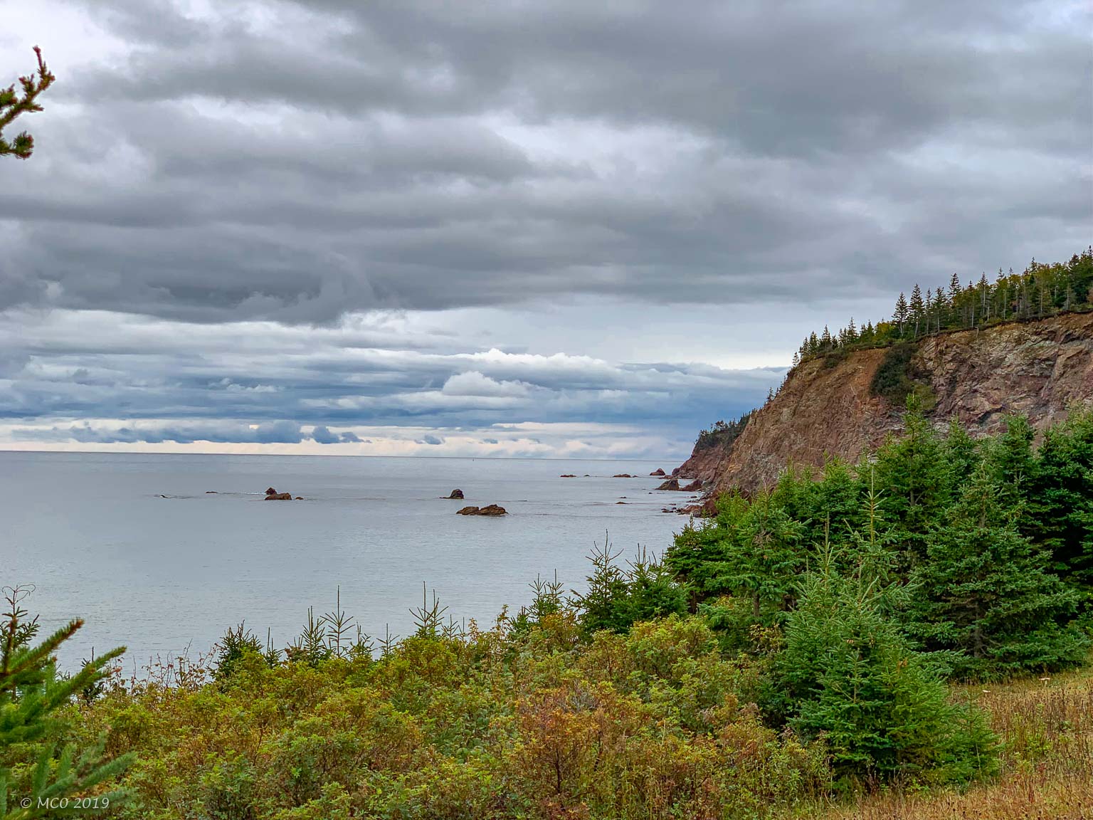
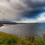
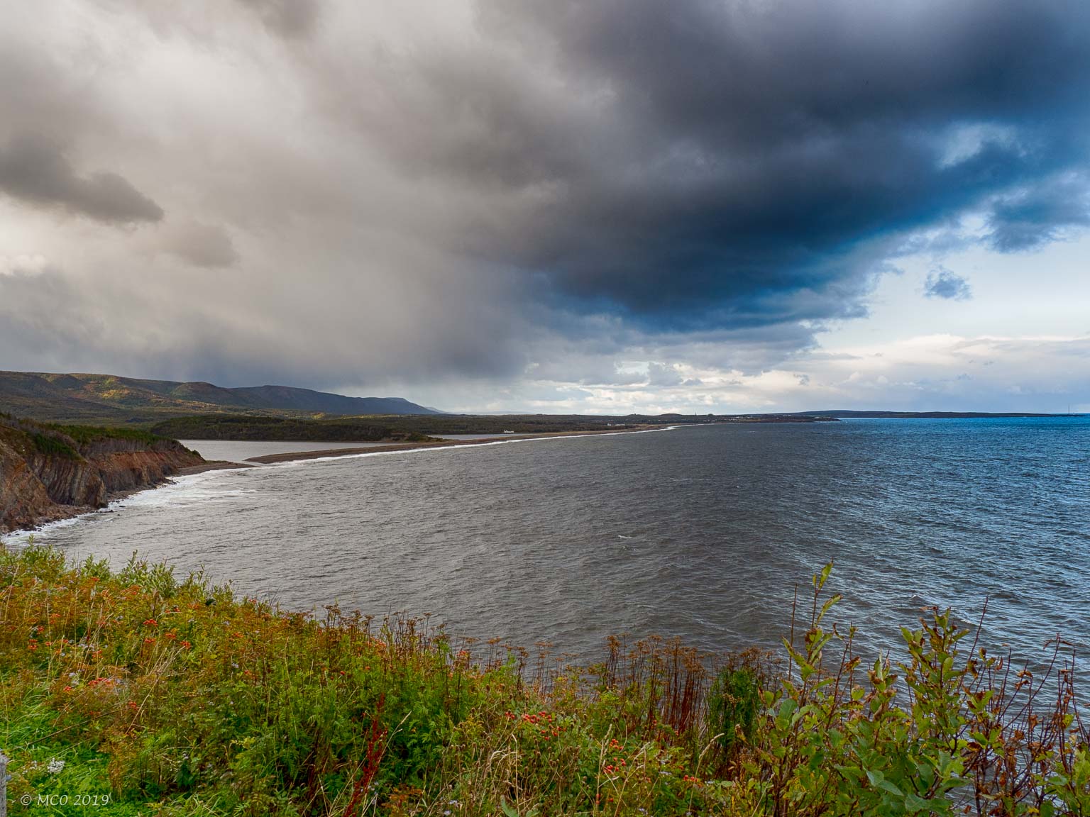
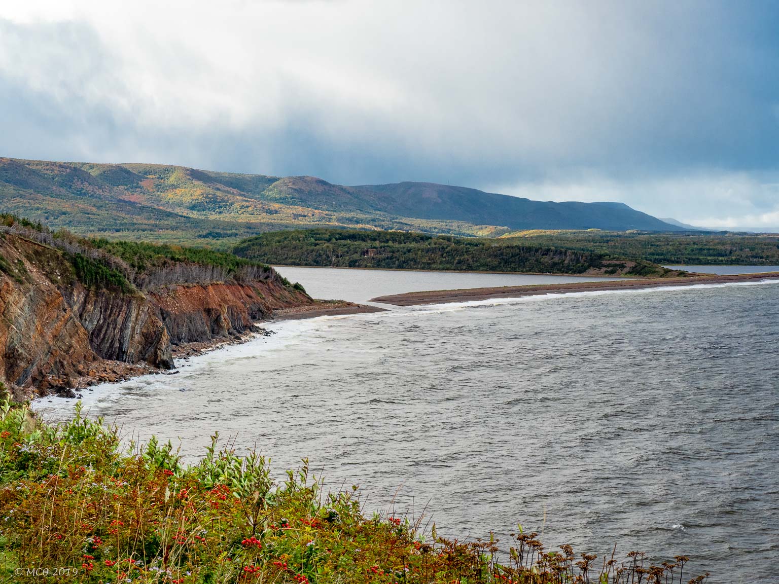
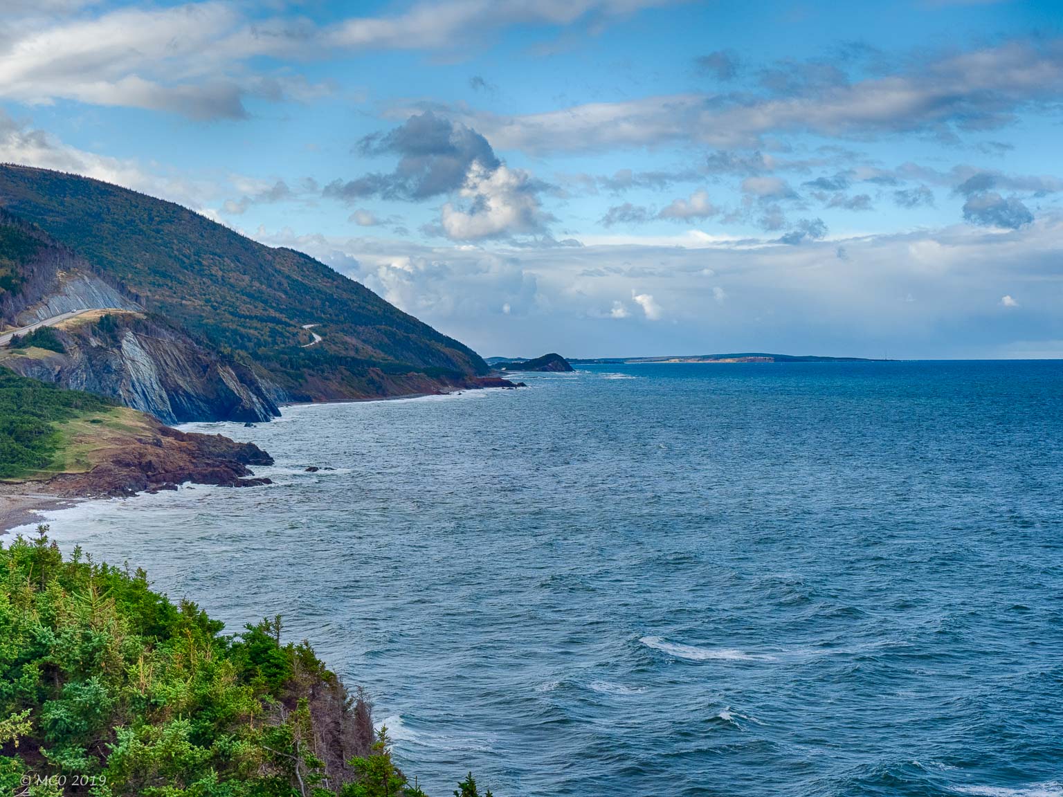
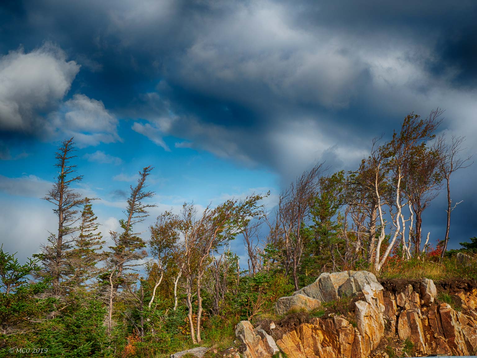
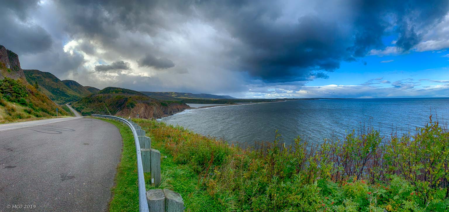
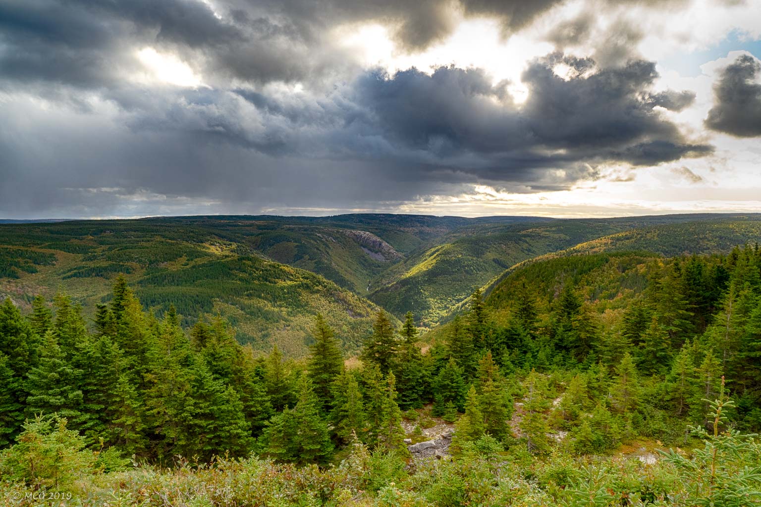
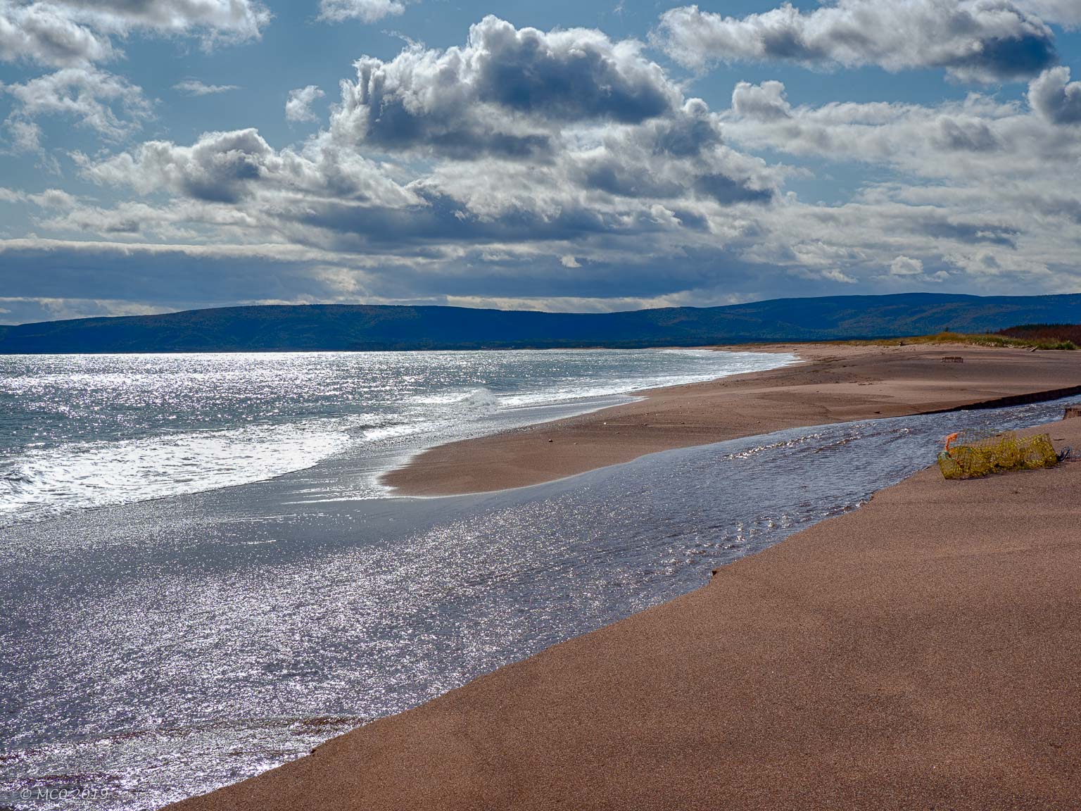
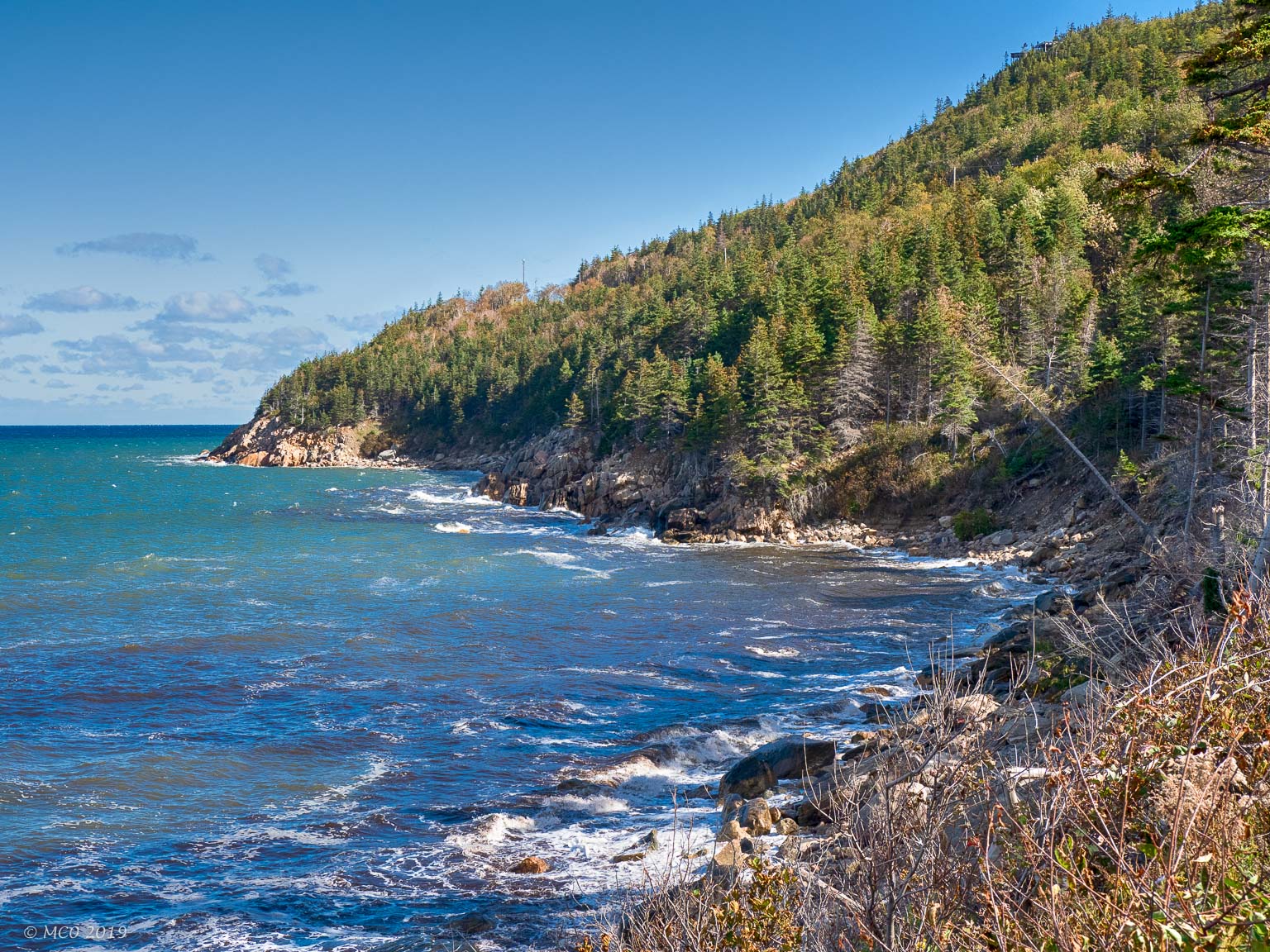
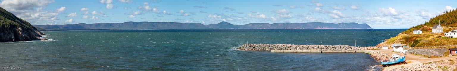
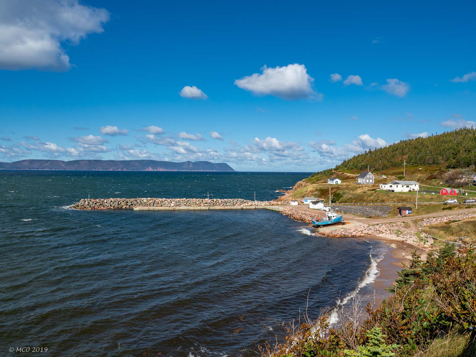
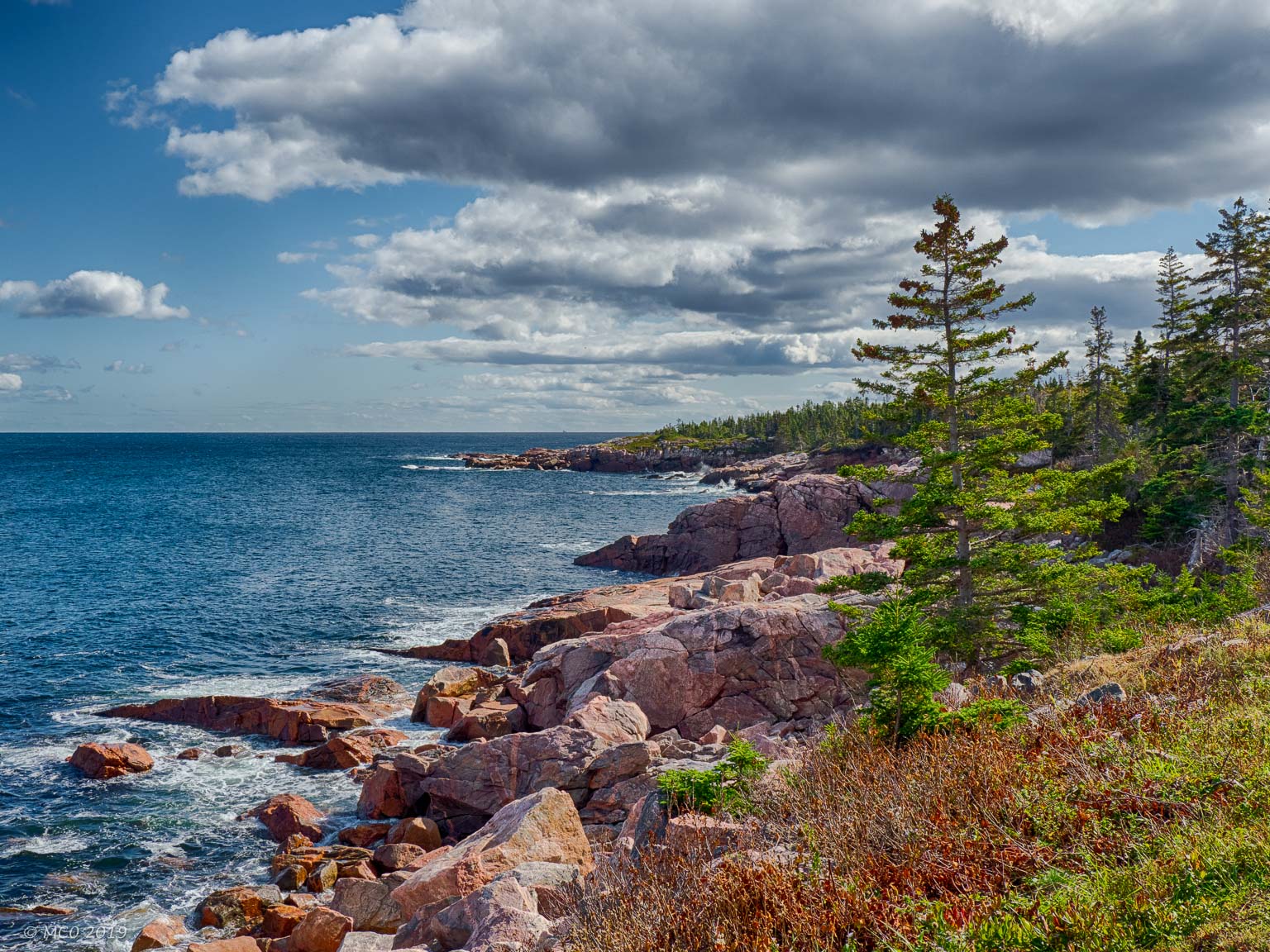
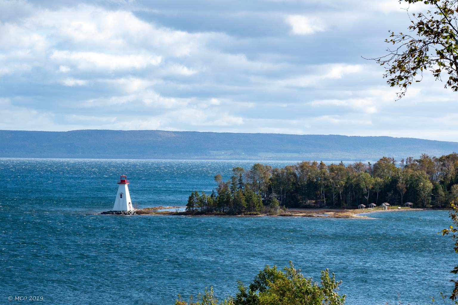
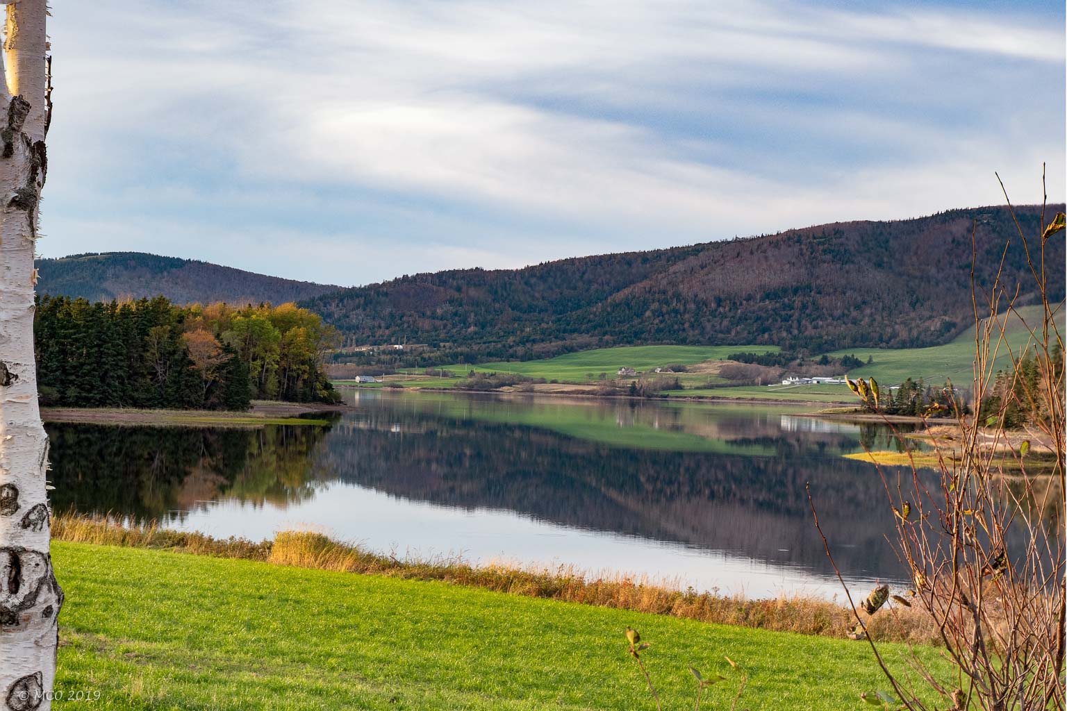
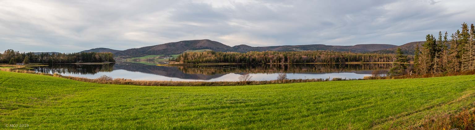
We crossed the Canso Causeway (completed in 1955 to link Cape Breton to the Nova Scotia mainland) the next day and followed the ‘Ceilidh Trail’ up the West Coast where we had booked several nights in the Cape Breton Highlands National Park. The first two nights were at Cheticamp campground on the West Coast, where we found some local (but not traditional) music in a pub. Colin and Bindi enjoyed the Salmon Ponds trail and the Acadian trail which followed the upward course of a stream (multiple waterfalls) and then magnificent views over the ocean. Our third night was at the Ingonish campground on the East Coast. This is a truly beautiful part of the world, reminiscent of the Western Isles of Scotland. We drove the ‘Cabot Trail’ along the Northern coastline and enjoyed some great coastal scenery.
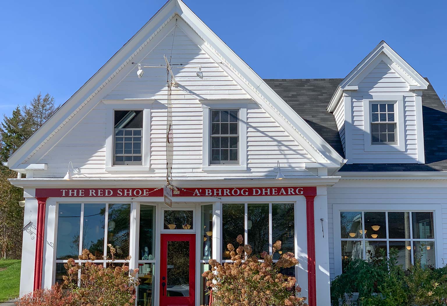
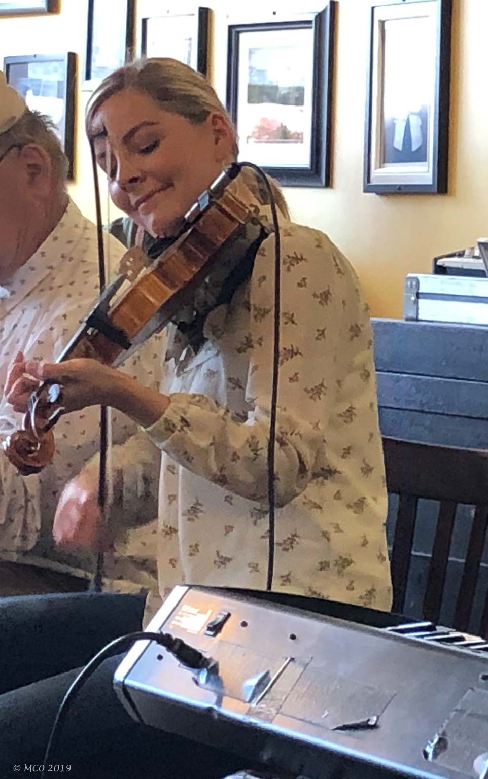
‘The Red Shoe’ at Mabou, known for hosting traditional music
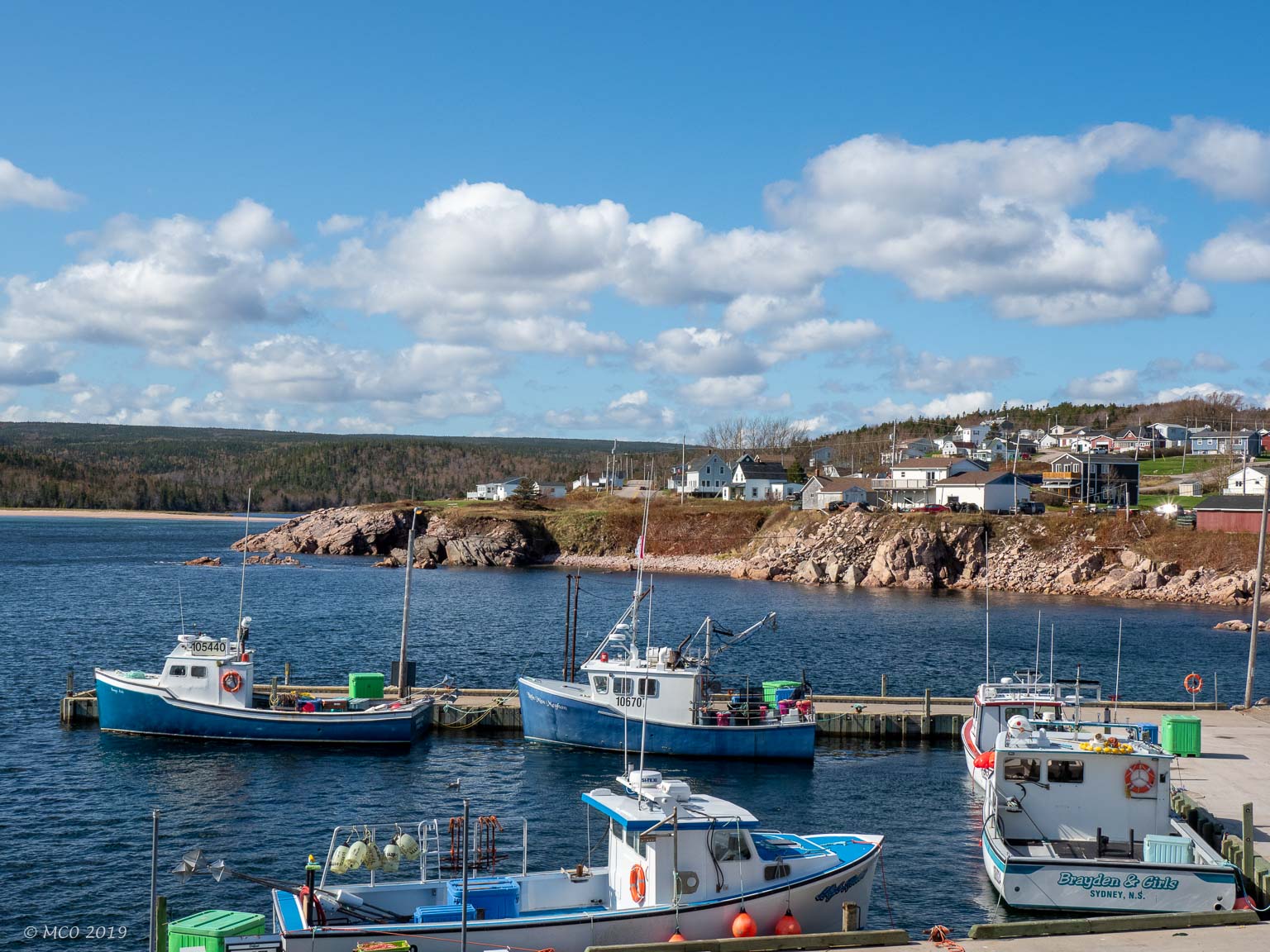
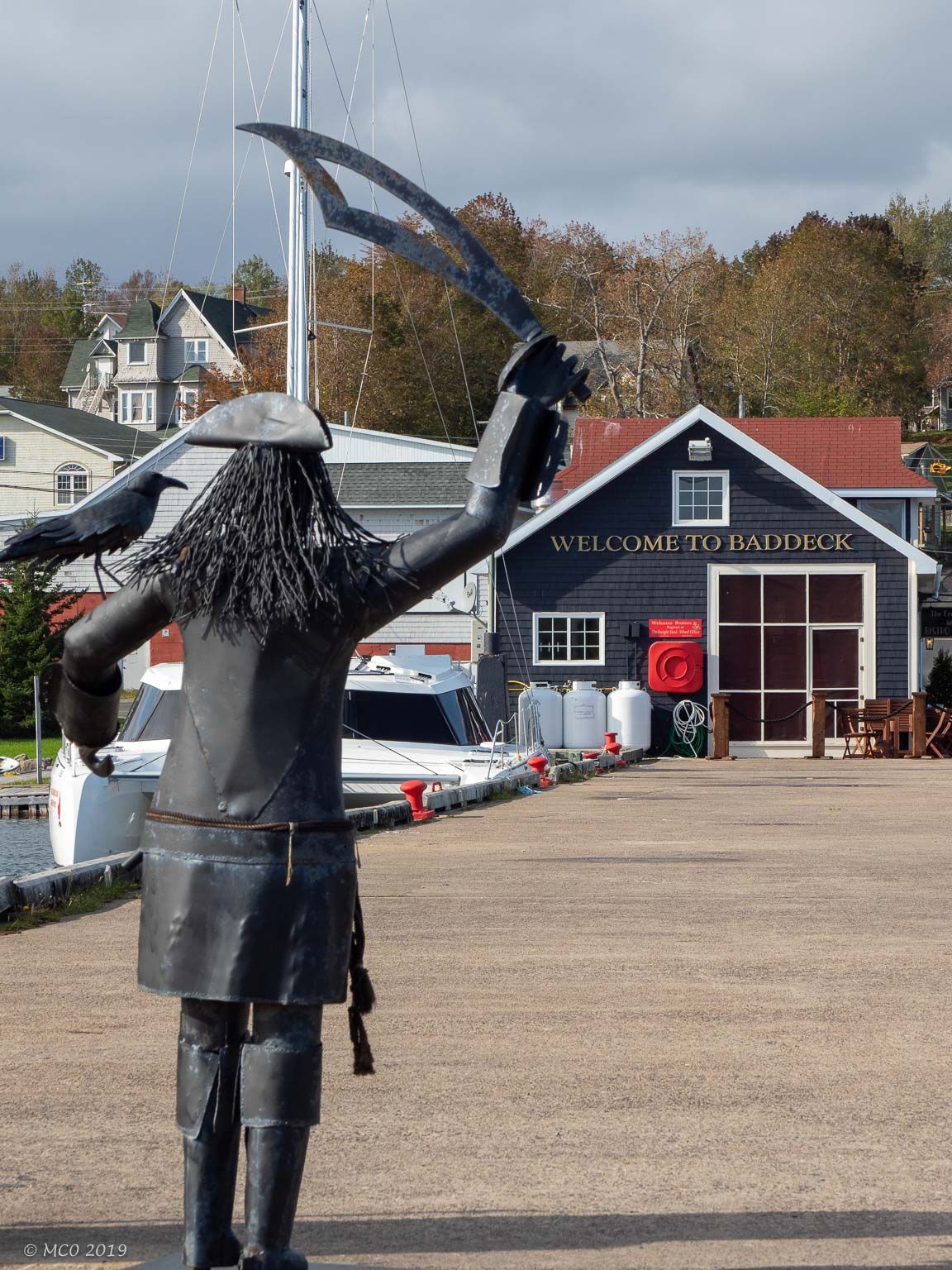
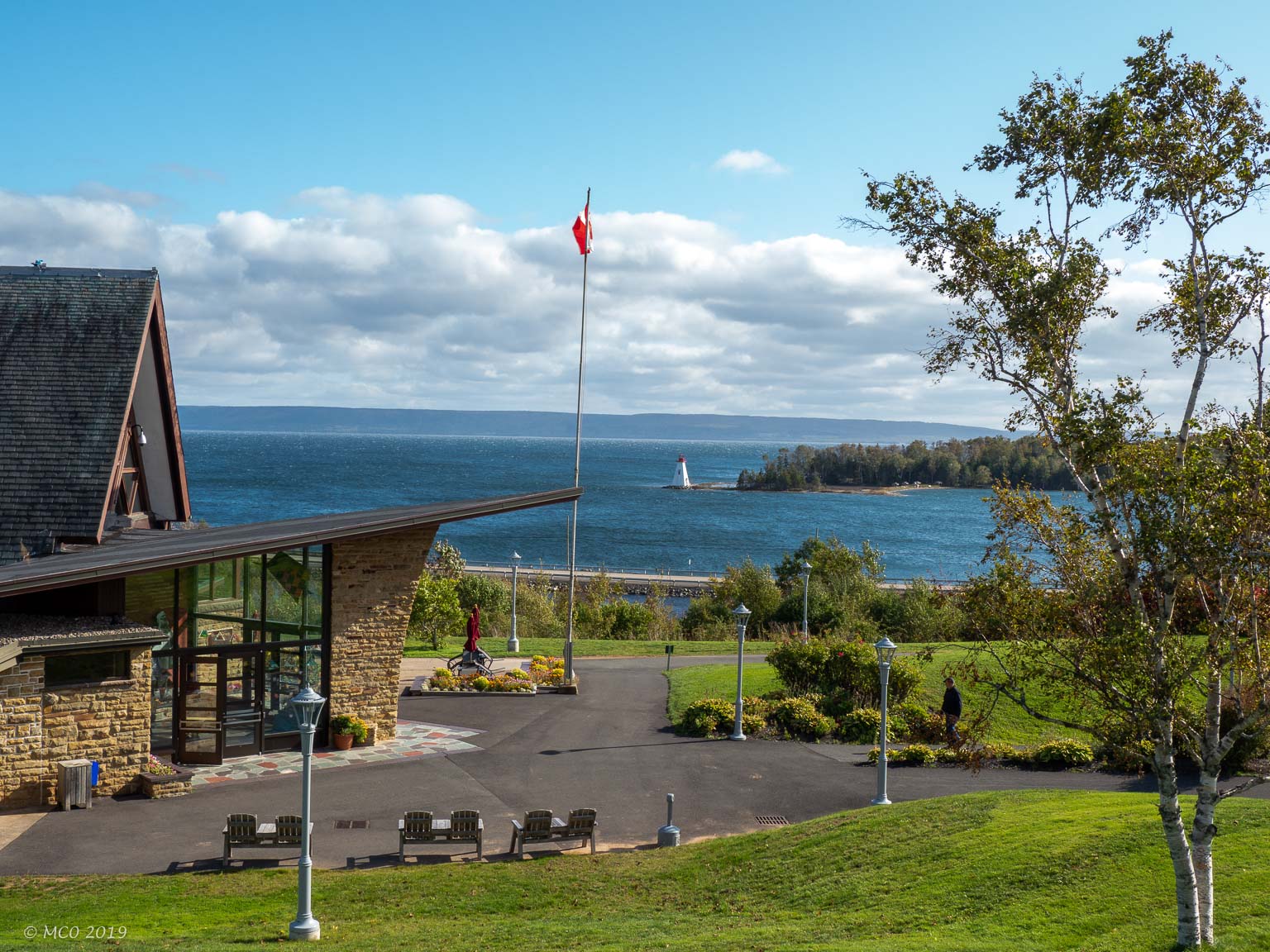
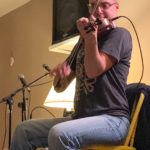
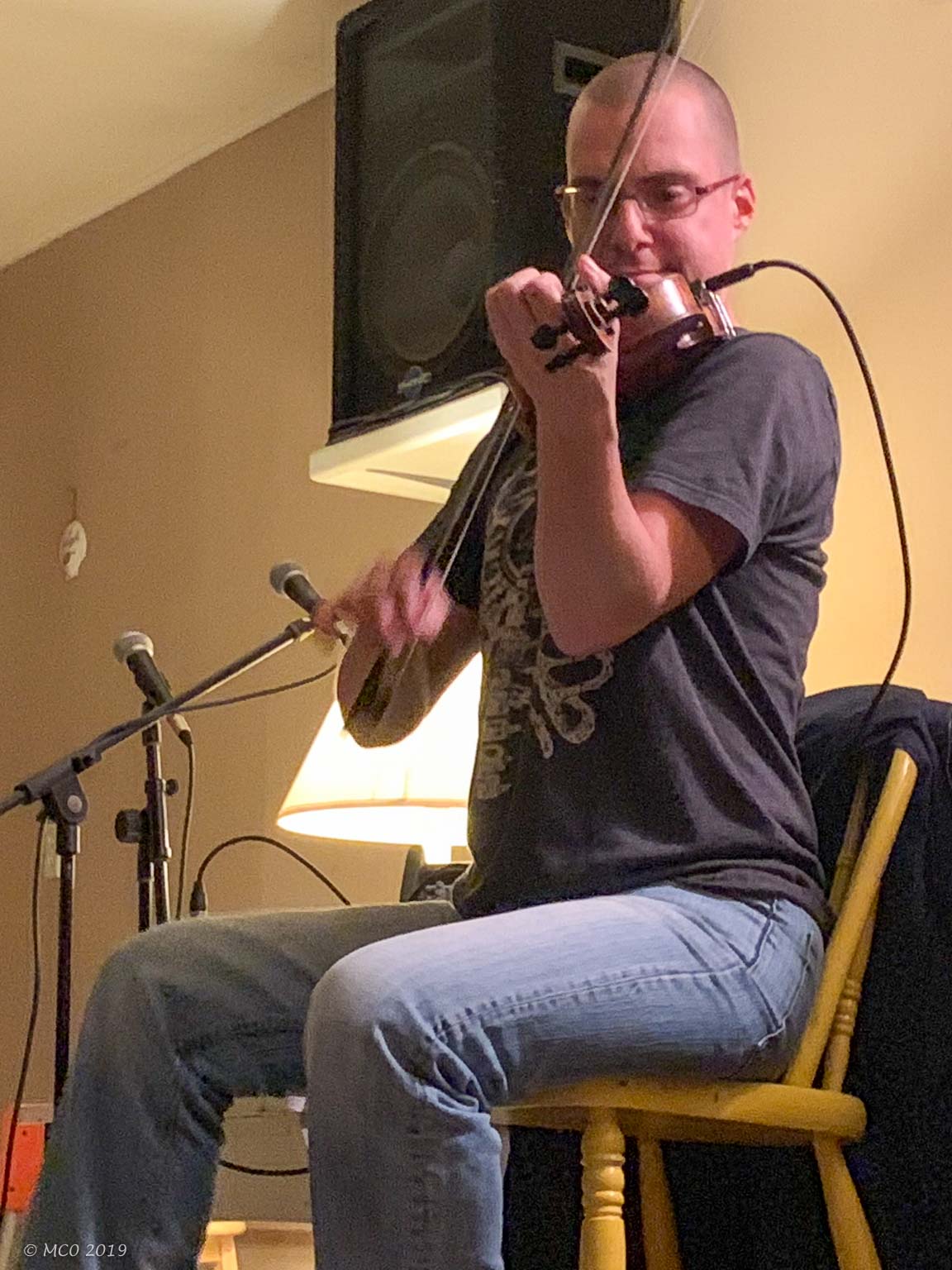
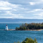
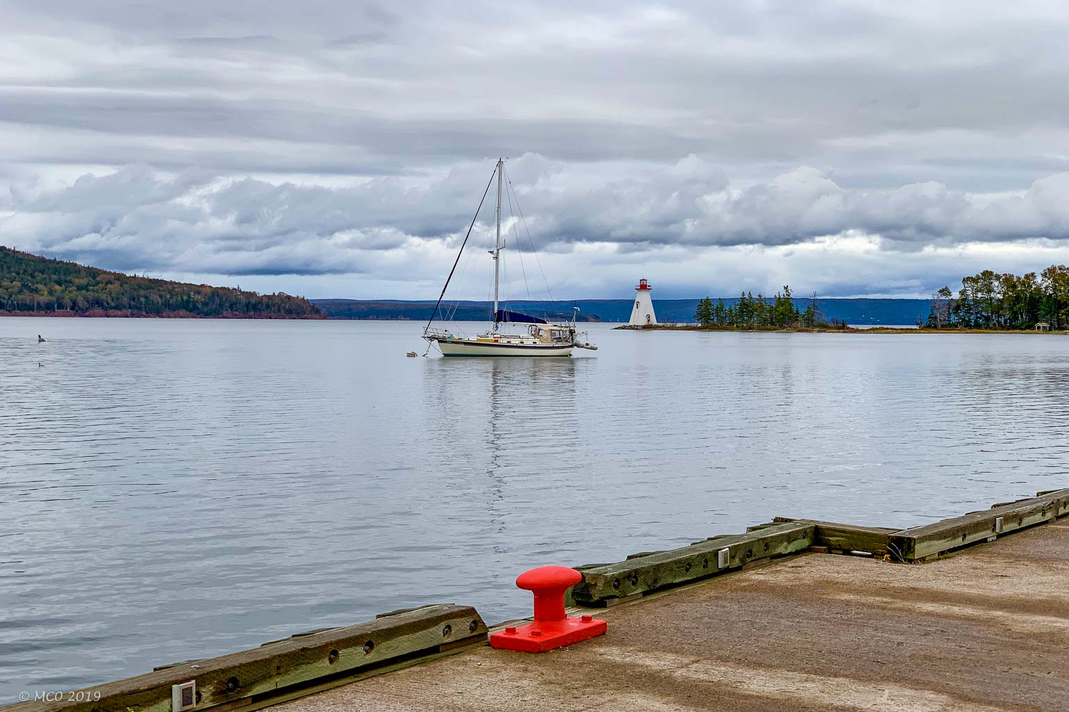
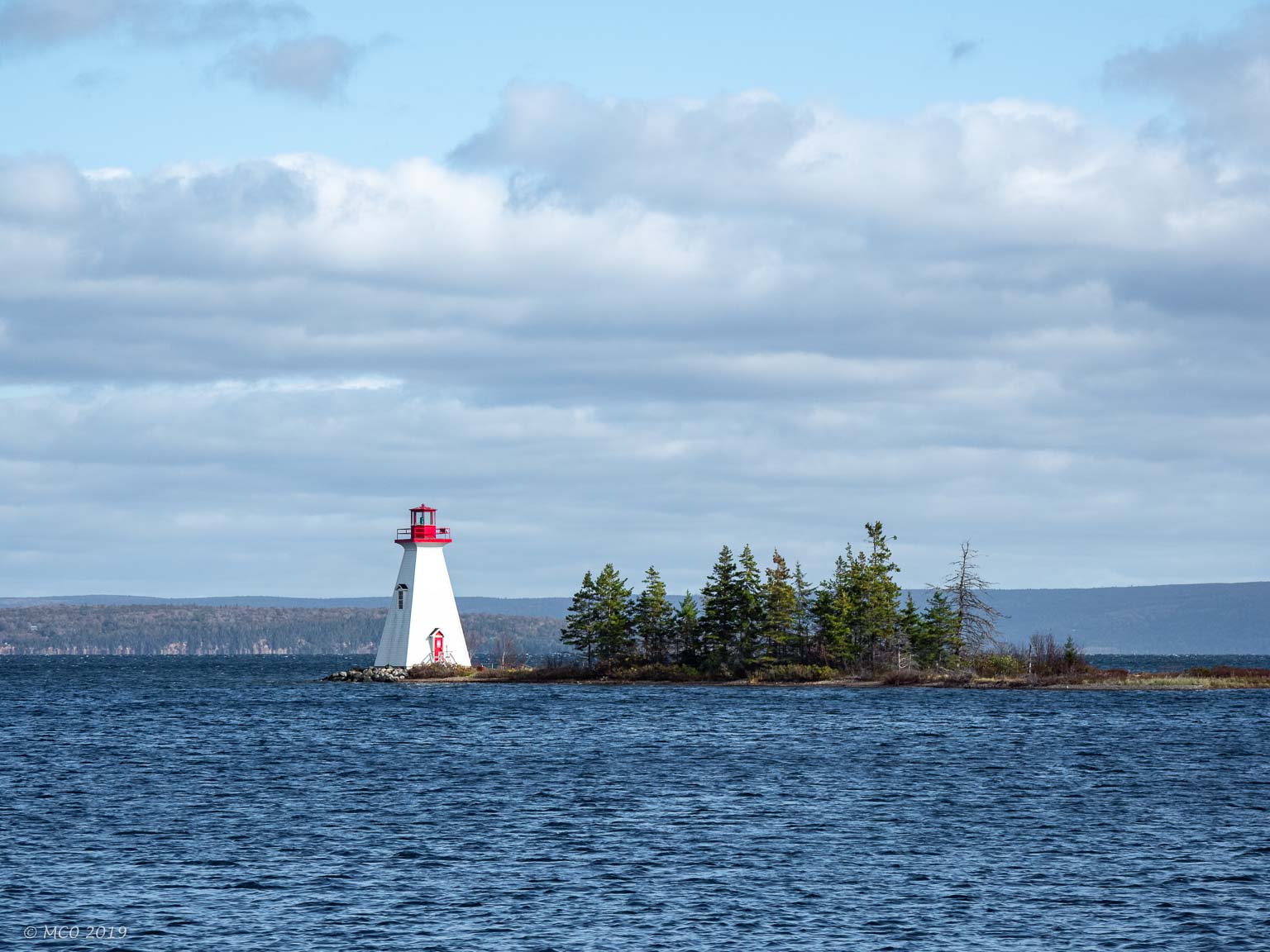
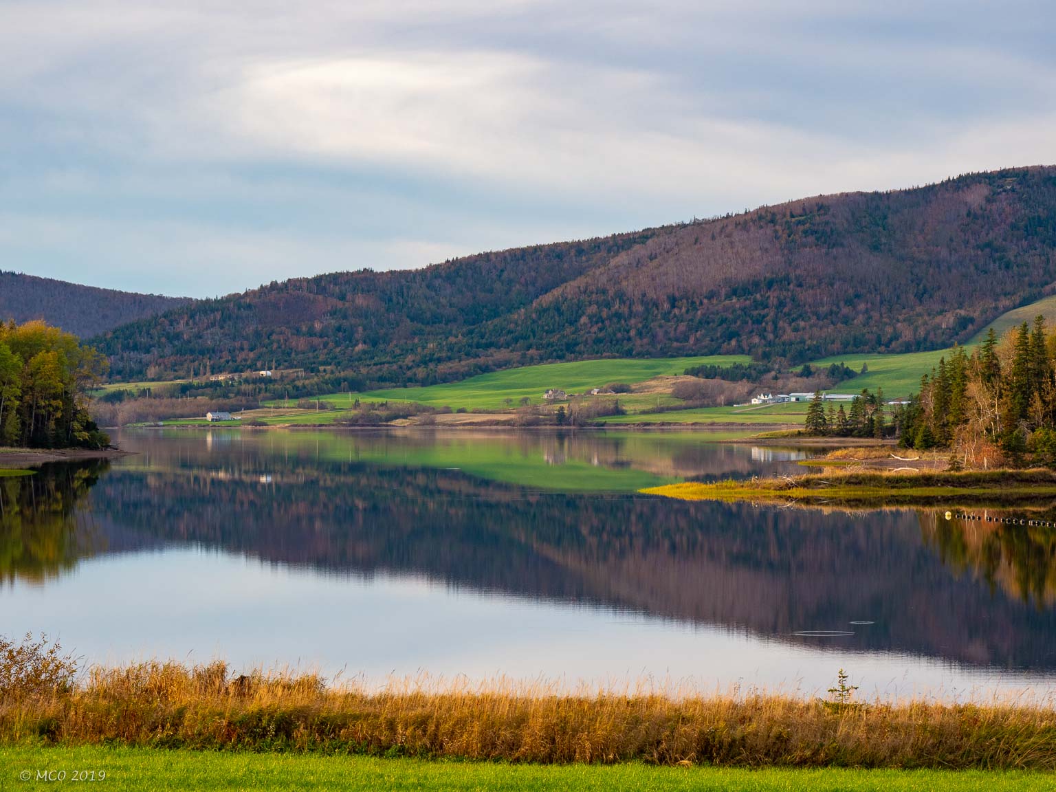
For the second week we focussed more on finding traditional music. We returned to the West Coast and spent time in Baddeck, Judique and Mabou where we were entertained by several different traditional local musicians (particularly Mike Hall and Chrissy Crowley), even recognized some of the tunes as ones in our own repertoire. Baddeck is situated beautifully on the Bras d’Or Lake (saline, so also known as an inland sea) where we visited the Alexander Graham Bell Museum. We learned about the contrast in styles between Bell and Edison who worked together on the development of the telephone. Bell spent a good part of his life on his estate near Baddeck.
Click on any thumbnail below to see larger size image gallery.
-
- Canadian Coastguard waiting to transit lock at Canso Causeway
-
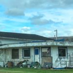
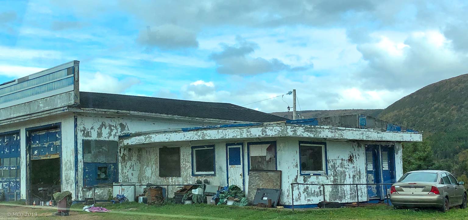
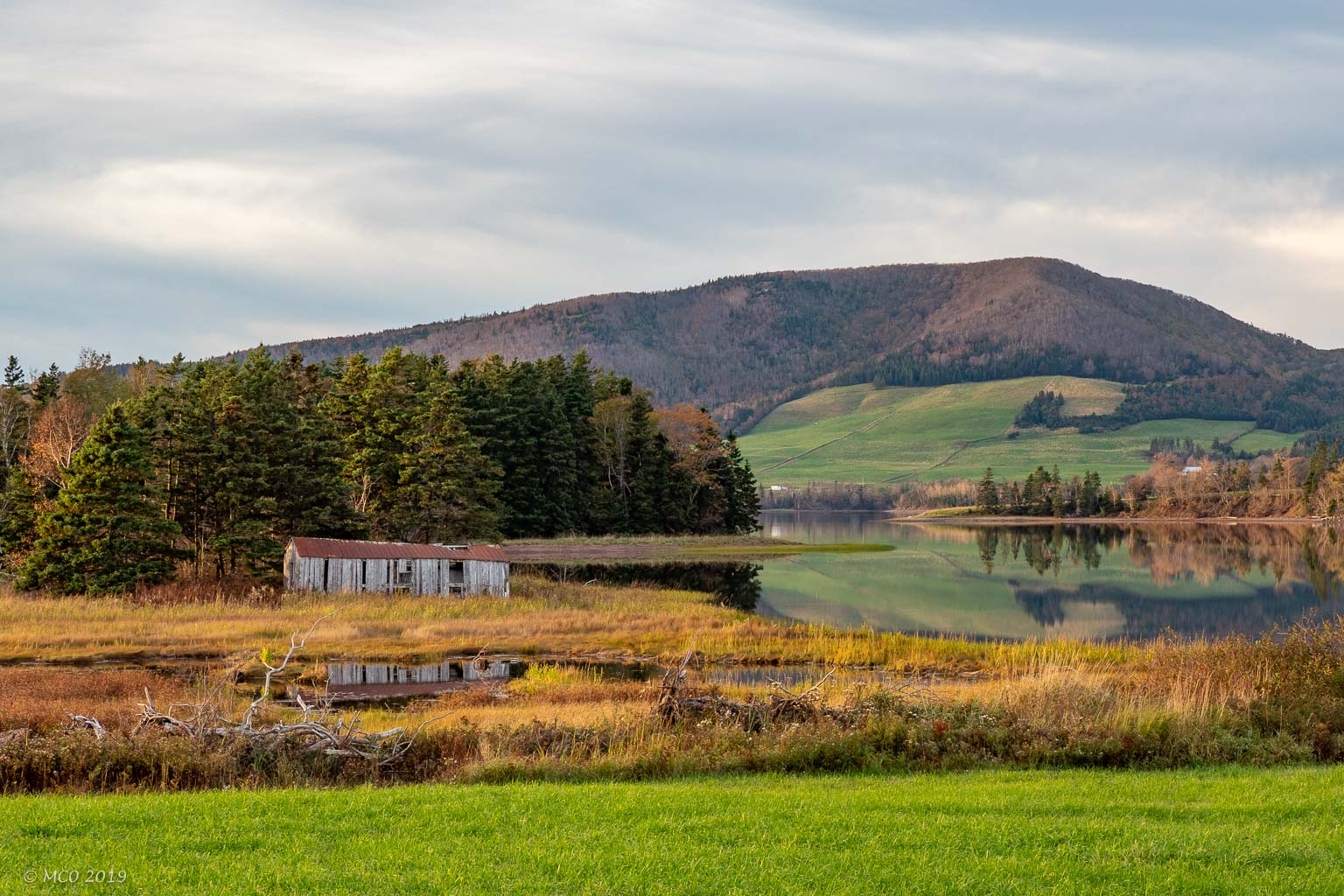
- Nova Scotia Fixer-Upper
-
- Salmon Ponds trail
-
- Acadian trail
-
- ‘Not another waterfall’
-
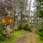
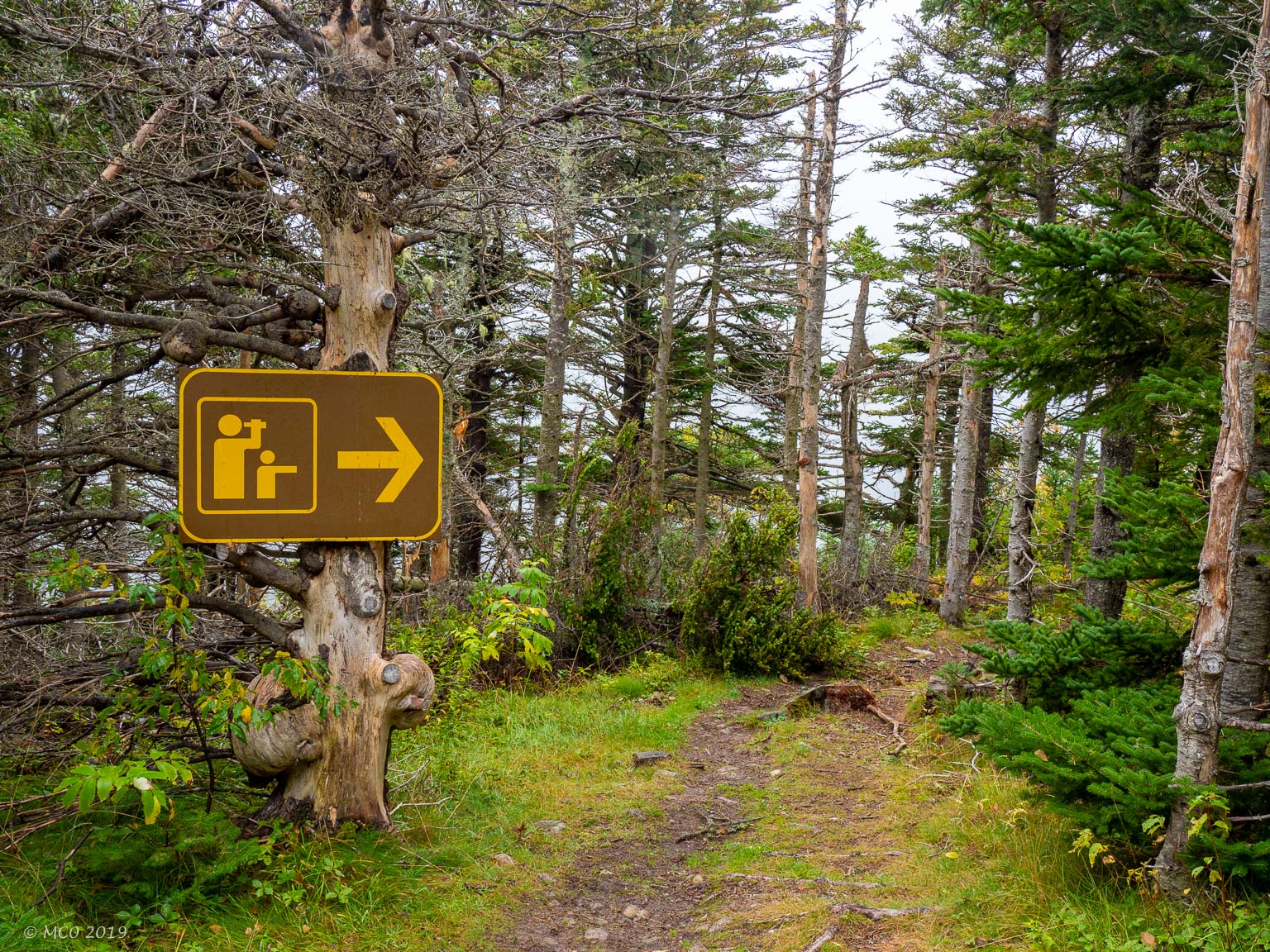
- Canadian Park sign…
-
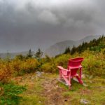
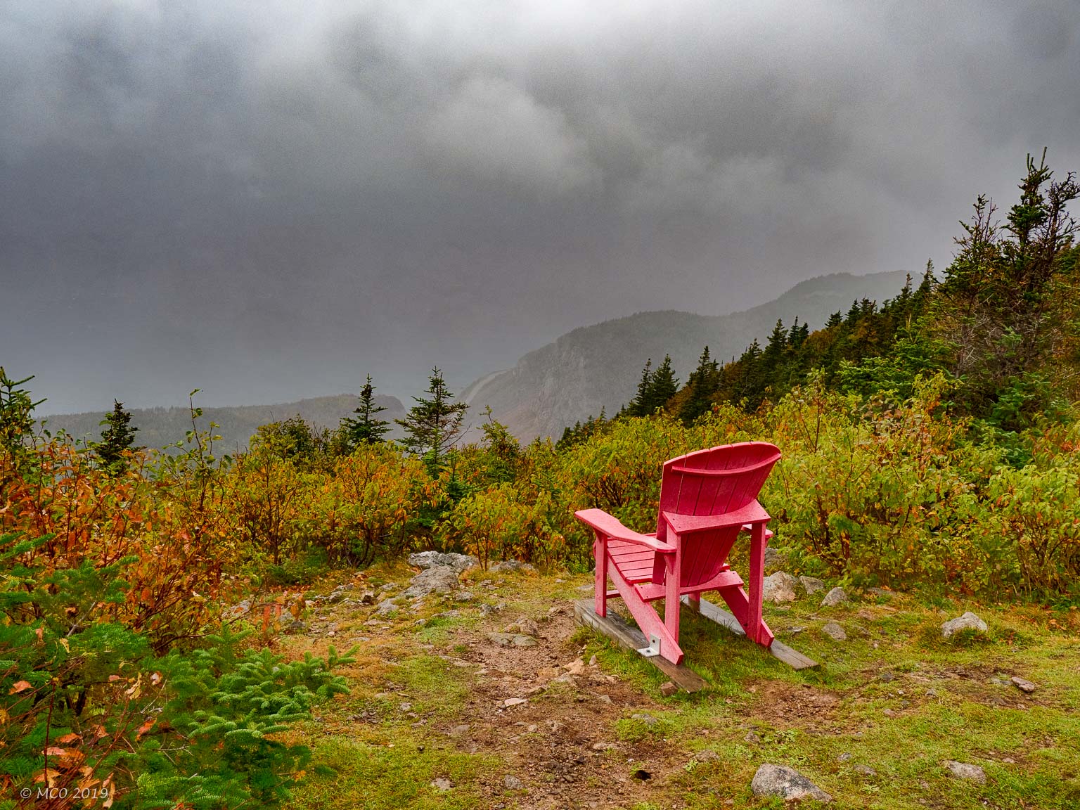
- … and a chair to enjoy the view
-
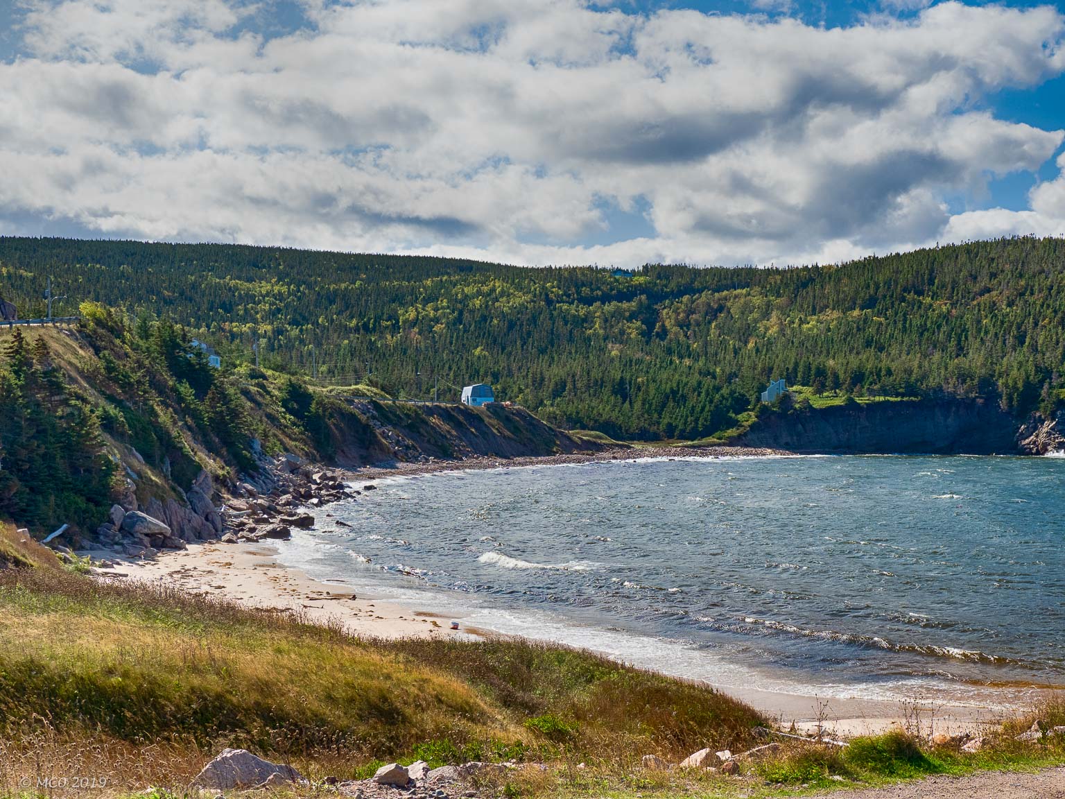
- Broad Cove nr. Ingonish
-
- Cabot Trail…
-
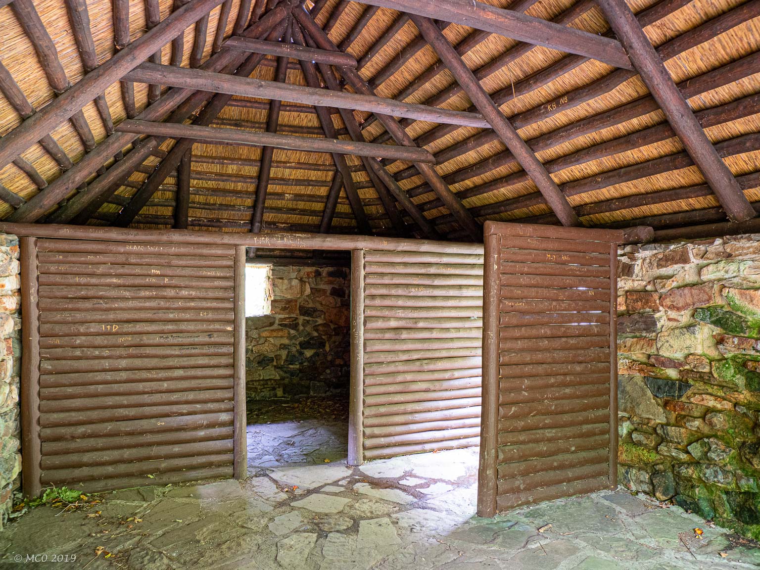
- Scottish Crofter Hut replica
-
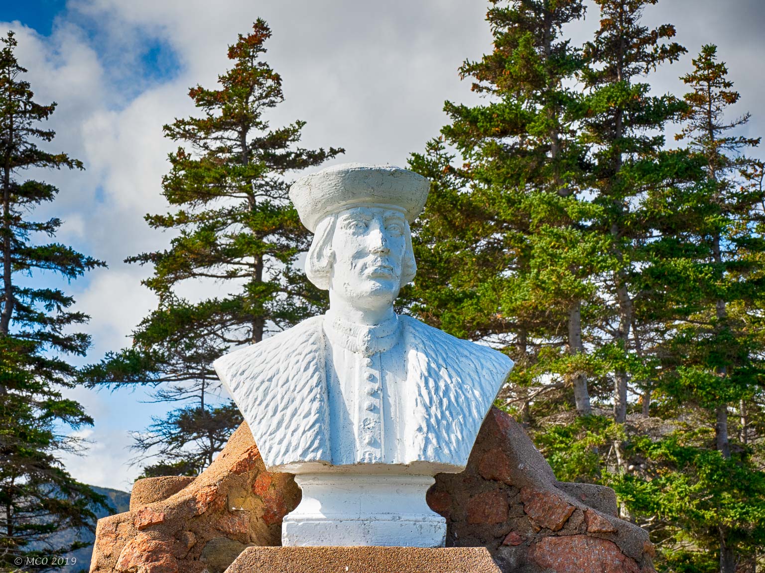
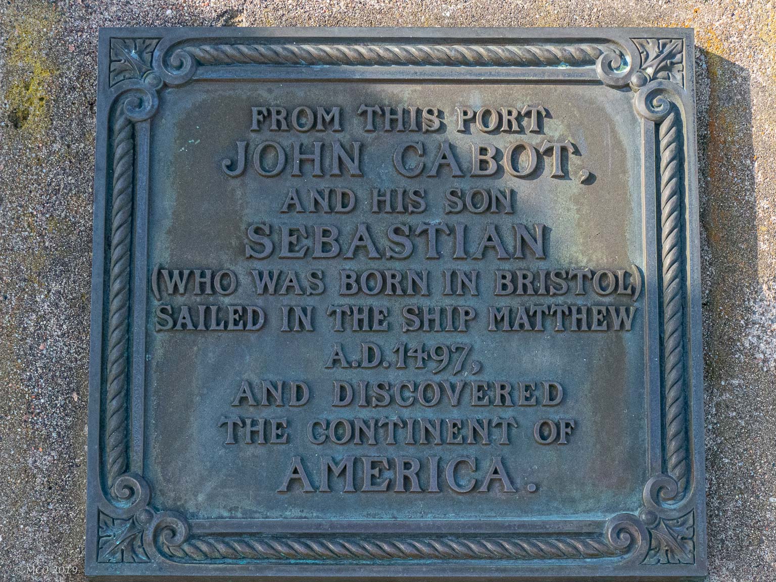
- Cabot Memorial
-
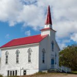
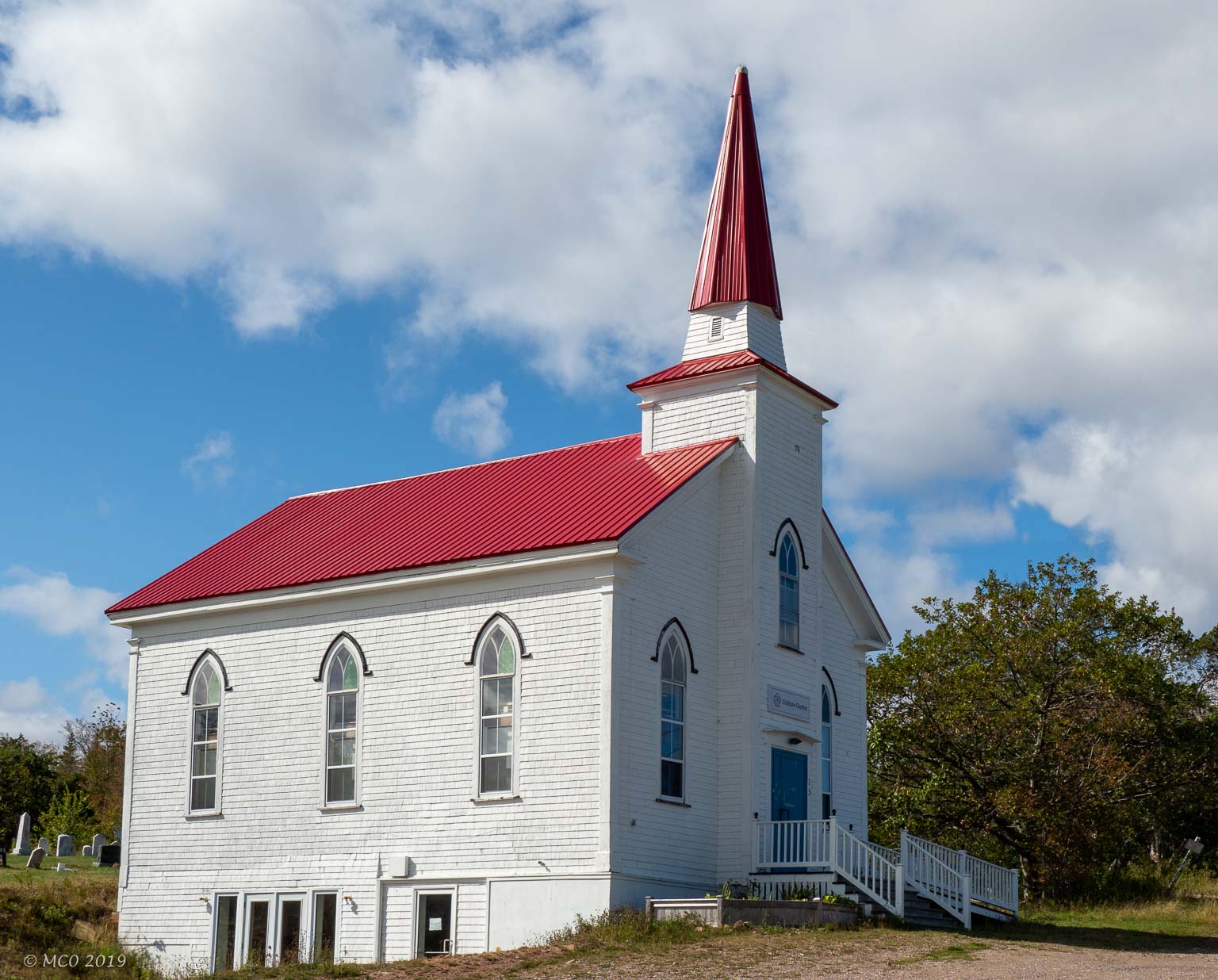
- Church now a Culture Center

-
- Baddeck
-
- Alexander Graham Bell Museum
-
- Mike Hall at Baddeck
-
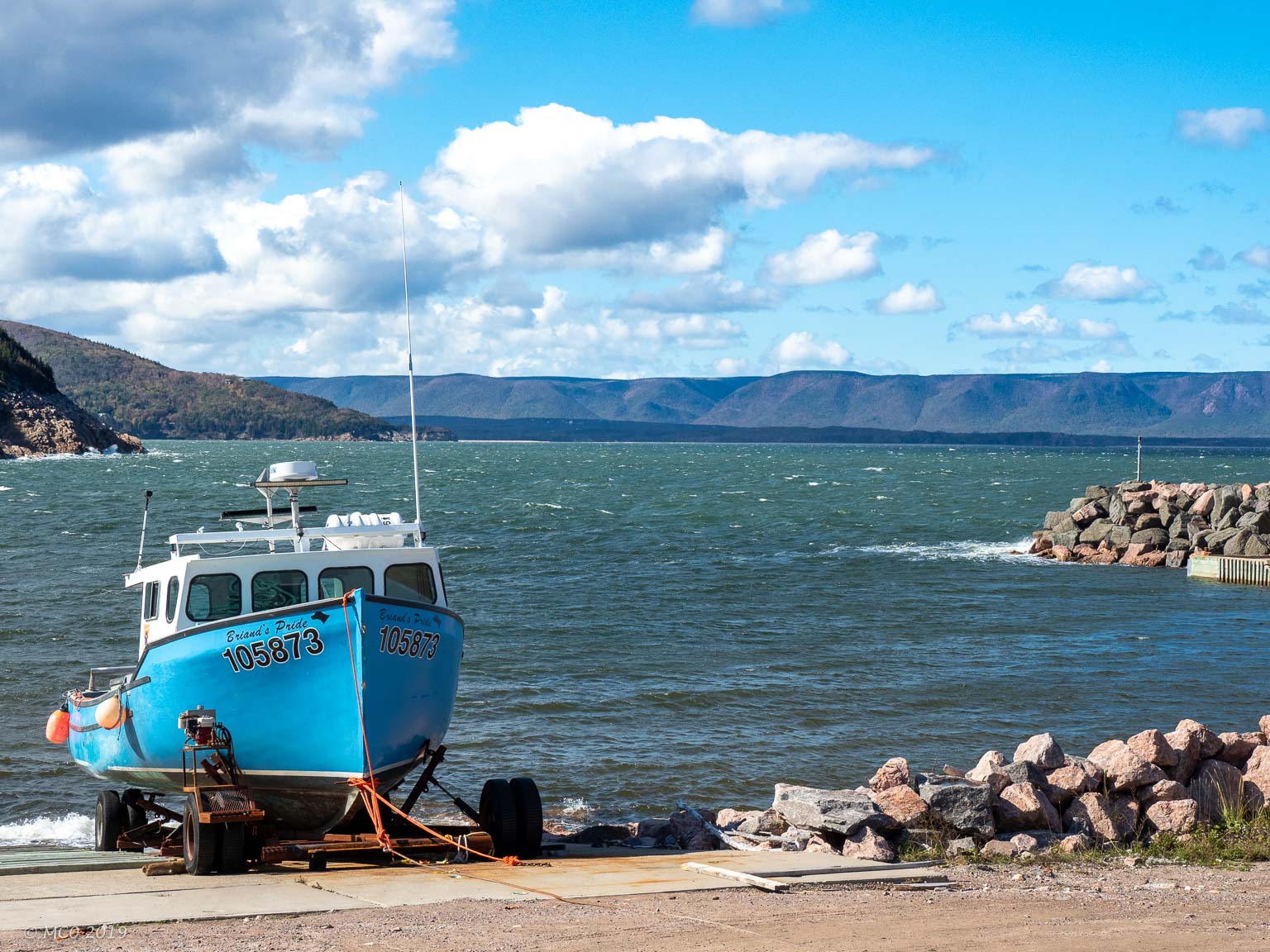
- Bras d’Or Lake at Baddeck

-

- Mabou Pub
-
- Chrissy Crowley playing at the Red Shoe
-
- Mabou Views…
Click on map to show location detail
Des photos magnifiques
Une nature superbe
Des ciels fabuleux
But the one I prefer is the lady with her or his dog💖
Bravo le photographe :you are talentueux.
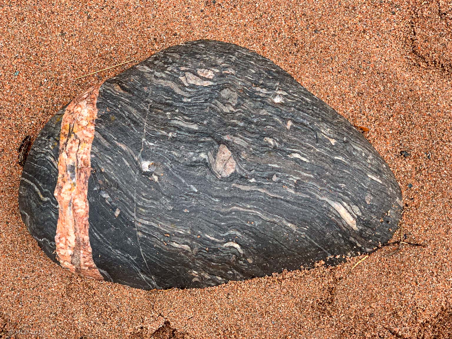
How interesting! And the pics. well, spectacular, and the peacefulness wafts from the screen. Beautiful. That rock! I studied it for several minutes. sigh.