
Bay of Fundy
Fundy National Park
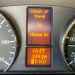
 We crossed the border into New Brunswick, Canada without incident and headed for Fundy National Park where we were booked in for three nights at the Point Wolfe campground. Looking at the van’s GPS on the way to the campground, we were surprised to see we were on Micmac Road! It turns out that there is a local tribe of ‘First Nation’ people with the name Mi’kmaq. Our van’s license plate ‘Mick Mac’ was of course not named after them but after Colin’s father, Mick McNaught, who’s students shortened it to MickMac.
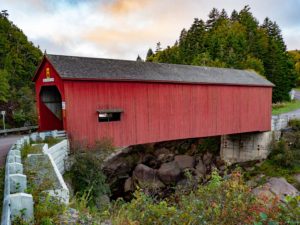
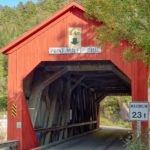
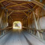
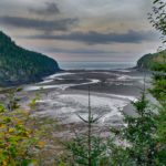
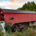
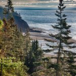
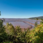
The campground was accessed via a covered bridge (rare in this part of the world) so was restricted to vehicles similar or less in length to ours. The park covers a large part of the New Brunswick coastline of the Bay of Fundy. This has one of the highest tidal ranges (close to 40 feet) and also has a tidal bore like the Severn River Estuary between England and Wales. The first evening, Colin and Bindi hiked down to the beach and discovered (it was low tide) they had another rocky mile to walk to get to the ocean!
 New Brunswick and Nova Scotia have many place names in common with Scotland and England. Even so it was a surprise to find our milk cartons with the name ‘Northumberland’. (Colin was born in Northumberland, which borders Scotland, and plays a type of bellows-based bagpipe called, the Northumbrian Smallpipes).
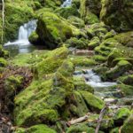
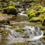
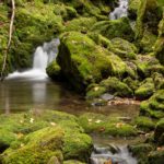
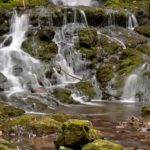
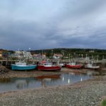
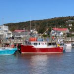
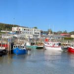
The three days were spent mainly hiking some of the trails near the campground. One of these led to Dickson Falls which gave Colin many opportunities take on of his favorite types of landscape subjects. We also explored the fishing village of Alma, on the edge of the park. The high tidal range also presents a challenge to the fishing fleet which is only able to enter and leave the harbor a short period before and after high tide.
Click on any thumbnail below to see larger size image gallery.
- Entering New Brunswick
- Cheryl at the Helm
- Micmac Everywhere!
- Covered bridge in Fundy NP
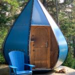
- Unique cabin in Fundy NP called Ôasis
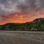
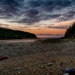
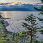
- Sunrise at Wolfe Pointe
- Low tide from the covered bridge…
- …High Tide
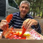
- Lobsterman at Work
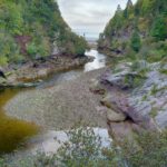
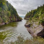
- Dickson Falls
- Dickson Falls
- Dickson Falls
- Dickson Falls
- Northumberland Milk
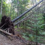
- Hurricane Dorian Impact
- Low Tide at Alma
- High Tide at Alma
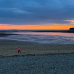
- Sunset on Alma beach
Click on map to show location detail
Hopewell Rocks
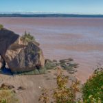
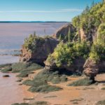
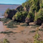
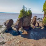
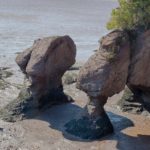
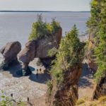
This national park, further North on the shore of the Bay of Fundy, is unique in what it calls, “Flower Pots,” the shape of the rocks after eons of the weathering effect of the high tides. 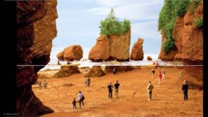 There’s such a big difference between high and low tides, as illustrated in this ad for the rocks we found on the Internet. The upper half of the picture shows high tide and kayakers, the bottom half shows low tide with people walking on the sea bed floor. Bindi and Colin made the trek to the rocks and Bindi had a terrific time playing in the mud while Colin took some photographs.
  Meanwhile, Cheryl maintained a lookout in the park’s cafe. Note that even in New Brunswick, Kashi products were available (with French subtitles)! Some of you know the story, but for those who don’t: Cheryl’s brother Phil and wife Gayle (P&G) created the Kashi company in La Jolla, CA in 1981. After a successful 19 years, the company was sold to Kelloggs and since then, P&G travel the world and do philanthropic work. For more info: Kashi
Click on any thumbnail below to see larger size image gallery.
- Low Tide at Hopewell Rocks
- Flowerpots at Hopewell
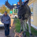
- Bullwinkle and Bindi
Click on map to show location detail




Well, clearly MicMac was destined to visit MicMac Road and surrounding area! Destiny fulfilled! Favorite photos: the sunrise at Wolfe Pointe (what a sky!), the Dickson falls photos,
Alma at high and low tides (so interesting!)…Thanks again for sharing your adventure with your avid fans!
So descriptive and beautiful photos as usual! You are so lucky to be having these adventures!
Colin what are those pink crabs?lobster ? Crevette ?
Do you remember the crabs on the Cheasepeake bay?Such a wonderful souvenir.
Des marées avec une telle amplitude ce doit être étonnant à voir.
Votre travel with the dog est magique.
Bisous
What fun to travel with you through these articles and photos. So glad you were able to get that far north! Love to you both.
It has been a joy to travel north with you. We especially enjoyed revisiting the Bay of Fundy and the surrounding area, a place that we difficult to leave when we travel there a few years ago