
Columbia Gorge
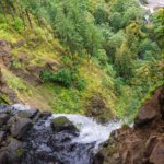
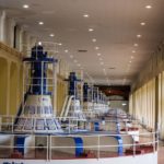
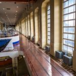
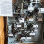
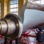
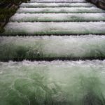
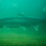
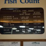
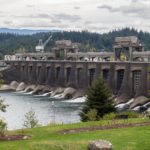
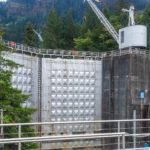
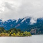
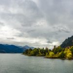
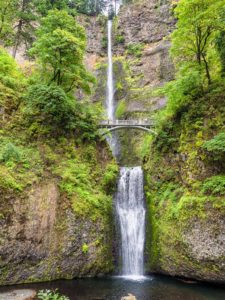 We couldn’t travel South through Washington and Oregon without visiting the Columbia Gorge. Known to Colin as one of the best windsurfing locations in the world, he was hoping for some action shots at Hood River. However, the weather didn’t cooperate for the three days we were there, very rainy and windless, so our photographic efforts were severely limited. However we did enjoy some dry weather at Multnomah Falls where Colin hiked the switchback trail to the top, 700 ft above the parking lot. We visited the Bonneville Dam and Lock facility, built as part of the ‘New Deal’ in 1934 employing 3,000 previously unemployed workers. We toured the original power station, still in use today. Colin was particularly interested in the original electro-mechanical control system on display which adjusted the water flow through the turbines via the blade angle to maintain the electrical power outlet. Like the many other dams and locks across the river, there is an extensive fish ladder system to allow salmon to negotiate their way up the river to their spawning grounds. ‘Fish counters’ are employed to watch the fish transiting the ladder at an underwater viewing point and a display of the current fish count is available.
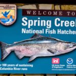
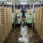
 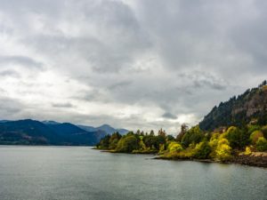 Upstream, towards Hood River, we visited the Spring Creek National Fish Hatchery, one of six on the Columbia River, and learned how it operates, raising more than 10.5 million Chinook Salmon annually. This was built in 1901 in response to heavy pressure on the fish population due to fishing pressure from the expanding population on the river and loss in habitat due to the building of the many dams across the Columbia River. It was flooded when the Bonneville Dam was built and so was rebuilt further upstream in 1972. We saw the trays of hatching salmon eggs and learned that the salmon raised in hatcheries have their adipose fin clipped so that they can be recognized and do not have to be released when caught. We were surprised to learn that despite these large numbers, only about 6% of the mature salmon in the river are hatchery raised.
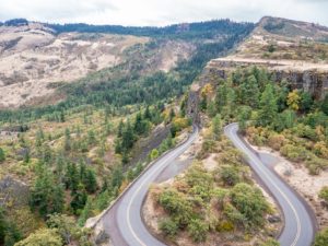
We took the Historic Columbia River Highway to The Dalles and learned, from the marker at the Rowena Crest Viewpoint, about the way in which the Gorge was created as a result of vast 1,000 ft high glacial floods at the end of the Ice Age, known as the Missoula Floods. At The Dalles, we visited the Columbia Gorge Discovery Center which had some fascinating displays and information. Of note were some old movies showing Native Indians fishing with spears off the rocks at Celilo Falls, upstream from the site where the Dalles Dam was built in 1957. The opening of the Dam saw the submersion of Celilo Falls along with the village of Cello and the consequent decimation of the native fishing grounds and economy.
Click on any thumbnail below to see larger image gallery.
- Multnomah Falls
- View from the top
- Water Turbines / Generators
- Art deco generator house
- Electro-mechanical flow regulator (see text)
- Turbine Blade
- Fish Ladder
- Upstream Struggle
- Manual Fishcount
- Main Spillway
- Lock Gates
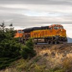
- Freight train on Washington side of river
- Spring Creek Fishery
- Egg collection
- Salmon hatching trays
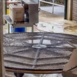
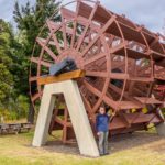
- Hood River Paddle Wheel from one of the Gorge Steamers
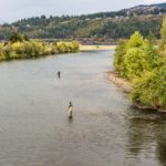
- Hood River Fishing
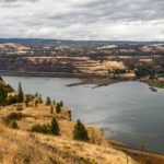
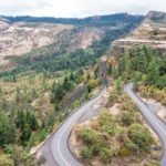
- View from Rowena Crest
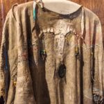
- At Columbia Gorge Discovery Center
Woven Baskets at the Columbie Gorge Discovery Center, The Dalles, OR
Map Text
Click on map below to see larger version
Columbia Gorge

How disappointing. When you wrote that Colin was looking for some “action shots on Hood River” in reference to windsurfing, I immediately thought: “I didn’t know Colin windsurfed”. I’d love to see those shots. What an interesting area. Had no idea. Love the waterfall shots.
From Cheryl: Actually, Colin has tried to windsurf many times over the years, especially at some of the Club Meds we’ve vacationed at where all the sports are included, usually with lessons. He’s done rather well, but this trip was to film all the experts on the water, so we were disappointed with the lack of wind and therefore, no windsurfers. Ahhhhh, next time. Glad you liked the waterfall shots, Colin takes a million of them to get just the right one . . .