
Estuary To Glacier
We visited both ends of the Nisqually River in Washington State, of which the source is a glacier high up on Mount Rainier. The river runs into the Puget Sound at the newly created Nisqually National Wildlife Refuge.
Nisqually National Wildlife Refuge
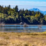
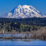
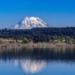
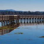
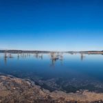
Most estuaries on the Puget Sound have been filled, dredged or developed over time. This has caused a drastic reduction in the habitat of many bird, plant and fish species. The Nisqually Estuary used to be an example of one of these. Land was used more and more for farming and dykes were built to exclude the salt water. In 2009, 35 years after its creation, the Nisqually National Wildlife Refuge was restored by removing dykes and reconnecting 762 acres of land with the salt waters of Puget Sound. The Nisqually Wildlife Refuge is now open to the public and managed by the US Fish and Wildlife Service. A long boardwalk stretches out into the sound which allows visitors to marvel over the expanse of land and the wildlife. If you’re lucky (and we were) you will see ‘the mountain’ towering above the landscape. We’re told that in this area of Washington, instead of discussing the weather, the most common question when strangers meet is, “Did you see the mountain?” The Nisqually River is fed by the Nisqually Glacier, one of 25 encircling the peak, so it was only natural that our next trip was to Mount Rainier National Park.
Click on any thumbnail below to see larger image gallery.
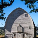
- Barn lookout for Rangers
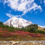
- Mt. Rainier from the estuary
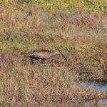
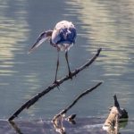
- Whimbrel (rare in this area)
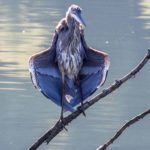
- A curtsey?
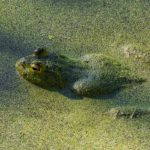
- Submerged frog
Mount Rainier
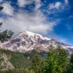
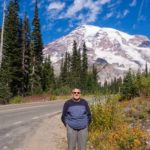
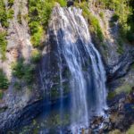
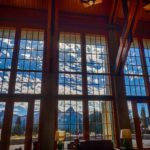
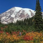
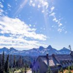
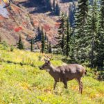
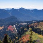
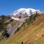
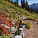
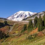
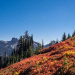
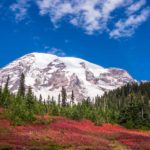
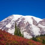
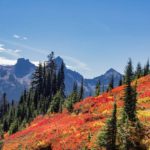
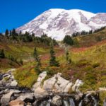
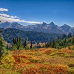
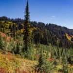
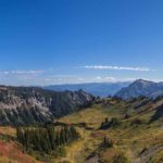
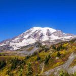
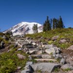
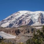
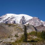
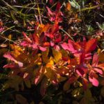
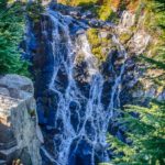
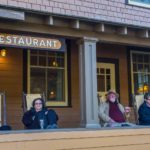
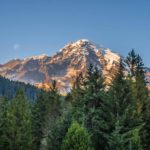
Mount Rainier, classified as an active volcano, is the highest peak in the Cascades mountain range at over 14,400 feet, and is surrounded by Mt. Rainier National Park. It has the most glaciers of any mountain in the contiguous United States. Even at the beginning of Fall, the glaciers were all evident. As we approached the park for a two day visit, we were continually surprised, negotiating the many turns, to see the mountain looming over us. It couldn’t have been a more perfect time to view and hike some of the trails around the mountain. The blue sky framed the snow capped peak while the bright red autumn ferns (bracken) exquisitely set off the pine forests. We drove from our campground via Narada Falls to (aptly named) ‘Paradise’ for our first close-up look at the mountain framed by the Fall foliage. Paradise is the snowiest place on earth where snowfall is measured regularly (1,122 inches in 1971/72). Encouraged by one of the Park Rangers who obviously mis-judged Colin’s age and fitness, he undertook a strenuous hike to the foot of the Nisqually Glacier, saw many waterfalls, mountain streams, black-tailed deer, and marveled at the Fall colors against the blue sky. Later in the evening, we sat on the veranda of the Longmire Lodge, met some colorful fellow travelers, and caught glimpses of the mountain in sunset pink.
Click on any thumbnail below to see larger image gallery.
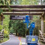
- Repairing the welcome sign
- First View
- Road to Paradise
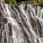
- Narada Falls
- Paradise
- Paradise Lodge
- Colin taking off to the top
- Paradise Inn
- Black-Tailed Deer
- View back to Paradise
- The path to the glacier
- Mountain stream, Luiskin falls
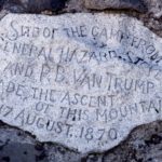
- Base camp marker for first ascent of Rainier
- Close to the snow line
- Myrtle Falls
- Meeting fellow travelers
- Pink Mt. Rainier from the sunset
Map Text
Click on map below to see larger version
Nisqually Estuary and Mount Rainier
Thank you for taking me along on your hike up to the snow line of Mt. Rainier. Spectacular images, as always. I am hardly out of breath, but I imagine it was more of a fitness exercise for you! I loved the red ferns giving bright color to the scenery. I also particularly liked your curtseying water bird in the estuary. I had never heard of that place before.
From Cheryl: So glad you liked the hike, it was wonderful for me to watch Colin go up the steep mountain, capture the red, and stay in the visitor’s center and get some educatin’ on the area. Loved the curtseying bird too! Colin is a hoot the way he keeps finding birds in strange positions.
What’s the french word for “curtsey”? Très drôle cet oiseau. Merci pour ces wonderful photos!
From Cheryl: It’s révérence or arc would be the difference between a woman’s curtsey or bow, and a gentleman’s bow!
Spectacular photos! Loved seeing this. Thanks for sharing your journey with us. I must admit, Fred and I have not done nearly as much with our photo journaling. Impressive!
From Cheryl: You are wonderful to follow us and we’re glad we are doing it for several reasons. But mostly, we can’t remember from month to month where we’ve been! Documentation is everything for our memories. Ha!