
Badlands, South Dakota
Along the Way
The Badlands of South Dakota were named so by the Lakota Indians because of the extreme temperatures, lack of water, and rugged terrain making them difficult to travel in or through. We had planned a day stop at a small campground in Salem, SD but, hearing of the heatwave forecast, we stayed an extra couple of days so we finally got to the Badlands, we could experience them without the extreme temperature. (We planned to stay in primitive campgrounds without the benefit of electrical hookups, which we need if we are running the AC for more than a few hours). In Salem, the temperatures rose to 103F during these two days, which gave our AC its first test and kept us cool. Eastern and Central South Dakota is flat farm country, lots of Biofuel plants now, as was our route through Minnesota from St. Paul. We kept ourselves entertained on the long straight roads by looking up information about the little communities we passed through. For example, the little town of ‘Norwood Young America’ processes virtually all the rebate, coupon, and marketing programs for US businesses. The town receives vast quantities of mail and has over 20 zip codes, including 55555. Strange, isn’t it?
Click on any thumbnail below to see larger image gallery.
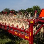
- Farm Equipment for sale in Salem
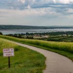
- Rest stopoverlooking the Missouri River
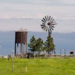
- Iconic symbol of farm country
Badlands National Park
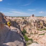
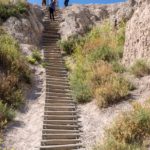
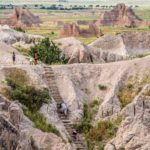
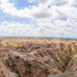
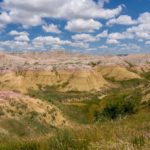
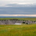
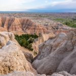
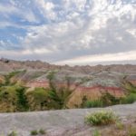
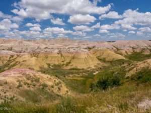 We spent our first day touring and hiking the area, staying in the Cedar Campground near the Park Entrance. The contrast between the rugged hills and the grasslands above was stunning. Colin hiked the ‘Notch’ trail up a canyon to the top of the ridge overlooking the valley, which included a ‘ladder’ and some challenging trails along the rock fac
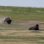
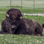
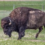
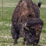
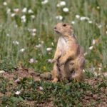
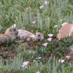
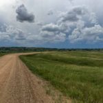
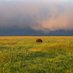
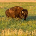
 e. Next, we traveled the Sage Rim Road, unpaved and shaky, to our next two day’s campsite, which we spent at the Sage Creek ‘primitive’ campground. This route gave us our first opportunity to see and photograph Bison which roam free in the park, stopping along the way to watch a Prairie Dog ‘settlement’.
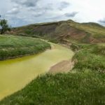
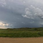
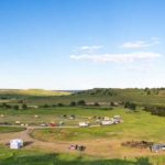
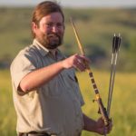
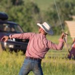
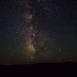
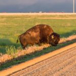
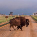
 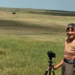 We crossed Sage Creek, an amazing yellow-green color and found a spot in the ‘no fee’ campground before a storm blew in and soaked several campers pitching tents. The campground is a starting off point for Horseback Trekking as well as hiking. The last evening Colin climbed the hill for a view of the campsite and watched a Ranger talk about the Lakota’s hunting technique using an arrow launcher. After the moon set, he took some photos of the night sky through the clear air. The next day, we left very early for Rapid City and encountered some ‘pink fog’ in the morning light, as well as a Bison that exercised his right of way by crossing the road in front of us.
Click on any thumbnail below to see larger image gallery.
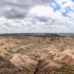
- Badlands
- Notch Trail
- Notch Trail ladder
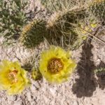
- Cactus en route
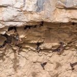
- Cliff Swallows nesting
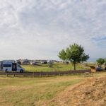
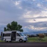
- Campsite at Cedar
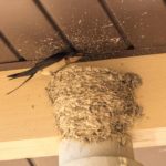
- Campground Swallow nest
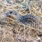
- Chipmunk transporting straw
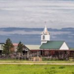
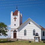
- Church at Interior, SD
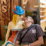
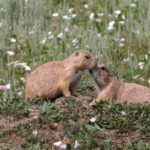
- A new girlfriend?
- Prairie Dog on alert
- Sage Creek
- Storm approaching
- Campsite view
- Campsite view of storm
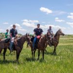
- Trail Riders
- Campground from above
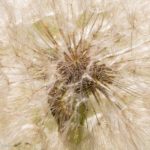
- Evening light through Dandelion
- Gathering for the Ranger’s Talk
- Lakota Arrow Launcher
- Having a go
- Stars and Milky Way from Sage Creek Wilderness
- Early Morning Fog
- Bison Right of Way
Click on map below to see larger version
Sage River Primitive Campground, Badlands NP, South Dakota




Loved the blog yet again. Hope you had safe shoes on climbing that ladder. Favorite photos: the prairie dogs, the dandelion, the night sky (how did you DO that?!), several of the bison shots, the panoramas, and the “iconic” farm/church image. Is that all of them?)
From Cheryl: We had such fun seeing animals in their natural habitats. We love your enthusiasm for our blog and Colin’s photos. Thank you for continuing to give us absolutely beautiful feedback!
Magnifique photo de la voie lactée. Impressionnant ce bison. J’adore les chiens de prairie. Des images qui me font rêver. Bisous.
From Cheryl: Those prairie dogs were a hoot, quite entertaining, and so precious looking. The bison are such magnificent beasts, we were so happy to see the population growing.
Pingback: Death Valley, California – Mick Mac Travels