
Ocala National Forest, Florida
Greenway or Canal?
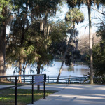
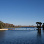
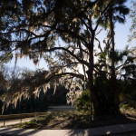
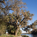
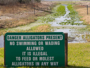 We spent a night by the edge of the Cross Florida Barge Canal (click for more info) at Rodman Dam Campground. This canal was never completed and after many legal battles has (along with adjoining land) become the Marjorie Harris Carr Cross Florida Greenway.
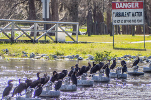
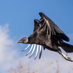
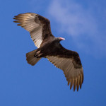
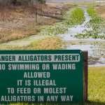
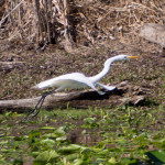
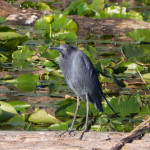
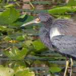
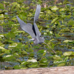
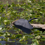
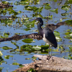
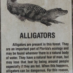
Despite the warning of alligators, we found lots of interesting birdlife at the spillway by our campsite and downstream of the dam.
- Black Vulture in flight
- Black Vulture hovering
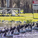
- Waiting in the take-out line
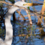
- Great Egret
- Great Blue Heron
- Salt Springs
Ocala NF Springs
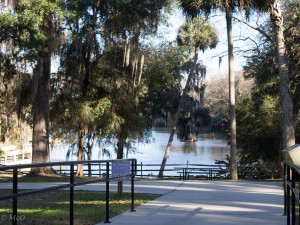 Ocala National Forest covers 607 square miles in central Florida and consists mainly of a sandy pine scrub ecosystem. There are many lakes and ponds but most interestingly, four major Springs that feed into adjoining lakes. We visited Salt Springs and Silver Glen Springs which both are major sources of water feeding lakes in the forest.
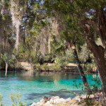
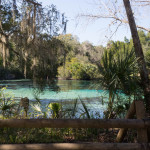
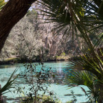
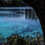
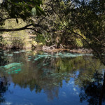
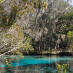
 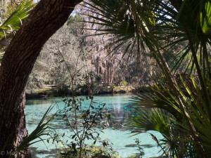 Silver Glen Springs flows with 70 million gallons of water a day feeding into a beautiful aquamarine swimming area.
- Silver Springs
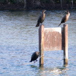
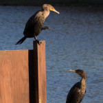
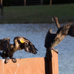
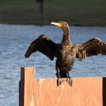
- Cormorants enjoying the spring
- Salt Springs
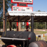
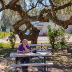
- Sampling the local BBQ
Click to see larger map
Don’t afraid of alligators? Is it spring there? Such a good idea to travel like that. Enjoy Cheryl and Colin.
Looks like you guys are having such a wonderful time. I’m sure you resisted the urge to molest alligators and spent your time taking fabulous photos instead!