
Tobermory

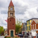
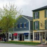
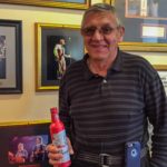
 We decided to make our way to the South shore of Lake Superior via Ontario’s Bruce Peninsula, taking the Chi-Cheemaun ferry to Manitoulin Island and on to Sault Ste. Marie. Tobermory, a harbor town at the tip of the peninsula, is named after the similar Tobermory in the West of Scotland. It is a pleasant tourist spot and was busy readying for Victoria Day weekend, marking the opening of the Summer season. We toured the town, found a spot to eat, Tobermory Brew Inn and retired to our campsite at the National Park. On the way to Tobermory we found a street bearing our name. Canada is home to a large number of Scottish immigrants.
Click on any thumbnail below to see larger image gallery.
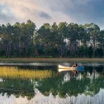
- Tobermory Harbor
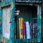
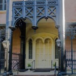
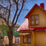
- Local Library
- Dinner at a local brewing company
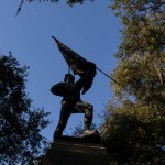
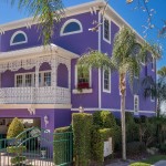
- The tribe name
Click on map below to see larger version
Tobermory
Bruce Peninsula
Lying between Georgian Bay and Lake Huron, the Bruce Peninsula is a rocky, forested area with many parks and hiking opportunities. The water in Georgian Bay is a beautiful ‘aquamarine’ color, turning blue in the distance. We took two hikes, one from our campsite in the National Park at Cyprus Lake to Indian Head and the Grotto. The other to Halfway Log Dump and along the Bruce Trail for a short way along the shore. We met a fun couple with their husky ‘Hudson’, very tired after clambering over the rocky shore.
Click on any thumbnail below to see larger image gallery.
- Hiking ladies and ‘Hudson’
Click on map below to see larger version
Bruce Peninsula National Park
Manitoulin Island
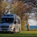
 Taking the Chi-Cheemaun Ferry to Manitoulin Island was a 2 hour crossing over a still sea, with Georgian Bay on one side and Lake Huron on the other. Lots of people travel with their canines and the ferry allows them on 2 ‘doggie decks’, where Cheryl spent most of her time distributing treats. We are staying at a campground at Honora Bay which appears to be run and populated by hippies, so we’re quite at home here. Our campsite is located in a forest on the edge of a lake and we decided to take a vacation from our vacation. We’re chilling out for a few days, walking, playing music, reading, and contemplating what a wonderful life we have! We’re also catching up on a few of our customer requests. See Colin playing his pipes by the lake (video at the end of the post).
Click on any thumbnail below to see larger image gallery.
- Chi-Cheemaun’s Funnel
- Cove Island Light
- Our campsite
- Colin playing his pipes
Click on map below to see larger version
Honors Bay, Manitoulin Island

Niagara Falls

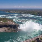
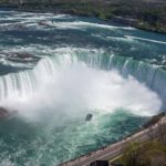
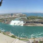
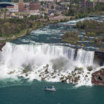
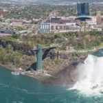
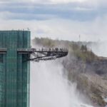
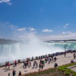
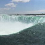
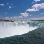
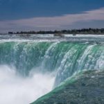
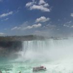
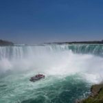
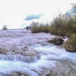
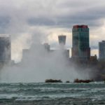
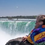
Happily, we visited both the US and the Canadian sides of Niagara Falls, and neither were so busy as to be oppressive. The Canadian side is by far, the more gorgeous side of 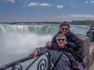 Niagara for several reasons. The views are spectacular, and the public parks continue along the water’s edge for miles and miles of beautiful walking, picnic, and bicycle paths. Such a better balance between commercialism and public benefit. We had fun hearing the roar of the immense amount of water coming down into the falls, but we wanted to get up high to see it in perspective. We had the choice of the 800 ft high Skylon Tower or the SkyWheel. We chose the Tower because it was closer to Horseshoe Falls and
 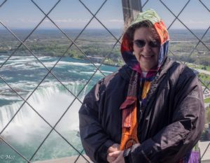 was a lot higher. Although the wind was ‘bloody cold’ and knocking us about, we managed to get some views that would not have been available any other way (a drone or helicopter was not part of our plan). Because this is one of the ‘Seven Wonders of the World’, it is one of the most photographed locations. By the way the water is really green because of dissolved salts from Lake Erie. Colin found orientation difficult until he remembered (again?) that water flows North in this area from Lake Erie to Lake Ontario.
Click on any thumbnail below to see larger image gallery.
Niagara River Gorge

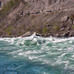
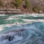
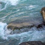
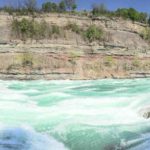
After the water leaves the Falls, it tumbles down into the Niagara River Gorge. It’s like a baby Grand Canyon, where the walls tell the story of time while the amazing green water rushes past us. The rocks represent 410 million years of history exposed by the obvious power of the water. This part of the river is classified as the most difficult level of rapids to navigate (Class 6), and very few have completed it. Many sightseers and adventurers have lost their lives in accidents in this area. The river travels at 40 mph with waves typically 10 to 16 feet high.
Side Story: While taking photos and videos, a group of 40 young ladies surrounded us. They were from a Brooklyn Yeshiva, were part of a chorus, and the trip that included the Gorge was their Senior Year Event (bus trip). While heading back to street level, the ladies started singing four part harmonies, in hebrew. Cheryl started a conversation with them, we took videos, and exchanged emails. Unfortunately, none of the photos or videos turned out. Cheryl was particularly heartbroken that she couldn’t have shared the experience with the blog or the young ladies. We have to experience things in the here and now, and appreciate the special moments that happen serendipitously.
Click on any thumbnail below to see larger image gallery.
Niagara Falls Video (Colin)
Niagara Falls Video (Cheryl)
Niagara River Gorge (Colin)
Click on map below to see larger version
Niagara Falls

Visiting Old Friends
 The first step of our adventure touring North America was a short journey to Lancaster, PA to visit our friends who we met through the Medical Imaging business. Lon was the CEO of a start-up company in Newport News developing a
  new imaging device for early detection of breast cancer. Colin consulted for and then worked for the company for several years. Cheryl also contributed through her Nuclear Medicine and writing skills of operator’s manuals. We became friends and were very happy to visit, dine and catch up with news from Lon and Mary. We were treated like royalty, even provided with a free overnight RV site, their driveway. We vowed not to leave it so long until our next meeting.
Journey North
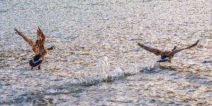
Weather conditions and temperatures were not very ‘Spring-like’ but we pushed on, found some sunshine on our journey and settled into our campsite at Allegany State Park, NY for the night. Even though it was a weekend, the park was almost empty (although we did find a group occupying our campsite).  A small flock of Canadian geese were staying at Red House Lake, looked like they were apprehensive about returning to their homeland while the weather was cold.and wet. The park is beautiful,
 a mixture of hills, forests and lakes and a historic ‘Tudor Lodge’ administration building where we brunched overlooking the lake. If we’d had more time and the weather had cooperated, we would have enjoyed staying a few more days.
Four Mile Creek on Lake Ontario
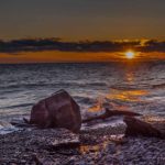
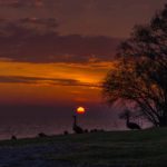
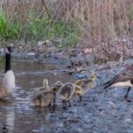
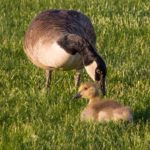
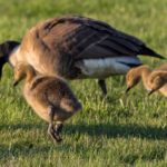
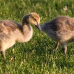
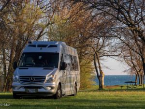 We had decided to make this NY State Park our home for a few days so that we could take a look around Niagara on the Lake and explore the Niagara Falls area (a subject of a future post). Our site was about 100 yards from the Lake so within easy reach for some sunrise photos and next to the creek where Colin found a couple of families of Canadian Geese, staying while their goslings learned to fly. It was peaceful (apart from a grass mower that has been following us around all the way from Florida) still very chilly, windy and only sunny our last day. It was a great place to stay so we didn’t have to compete with the crowds around the Niagara Falls area.
Click on any thumbnail below to see larger image gallery.
Niagara on the Lake
 Thanks goes to Verena Thoma and Christine and Richard Olsenius for helping plan part of our road trip in areas in which they were familiar. Verena and Heinz lived in Canada for many years, and Christine and Richard originally hail from Minnesota, but have traveled this area extensively. We felt fortunate for their gu
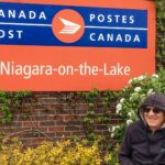
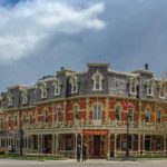
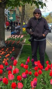
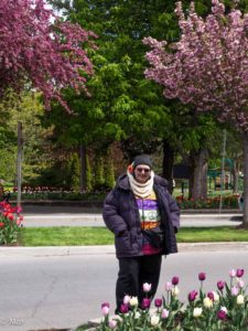 idance, we’re really enjoying the places they suggested. This town, Niagara on the Lake, has a very high cute factor! We toured around and walked through the town finding everything quaint and beautiful, particularly because of all the planted tulips. Ontario’s spring is just starting and we got to see forsythia, red buds, and cherry trees come out en force.
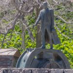
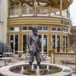
  The trees, on the other hand, have not quite leafed yet. While on main street, we happened upon a store called, The Shiny Company (very New Age) and started speaking with the English owner, Stuart Constable. While chatting, Colin found the perfect bag for Cheryl: Peace signs matching an already purchased peace sign jacket. Can’t take the 60’s out of the California Girl. Niagara-on-the-Lake (NOTL) has featured a well-known George Bernard Shaw Festival since 1962 which is why you see his name and statue appearing over town.
Click on any thumbnail below to see larger image gallery.
- George Bernard Shaw
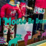
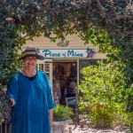
- Cheryl just loved the title of this store!
- Dogs drink in style in NOTL.
- Starbucks Scene
- ‘Selfie Corner’ in NOTL
Click on map below to see larger version
Niagara-on-the-Lake

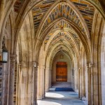
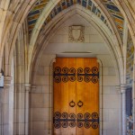
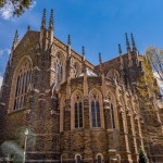
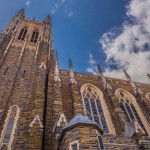
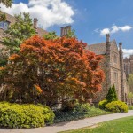
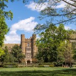
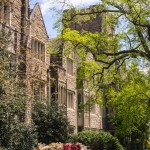
From Cheryl: This was a trip down memory lane for me. It had been 40+ years since walking the university towns of UNC and Duke. I spent a few years in this part of the South attending radiology school and getting to know the beauty of North Carolina. Studying, going to theater and music on campus, hiking the Carolina mountains, and river rafting the creeks were of equal pleasure, but of course I was in my early 20’s! I was pleasantly surprised when Colin stated how much he enjoyed Chapel Hill – for the center of town is the university, a true hub of activity. On the other hand, Duke reminded Colin of his time at Cambridge University, England, as the architecture is similar. The major different: the university in England was founded in 1209; Duke not until the 1838.
UNC, Chapel Hill NC
Click any image below to see gallery of larger size images.
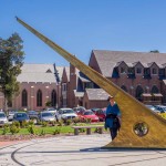
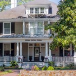
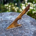
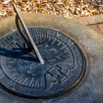
- Sundial at UNC
- Morehead Planetarium
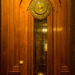
- 15 foot high clock
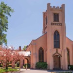
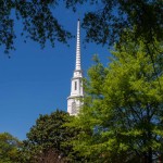
- Church in Chapel Hill
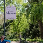
- Arboretum
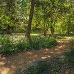
- Meeting paths
- Statistics fraternity? Almost certainly
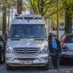
- Parking, no problem…
- Thai straw art
- UNC campus entrance
Duke University, Durham NC
Click any image below to see gallery of larger size images.
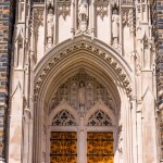
- Chapel entrance
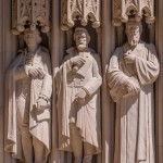
- detail
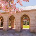
- Cloisters
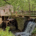
West Point Mill, Eno River City Park, Durham
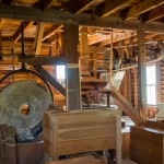
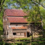
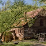
From Colin: Not far from Durham, we found a very pleasant city park with one of the few working water mills in the States. It has a full time ‘Miller’ and flour is ground and bagged for sale in the small shop weekly. It was in full time operation for 160 years until a 1942 flood swept the dam away. It was fully restored and put back into operation in 1978.
Click any image below to see gallery of larger size images.
- Working flour mill
- Feeding, grinding, sifting
Colors in North Carolina
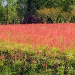
From us both: Cheryl fell in love with the pink flower fields, so we finally pulled over to see them up close. Neither of us had ever seen red thistles! Pretty spectacular clouds and colors..
Click any image below to see gallery of larger size images.
- Pink fields
- Red verges
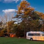
- From our campsite
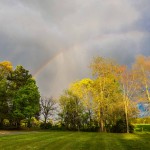
- Raining through the rainbow
- Morning
- Evening
- Our resting place for three nights
A Field of Pink
Click on map below to see larger version
Chapel Hill, NC

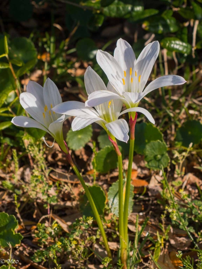
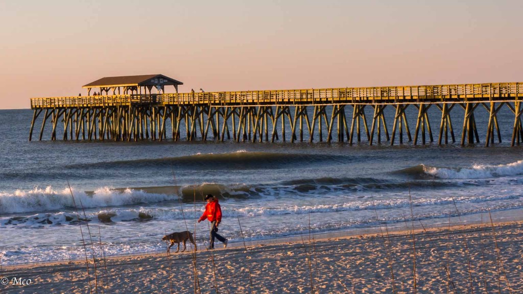 The cool winds of the north have started to meet us in SC. Cool 60s and beautiful blue skies, plenty of flowers budding all over the beach and grasslands. Colin wakes up early each morning before sunrise and goes out scouting for sunrise shots, while I’m still in dreamland.
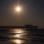
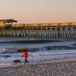
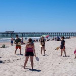
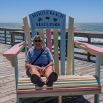
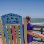
  Myrtle Beach State Park, where we are staying, is beautiful with a well maintained mile long beach, fishing pier, many picnic areas, and spring flowers blooming; a gem in the middle of the wasteland of Waffle Houses, Miniature Golf Courses and high rise Condos. The best thing for me is it seems every camper van around us has dogs for me to pet and play with. So I’m getting my fur fix.
Click any image below to see gallery of larger size images.
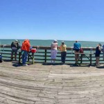
- Early Morning light over the pier
- Myrtle Beach State Park
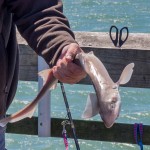
- Small shark caught from the pier
- MB SP fishing pier
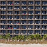
- Shoe boxes
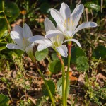
- Beach Morning Glory growing all over out of the grassy areas
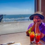
- Bloody Marys at the beach cafe
- Storm on its way
Huntington Beach State Park, SC
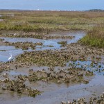
We also visited Huntington State Park and beach, similarly beautiful and well maintained. There we found Atalaya Castle, the winter home of industrialist and philanthropist Archer M. Huntington and his wife, the sculptor Anna Hyatt Huntington. Not a very beautiful building, apparently built without written plans, but very interesting to see how they lived and contributed to the local community’s recovery from the Great Depression. The park also has an extensive marshland area with many wading birds.
- Atalaya
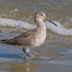
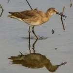
- Sandpiper
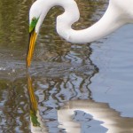
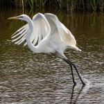
- Great Egret
- Unusually large green patch around the eye
- Snowy Egrets feeding in the oyster beds at low tide
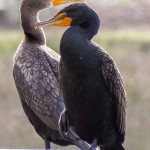
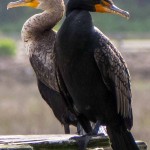
- Pair of cormorants
- Sandpiper
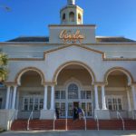
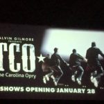
The Carolina Opry (TCO)
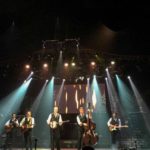
It was a last minute decision to see if we could attend some local music. The highlight of the show wasn’t the musicians and singers (who were all excellent) but rather the dancers All That!, known for putting their innovative hip-hop twist on clogging.
Click any image below to see gallery of larger size images.
Click on map below to see larger version
Myrtle Beach State Park, SC

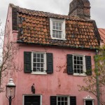
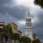
 Charleston is a fascinating city, surrounded on three sides by water, lots of history, full of activity, a surprise around every corner. The weather didn’t cooperate with us and 50,000 runners descended on the city for the last day or two for the annual ‘bridge run’. However we greatly appreciated the ground floor of the visitor center being available for RV parking plus the three free trolley routes through different parts of the city.
  Most of the waterfront is now public access, it’s possible to walk along the front from the Ashley River to the Cooper River via Charleston Harbor and the Waterfront Park, created after the damaging hurricane Hugo.
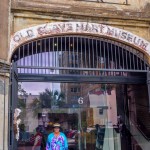
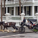
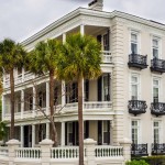
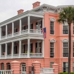
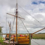
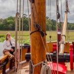
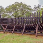
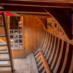
The lower third of the city consists of some beautiful neighborhoods with exotic Southern mansions, most of which are kept in wonderful shape along with their (often walled) gardens. The rest of the city is a bustling hive of shops, museums, churches, and restaurants. 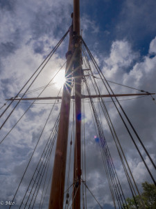 We visited several museums, City Market, Waterfront Park, Slave Market Museum (housed in the original building where slaves were imprisoned and traded for 7 years), and toured around the Mansions. We also took a side trip to Charlestown Landing where the first English settlement in Carolina was created, and where a replica trading ketch is moored.
Charleston
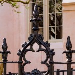
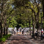
- Private Garden
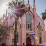
- Huguenot Church (services in French)
- Waterfront Park
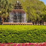
- Pineapple Fountain
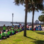
- School Trip
- Slave Trading Museum
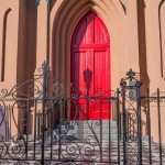
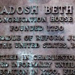
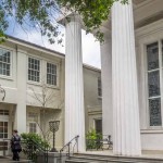
- Charleston Synagogue
Charles Towne Landing
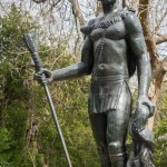
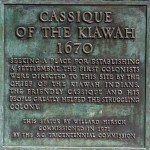
- Kiawah Chief
- Coastal Ketch Trader Replica
- Local Boat Builders couldn’t complete this, contracted Rockport, Maine
- Hold
Click on map below to see larger version
Downtown Charleston, South Carolina

Tybee Island
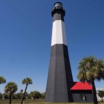
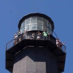
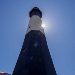
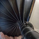
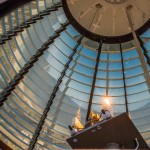
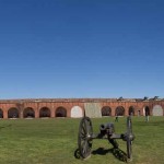
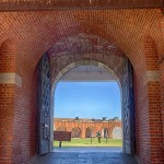
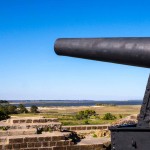
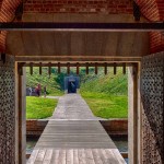
Tybee Island, Savannah’s ‘Beach Town’ is the site from which Fort Pulaski was bombarded and defeated by Union soldiers in April 1862 whose superior ‘rifled’ guns were too much for the Fort Pulaski walls. We toured the lighthouse but the beach was under reconstruction.
Fort Pulaski
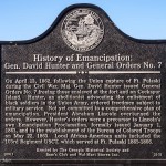
After taking over the fort, Major General Hunter issued the first Union order freeing slaves. This was later reversed by Lincoln, only to be affirmed again by Lincoln’s Emancipation Order of Jan. 1, 1863.
Beaufort,SC
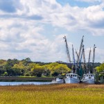
Beaufort, SC (pronounce ‘b-you-fort’) is a very pleasant town on South Carolina Coast and, like many others in the area, has a varied and interesting history. We arrived muddy from all the rain, but blue skies finally came. Spring green pollen is everywhere, noses twitching. So walking around the river front in Beaufort is fun, had lunch under umbrellas and visited historical areas. Later in the day we drove to Hunting Island and found some interesting shrimp boats.
- Our campsite after the rain
- Hunting Beach
Parris Island
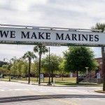
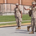
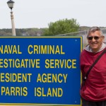
Parris Island was first colonized by the French in 1562. This was the first semi-permanent European settlement in what are considered now the United States. Four years later, Spain founded Santa Elena after troops sent by the Spanish monarch slaughtered French colonists. It was first occupied by the US Marines in 1861 and has been the site of Marine Corps recruit training since 1915. We visited the museum there is which is very extensive, documenting the evolution of training and the service of US Marines around the world. Cheryl, being an avid NCIS fan, couldn’t resist the photo by their local office.
Click on map below to see larger version
Downtown Beaufort, South Carolina

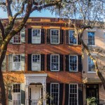
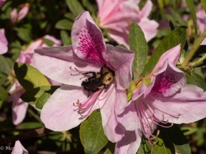 We quickly came through Savannah earlier in our trip, but this time we came with the purpose of seeing spring. Green pollen everywhere so we got our wish. The Azaleas were magnificent and the bees active. We attended a concert during the Savannah Music Festival which featured Marc Broussard, a blues artist who was
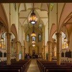
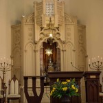
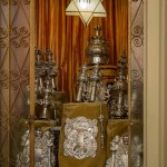
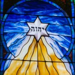
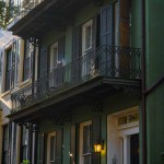
  introduced to Cheryl by her brother Michael and nephew Ben, a special night indeed. Another high point for Cheryl was a tour of the oldest synagogue in Georgia. The Jews came over in 1733, mainly from Spain and Portugal where the Inquisition was in full rant. The founding father of Savannah, James Oglethorpe, believed in the freedom of religion axiom and made sure the Savannah laws allowed Jews to practice their religion, unlike other colonies. It was at the height of Gothic architecture when the synagogue was created, so strange to see a church-like synagogue. What were they thinking? Meld and blend, the melting pot working its wonders even then. Colin took part in a dawn photography walk run by Pablo and Britt from ‘Capturing Savannah Photo Tours’ and (despite temperatures in the 30s) had fun seeing Savannah architecture in the early morning light.
Congregation Mickve Israel, Savannah
Dawn Walking Tour
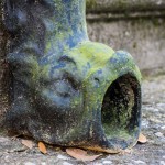
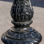
- Fish downspout
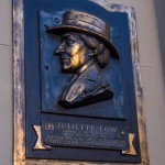
- Founder of the Girl Scouts, Juliette Low
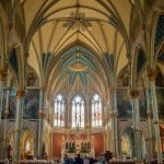
Cathedral of St. John the Baptist
Telfair Museum
We particularly enjoyed the interactive art at this museum. See 2 videos below.
- Start of the Art exhibit
- Interactive art (see video below)
- Medical Imaging?
- Especially for Claire
Interactive art with Colin, Savannah’s Telfair Museum (below)
Kinetic art that makes sound with background photography. Savannah’s Telfair Museum (below).
Click on map below to see larger version
Downtown Savannah, Georgia

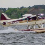
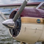
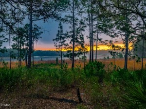 We parked at Clearwater Lake in Ocala National Forest as a center from which to tour the Harris Lakes area. This fresh water lake is circled by a trail which we took by foot; then hopped over to Mt. Dora for some “cute town” time; took a canal boat ride through the Mt. Dora Canal; and then Colin ventured onto a Seaplane ride while I hid out safely in the RV.
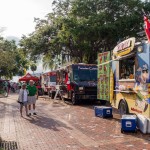
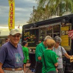
 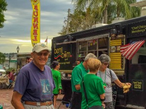 Mt. Dora and Eustis were in full spring bloom and the weather was a lovely break from the hot weather and bugs further south. A fun event in Mt. Dora was “Van Night” where many of the local restaurants brought food for purchase. The town sets up a no-car zone and picnic tables for those who purchase food. What a funny idea, and a great evening to people watch.
Clearwater Lake
Mount Dora
- Van night
- Breakfast downtown
Eustis
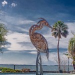
- Heron Sculpture, Eustis Lakefront
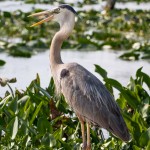
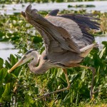
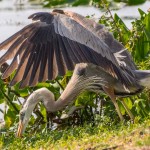
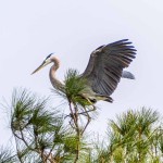
- Heron by the Art Museum
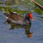
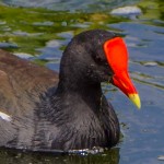
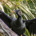
- Gallinule
Mount Dora Canal and Seaplane Ride
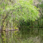
- Our canal ride
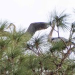
- Competition for the treetop
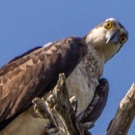
- Osprey
- Downtown Mt Dora
- Our van
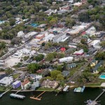
- Mount Dora canal from above
Click on map below to see larger version
Mount Dora, Florida

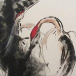 On our way South through Florida we happened on a beautiful Art Museum by the lake at Eustis with a mural of Sandhill Cranes by Kace Montgomery. We loved their elegance, their red caps and hoped we would see some live versions on our trip. While in Clearwater Lake in the Ocala National Forest, we heard a very strange call, but found it difficult to identify the bird. After much web searching, we found the sound to belong to a Sandhill Crane, however, still no sign of the bird itself.
Walking around Mount Dora, we drifted into an artists store and met and loved talking to Bev Neal. Her main focus has become limited edition custom artwork for bicycle jerseys but we commented on a picture of a Sandhill Crane.  She told us that there were several cranes in her community and shared with us how to find them. Although Colin was reluctant to take the long drive, Cheryl persevered and we drove to Leesburg, FL. where we found the community which had many lakes and wetland areas. After several hours with no sign of the birds, the light was beginning to fade so we were almost ready to give up. Luckily on the way out towards the gates, we spotted a crane in between the van and one of the lakes. It turned out to be a pair and they gave us a wonderful display rewarding our patience.
Click on map below to see larger version
Crane Lcation, Leesburg, FL


