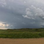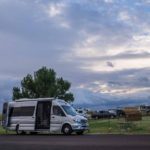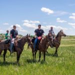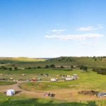

The Black Hills
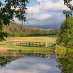
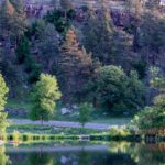
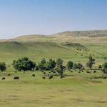
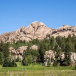
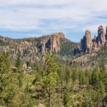
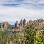
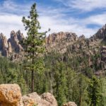
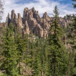
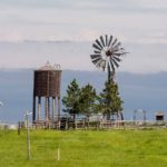
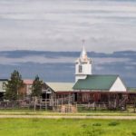
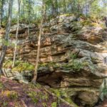
The Black Hills were named so by the Lakota Indians because the hills were so densely covered in pines and looked dark from a distance. The Black Hills are situated West of the vast expanse of plains in South Dakota. The area, occupied by the Lakota, was excluded from white settlement by treaty in 1868. However, all this changed when gold was discovered in the hills in 1874. The Lakota were pushed out of the area as the Black Hills Gold Rush resulted in a big onslaught of settlers, some of whom were moving from earlier gold rush sites in Colorado and Montana.
Deadwood
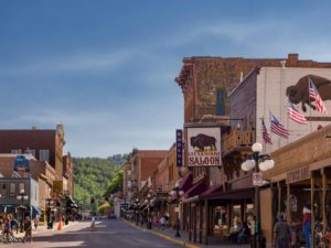
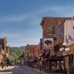
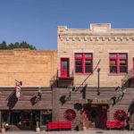
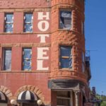
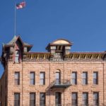
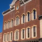
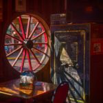
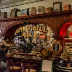
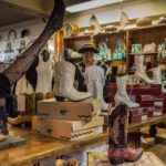
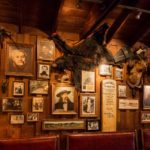
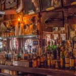
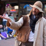
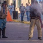
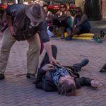
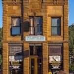
Founded immediately after the beginning of the Black Hills Gold Rush, Deadwood quickly grew into a lawless town of 5,000. This was the home of famous characters such as ‘Wild Bill’ Hickok and ‘Calamity’ Jane, and populated by mainly male gold pan handlers, saloons, opium dens, and brothels. Popularised by the TV series, Deadwood today takes advantage of its colorful past, preserving many of the names and locations, and staging shootouts for the benefit of tourists.
Click on any thumbnail below to see larger image gallery.
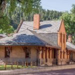
- Train Station
- Iron Gate
- Main Street
- Saloon Number 10
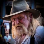
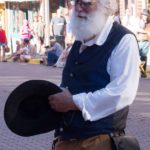
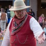
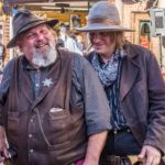
- Some Shady Characters
Click on map below to see larger version
Deadwood, South Dakota
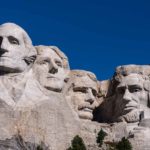
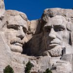
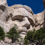
Mount Rushmore
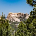
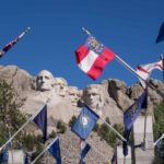
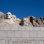
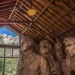
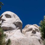
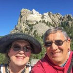
One of the most photographed places in the world, what’s to be said? It was a beautiful warm blue-skyed day. Our favorite photo shows the original model inside the artist studio with the actual sculpture through the window.
Click on any thumbnail below to see larger image gallery.
- Distant View from Iron Mountain
- Vision to Reality
- Visitor Center
Click on map below to see larger version
Mount Rushmore National Monument, South Dakota
Custer State Park, Crazy Horse, and Custer City
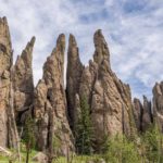
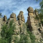
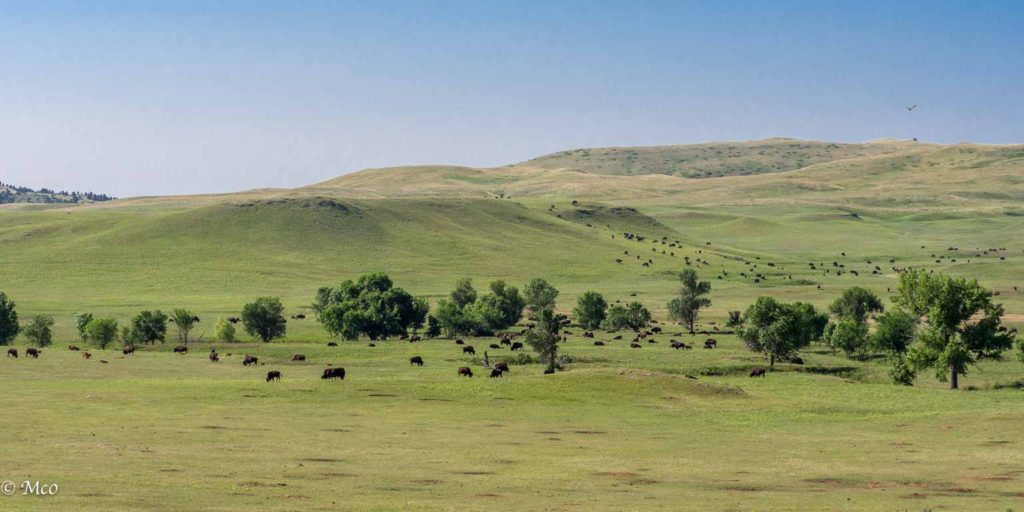 Custer State Park is very beautiful with rolling grasslands, grazing bison herds, and mountains of granite cliffs and pinnacles. In the 1930s, Peter Norbeck, a SD Governor, Senator, and naturalist, traveled throughout the park by horseback, laying out park facilities and roads, making sure people would come to enjoy the natural features and animals in the park. Norbeck also spearheaded the Congressional effort to raise financial support for Mt. Rushmore.
 We stayed in a campground with a lake by the Visitor Center. Just like this robin, Colin was an early bird hoping to catch the dawn light photographing the area around the campsite,
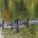
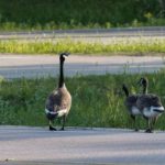
 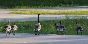 including a family of Canada Geese. They were so disgusted by Colin following them around the lake, that they walked across the road to the Visitor Center to complain.
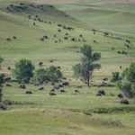
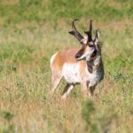
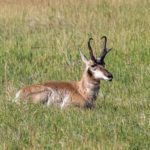
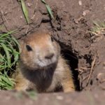
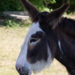
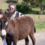
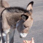
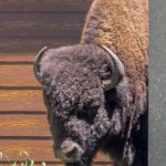
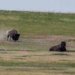
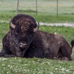
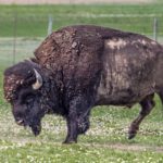
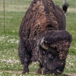
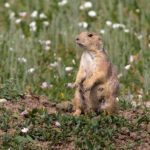
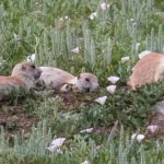
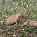
We toured the Wildlife Loop on our first day, seeing Pronghorn Antelopes, herds of Bison, Prairie Dogs and a group of ‘Begging Burros’ that demanded to be fed by passing cars. Cheryl was amused by the Pronghorn’s antlers which looks like musical clefs and by the antics of the Prairie Dogs. The Bison herd is managed and numbers over 1,300. We started calling them ‘raisins’; the hillside was so thick with dots it looked as if raisins had been sprinkled over them.
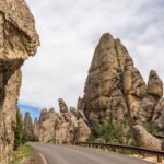
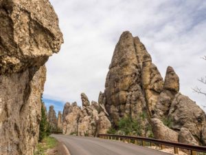 The second day we drove Needles Highway, a narrow road that wound its way through the granite pinnacles and long rock-hewn tunnels. The tunnels were only just big enough to accommodate us. One tunnel was listed as 10’7″ high against our ‘nominal’ (measured by Colin) 10′. See movie below.
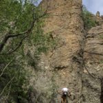
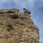
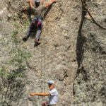
Colin went off to climb the Cathedral Spires trail while Cheryl found a narrow parking space along the road (the trailhead parking was full) and stayed in the van, working and catching up on emails. Not 10 minutes went by when, next to the van’s open door, 5 climbers appeared with equipment and rope. Cheryl had a front row seat to see how a group of climbers made their assent of one of the pinnacles. When Colin returned, the climbers were just packing up to drive to another location for another climb. What nerves and stamina they displayed.
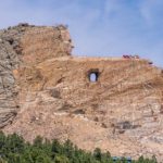
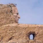
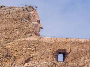 Next we visited Crazy Horse Monument and Museum. This is a project in mid-completion, the head of Crazy Horse is ten times as large as the Mt. Rushmore heads while the extended arm and horse are still yet to be completed. This mountain carving is only supported by private funds, no government funds have been asked for nor will it ever. It seems fitting that this mountain carving, honoring one of the most recognized iconic American Indian figures, should take its place in the Black Hills, not far from Mt. Rushmore.
Click on any thumbnail below to see larger image gallery.
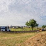
- View from the campground
- Family of Geese crossing the road
- Wildlife Loop
- Pronghorn Antelope
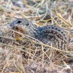
- Prairie Dog
- Begging Burros
- Who can resist a baby?
- Norbeck Visitor Center
- Bison looking for shade at the Visitor Center
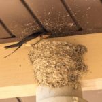
- Swallows nesting in the Center’s roof
- Needles Highway
- “Cheryl’s climbers”
- At the top of Cathedral Spires trail
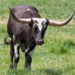
- Longhorn Steer
- Crazy Horse Monument
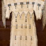
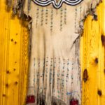
- Indian dresses made from Buffalo hide
- Custer City
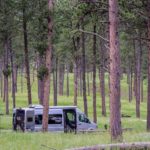
- Campground in the Black Hills National Forest
Click on map below to see larger version
Custer State Park, South Dakota
Traversing Needles Highway Tunnel

Along the Way
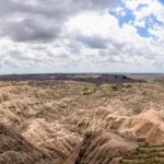
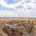
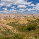
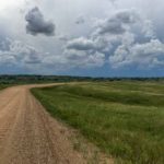
The Badlands of South Dakota were named so by the Lakota Indians because of the extreme temperatures, lack of water, and rugged terrain making them difficult to travel in or through. We had planned a day stop at a small campground in Salem, SD but, hearing of the heatwave forecast, we stayed an extra couple of days so we finally got to the Badlands, we could experience them without the extreme temperature. (We planned to stay in primitive campgrounds without the benefit of electrical hookups, which we need if we are running the AC for more than a few hours). In Salem, the temperatures rose to 103F during these two days, which gave our AC its first test and kept us cool. Eastern and Central South Dakota is flat farm country, lots of Biofuel plants now, as was our route through Minnesota from St. Paul. We kept ourselves entertained on the long straight roads by looking up information about the little communities we passed through. For example, the little town of ‘Norwood Young America’ processes virtually all the rebate, coupon, and marketing programs for US businesses. The town receives vast quantities of mail and has over 20 zip codes, including 55555. Strange, isn’t it?
Click on any thumbnail below to see larger image gallery.
- Farm Equipment for sale in Salem
- Rest stopoverlooking the Missouri River
- Iconic symbol of farm country
Badlands National Park
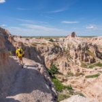
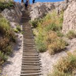
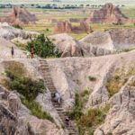
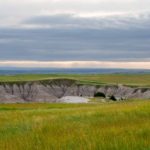
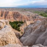
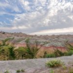
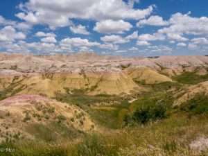 We spent our first day touring and hiking the area, staying in the Cedar Campground near the Park Entrance. The contrast between the rugged hills and the grasslands above was stunning. Colin hiked the ‘Notch’ trail up a canyon to the top of the ridge overlooking the valley, which included a ‘ladder’ and some challenging trails along the rock fac
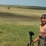
 e. Next, we traveled the Sage Rim Road, unpaved and shaky, to our next two day’s campsite, which we spent at the Sage Creek ‘primitive’ campground. This route gave us our first opportunity to see and photograph Bison which roam free in the park, stopping along the way to watch a Prairie Dog ‘settlement’.
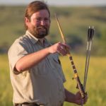
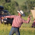
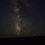
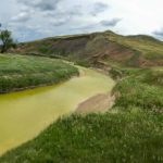
  We crossed Sage Creek, an amazing yellow-green color and found a spot in the ‘no fee’ campground before a storm blew in and soaked several campers pitching tents. The campground is a starting off point for Horseback Trekking as well as hiking. The last evening Colin climbed the hill for a view of the campsite and watched a Ranger talk about the Lakota’s hunting technique using an arrow launcher. After the moon set, he took some photos of the night sky through the clear air. The next day, we left very early for Rapid City and encountered some ‘pink fog’ in the morning light, as well as a Bison that exercised his right of way by crossing the road in front of us.
Click on any thumbnail below to see larger image gallery.
- Badlands
- Notch Trail
- Notch Trail ladder
- Cactus en route
- Cliff Swallows nesting
- Campsite at Cedar
- Campground Swallow nest
- Chipmunk transporting straw
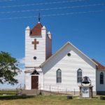
- Church at Interior, SD
- A new girlfriend?
- Prairie Dog on alert
- Sage Creek
- Storm approaching
- Campsite view
- Campsite view of storm
- Trail Riders
- Campground from above
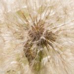
- Evening light through Dandelion
- Gathering for the Ranger’s Talk
- Lakota Arrow Launcher
- Having a go
- Stars and Milky Way from Sage Creek Wilderness
- Early Morning Fog
- Bison Right of Way
Click on map below to see larger version
Sage River Primitive Campground, Badlands NP, South Dakota

Canal Park, Duluth, MN
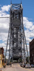
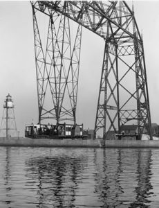
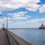
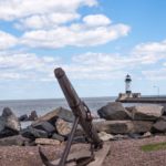
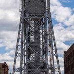
When they learned we were heading South from Lake Superior North Shore through Duluth to St. Paul, several of our friends encouraged us to visit the area around the Aerial Lift Bridge in Duluth including the Maritime Museum. The bridge, spanning the Duluth Ship Canal, was completed in 1930 replacing a 1905 aerial gondola system which transported cars and people across the canal.
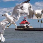
We were pleasantly surprised at what a happening place it was, renovated buildings and restaurants in the area. Like many other tourists and locals, we stayed in Canal Park to watch one of the bulk carriers complete its entrance into the canal (see movie below). Duluth is the biggest exporting port on Lake Superior supplying Eastern US cities with coal, corn and other bulk goods, bringing in more than $40M annually.
Click on any thumbnail below to see larger image gallery.
- Parking was easy
- Entrance from Lake Superior
- Seagull Frame
- Lift Bridge towers above the street
- American Mariner entering to load cargo
Click on map below to see larger version
Canal Park, Aerial Lift Bridge, Duluth MN
Como in St. Paul, MN
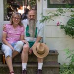
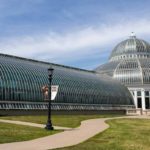
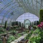
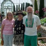
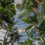
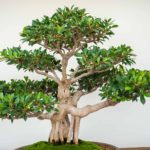
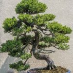
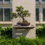
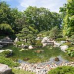
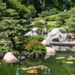
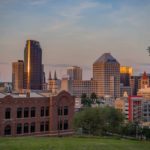
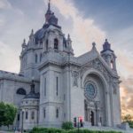
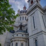
We made our way to St. Paul to visit Dick and Diane Hensold. Dick is a professional musician, world class Northumbrian piper, and Diane is a retired librarian. Colin met Dick at a Northumbrian Piping event and decided he wanted to take lessons from him. Dick needed some work on his website, so a barter bargain was made. Over the last few years, Dick has been to our home and out sailing on our boat while on tour on the east coast. Perhaps our neighbors remember seeing Dick doing his daily walk through our community? He’s pretty unique looking with his white, long beard, so you would remember him if you saw him! While at the Hensold’s home, Colin had a pipe lesson and then they played some music, checking out Dick’s new and unbroken-in chanter. Diane and Dick’s hospitality included a tour of St. Paul, a wonderful local restaurant, and an unforgettable walk through the Como Park Conservatory. Dick and Diane have been growing Bonsai and there was a special exhibit at the Como along with a gorgeous Japanese garden and tea house.
Click on any thumbnail below to see larger image gallery.
- Diane and Dick Hensold
- Como Arboretum
- Bonsai exhibit
- Japanese Garden
- Tea House
- Variegated lily pads
- Downtown St. Paul
- St. Paul Cathedral
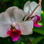
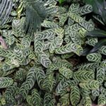
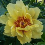
Conservatory Flowers. Click on any thumbnail below to see larger image gallery.
- Unique leaf
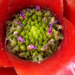
- Center of red bromeliad
- Interesting leaf pattern
- Abundance of roses at the Hensolds’ garden
Click on map below to see larger version
Como Park and Conservatory, St. Paul, MN

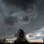
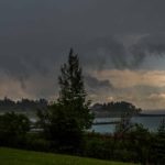
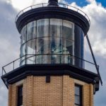
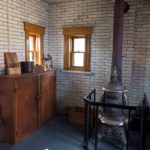
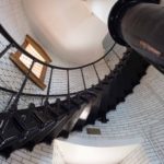
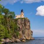
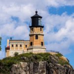
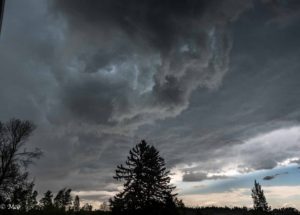 We left Bayfield, Wisconsin with a strong recommendation from our friends to travel up the North Shore of Lake Superior, from Duluth towards Thunder Bay. It was a beautiful drive along the shore. We waited out a thunderstorm in Two Harbors, visited Split Rock Lighthouse, and carried on up to Silver Bay where we were booked into Tettegouche State Park for a few nights. This is a beautiful park with many lakes and waterfalls and miles of hiking trails.
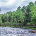
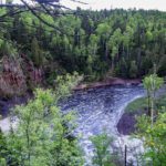
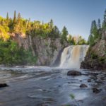
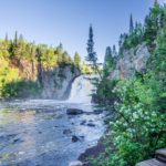
  It’s geared up for hikers, only one road which leads to the campground, everything else is to be explored on foot (or x-country skis / snowshoes during the winter). We arrived late afternoon and after dinner, I told Cheryl I was off to locate the trash containers by walking round the small campground loop. On the way I happened to see a trail sign: Two Step Falls: .1 mile, High Falls: .5 mile. Hard to resist even though it was getting late. It turned out the .1 mile was to the top of the falls and to see it required passage down a steep muddy trail followed by what seemed like hundreds of steps to the bottom. I made it down after a few slides and took a couple of pictures of the twin falls in full flood. A slower hike to the top and, out of breath, on to High Falls. Again the mileage didn’t do the hike justice, no mention of the vertical nature of the hike. High Falls, at 120 feet, is the highest waterfall in Minnesota and the trail arrives at the top with a bouncy bridge over the falls.
 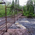 Crossing the bridge gave a clear view of the volume of water, and on the other side, the trail approaches the top before dropping down to the base. By this time it was getting quite dark, starting to rain. I had no water, no protective gear, no phone, slippery ‘Crocs’ for footwear, and no ID on me. I decided to return over the bridge and took a little more care than usual on the way back with my mind reading the newspaper report . . . “the victim had no ID” . . . “said he was going out to find the trash bin” . . . When I returned back at the campsite, our van was dark, and Cheryl was sleeping the sleep of innocence. Two days later, early in the morning, I returned, better prepared after my previous experience, hiked to the bottom of High Falls, and took pictures of both falls (see below).
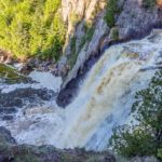
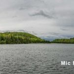
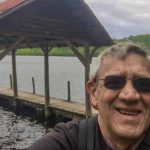
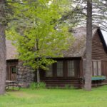
We noticed on the trail map, a lake named ‘Mic Mac’ Lake. Given the name of our boat, transferred to our van, this was a must-see. The lake was by a hike-in camp and cabin area. This time a nice, wide, though steep trail (described as ‘difficult, rugged’ by the Ranger noticing my advanced years) crossed a hill from the NW entrance of the park to the area. After the obligatory ‘selfie’ by the lake, I checked out the Lodge (open to all hikers) and cabins. Apparently this area is heavily booked throughout the year by hikers and skiers. There was a family occupying one of the cabins who told me the hike in wasn’t so easy when carrying supplies for a week.
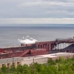
On our way back South, we drove up to the overlook at Silver Bay for a view of the lake and of the huge iron ore smelting plant,. This plant, “Cliff Northshore Mining” exports the majority of iron for the US steelmaking Industry using iron ore brought by rail from the Mesabi Iron Range, 47 miles South.
Click on any thumbnail below to see larger image gallery.
- Cornucopia on the way to Duluth
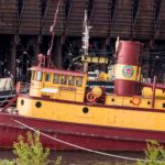
- Tug Edna G at Two Harbors
- Cloud face
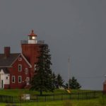
- Two Harbors Lighthouse
- Split Rock Lighthouse
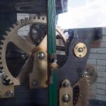
- Speed control for the mercury floated light mechanism still in operationn
- Split Rock Lighthouse
- Trail to High Falls
- Two Step Falls
- Bouncy trail bridge
- High falls at dawn
- Mic Mac Lake
- Arrival at the lake
- Lodge at Mic Mac Lake
- Lodge interior
- Water on tap
- Lake water color
- North Shore Mining operation
Click on map below to see larger version
North Shore Lake Superior, Tettegouche State Park

Apostle Islands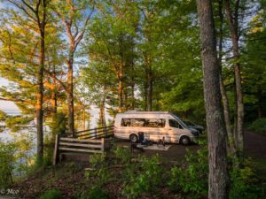
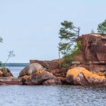
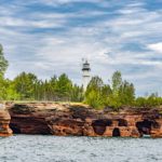
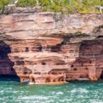
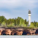
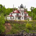
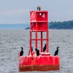
We found a great little City Park right above Bayfield overlooking Lake Superior. The weather didn’t cooperate for the few days we were there but we did manage to take a morning tour of the Apostle Islands before the rain set in. It was a long tour, we visited nearly every one of the 21 islands which comprise the Apostle Island National Lakeshore. We enjoyed the rock formations and views of some of the lighthouses but from the lake, there was a sameness about them. We felt that they were most probably best enjoyed when accessed by sailboat or kayak.
The Town of Bayfield
Prior to written history, legends have placed the Ojibwe (Chippewa) and others, including the Huron, Ottawa and Sioux, in this area. A turning point, after the European invasion, was that the Chequamegon Bay region was developed; in 1855, the “Soo” locks at Sault St. Marie opened, allowing for the first large ships to enter Lake Superior; and in 1883, the Chicago, St. Paul, Minneapolis, and Omaha Railroads finally steamed into Bayfield, carrying quarried rock and tourists.
“You’ve gotta try whitefish livers, it’s a specialty here.
We really thought locals were ‘pulling our leg’. Whitefish livers? Being the adventurer, Colin tried this dish and decided they were tastier than chicken livers! Cheryl was the eye-witness to this event. Walking off our meal, we strolled the town, and visiting homes that were in the local Garden Tour. A fun evening.
Click on any thumbnail below to see larger image gallery.
- Sunrise at our campsite
- Campsite overlooking Lake Superior
- Red copper water
- On the tour boat
- Devil’s Island
- Devil’s Island Lighthouse
- Devil’s Island Lighthouse
- On the tour boat
- Raspberry Island Lighthouse
- Cormorants on break
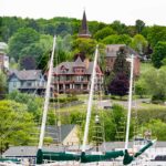
- Town from the waterfront
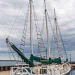
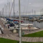
- Big sailing marina
- Whitefish livers, a Bayfield specialty
- He really is going to eat a whitefish liver!!!!!!!
- Flower tour
Click on map below to see larger version
Bayfield, Wisconsin, gateway to the Apostle Islands

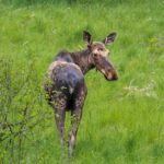
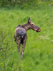 On our way to Copper Harbor, situated at the tip of the Keweenaw Peninsula in Michigan’s UP (after seeing our first moose this trip, see right) we were given a clue about the area when passing through Houghton. On the map it mentions Michigan Technological University and we expected something small in this remote area. We were surprised by the size and scope of the university until we discovered that this was the previous Michigan College of Mines founded in 1886 to support the mining operations in the area. It has grown well beyond its initial purpose as reflected by the extensive campus. Michigan was, for many years, the nation’s largest copper source, peaking in 1869 at 95% of the nation’s copper.
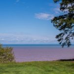
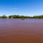
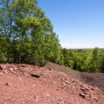
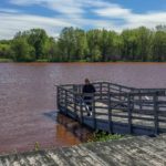
 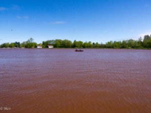 You can see the impact of the copper in the ground, in the rivers, (see left), beaches, rocks, and lakeshore. The color of ‘a dirty pink’ was everywhere.
We stayed in Fort Wilkins Historic State Park less than a mile East of the center of Copper Harbor. The Fort and Lighthouse were built in 1844 to keep an eye on the ‘Copper Rush,’ to aid navigation, ensure safe transit of copper out, and supplies coming in through Copper Harbor. Unfortunately the weather didn’t cooperate and we weren’t able to document the Fort, the town, nor the coastal drive to Eagle Harbor, all of which we enjoyed despite the rain. The rain did give us an impetus to go underground and this we did at the Delaware Copper Mine, 12 miles West of Copper Harbor.
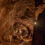
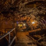
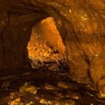
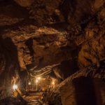
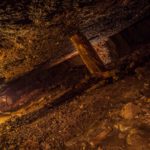
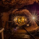
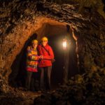
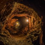
 The Delaware Copper Mine operated successfully between 1847 and 1887 when the supply was high enough and before quality ore ran out. It was restored and is now part of the Keweenaw National Historic Park. The mine operated on nine levels, the lower eight of which are now flooded but have been explored recently by divers. We took advantage of a brief break in the rain to stroll around the remains of the above ground operations. Then we embarked on our underground self-guided tour of level 9 which started with 100 steps down a staircase to the level of 9. We were the only two adventurers that day, so the quiet and darkness gave a spooky atmosphere. A trickling of water, our breathing, and our footsteps were the only sounds and a constant, damp temperature of 58 degrees made our exploration a cold one.
 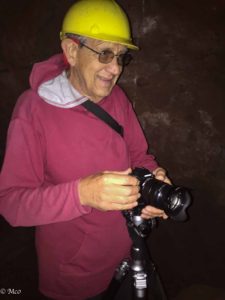 We made our way to the mine’s final working face, which seemed much longer than we expected, possibly over a mile. The last section was lit very dimly, reflecting the candlelight use by the 19th century miners. While Colin was taking pictures, Cheryl was reciting calming mantras. We were very surprised to see the rock detail and colors in the long exposure photographs, since while in the caves the lighting was so poor we barely could see the steps in front of us.
- Rolls Royce?
- Ore cart base
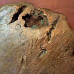
- Polished ore sample
- Excavated dirt
- How strong is that support?
- Mine selfie
- Putting on a brave face
- Copper colored river at L’Anse, MI
- Red copper water
Click on map below to see larger version
Copper Harbor on Michigan's Upper Peninsula

On Land
We stayed by Little Beaver Lake in a campground with 7 other sites, who were all under canvas. The road in was marked as unsuitable for large vehicles but although unpaved, hilly, and twisty, we have been on worse. Even though the main feature of the area is the 42 mile long lakeshore, there are many inland trails to explore, some leading to the shore, some leading to inland lakes and overlooks. Walking and hiking, we found many beautiful spots. The forests, rocks, waterfalls, and pathways were fun to explore as well as the beaches.
- Dawn at Little Beaver Lake
- Early Morning Hike
- Spray Falls
- So much wild ginger!
- Campground from Little Beave Lake
- A turtle?
- Cheryl in a ginger patch
- Rest stop
- Sunset at Little Beaver Lake
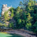
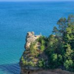
- Miner’s Castle
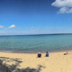
- Miner’s Beach
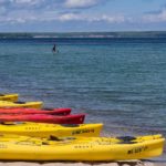
- Kayaks at Miner’s Beach
- Miner’s Falls
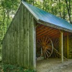
- Hut at Log Slide where loggers slid their logs over the cliffs for transport to SSM
- Sable Falls
- Storm approaching at Sand Point
- Campground outside Munising for our last night
- Sunset
- Dawn over the beach
By Boat

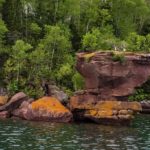
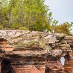
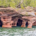
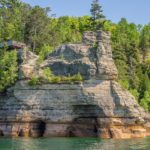
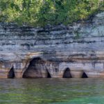
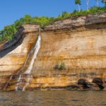
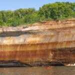
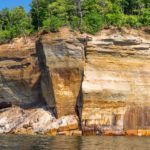
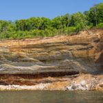
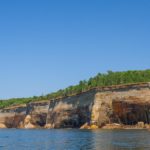
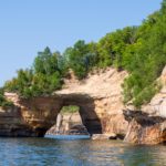
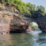
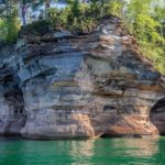
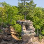
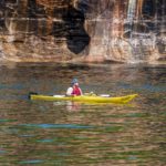
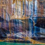
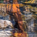
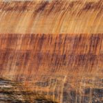
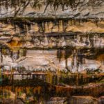
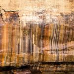
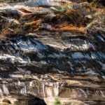
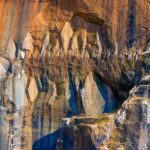
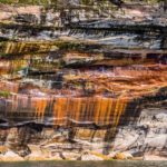
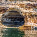
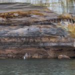
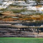
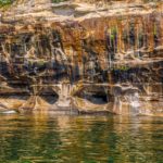
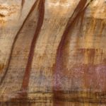
The best way to see the cliffs at Pictured Rocks is from the Lake so we took a boat tour out of Munising to Spray Falls and back. The cliffs are made from sandstone which are naturally a neutral color. However, sandstone is porous, and in this area, the water leaching through the rock is loaded with minerals such as iron, manganese, and copper. The color remains after evaporation and causes the variety of different ‘pictures’ on the rock faces. The rock is soft and so is constantly eroding forming caves and structures at the shore.
- Miner’s Castle
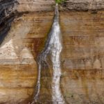
- Spray Falls
- Elephant’s Feet
- Tree roots reaching back to land
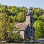
- Grand Island East Channel Light
- Cutest passenger
Abstract
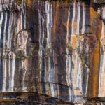
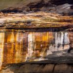
Enjoy some close-ups of the rocks and let your imagination find what you will.
- Reflections…
Click on map below to see larger version
Little Beaver Lake at Pictured Rocks National Lakeshore

 Sault Sainte Marie
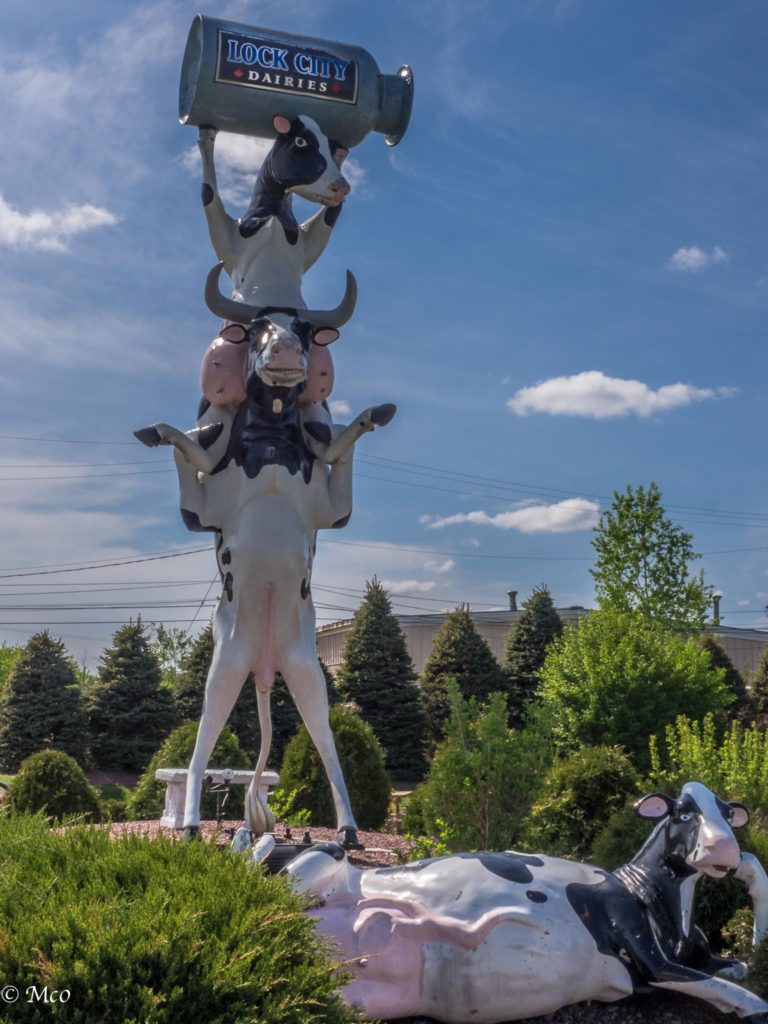 On our way back to the USA to travel along Lake Superior in Michigan’s Upper Peninsula, it was time for a laundry and haircut stop. We selected a two night camping spot East of SSM, Ontario (see name above), not sure what we would find. It turned out to be a perfect spot on the shore of Lake Huron, very popular area with SSM natives. The campground we selected (no electric/water, etc.) was deserted and beautiful. Our only negative was finding out (down the road) after filling up with water, they hadn’t flushed their water system after chlorinating it for the season. Fortunately we discovered this before washing our hair or we would be showing up as blondes. Most interesting stop in SSM (apart from the laundry) was Dock City Dairies Ice Cream Store.
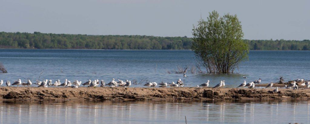 The beach had a flock of seagulls and Colin noticed a pair of what turned out to be terns having an amorous moment among the gulls. See slideshow below. One good tern deserves another.
Click on map below to see larger version
Ojibway Tent and Trailer Park, near Sault Sainte Marie

For Doggie Lovers Only!
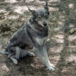
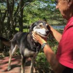
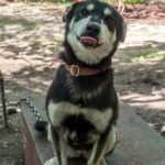
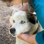
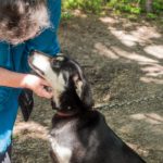
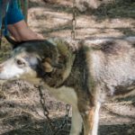
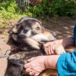
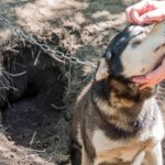
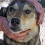
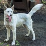
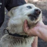
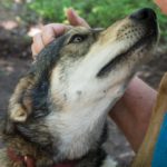
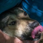
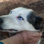
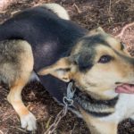
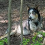
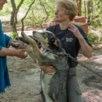
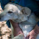
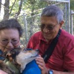
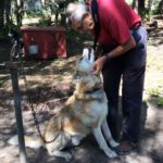
I saw the brochure at the welcome center and knew I had to have this particular adventure. Even with no snow on the ground, the brochure talked about tour visits. 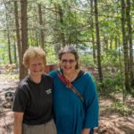 So I was game and it took little convincing for Colin to agree. The Husky Haven is owned by a woman, Kim Darst, who ran in the Iditarod race several times. She and dog handler, Jean, run the tours, usually to school children and groups of travelers. Colin and I were lucky enough to have a private tour of 43 Alaskan huskies and learn more about the Iditarod.
There is a controversy about training and using huskies for snow travel. It seems some think this is abuse. But to many who live in snow country a good portion of the year, it’s actually more reliable than snowmobiles. The huskies all ‘fight’ to be hooked up to the sled, and cry if they are left behind. Jean also told us that the pecking order actually changes after a race, as those that were on the trail have a new confidence that is evident when they return home.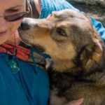
The Iditarod is a 1049-mile race, over a week long. The support teams are tremendous: multitudes of veterinarians, handlers, food/bed facilities, and supplies are located at every forced stop. The dogs cannot go back on the trail until the vet approves, so safety for the dogs is uppermost in this race. When Kim ran the Iditarod in 2009, she and a fellow racer were caught in a severe blizzard, unable to move because of the snow depth and one of her dogs became hypothermic. She set up camp, boiled water, and fed the team for more than 24 hours. A rescue team was eventually sent to find her after her beacon failed to move location. The rescue team that came to Kim’s aid stayed with the majority of the dogs to bring them back safely, while Kim and her injured pup took the snowmobile to the next vet station. Although she didn’t finish the race, her team was thrilled with the attempt and the distance she had covered.
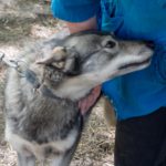
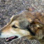
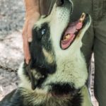
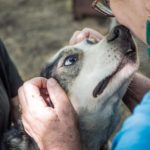
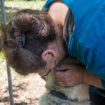
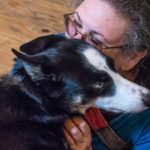
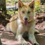 Maybe all of these pictures are not necessary. But it made me so happy to be introduced to each of the dogs, learn about their background and race capabilities, and spend time with each one hugging, pulling fur (it was spring after all and they were all shedding), and giving and getting ‘kisses’. The longer I stayed, the dirtier I became (as you can see in the pictures), but I didn’t mind. I was in Husky Haven heaven.

Koora relaxing with me
P.S. A couple of nights later: my habit at any campsite is to visit any neighboring dogs. On Thursday evening (6/2), I was introduced to sweet Koora, a rescue 4 year old blue heeler. I offered to baby sit while Koora’s human Mommy Jess and sister Serena went to dinner in town. It was such a delicious 90 minutes. Better than s’mores.
Click on any thumbnail below to see larger image gallery.
- Jean, dog handle
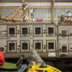
- Husky truck-mobile
- He’s a digger ( 3 ft. hole)
- Oh, those eyes!
- Owner’s cabin
- Iditerod vests
- Baby Sitting Koora
Click on map below to see larger version
Husky Haven, Singleton, MI

American Redstart
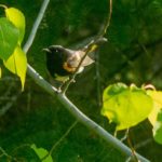
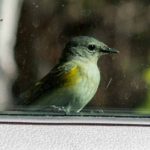
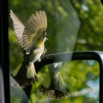
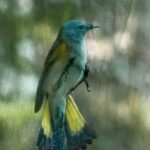
Two days in a row we were woken up by a light tapping noise moving up and down the side of our van. At first we thought of a woodpecker but the tapping was very light. We finally caught a glimpse of a pair of very small birds, one black with some orange on his shoulders and tail, and white underbelly and one more light colored with yellow in the fantail. They moved very quickly but eventually we were able to get a picture to help us identify it. Cheryl went to work on her two birding apps and Google to discover they were a pair of American Redstarts. The white underbelly and the fantail is what distinguishes the Redstarts from the Baltimore Oriole. The birds became a little bolder on the second day, sat on the wing mirror, looked at themselves and started pecking at our window screen that had captured some insects. We think the tapping noise was our van being ‘de-bugged’.
Click on any thumbnail below to see larger image gallery.
- Male Redstart
- Female
- Removing flies from our screen
Bald Eagle Nest
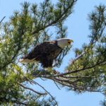
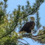
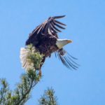
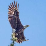
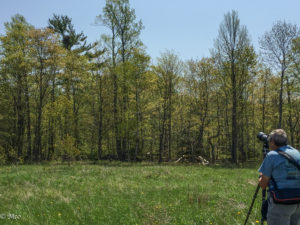 On our way off Manitoulin Island, we were taken to see a Bald Eagle nest on privately owned land. The location has been kept secret; this pair of Bald Eagles has been nesting here for seven years. The nest was only visible from over 200 yards away to see over smaller trees that surrounded it. Light direction and distance were difficult but Colin was able to capture some photos to share.
Click on any thumbnail below to see larger image gallery.
Click on map below to see larger version
Manitoulin Island
