
North to Oregon
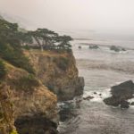
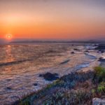
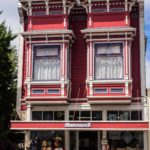
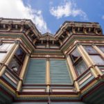
On our way from the LA area up to the Oregon border, we traveled most of the way on the Pacific Coast Highway (Route 1). When the coastal fog lifted, we had some beautiful ocean views. We also took a side trip or two, visited an ailing friend in Palo Alto and dropped in on the Apple Headquarters (we were only allowed in the store). We also visited Fortuna, a quaint ‘Victorian’ town South of Eureka. At San Simeon and Crescent City, we encountered some sea mammals (see below).
Click on any thumbnail below to see larger image gallery.
- Misty View
- Pacific Sunset
- Apple HQ entrance
- Apple Store
- Only the store was accessible
- Fortuna
- Crescent City Beach
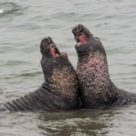
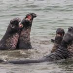
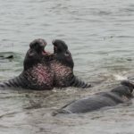
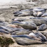
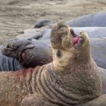
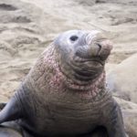
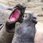
Elephant Seals near San Simeon
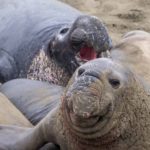
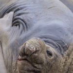
Elephant Seals are amazing creatures. We happened on Piedras Blancas beach, 4 miles North of Hearst Castle, where a colony of 23,000 elephant seals is based. They started coming to this area only in 1990. The males develop bulbous noses (hence the name) and grow to as much as 5,000 pounds, 16 feet long. Mature males spend 8-9 months a year at sea alone and 3-4 months on land in a close knit colony. On land, the seals eat and drink nothing. Much ‘jousting’ occurs as the growing males seek to dominate their male companions. At sea they feed continuously and dive up to 3,000 feet for periods of 30 minutes. One in three elephant seals is eaten by Orcas. There was a lot of jousting going on when we arrived, mostly in the water.
Click on any thumbnail below to see larger image gallery.
Sea Lions at Crescent City
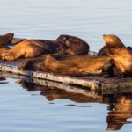
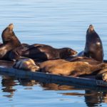
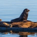
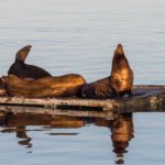
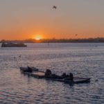
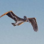
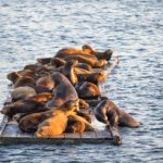
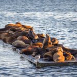
We arrived at Crescent City and found an RV park overlooking the beach where we spent a few days catching up with some work commitments and so that Cheryl could publish our monthly community magazine. As we were falling asleep I heard what I thought was a seal bark. Cheryl convinced me that it was a dog but the next day we found a colony of Sea Lions in the Harbor. I was reminded of the famous James Thurber Cartoon (link). It turns out that Seals are fairly quiet creatures as compared with Sea Lions that bark a lot. They were definitely Sea Lions (see movie below) also identifiable by their mini ears. There must have been fish around as there were several Pelicans cruising the same area.
Click on any thumbnail below to see larger image gallery.
Sea Lion Movie
Coastal Flowers
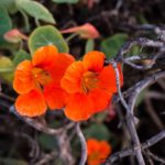
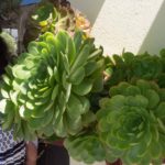
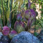
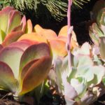
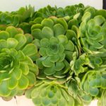
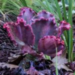
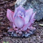
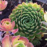
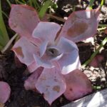
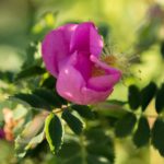
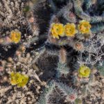
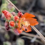
One of the truly beautiful things about cruising the coast of California is the quantity and quality of the perennial flowers and succulents. We particularly enjoyed the display outside the Succulent Cafe in Solvang.
Click on any thumbnail below to see larger image gallery.
- The State Calif Poppy
Click on map below to see larger version
Travels up the California Coast

Santa Rosa, Sonoma County
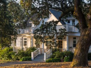 We were very happy to visit old friends from the days when Colin worked in Cupertino when his family was growing up. The Tembrocks’ children were similar ages and played together. We have many happy memories of staying with them in a cabin at Lake Tahoe and visiting their orchard in the town of Hollister. The Tembrocks now live in Santa Rosa, Sonoma Valley in a beautiful house they built on 10 acres which often houses some of their four children and 8 grandchildren when visiting. Judy has had a very successful career as a portrait and wedding photographer and Joe has planted a vinyard (English spelling) and sells 90% of his grapes to winemaking enthusiasts who come from afar when the Brix (sugar content) is just right for winemaking.
 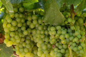 The remaining 10% is fermented, aged and bottled by Joe and I can vouch for its excellence, particularly the Petite Syrah.
We shared many stories, found that we still had much in common, and enjoyed meeting two of their grown-up children and three grandchildren. They fed, wined, and toured us around the area. We couldn’t have wished for a better weekend.
Click on any thumbnail below to see larger image gallery.
- Tembrock’s Home
- Joe’s Vinyard
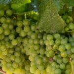
- Future Chardonnay
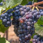
- Future Petite Sirah Wine
- Judy and Cheryl in the kitchen
- Dinner in Calistoga
- Red bark, Manzanita Bush
Coastal Redwoods
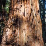
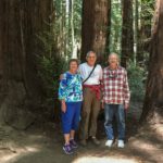
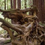
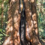
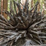
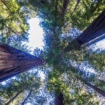
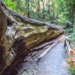
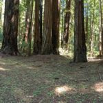
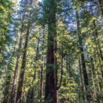
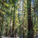
 The California Coastal Redwoods are amazing trees, growing upwards of 350 feet and can live for over 1,800 years, making them some of the oldest living things on earth. Their longevity is helped by the fact that they are fire resistant, can live after their heartwood has been severely damaged. We spent time in the Armstrong Redwoods State Natural Reserve with our friends. We camped overnight in the Richardson Grove State Park, near Benbow, and drove ‘The Avenue of the Giants’ parallel with SR101 up towards Eureka. It’s hard to capture the immense scale of these trees but here are a few photos we took.
Click on any thumbnail below to see larger image gallery.
- Judy, Colin and Joe
- Burnt out heartwood
- Big one down
- Avenue of the Giants
- Cheryl capturing the height of the coastal redwoods
- Petrified Forest fireplace
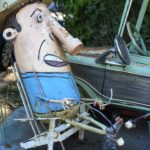
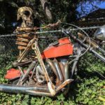
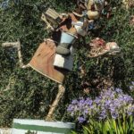
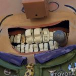
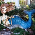
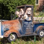
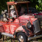
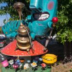
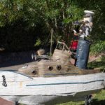
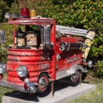
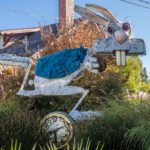
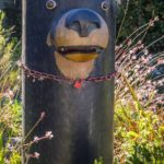
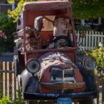
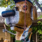
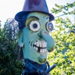
Junk Art in Sebastopol
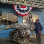
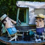
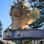
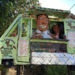
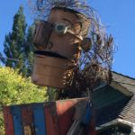
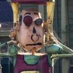
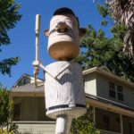
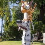
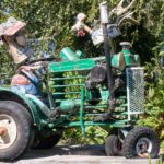
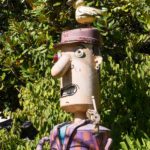
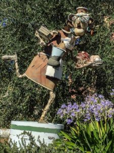 Cheryl has always been a fan of ‘Junk Art’ (definition: three-dimensional art made from discarded material). She was excited to learn from Judy that there was a street in Sebastopol in which every house had Junk Art in their front yard. We walked up and down and met the artist, Patrick Amiot, who supplies a piece with every home purchase and uses the street as his gallery. Some of the pieces are truly brilliant and humorous, the way everyday items are incorporated.
Click on any thumbnail below to see larger image gallery.
Click on map below to see larger version
Santa Rosa, California and Sonoma Valley

Heading south from the San Francisco Bay Area, we encountered the usual horrible auto traffic, 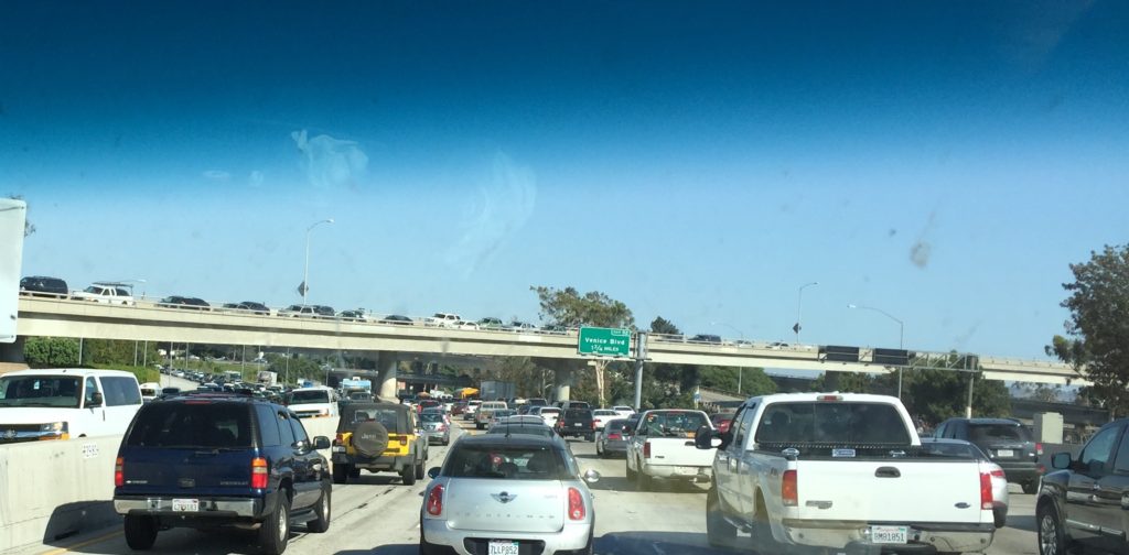 but eventually made it to Manhattan Beach, where brother Michael and sister-in-law Maggie (M&M) made us very welcome. M&M had just become grandparents for the first time,
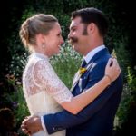
 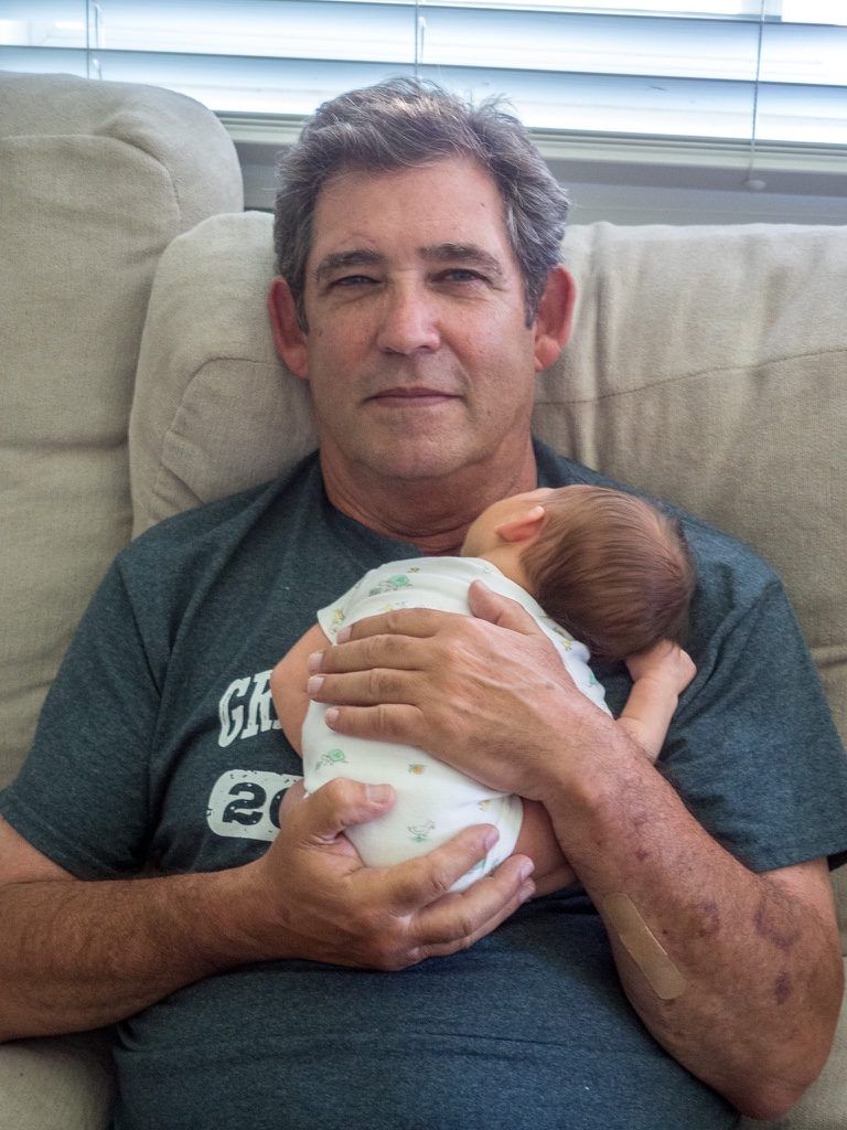 so we were naturally anxious to see the new little peanut. (Sorry, parents are anxious about putting the peanut’s face on the Internet, so all you will be seeing are peeks.) Before we knew about the baby, we had planned to be with M&M for Alex’s wedding, their 2nd son, to Jessica Lersch. So here are a few of the pictures from the rehearsal dinner and the wedding venue, in Camarillo, north of LA by an hour or so. Everything was magnificently done. Other than being hotter than !@#%, the ceremony couldn’t have been lovelier. With a degree in music and a background in performance, we shouldn’t have
 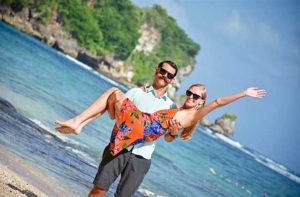 been surprised (but we were) when Alex brought out a guitar to sing his vows to his Jessica. It was a charming and unforgettable moment. The couple went off to Bali for some honeymooning after literally dancing the night away. Just in case you heard of the fires in Southern California, we weren’t affected other than seeing strange cloud formations.
Who’s Who
* Phil (Cheryl’s oldest brother) & Gayle: Daughters Sami (husband, John Sayas), Jerra (husband, Paddy Spence)
* Michael (Cheryl’s middle brother) & Maggie: Sons Josh (wife, Jess Como), Alex (wife, Jessica Lersch), Ben (ladyfriend, Eilse Napier)
* Richard (Cheryl’s youngest brother) & Sharon
Click on any thumbnail below to see larger image gallery.
- M&M, C&C
- with Michael
- with Maggie
- Manhattan Beach Pier
- Bride before wedding
- Michael, Phil, Cheryl, Richard
- Groom Alex, Phil, Richie
- Best buds
- Michael & Maggie
- Maggie & sisters Jane & Kathy
- Sami and John
- Richard peeking at Josh & Jess’s newest Tauber
- Newlyweds
- Ben & ladyfriend Eilse
- Nieces Sami & Jerra, and my sister-in-law (their mom) Gayle
- Proud Grandpa
- Grand Niece
Click on map below to see larger version
Manhattan Beach, California staying with brother Michael
La Jolla
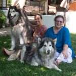
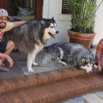
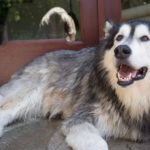
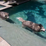
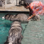
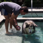
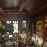
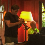
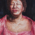
Brother Phil and Gayle invited us for a weekend in La Jolla, so we headed further south. While there, Sami and John brought their 2 Giant Malamutes, Merlin and Mya, over to P&G’s house for an impromptu swim party. The pool filter will never be the same! Also that weekend, P&G had organized a music party in our honor, and it was just terrific! Here are some pictures from the visit and a slice of Phil playing his trumpet with pianist Tom Barabas.
Malamute Gallery
- John & Sami
- Merlin
- Mya
An Afternoon Concert
- The unique den setting
- Phil at concert
- Ella Fitzgerald, painted by Gayle
- Frappuccino smile
Phil and Tom Barabas
Click on map below to see larger version
La Jolla, California staying with brother Phil

Meeting Old Friends
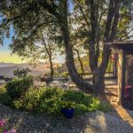
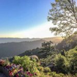
 Colin has very fond memories of the time when, as an ingenuous young Englishman, he first visited and lived in Northern California in the early ’70s. We stayed with Davey and Morag Paterson, with whom Colin worked at Measurex, in Cupertino. The Paterson’s live in a beautiful community in the Santa Cruz Mountains with views of the Bay Area to the East, and the Pacific to the West (pictured in the banner). While hosting us for a few days, they were gracious enough to invite some additional ex-Measurex people to meet us and, all of a sudden, we had a lovely party going, relating old stories, remembering old friends and fun times. Renewing friendships is one of the best presents life has to offer, especially when traveling.
Click on any thumbnail below to see larger image gallery.
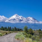
- Mount Shasta on our way to the Bay area
- With Morag and Davey
- Pacific view
- Four ex-Measurex employees: Davey, Beverly, Jerry, and Colin
- With the Patersons, Carol Bunker and John Higham
- California wildflowers
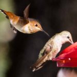
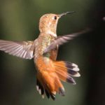
Humming Birds
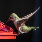
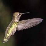
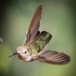
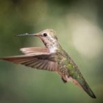
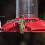
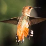
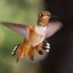
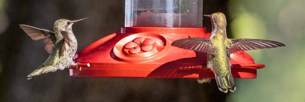 Whether it was the mountain air or the ‘special sugar’, the Paterson’s humming bird feeders were very well attended. It was great entertainment watching them vie for the best spots and having their fill of nectar. Pictured are two types of hummingbirds that we don’t have in the East, these are strictly West Coast hummers: Anna’s and Allen’s.
Click on any thumbnail below to see larger image gallery.
- Anna’s Humming Bird
- Allen’s Humming Bird
We hope you enjoy Cheryl’s ‘shadow-movie’ of all the activity.
Click on map below to see larger version
Las Cumbres Community, nr Skyline Drive, Los Gatos, California

Crater Lake National Park
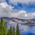
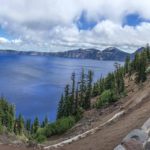
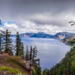
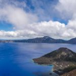
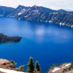
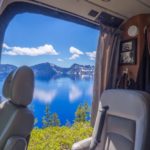
We planned to spend a day or two at Crater Lake National Park on the way South to California and entered the Park at the North end. It was a cloudy day but we were not prepared for the weather we encountered as we drove the West Rim to the top. Temperatures dropped below 40 (snow forecast), visibility 10 yards, and we couldn’t see much further than the precipice edge. At the top we encountered road resurfacing / rebuilding, and hardly saw the flagman enforcing one way traffic. Lake views were not likely so we carried on to Mazama village and were happy to get a ‘first come first served’ campsite there.
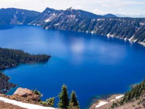
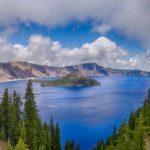
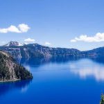
Crater Lake is an amazing geological formation. Like Yellowstone, it was formed as a ‘Caldera’ after a volcanic eruption emptied a huge void underground and the earth’s surface collapsed into it. It is a much smaller Caldera (6 miles in diameter compared with 40 miles) than Yellowstone. The Yellowstone Caldera was formed from three ‘super volcano’ eruptions, the most recent 630,000 years ago. However, the Crater Lake Caldera was formed only about 7,000 years ago when Mount Mazama erupted over several days and the earth collapsed into the void over only several hours. It’s very possible that the Klamath Native American tribe witnessed this phenomenon as there are tales of a cataclysmic event in their cultural history.
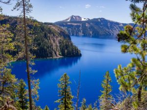 The crater cooled and has filled with rain and snowfall over several hundred years to the current depth of about 2,000 feet, containing some of the purest natural water in the world. This explains the amazing deep blue color of the lake with its aquamarine edges. There is no water outfall from the Lake. The lake bottom is still active volcanically and future eruptions are very possible.
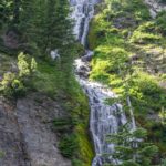
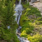
We ended up spending 4 nights, waiting for the storm to pass and eventually experienced a beautiful day when we drove the East Rim in two sections as the middle was closed for avalanche damage repair. Colin took one of the trails down from the rim to the lake shore and back and we visited Vidae Falls in the early evening.
Click on any thumbnail below to see larger image gallery.
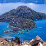
- Wizard Island from Rim Village
- Capturing the scenery
- Complete Crater view
- Wizard Island
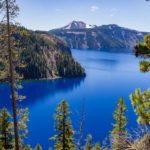
- View from Lake shoreline
- Typical lunchtime view
- Vidae Falls
- Annie Canyon S. of Park
- Perfect spot at Diamond Lake
Click on map below to see larger version
Mazama Village, Crater Lake National Park, OR

We decided to stop at Bend, Oregon on our way Southwest to California and spent most of our time at the High Desert Museum followed by a scenic tour over to the West side of the Cascade Mountains and back.
High Desert Museum
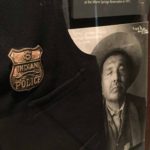
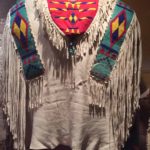
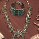
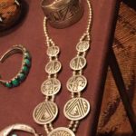
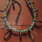
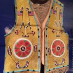
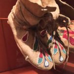
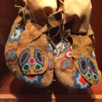
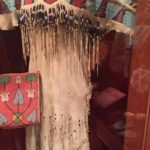
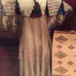
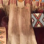
This is a privately run non-profit, well-appointed and maintained museum covering the wildlife and history of this area. We enjoyed meeting the Birds of Prey, Otters, and Cheryl particularly enjoyed the Indian Nations of the Columbia River Plateau exhibit.
Birds of Prey
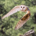
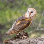
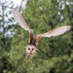
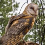
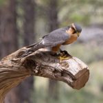
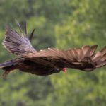
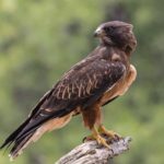
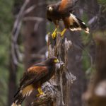
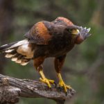
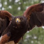
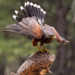
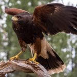
The birds of prey are not caged but are free to roam. All of them have a reason to be there, whether because of an injury or having been born in captivity. An easy source of food keeps them in the area and the demonstration we saw showed how they can be trained to show off their hunting skills.
Click on any thumbnail below to see larger image gallery.
- Barn Owl
- Falcon
- Pair of Harris’ Hawks
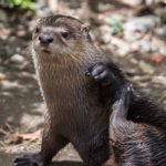
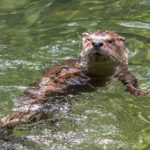
Otters
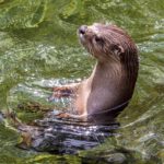
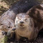
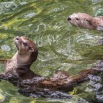
We found a pair of Otters living in a pool and waterfall area simulating the environment they would experience in the wild.
Click on any thumbnail below to see larger image gallery.
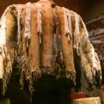
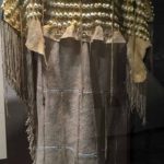
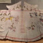
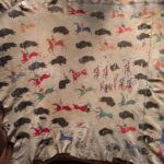
From Cheryl: My Love of Indian Art
The traditional clothing and jewelry were magnificent and amazing in detail. I just loved what the art represented, both the practical and the ornate. To think of the hours spent creating these pieces is mind boggling. But then, winter was an opportunity to create and tell family stories, passing along skills and history to the next generation.
Click on any thumbnail below to see larger image gallery.
- Chief’s jacket
- Going modern
- The law on the Reservation
- Medicine Man’s jacket
- Clothing tells a story
- Moccasin detail
- Bridal gown
- Another bridal gown
Cascade Mountains
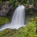
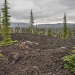
We took a ‘scenic tour’ in our van over the top of the Cascade Range NW of Bend via the town of Sisters to the West side of the mountains where we found Tumalo Falls. We then traveled back via the tortuous and narrow Old McKenzie Highway over the summit back to Sisters. The extent of (historically) recent volcanic remains we found as we traveled over the summit surprised us and it was interesting to see the trees and vegetation gradually reclaiming their environment.
Click on any thumbnail below to see larger image gallery.
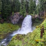
- Tumalo Falls
- Trees reclaiming their place in the environment
Click on map below to see larger version
Museum of the Hight Desert, Bend, Oregon

Alternative Routes 
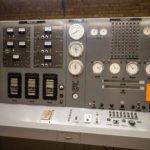
Leaving the Tetons with a date to spend July 4th weekend with Martha and Doug (Lane) Peterson in McCall, Idaho, we had only a couple of days to explore Southern Idaho. The Snake River Canyon and Shoshone Falls at Twin Falls was our planned stopover. As usual, we ignored our van’s GPS ‘fastest route’ and went for a longer, more interesting journey. We climbed out of Jackson Hole through the Teton Pass and dropped down to a cross country route through part of Idaho’s ‘High Desert’. We met a couple of surprises on the way. The route was straight and deserted for many miles until we started to see signs for ‘INL’ and ‘EBR1’. Our map was no help but we did notice a signpost to ‘Atomic City’ just to our left and a lot of power lines going towards ‘INL’ on our right. We pulled in to the ‘EBR1’ National Historical Landmark not knowing what to expect. It turned out to be the site of America’s first installation to produce electricity from Atomic Energy, known as Experimental Breeder Reactor 1. We had a fascinating tour of the installation, learning how this research installation first produced 200KW of electrical power in 1951. It is now a part of the Idaho National Laboratory – ‘INL’ (previously Argonne National Labs, which I would have recognized).
Click on any thumbnail below to see larger image gallery.
- Control Room
Craters
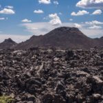
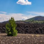
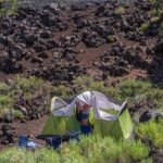
Not far down the road, we took a side trip to visit Craters of the Moon National Monument and were 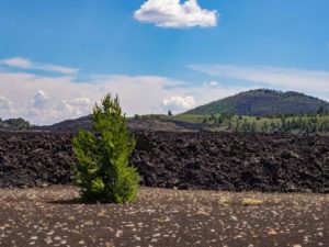 fascinated by the unusual black rocky landscape and the extent of the remains of over 60 solidified lava flows and 25 volcanic cones, most recently active only 2,000 years ago. It was very interesting to see how the area was gradually turning back to nature with trees and vegetation seeming to sprout out of the rocky areas. There is a campground there but Cheryl was a bit spooked by the odd-looking black rocky campsites so we traveled on to Twin Falls.
Click on any thumbnail below to see larger image gallery.
- Lava tube
- Nature taking over
- Campsite in the lava
Twin Falls 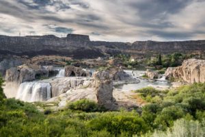
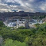
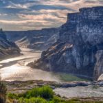
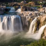
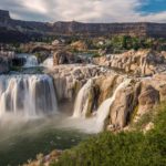
By far the most dramatic feature in Twin Falls is the Snake River Canyon that threads its way through the center of town with many accessible walking trails. At the head of this section, east of town, are the Shoshone Falls. The falls are 45 feet higher than Niagara Falls, flow is now restricted by the Idaho Power’s Shoshone Falls Dam. At its full flow, water spills over the whole horseshoe rock cliff. At reduced flows (see photos below and movie at the bottom) the flow splits into several waterfalls. In addition to generating power at the dam, water is also diverted upstream to irrigate ‘Magic Valley’.
Click on any thumbnail below to see larger image gallery.
- Shoshone Falls overview
- Snake River Canyon downstream
Click on map below to see larger version
Shoshone Falls, Snake River Canyon at Twin Falls, ID
McCall, Idaho July 4th 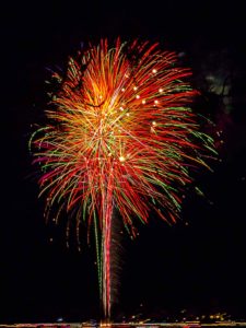
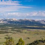
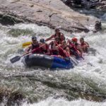
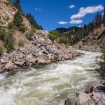
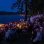
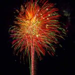
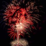
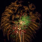
Following our usual practice, instead of the quickest route via Boise, we took a longer route to McCall, traveling North to Ketchum (near Sun Valley), North-West to Stanley and then followed the South Fork of the Payette River, a popular rafting area, to join the Boise-McCall road at Banks. We were rewarded with some magnificent mountain and valley scenery as we passed through the Sawtooth and Boise National Forests. We enjoyed our stay in McCall, watching fireworks over the lake on the 4th, and visiting ‘Charlie’s Garden’ (see next section below).
Click on any thumbnail below to see larger image gallery.
- First view, Sawtooth Mountains
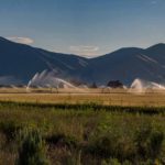
- Irrigating the valley
- Rafting fun on the South Fork, Payette River (not us)
- North Fork
- Father / Sun cuts
- McCall’s waterfront
- Colin setting up
- Pre-fireworks fun
Charlie’s Garden
Our friend Martha gave us a real treat by taking us to see ‘Charlie’s Garden’ in McCall, a beautifully 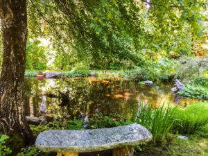 designed hillside garden by the lake just outside McCall. It took a while to find it, a very well kept secret now that the sign is no longer visible. Created by the famous landscape designer and plantsman, Charlie Davidson, it is maintained by his heirs and is ‘a quiet, tranquil perennial paradise in the mountains of Idaho’. As Colin wasn’t ‘carrying’ that morning, the pictures are all from Cheryl’s iPhone. Before taking off for Oregon the next morning, we returned to Boise on the 5th and met the rest of the family, including grandson Harrison.
Click on any thumbnail below to see larger image gallery.
- Charlie’s Garden
- Colin and Martha
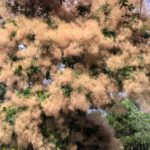
- An incredible Smoke tree in front of Martha and Doug’s home in Boise
- Doug and grandson, Harrison
Click on map below to see larger version
McCall, Idaho
Shoshone Falls Movie

The Teton Mountains
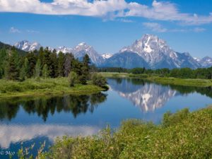
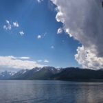
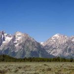
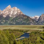
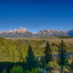
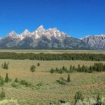
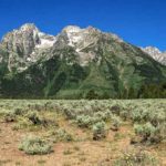
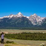
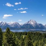
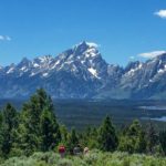
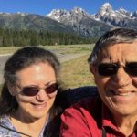
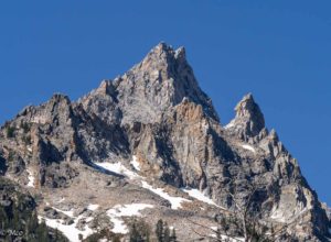
Driving from Yellowstone South to Grand Teton National Park, we were unprepared for the dramatic views of the Teton Range coming into view. As we drove into the park, the view was even more beautiful as the mountains appeared behind Jackson Lake. Grand Teton, at 13,775 feet, is the highest point of the 40 mile long Teton Range, and the second highest peak in Wyoming. The mountain is entirely within the Snake River drainage basin, which is feed by the several local creeks and the mountain’s glaciers. Grand Teton’s name is surrounded by controversy. It was first recorded as Mount Hayden in 1870 and then named by either a French-Canadian / Iroquois expedition as “large breast” (in French) or named after the Teton Sioux tribe of Native Americans. The snow-capped spiky mountains are visible from all areas of the park including the valley (Jackson Hole) and provide breathtaking views.
Exploring the Park
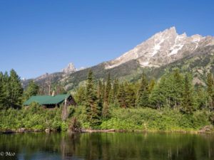
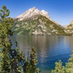
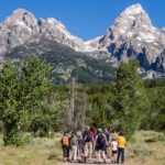
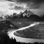
We stayed in Coulter Bay Campground which we used as a base for touring and trying to capture the beauty of the Park. Of note were: Jenny Lake; a tortuous climb up to the top of Signal Mountain for views across the valley and back to Jackson Lake; Snake River Overlook, site of Ansel Adams famous photograph from 1942, and many views over Jackson Hole with the Tetons as a backdrop.
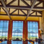
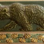
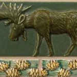
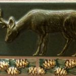
As a rare treat, we spent an evening dining at Jackson Lodge where we had a spectacular view and a fun waitress from Jamaica. It seems that so many ‘interns’ are from other countries, making their way through the summer months by working the national parks. Adrianna had an amazing head of hair, which Cheryl fell in love with, dyed purple in part. Not that Cheryl is going to start her hair off in dreadlocks anytime soon. At the lodge, everything had a moose or bear theme (see below).
Click on any thumbnail below to see larger image gallery.
- Grand Teton
- Teton Range behind Jackson Lake
- Jenny Lake
- Ranger Led Hike
- Snake River Overlook
- Snake River Overlook
- View from the top of Signal Mountain
- Alpine Lake
- Jackson Lodge
- Lodge bar (taken by our friendly barman)
- Adrianna’s sweet smile
- That gorgeous hair!
- Sampling a Bison appetizer
- Everything had a moose theme!
- Bathroom tiles, just for fun
- BaJust fun!
Inspiration Point and Cascade Canyon
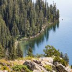
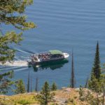
From Cheryl: The Grand Teton has a razor’s edge. But then all of the mountain range is nothing but sharp edges. The glaciers and snow caps in the middle of summer are impressive. One day, I had organized a surprise for Colin. I booked a boat ride for him across Jenny Lake to the trailhead accessing the Cascade Canyon trail, rising up the side of Grand Teton, for a photo and hike opportunity. After seeing Colin off early the next morning, I spent it mostly worrying that I had made a mistake given all the bear warnings about hiking alone in this area. In my mind’s eye, I kept hearing the inquest questioner: Why did you encourage him to take such a risk? However, he returned safely after hiking up to Hidden Falls, Inspiration Point and some way up Cascade Canyon, returning via an alternate trail back to the Lake. To ease my mind, taking advantage of the cell coverage improved by his elevation, he even sent back 2 ‘selfies’, one from Inspiration Point, the other in the returning boat. See photos below.
Click on any thumbnail below to see larger image gallery.
- Jenny Lake
- Above Hidden Falls
- Trail to Inspiration Point
- View from the top
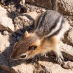
- This hamster was inspired, too
- Shuttle boat
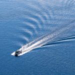
- Ripples
- Up the Cascade Canyon Trail
- Grand Teton from Canyon Trail
- Back onto Jenny Lake
Jackson, Wyoming
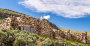
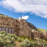
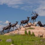
We spent a day in Jackson, famous access point for the Jackson Hole ski areas and the Park. Colin stopped for a haircut at a barbers which was also a bar (members only bottle club) which was something different. We visited the National Museum of Wildlife Art, just out of town, which was having two exhibitions. First an Ansel Adams exhibit showing photographs he took when on a trip to explore the Teton’s with two of the Roosevelt family, and his good friend, Georgia O’Keefe. He had given each of them a photo book, and these pages were displayed with his personal notes about the photos and the circumstances that surrounded his memory of the trip. Exquisite. Secondly, of particular interest to Colin, an exhibition ‘Yellowstone Then and Now’ showing photographs taken in 1871 by William Henry Jackson alongside photos taken in 2011-2014 by Bradley Boner, attempting to reproduce the exact same view with the latest camera equipment. The museum was built of stone into the hillside and surrounded by flowers and wildlife sculptures.
Click on any thumbnail below to see larger image gallery.
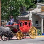
- Jackson Stage
- Law enforcement
- Putting the ‘bar’ in barber
- ‘Then and Now’ equipment
- Snake River overlook (1871) compare with photos above
- Contents of John Clymer’s original studio
- This Chipmunk appreciated the flowers, too
- National Museum of Wildlife Art
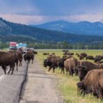
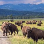
A Bison Traffic Jam
On our way home from Jackson Hole to our campground in the Teton’s, we were luck enough to be in the front of a traffic jam created by a herd of bison crossing the road.
Click on any thumbnail below to see larger image gallery.
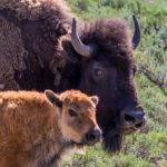
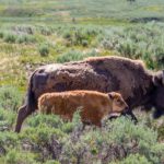
- Mother and baby
Click on map below to see larger version
Grand Teton National Park, Wyoming

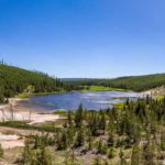
America’s first National park was created in 1872 and covers 3,500 square miles. The Yellowstone basin surrounded by mountains is really a Volcanic Crater or ‘Caldera’ created 640,000 years ago in an eruption when the land dropped 3,000 feet towards the magma chamber of molten rock below. The result is a an area of magnificent scenery with high peaks, canyons, waterfalls surrounding the central basin where herds of bison and elk roam freely around the 136 square mile Yellowstone Lake. The area is volcanically active with many Geysers, Hot Springs, etc. Eruptions have occurred 2.1 million years ago, 1.3 million years ago and 640,000 years ago. There will be a next one but geologists are unable to predict when. This doesn’t seem to bother the over 4 million visitors who explore the Park every year.
Scenery
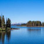
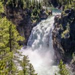
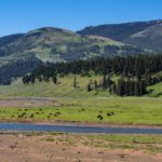
There is so much to see here, our four day visit was only enough to explore the easily accessible areas of the Park. No wonder everyone we know, every television show, every magazine article describes Yellowstone as a must see on everyone’s bucket list! The vastness of the area with mountains, rivers, lakes and canyons provide many amazing and much photographed views.
Click on any thumbnail below to see larger image gallery.
- Morning view from Fishing Bridge
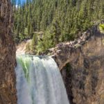
- Upper Yellowstone Falls
- Top of the Lower Yellowstone Falls
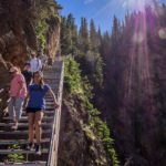
- Never-ending staircase to the base
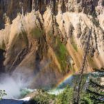
- Rainbow spray cloud
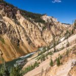
- Yellowstone Grand Canyon below the falls
- Swan Lake
- Bison roaming freely
- Overlooking Yellowstone Lake
- Old Faithful resting at Old Faithful
- Yellowstone’s most challenging pass. This road is version three, hopefully here to stay.
- Lodge fireplace
Wildlife
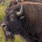
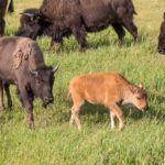
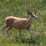
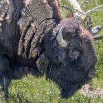
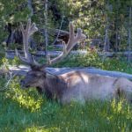
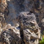
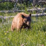
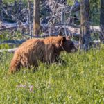
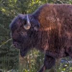
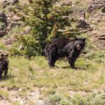
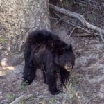
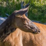
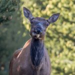
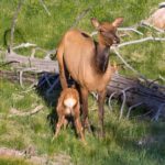
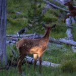
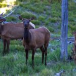
Wildlife is free to move through the park and so opportunities to see Bison and Elk abound. More rarely, Grizzly and Black Bears, Bighorn Sheep and Grey Wolves. Sport in Yellowstone consists of driving round the Park with binoculars and stopping when we spotted something. More frequently, stopping when we spotted a few other cars pulled over, particularly when tripods, telescopes and cameras were out. We optimized our opportunities by getting up early and staying out late when traffic was less and wildlife more active. In addition to seeing an abundance of Bison, we found a herd of Elk with their young feeding in the forest, a Grizzly, a Black Bear giving her cub tree-climbing instruction and some distant views of Bighorn Sheep and and even a Grey Wolf lair with pups (too far away to photograph). We loved the 30 minutes + spent in a traffic jam where a large herd of Bison crossed the main Park road from one grassy valley to another. Some were hesitant to join the traffic, between cars and trucks; others went across, threading through the stopped cars with aplomb. Since Bison are the largest mammals in North America, often weighing over 2,000 pounds, drivers were (usually) happy to stop and give way.
Click on any thumbnail below to see larger image gallery.
- Young bull elk just sprouting his ‘rack’
- Hello neighbor
- Bull Elk
- No daymarks here, but these rocks look safe for this Osprey and chicks
- Grizzly
- This is as close as we got to a group of Bighorn Sheep
- Female
- Daddy and calf
- Black Bear and cub
- Cub learning tree-climbing skills
- Watching the herd
- Do you mind? I’m eating.
- Getting some sustenance from Mom
- Evening sun on this baby Elk
- Alert to my presence?
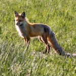
- Fox near our campground one morning
Geysers, Hot Springs, Mudpots and more
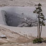
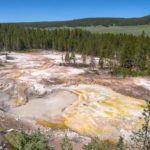
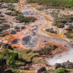
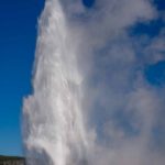
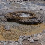
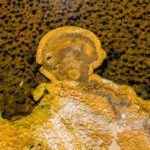
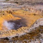
Throughout the Park, evidence of volcanic activity abounded. Okay they’re smelly, the air is ripe with sulfur. But the colors of the pools and fungus, the plop-plop of the mudpots spouting (see video at the end of this blog), and the steam coming from the earth all help to make this experience other-worldly. You really get the feeling you are on another planet. But no, it’s mother earth burping, farting, and expelling steam to show off all kinds of things that are happening below the surface.
Click on any thumbnail below to see larger image gallery.
- Huge mud pot
- Cauldron of steam and fungus
- More fungus
- Old Faithful
- Old Faithful resting at Old Faithful
Mudpots
Hot Spring
Old Faithful movie
Bull Elk walking through Yellowstone Falls parking lot
Click on map below to see larger version
Yellowstone National Park, Wyoming

Cody Wyoming
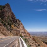 We left the Black Hills and traveled North West to the Bighorn Mountains climbed the over 9,000 ft pass and, despite all the warnings of steep grades, overheated brakes, etc. we took Rte14Alt down to the Bighorn River Basin – what a beautiful ride! Then West to Cody, the Eastern gateway town to Yellowstone National Park. Cody is named after William F Cody (better known as Buffalo Bill), who founded the town after seeing the Bighorn River Basin from the top of the Bighorn Mountain Pass. He realized its potential as a ranching center and was instrumental in irrigating the land from the Shoshone River flowing down from Yellowstone.
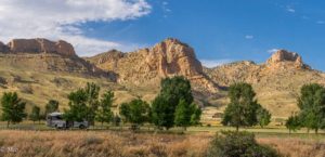
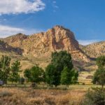
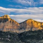
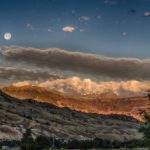
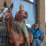
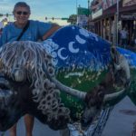
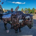
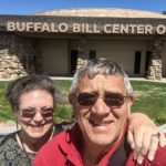
We stayed a few miles West of Cody in Buffalo Bill State Park by the side of the lake in the beautiful Shoshone River Valley with mountains towering over us on three sides. The mountains were breathtaking, particularly at sunrise with the sun hitting the top of the mountains while the moon was setting behind the Rocky Mountains in the distance. 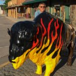 We used this as a base for exploring the town which had lots of entertainment, most with a Buffalo Bill theme. We enjoyed the many old buildings, bars, and the buffalo statues painted differently on each corner which reminded us of the chickens in Annapolis. We spent an afternoon at the Buffalo Bill Center of the West which houses 5 museums and surprised us with its extensiveness and quality (see below).
Click on any thumbnail below to see larger image gallery.
- Taking a brake cooling stop on the way down Hwy14ALT
- Campsite view at Buffalo Bill State Park
- Sunrise – Moonset
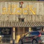
- Old western saloon
- John Wayne & Colin
- Colorful statues around town
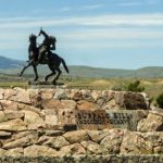
- Buffalo Bill Entrance to Museum
Rodeo!
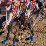
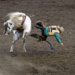
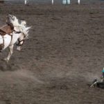
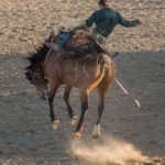
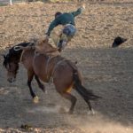
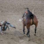
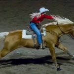
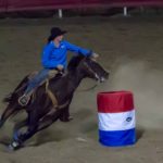
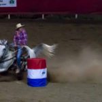
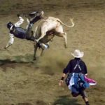
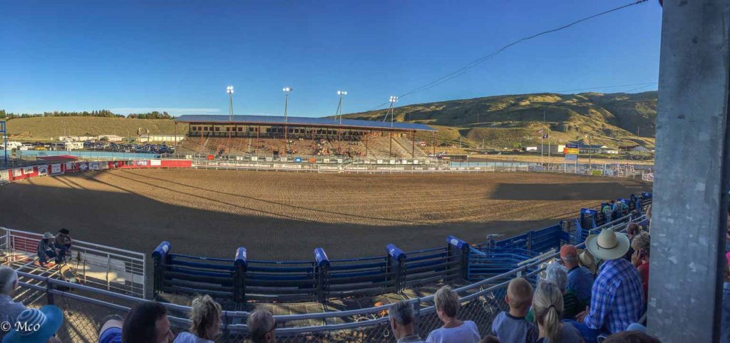 Cody calls itself the ‘Rodeo Capital of the World’. Neither of had experienced this type of entertainment before so, despite misgivings about the treatment of the animals, we signed up for the evening show. We loved the horsemanship, enjoyed the atmosphere and excitement, but came away thinking it would be our one and only, considering particularly the treatment of the bulls and calves. See the video located at the end of this blog which contains part of the opening horse and rider display.
Click on any thumbnail below to see larger image gallery.
- Opening display
- We rooted for the horse, always
- Ready
- Set
- Gone
- Waiting his turn (eye candy for the ladies)
- Calf roping
- Mostly they got away!
- Double trouble for the roundup
- Teenage participants
- Ladies turn around the barrels
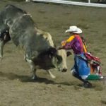
- Bull riding
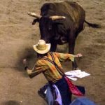
- Clowns job to keep bull from trampling the cowboy
- A little too close?
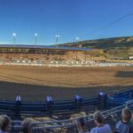
- Rodeo stadium. filled to capacity on our side, shade!
Buffalo Bill Center of the West
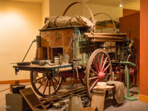
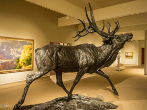 This is a ‘must see’. The center contains 5 museums covering Buffalo Bill; Natural History and the Greater Yellowstone area; Plains Indians; Firearms; and Western Art. The amount of history documented and artifacts was overwhelming, well worth a few hours exploring!
The story of Buffalo Bill is truly the story of the American entrepreneur; he did it all. Pony Express rider, fur and artifact trader, language interpreter, guide to covered wagon trains, guide for the US Army to bring in and feed troops by buffalo hunting, created a theatrical troupe of over 500 individuals of many nations, animals and costumes, traveling throughout the US and Europe.
It took us 3 hours to go through most of the halls at the museums. One thing, however, that struck both of us as missing, was any coverage of the destruction of the tribes and culture by the early settlers.
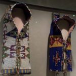
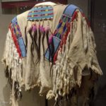
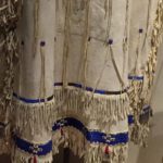
Cheryl was so impressed with the multiple statues by Remington (such exquisite detail) textiles and clothing created by the women, that it seemed she was snapping pictures ever few seconds! The evidence below.
Click on any thumbnail below to see larger image gallery.
- Gorgeous bead work
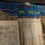
- Right, girl’s dress
- Man’s coat
- Ceremonial dress
- Little girl’s coat
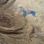
- Hide art
- Zoomed over horse and men
- Different horse hide art
- Baby carriers
- Mandela, good luck wall hanging
- War shirt
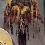
- Chief’s war bonnet
- Ceremonial shirt
- Ceremonial shirt
- Woman’s coat
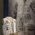
- Little boy’s vest and pants, original photo shown on right
- Ceremonial dress
- Intricate bead work
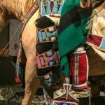
- Saddle and stirrup
- Zoomed stirrup area
- Typical home after Tepees were given up
- Bedroom
- Remington’s work studio
Rodeo Opening Equine Display
Click on map below to see larger version
Cody, Wyoming
