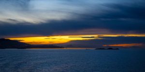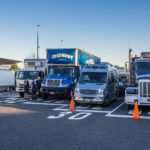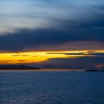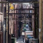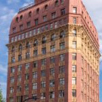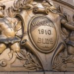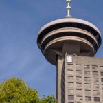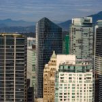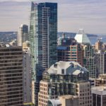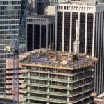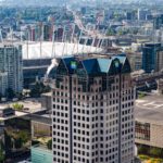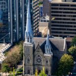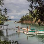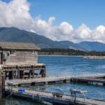

We start most big cities with a Hop On/Hope Off (HO/HO) tour with buses which have many stops at all the most frequented tourist spots. Vancouver’s HO/HO allowed us to explore Chinatown, downtown architecture and night life, Stanley Park, and the Vancouver Lookout tower. As Colin had mistakenly booked the wrong day for the ferry crossing, we ended up on the last ferry crossing from Vancouver Island to the BC mainland. We enjoyed watching the sunset over Vancouver Island from the stern on a calm peaceful evening. The next morning started rainy, inhibiting our photographic efforts.
Condos, Condos, Everywhere
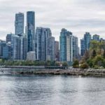
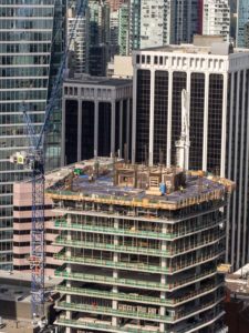 When Cheryl visited Vancouver in the early 70’s, the high-rise condo boom hadn’t yet taken place so the city center was smaller, more dramatically exposed to the surrounding water and mountains. So much outside investment in Vancouver made all the land prices skyrocket. More condos are being built even though there is only a 30% rental rate. The investors leave apartments empty rather than lowering the rental or resale price. And yet more and more high-rise condos are still being built. The tax base, which now includes an additional high tax to foreign purchasers, adds to the city’s coffers. But the city’s political structure doesn’t seem to want to control the development pace to maintain aesthetic value of their city.
Vancouver is Highly Ecologically Green
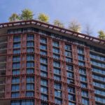
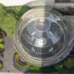
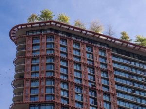 One of the most successful points about Vancouver’s new building craze, is that each building has to be built with a significant percentage of recyclable products used in construction;also the top of the building has to have green space (trees, bushes, flowers and/or vegetables); and the architectural plans have to set aside green space around the complex. This seemed, at least to us, a very wise regulation, somewhat mitigating the effect of the boom. It was fun to look up top of a building and see a forest of trees peeking out.
Stanley Park
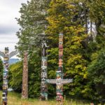
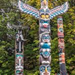
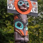
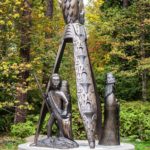
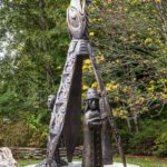
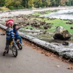
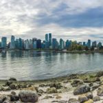
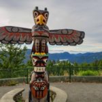
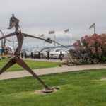
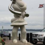
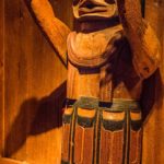
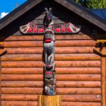
This large city park was amazingly situated with a harbor wall walkway and spectacular views of Vancouver. In the park, there were totem poles, art sculptures, and beautifully maintained gardens. A lovely place to lose yourself next to the city.
Click on any thumbnail below to see larger image gallery.
- Waiting for an available ferry place
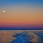
- Sunset over Vancouver Island
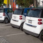
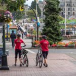
- Smart cars to go
- Chinatown alley
- Rooftop garden
- Vancouver Lookout
- Back in time
- Building everywhere
- Snare drum tower top
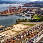
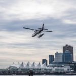
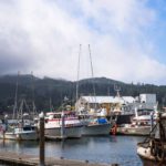
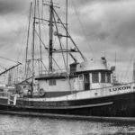
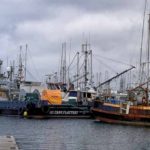
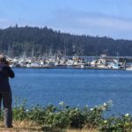
- Vancouver’s active Seaport
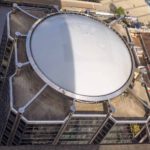
- White arena top can fold back if weather permits
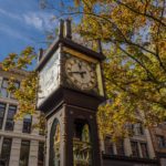
- Steam clock (see movie below)
- City Reflections
- In Stanley Park
- Interesting bodies
- Note eagle head
- Ubiquitous BC transport
- Find Colin?
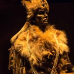
- Mohawk helmet
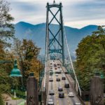
- Suspension bridge to North Vancouver
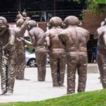
- Multiple sculptures of the artist
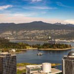
- Vancouver skyline
Steam Clock in Downtown Vancouver
Click on map below to see larger version
Vancouver City, British Columbia

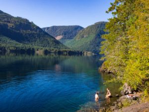 We were treated to more of the spectacular mountain , lake, and forest scenery on our way back from to the East Coast of Vancouver Island. We had decided to go further North to Campbell River and plan a whale watching trip. We had two campsites in mind and ended up in Elk Falls Provincial Park, very close to the town, but in a beautiful area by the Quinsam River.
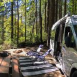
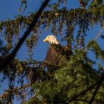
 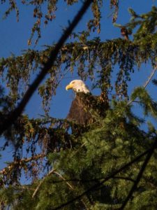 We selected a beautiful, spacious site with the river running at the edge, bald eagles and herons cruising up and down the river, fishing, and settled down to a ‘chill-out’ day. That evening, several black bears cruised up the river and we were notified by the ranger that a Cougar had been seen in the campground (no pictures, I’m afraid). We walked the river every day in hopes of seeing more and Colin spent a lot of time trying to get a close-up Eagle shot; several times, just to tease him, they flew very quickly a foot or two over his head.
Elk Falls
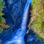
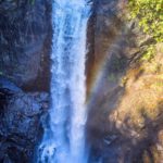
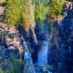
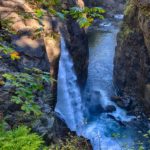
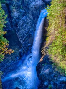 In addition to being a picturesque waterfall, Elk Falls is the site of a brand new Hydro Project. This will replace the 68 year old hydro-electric generating station, by siting a new station completely underground to improve reliability, beautify the area, and enhance the salmon habitat. At the moment, water is taken from the John Hart Lake and fed through three massive pipes all the way down to the generating station. These three overground pipes will be replaced by an underground tunnel to the new underground station.
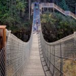
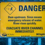
 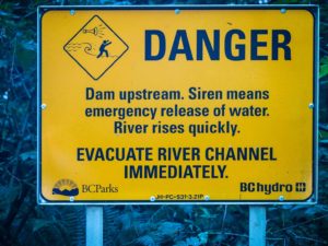 Colin hiked to the falls, saw the brand new suspension bridge overlooking the falls, hiked to the bottom and back up the many steep trails and steps and, as usual, took too many pictures. The notice about warnings of water level rise reminded Colin of the time as a young boy, before he learned to swim, being stranded with his brother in the middle of a rushing river in Scotland when a the local Hydro-Electric plant released additional water.
The Tyee Club
We planned our whale watching trip while eating the “Best Fish and Chips in Canada” at Ziggers (recommended by a local) overlooking the Campbell River. Colin noticed some strange behavior of a group of 30 or so identical-looking boats moving back and forth in slow motion over what looked like a windward-leeward sailboat race. However, there were no sails, only oars. It reminded Colin of Friday night Laser racing in light winds at West River Sailing Club. It turned out to be the British Columbia Tyee Club, a very serious, exclusive and prestigious organization. Membership is limited to those who catch a Tyee (Chinook Salmon) over 30 lbs using approved rod and tackle, from an approved boat, in the river off the clubhouse during an approved event!
Whale Watching
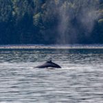
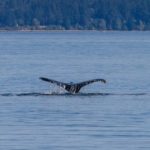
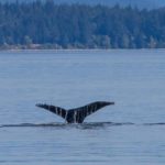
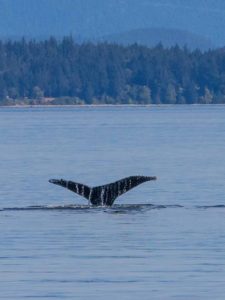 We took a six hour whale watching trip out of Campbell River. The naturalist on board lowered our expectations of seeing Orcas as the salmons were not as plentiful this year and the ‘seal eating’ Orcas were very difficult to see, hunting by stealth. We did see a large Humpback Whale off one of the many islands in the area. He was diving and breathing every four minutes so we spent some time in the area, wondering where he would show next. He obliged us by showing his tail several times (see movie below) and so was identified as Zorro, recognized by a “Z” shaped scar on the starboard side of his tail.
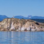
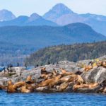
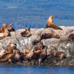
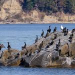
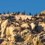
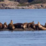
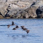
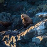
 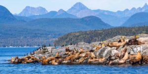 We spent the rest of trip touring around the Islands, enjoying the beauty of the strait on a perfect weather day. The cormorants, sealions and harbor seals were out in force, particularly at the Vivian Island Nature Preserve, and we recorded a movie of the wonderful noise of the sealions (below).
Click on any thumbnail below to see larger image gallery.
- A cool dip in the lake
- Chilling by the river
- Hard at work
- Pair looking for fish
- Elk Falls from the suspension bridge
- New suspension bridge
- On the suspension bridge
- Water level warning
- Art everywhere
- First Nation gallery
- Picture from Tyee Club website
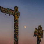
- Moonrise totem
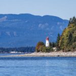
- Lighthouse on Quadra Island
- First blow
- Cheryl’s noggin’
- Boat tourist
- Stellar sealions
- Cormorants
- Oyster catchers
- local transport
- sunset – moonrise
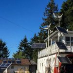
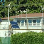
- Electricity by wind & sun
Zorro the Humpback Whale
Sealions on Vivian Island Nature Preserve

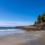
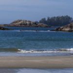
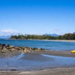
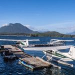
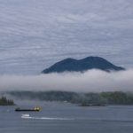
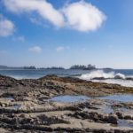
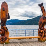
 Highway 4 leads right up to the First Street Dock in British Columbia’s Tofino, a hamlet where Clayoquot Sound meets the Pacific on Vancouver Island’s west coast. Getting that far takes a three hour drive into the mist, around hairpin curves, and through the Pacific Rim National Park Reserve to the ocean. The payoff is more than worth the journey: remote surfing beaches, humpback and gray whales, black bears and bald eagles, and old-growth rain forests home to some trees thought to be one to two thousand years old. When an ancient red cedar falls, Nuu-chah-nulth master carvers ask the tree for permission before giving it new life.
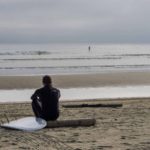
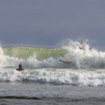
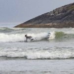
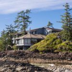
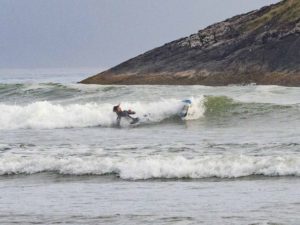
 As far as the town of Tofino, you know you are in a surfing haven when the local buses advertise “Surfboards Welcome!” There was a gale forecast on Saturday and we were hoping to see some serious wave action, so we booked lunch at the famous Wikaninnish Inn overlooking the rocky Pacific coast. Unfortunately the wind direction changed, sheltering the Tofino beach somewhat. However, despite that, we saw 40 or so surfers riding the waves, many having wipeouts.
Meet Markus
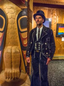
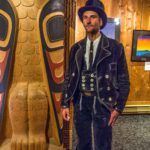
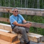
While visiting an art gallery in town, showcasing art, by Canadian First Nation Artist Roy Henry Vickers, our attention was drawn to a man in a very unique outfit. He stated that it was the uniform of the German Master Craftsman carpenters, a tradition that dates back to the Middle Ages. Today, there are over 500 “journeymen” currently plying their trade far from home; and as they travel these craftsmen gain experience for their trade, a journey known as the “Walz”. Markus will work for food and bed, and if you want something special created for your home (if it’s wood, he can do it!), send him an email at: ( nephilim.mw@freenet.de ).
Coincidences
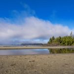
The beautiful beach at Tofino was the location of the infamous meet-up of two brothers with an amazing amount of coincidences with Colin’s life. Read about it here.
Click on any thumbnail below to see larger image gallery.
- Back to the 60s
- Gold sand
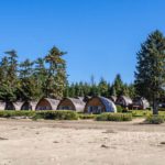
- Unique cabins
- Fun coincidences
- Busy harbor
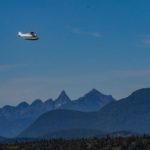
- Water airport
- Art everywhere
- Clayoquot Sound
- Dreaming of the Big One
- Wipeout
- Wickininnish Inn
- Waiting for an audience
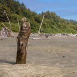
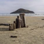
- Island & driftwood mushroom
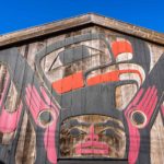
- First Nation art gallery
- Markus, Master Craftsman
- Now that’s something you don’t see everyday. Surfboards Welcome!
Click on map below to see larger version
On MacKenzie Beach, Tofino, Vancouver Island

Coincidences
Picture the scene. Yesterday’s rain is gone, it’s a beautiful morning. We are strolling along one of Tofino’s beautiful beaches at the Pacific Rim on Vancouver Island. Cheryl is chatting to an old surfer hippie about best places to live, mentions Arizona as she went to the U of A. His buddy arrives with two gallons of Bloody Mary’s, and he loses interest in us, but just then a couple walks by that he must have spoken to earlier. “They’re from Mesa Arizona” he says. Cheryl and the lady find that they were both born in the L.A. area, discuss briefly their time in Tucson, find they were there the same year (1970) but not in the same dorm. Colin picks up on a slight British accent of her husband, Paul, and (as usual) tries to guess where he is from. Finds out the following:
- Colin and Paul were both born in Newcastle-on-Tyne
- They both lived in Whitley Bay growing up
- They both traveled on the train every day from Whitley Bay to attend Newcastle’s Royal Grammar School (founded 1525) instead of attending school locally
- They both played in all three of the school orchestras
- They both became electrical engineers
We walked back along the beach with our new friends, Catherine and Paul, and met Paul’s brother Mark (who also attended the same school) and his wife Denise who live in Dunfermline near Edinburgh, Scotland. Later that night we all met up for a few beers and shared many schoolday stories together. To cap it off we entertained our wives with a less than perfect rendition of our (ridiculous) school song (words and movie below).
If we hadn’t met the old surfer… if Cheryl hadn’t mentioned Arizona… if I hadn’t picked up on his accent … we would have just strolled past each other without knowing the connection. How many near misses have we had without knowing? One of the greatest parts about traveling is not just the things you see, it’s the people you meet. We hope to drop in to Mesa, AZ on our way back through the southwest, later in the year.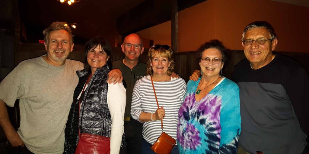
Written by J.B.Brodie, the song is no longer sung at the school
I believe John Cleese and fellow humourists once performed it on BBC TV
Horsley, a merchant venturer bold, Of good Northumbrian strain,
Founded our rule and built our school, In bluff King Harry’s reign,
Long shall his name old time defy, Like the castle grim that stands,
Four-square to ev’ry wind that blows, In our stormy northern lands.
Chorus: Fortiter defendit, fortiter defendit, fortiter defendit triumphans (triumphing by a brave defence)
Fortiter defendit, fortiter defendit, fortiter defendit triumphans
Many a name on the scroll of fame, Is the heritage of our land,
Collingwood, Armstrong, Eldon and Bourne, Akenside, Stowell and Brand,
Strong in their wisdom, wise in their strength, Wielders of sword and of pen,
Far fared they forth from the school of the north, That mother and maker of men.
(Chorus)
God speed the school on the shores of the Tyne, That has stood for centuries four,
Bright may the star of her glory shine, Bright as in days of yore,
Pray, too, that we may worthy be, To tread where our fathers trod,
Bravely to fight for truth and right, For Motherland, King and God.
(Chorus)
Royal Grammar School, Newcastle, school song, murdered by three ‘Old Novocastrians’.
Click on map below to see larger version
On MacKenzie Beach, Tofino, Vancouver Island

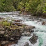
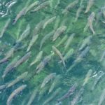
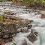
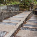
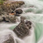
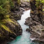
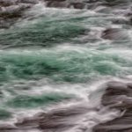
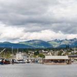
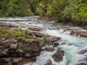 We decided to break our journey from Victoria to the mid-island Pacific Coast at Port Alberni. This city, although nearer the island’s East coast, is a deep water port sitting on the Alberni Inlet estuary’ which stretches all the way to the Pacific. Local industries of logging, papermaking and fishing are giving way to more tourist-driven activities. We were encouraged to visit Stamp Falls Provincial Park where we found the salmon making their annual run up to their spawning grounds upstream. Over 40 million fish, mainly salmon, traverse this area every year. Recognizing the importance of the salmon fishing industry, both commercial and recreational, the Canadian Department of Fisheries and Oceans has built a ‘fish ladder’ route to make the passage upstream easier, particularly when water levels are low. The fish ladder resembles a zig-zag hiking trail up the side of a mountain, making the grade easier for the upstream battle.
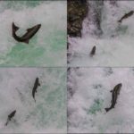
 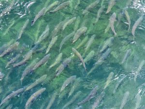 We were fascinated, not only by the quantity of fish making their way up the ladder, but by the scene below the falls, reminding us of the San Diego Freeway in LA. Some salmon did not find the ‘easy way’ up but were attempting the leap up the steepest area of the falls (see movie below).
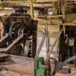
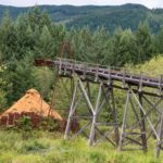
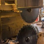
Nearby, we visited McLean Sawmill which operated commercially between 1926 to 1965. More recently, thanks to support from a local Paper-making Company, it has been put back into working order and is now the only steam driven mill in Canada, operating commercially two days a week providing cut boards for local use. The Mill was closed for the season when we visited so we gave ourselves a self-guided tour.
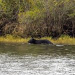
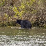
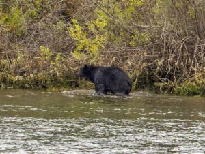 We heard local rumors of bears having been spotted fishing in the river off Victoria Quay in the middle of town so we decided to dine in our van there in hopes of seeing one. As the light was failing, Cheryl (always the eagle-eyed one) spotted a Black Bear wandering up the opposite river bank pausing occasionally for a dip and a bite in the river. Thanks to our highly developed ‘point and shoot’ system (Cheryl points, I shoot) we managed to get a couple of decent photos.
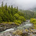
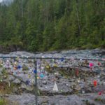
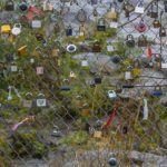
On our way from Port Alberni on the Pacific Rim Highway over the beautiful mountain pass to Ucluelet, we encountered an unusual phenomenon. Hundreds of padlocks and other items attached to a safety fence near one of the streams. 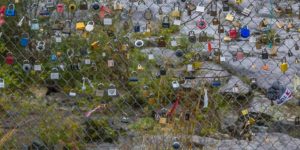 These are apparently known as ‘Lovelocks’, left by couples expressing their undying devotion to each other by attaching an engraved padlock to bridge railings and throwing the key away. Apparently this practice began in Paris, lovers attaching locks to the Pont des Arts. However, when the magnitude of the practice reached the point where part of the bridge railing collapsed under the weight of 45 tons of locks, they were removed by the Paris Authorities. This barrier has a way to go before collapsing.
Click on any thumbnail below to see larger image gallery.
- Typical BC scene, forests, mountains and lakes
- On the Totem Trail
- Stamp Falls, upstream
- Waiting their turn
- Trying the short way
- Part of the ‘fish ladder’
- Downstream of the falls
- Steam powered
- McLean Mill sawdust disposal
- The cutting edge
- At home in the wood
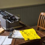
- Modern office machinery
- Employee dwelling
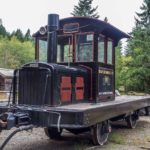
- Shunting Engine
- Port Alberni
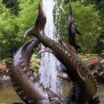
- Fish sculptures at the waterfront
- Swimming for dinner
- Snack break
- Stream on the Pacific Rim Road
- Love Locks
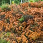
- Autumn orange ferns
Salmon moving upstream and attempting the waterfall jump
Click on map below to see larger version
Port Alberni, BC Canada

Warning: If you don’t like plant or flower pictures, give this post a miss. With permission.
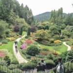
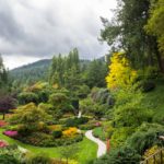
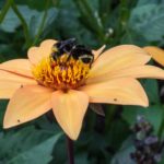
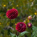
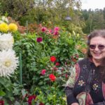
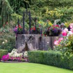
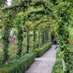
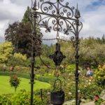
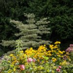
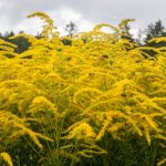
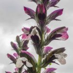
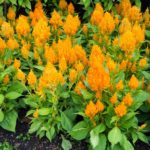
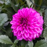
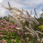
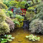
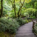
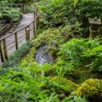
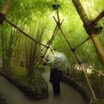
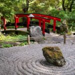
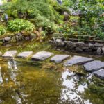
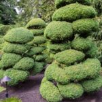
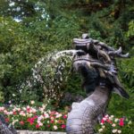
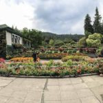
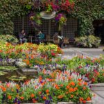
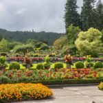
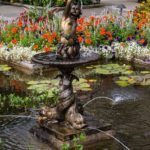
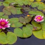
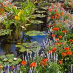
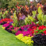
The Butchart Gardens (pronounced Boo-shar) were created in the early 1900s by Jennie Butchart. She wanted to create something beautiful, in particular, to replace the worked-out limestone quarry which had supplied her husband Robert Pim Butchart’s nearby Portland cement plant. This became the Sunken garden you see in the header photo. The gardens are  exquisitely cared for by a massive staff. There isn’t a spent flower or dry leaf anywhere. What makes the gardens so incredibly beautiful, is the size and number of flower displays. In the picture (above), notice the small, itty bitty people at the bottom corners of the picture. Then you get an idea of scale. The Italian gardens use to be a concrete tennis court (concrete, what else when you have unlimited amounts). Now the area is a gorgeous display, as if you were in a piazza, including a gelato stand. The Japanese garden was more than Zen and we found ourselves relaxing and breathing deeply just by being there. OK, the steep hills and stairs had something to do with the breathing deeply part. We enjoyed all of it, and remember, we only used a point and shoot camera. I point, Colin shoots (with such great results). The only photos I took were the panoramas.
Click on any thumbnail below to see larger image gallery.
- Sunken Gardens
- Face-size dahlia blooms
- Rose gardens
- Japanese Gardens
- Walking among bamboo
- Zen
- More Zen
- Rides to Rod Inlet
- Italian Gardens
- Bouquet displays
Click on map below to see larger version
Butchart Gardens, North of Victoria

Victoria and Sidney
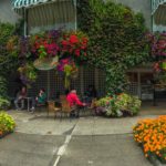
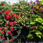
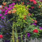
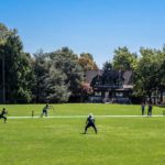
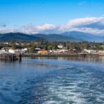
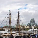
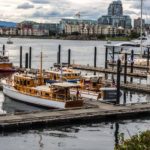
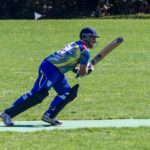
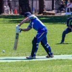
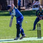
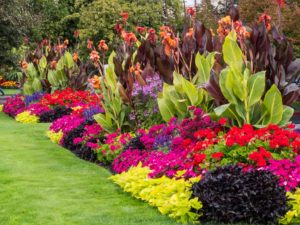 Victoria, reputed to be “more British than the British” didn’t disappoint. We used public transport to visit the city centre, we found a Highland Piper at the Harbor (see movie below), sailboat racing at the Royal Victoria Yacht Club, drank a real pint (imperial size) at a city centre pub, and to crown it all, we watched a cricket match between the University of Victoria and a team looking like a part of the British Empire at Beacon Hill Park. Our first impression, however, was made by the abundant floral decorations all over the city. We visited the Maritime Museum, learned more about Captain Cook and Captain Vancouver’s exploration of the Island and saw some original art by Jim Horton depicting some of the events of their voyage.
Colin noticed (when looking at the many scale models) that many of the ships put into service in the Pacific North-West were built by Swan Hunter from Newcastle, where he was born and which had a thriving shipbuilding industry until the 80’s. We visited the Royal British Columbia Museum which was having a ‘Wooly Mammoth’ exhibition and particularly enjoyed the Native American artwork there (see below).
We drove up the Saanich Peninsula, north of Victoria, to Sidney, where we looked around the town and harbour and stayed for a (very rainy) street market, purchasing some local smoked cheese and fig tart. We drove the South Island Pacific Loop to Port Renfrew on the Coast and back over the mountains via Duncan (see below). Last but not least, we visited Butchart Gardens (this will be its own future post).
Click on any thumbnail below to see larger image gallery.
- Leaving Port Angeles, Olympic NP
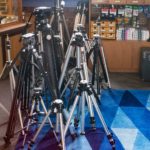
- Used tripods for sale!
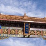
- Victoria’s Chinatown Gate
- Empress Hotel
- Downtown Harbor
- Woodies
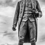
- Captain James Cook
- Victoria Police Dept on wheels
- After-work relaxation
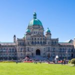
- British Columbia Provincial Government
- Cricket match at Beacon Park
- Stealing a run
- Defensive stroke
- Racing off Royal Victoria Yacht Club
- Impromptu performance
- Sidney Harbour (the other one)
- Artwork at Sidney Harbour
Royal BC Museum
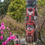
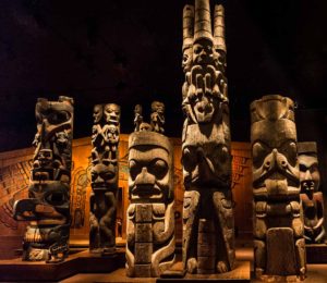
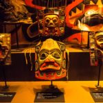
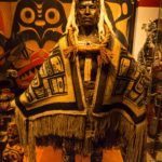
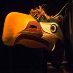
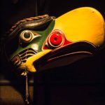
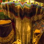
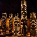
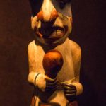
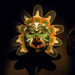
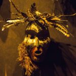
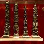
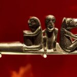
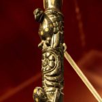
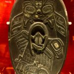
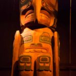
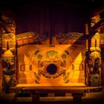
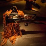
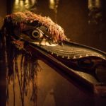
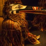
Situated in the downtown Victoria Harbour area, this is a world class museum covering many different topics. We combined visiting the special ‘Wooly Mammoth’ exhibit with an IMAX movie on the same subject. 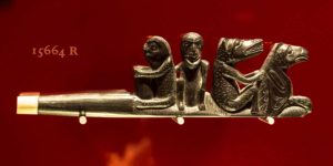 Our greatest pleasure, however, was in the First Peoples Galleries where we particularly enjoyed the face masks, totem poles and the amazing Haida Argillite Carving (argillite is black slate) showing some beautifully ornate carved pipes (both smoking and music kinds).
Click on any thumbnail below to see larger image gallery.
- Totem Gallery
- Haida Argillite Carving
- Pipe (smoking)
- Pipe (musical)
South Island Pacific Loop
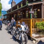
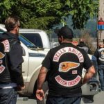
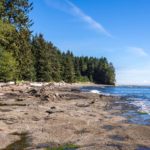
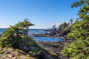 We spent another day away from Victoria to drive the ‘South Island Pacific Loop’ which took us first to Port Renfrew to visit the Botanical Beach Tidal Pools. Colin took a wrong turn and ended up in a Pub parking lot (no surprise there) surrounded by British Columbia Hells Angels. It was one of those easy-to-get-in hard-to-get-out spots. With a bit of audience participation, we squeezed into a spot between two cars and were treated to applause from the ‘Angels’ who were very interested in our ‘rig’. We stayed a while, enjoyed the view over the estuary and eventually found ‘Botanical Beach’ a steep hike down from a crowded parking lot. The Tidal Pools were a disappointment, not much marine life compared with the childhood trips to the lighthouse Colin used to take with his Dad. However the views of the coast and over the Juan de Fuca Strait back to Washington were magnificent. We carried on along the shore, and took the loop trail through the coastal forest, climbing back to our van, ready for a rest.
 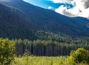 We continued the drive around the loop, which took us inland through the mountain pass, through a torrential rainstorm, over countless narrow one-way bridges, over the top and onto the East side where the rain stopped, and back to Victoria via Duncan. The views gave us a good feeling for the dramatic Mountain, Forest, and Lake scenery typical of Vancouver Island.
Click on any thumbnail below to see larger image gallery.
- Port Renfrew
- BC Angels
- Port Renfrew Estuary
- Tidal Pools
- View of Olympic NP across the Strait
- 20 more steps!
- South Island Mountains
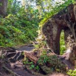
- Tree rebirth
This clip should show how much more of an exciting fast-paced game cricket is then baseball. So what if some of the games take up to five days.
Colin had a long chat with this Highland Piper (not the kind that Colin plays) ranging from how hard his reed was today, his demonic Pipe Major from Lewis (Outer Hebrides Island off the NW Coast of Scotland) and American Politics. He played this tune for Colin that started out as a Liverpool ditty and ended up morphing into ‘Scotland the Brave’.
Click on map below to see larger version
Victoria, Sidney, and Port Renfrew, Vancouver Island

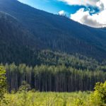
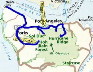
Olympic National Park occupies most of the Northern Section of the Olympic Peninsula, NW Washington State. The National Park covers Mount Olympus (6,900 feet) and the foothills and valleys surrounding it. Because of the high snowfall in the area, it supports seven glaciers which feed the rivers surrounding it. The park has only radial roads leading towards the mountain so to access the different areas, it is necessary to exit the park and drive to a different entrance.
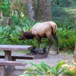
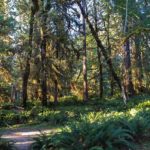
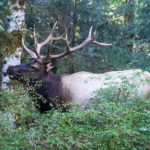
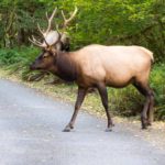
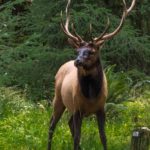
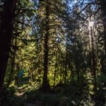
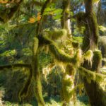
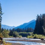
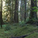
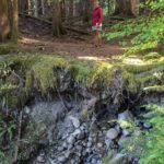
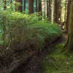
We first visited the Hoh Rain Forest area, one of the largest temperate rainforests in the US lying along the glacier-fed Hoh River, West (rainy side) of Mount Olympus. Annual rainfall can be as much as 24 feet (compare with so-called ‘rainy’ Manchester, England with 24 inches). We stayed three nights in a beautiful campsite which was invaded early in the morning by Elks snacking on the bushes.
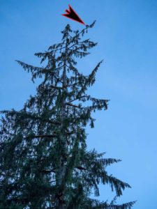
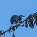
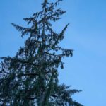
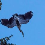
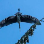
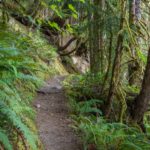
Cheryl spotted a Great Blue Heron at the very top of one of the pine trees next to the campsite. Colin walked a portion of the Hoh Valley Trail, the main access route to Mount Olympus, to get a sense of the forest and some views of the Hoh River. Despite being ‘temperate’, we experienced an unusual heatwave with temperatures in the 90s.
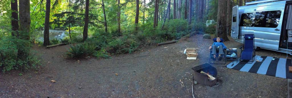
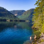
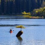
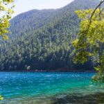
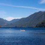
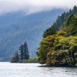
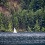
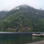
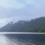
We moved on to Fairholme campground on the Western edge of Lake Crescent, a 12 mile long and 600 feet deep lake on the Northern edge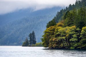 of the Park. The lake is surround by steep forested mountains and is a deep blue, tinged green at the edges, reflecting its high purity. We found it to be one of the most beautiful campsite areas we had ever visited, and ended up using it as our base for exploring the rest of the park, staying six nights.
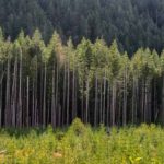
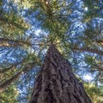
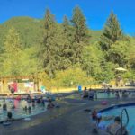
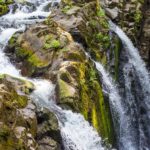
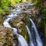
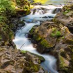
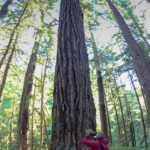
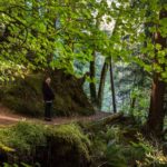
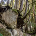
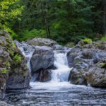
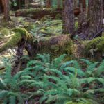
We explored the Sol Duc area, famous for its Hot Springs Lodge. This gave Cheryl a rare opportunity to enjoy a massage followed by soaking in the 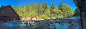 Hot Springs with Colin. Colin took the trail to Sol Duc Falls and spent some time photographing the falls, mostly waiting for breaks in the footbridge traffic so the bridge would stop shaking. We both enjoyed taking the Ancient Groves Nature Trail, seeing some of the oldest growth Sitka Spruce, Douglas Fir, and Western Hemlocks.
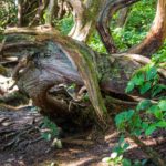
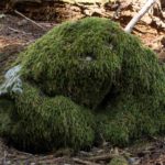
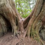
 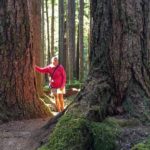 Cheryl enjoyed imagining the tree shapes to be living creatures (see below). Further down the road, we looked at the river area known as Salmon Cascades where, if the conditions are right, salmon can be seen jumping up the river returning to their spawning grounds.
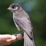
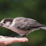
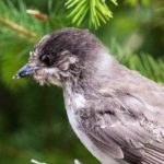
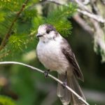
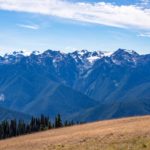
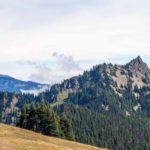
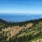
We drove the long route climb to Hurricane Ridge, to one of the few areas from which Mount Olympus can be viewed from the road. On the way up we encountered a flock of very tame Grey Jays which were quite happy to feed from human hands (see photos and movie below).
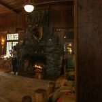
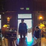
One rainy day we visited Lake Crescent Lodge (built in 1914) and kept ourselves warm by the fireplace in the lounge. When the rain dried up, we were able to watch and photograph the clouds clearing over the lake and mountains.
Click on any thumbnail below to see larger image gallery.
- Campsite at Hoh Rainforest
- Early Morning Snack
- Taking over the campsite
- Great fishing perch
- >200 feet above ground
- Hoh River Trail
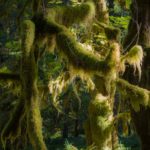
- Moss taking over
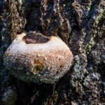
- Fresh fungus
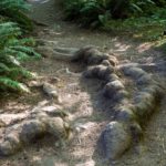
- Old roots under the trail
- Boot polish
- Hoh River
- Lake Crescent
- Crescent Lake – evening
- View from campsite
- Late evening dip
- Sunrise at the Lake
- Still snoozing?
- Sol Duc Hot Springs
- Sol Duc Falls
- Ancient Grove Trail
- New trees growing out of old
- Salmon Cascade (sans salmon)
- Tame Grey Jays
- Mount Olympus from Hurricane Ridge
- Hurricane Ridge Rim Trail
- Lake Crescent Lodge
- Lake Crescent – after the rain
- View from Lake Crescent Lodge
Imagination
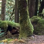
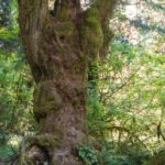
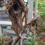
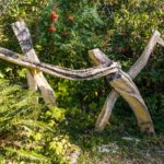
From Cheryl: Are you like me, in that you see beyond the normal tree and imagine animals and monsters? No wonder the ancients thought the forests were possessed of spirits. These, in particular, ‘spoke’ to me. Can you see what I see?
Click on any thumbnail below to see larger image gallery.
- Sesame Street’s big bird lying down
- Oscar?
- Dragon head?
- Hulk?
- Creative birdhouse
- Striding fence
Grey Jays at Hurricane Ridge
Click on map below to see larger version
Visiting Olympic National Park, WA

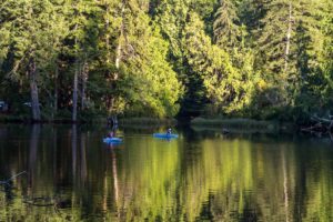 Neah Bay via Lake Sylvia
We planned to spend several days on the Olympic Peninsula, specifically the Olympic National Park as so many people had told us how much they enjoyed it. We scheduled a break after we crossed the extremely long bridge over the Columbia River Estuary at Astoria into Washington State. On this stop-over, we found Lake Sylvia State Park at Montesano, East of Aberdeen, where we spent a pleasant afternoon by the lake and on a loop trail around it. The next morning, on the way north, we met a National Park Ranger who insisted that we travel all the way to Cape Flattery and hike the trail out to the most north-westerly point of the Continental US. The ranger was so insistent in helping us plan this part of the trip; she had also recommended the Makah Indian Museum at Neah Bay, not far from the Cape. It was well worth the drive. We parked ourselves at 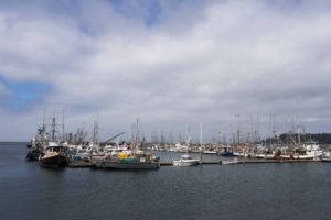 Neah Bay, a village with an extensive fishing fleet and visited the museum (where no photographs were allowed). It was very interesting and the exhibits displayed the life of the tribe through the seasons with some excellent reproductions of whaling canoes and a full size ‘Longhouse.’ The Longhouse was a central meeting place for the community and provided shelter in the winter and offered shade during the summer. The museum also documented the mudslide that destroyed the Makah village of Ozette in ~1560 and the archeological dig that took place starting in 1970 after tidal erosion revealed some of the structures. Many of the artifacts at the museum came from this site. Due to over-fishing, the fishing fleet was effectively ‘grounded’ for several days, so we didn’t see much activity in the harbor.
Click on any thumbnail below to see larger image gallery.
- Lake Sylvia
- Lake Sylvia
- Covered walkway on Lakeside Trail
- Part of our campsite
- Neah Bay, WA
- The fishing fleet
- Colin capturing the bay
Cape Flattery
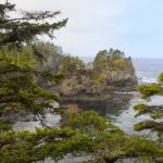
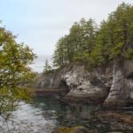
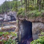
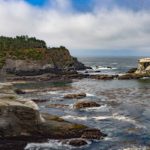
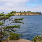
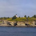
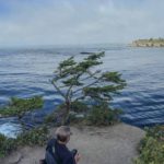
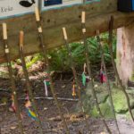
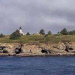
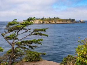 The next morning we drove to Cape Flattery and hiked the steep trail down to the point overlooking Tatoosh Island (named after Chief Tatoosh of the Makah Tribe). This is a truly beautiful spot with several overlooks including one with a view of the lighthouse on the Island. The trail is well maintained by the Makah Nation, who provide loaner walking sticks for the climb down and up (see below). The weather was misty, cloud ceiling low, so we took our time and tried to take advantage of the few sunny intermissions. The lighthouse was built in 1854 marking the southerly end of the entrance to the Strait of Juan de Fuca between the USA and Canada. It was decommissioned when a more modern solar-powered light structure was built in 2008 and the lighthouse is in the process of being turned over to the Makah Nation. British explorer Captain James Cook named Cape Flattery in 1778 when searching for a way from the Pacific to the Atlantic. However, he missed the Strait and ended up sailing up the west coast of Vancouver Island.
Click on any thumbnail below to see larger image gallery.
- Cape Flattery
- Deep cave
- Cape Flattery lighthouse
- Tatoosh Island
- Colin looking for the perfect angle
- Massive
- Loaner walking sticks
Map
Click on map below to see larger version
Cape Flattery, (Land's End) WA

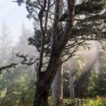
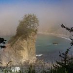
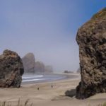
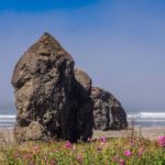
Oregon Coastline in the Mist
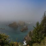
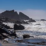
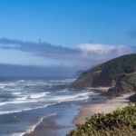
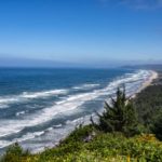
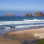
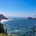
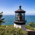
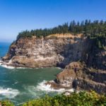
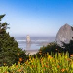
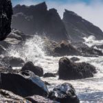
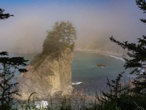 On our way to the Pacific North-West, we decided to travel up the coast. The rocky shoreline and expansive beaches were reminiscent of the West Coast of Scotland and we enjoyed the views, even in the mist that followed us most of the way. In addition to the many viewpoints, we stopped at Humbug State Park, Lincoln City and Cannon Beach, all with amazing rock formations. While in Lincoln City, Cheryl met up with a long lost childhood friend, Carol Cooper Jimenez, and two full days of reminiscing raised the social quotient. It had been 50 years since they last saw each other. We were so busy telling stories that we actually forgot to take pictures.
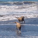
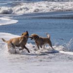
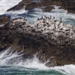
 We had fun watching a couple of very well trained Golden Labs chasing a stick into the surf (see movie below). Plus, we found a colony of Murres nesting in the cliffs by Cape Meares which were fascinating fliers. Whale watching at Depoe Bay, South of Lincoln City, was also on our agenda but rough seas and chilling winds put us off so all we saw were a few blowholes and glimpses as whales briefly surfaced before diving again.
Click on any thumbnail below to see larger image gallery.
- Sea Mist
- Massive Boulders
- Not quite edible
- Humbug State Park
- Humbug SP Campground
- Chillin’…
- Children playing
- Friends
- Going after the same stick
- Campground near Lincoln City
- View from Cape Meares
- Cape Meares Lighthouse
- Murres Nesting
- Haystack Rock, Cannon Beach
Click below to start movie of the dogs:
Elks, Jays, and an Art Museum
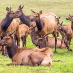
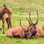
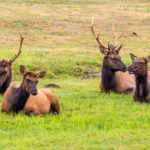
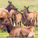 Just after we crossed into Oregon, we noticed a herd of Elk by the roadside, seemingly trapped between Highway 101 and an RV Park. We spent an hour or so watching the herd dynamics as they decided which way to move. Identifying the lead decision makers and watching as they tested various alternatives was great entertainment.
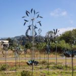
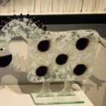
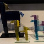
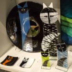
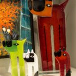
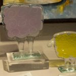
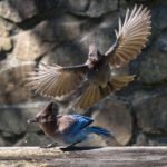
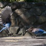
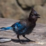
 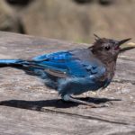 On our way from Depoe Bay to Lincoln City, Cheryl noticed an extensive display of garden kinetic art (her favorite, see movie below) so we stopped and investigated, finding some interesting work by local artists including some fused glass pieces. Afternoon entertainment at Humbug State Park was watching Steller’s Jays fight over some chips that were left on our picnic table and more that we left on our rug (see movie below).
Click on any thumbnail below to see larger image gallery.
- Elk Lodge meeting
- Kinetic Art
- Fused Glass Pony
- Ponies
- Cats
- Dogs
- Sheep
- Steller’s Jay
Click below to start movie of kinetic art:
Click below to start movie about the Steller’s Jays:
Click on map below to see larger version
Travels up the Oregon Coast

