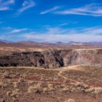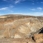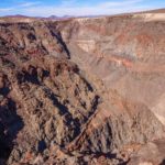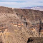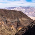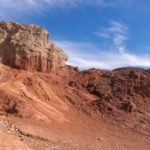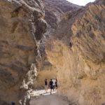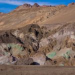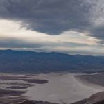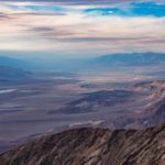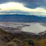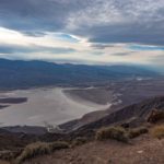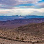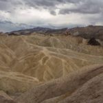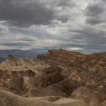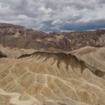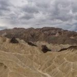

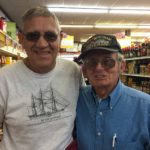
 Still in search of some warm weather, we headed South to Death Valley, one of the hottest places in the world. Our stop at Bishop was rewarded with some wonderful pastries at Schat’s bakery. Further on in Independence, stocking up for our journey, we stopped at a market and were engaged in the parking lot by a talkative Korean / Vietnam War Vet. He was intrigued by our British trailer-hitch icon and couldn’t help but ask us questions. For more than 45 minutes, standing in the hot parking lot, he was full of stories about his life and war bride. Now 20 minutes later, inside the market, he showed up with a handful of brochures about the area to help us on our way.
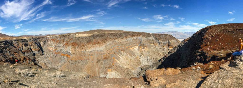
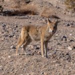
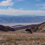
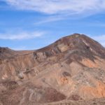
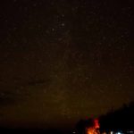
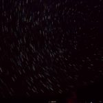
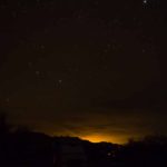
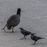
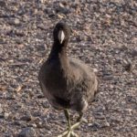
Death Valley was awarded its name from the optimistic prospectors who sought to find a short route to the California mines in the Gold Rush of 1849 and perished there. Gold and silver were later found inside the Vally but proved to be uneconomic. However, Borax mining was successful and operated in Furnace Creek and Amargosa from 1883 to 1889. The Borax was shipped out of the park using mule trains. 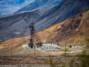 Inside the park, it was the rock formations that impressed us. We stopped to see Rainbow Canyon from Father Crowley’s vista point and then, after a brief encounter with a coyote, climbed over Towne Pass for a vista over Death Vally. We had no reservations but found a site at Furnace Creek campground and settled for the night. Furnace Creek has the highest recorded temperature in the world at 134 F in 1913. Fortunately there was some cloud cover when we arrived to mediate the heat. Death Valley has a reputation as a ‘Dark Sky’ location for night photography so Colin rose at 3 a.m. to take some star photographs. There was a bit more haze than normal so the result was not as dramatic as his Milky Way photo in South Dakota, but the results were interesting, showing 15 minutes of earth rotation, light pollution from a large motor home nearby, and a starry pre-moonrise shot. Next morning Colin was surprised to see a coot wandering the campground (harassed by blackbirds that tried to chase it off). The Ranger later explained that there was still a small amount of water in the lake areas so a few water-fowl make it their home.
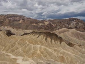 The weather was unusually cloudy, there was even a chance of rain later in the day, fortunately not enough to cause flash flooding that is typical with rainstorms here. We spoke to a Park Ranger then drove and hiked some of the areas within reach of Furnace Creek. We particularly enjoyed Artist’s loop (and palette), Zabriskie Point and, after a hair-raising ride, the vista back over the valley from Dante’s View.
Click on any thumbnail below to see larger image gallery.
- Schat’s Bakery, Bishop CA
- Tour Guide, Independence, CA
- Father Crowley Vista Point
- Rainbow Canyon
- Coyote wondering if we are a food source
- Death Valley from Towne Pass
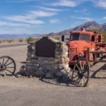
- Burned Wagon Point, site of 49’ers search for short route to Gold Mines
- Stars with ‘light pollution’
- 15 minutes of earth rotation
- Moon rise
- Coot harassed by blackbirds
- In search of water in Death Valley
- Jeep House
- Tank House
- Golden Canyon
- Artist’s Palette
- Dante’s View overlooking Death Valley
- Find Colin!
- Dante’s View Approach Road
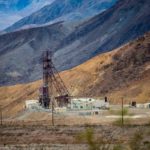
- Borax Mine
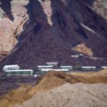
- Mine crew housing (no longer in use)
- Yes it rained!
- Zabriskie Point
Descent from Dante’s View
Click on map below to see larger version
Furnace Creek Campground, Death Valley National Park CA

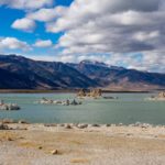
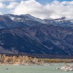
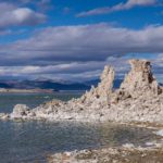
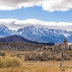
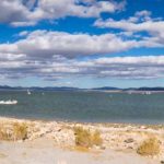
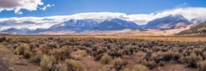 We traveled South past Reno and Carson City with the Sierras to the west. Past the peaks around Lake Tahoe and at the foot of Tioga Pass from Yosemite we found Mono Lake. The lake has no outflow being surrounded by mountains and so the salinity level grows as more and more water evaporates.
 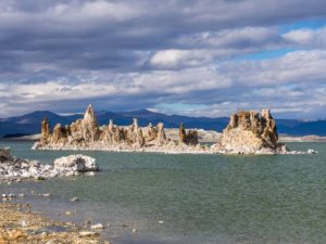 It contains chlorides, sulfates and carbonates and tastes pretty salty, being almost three times the salinity of the ocean. It is large (about 11 miles long) and shallow (average depth 56 feet) and the water level was 6,428 feet above sea level in 1919 before water began to be drawn from its tributaries and exported for use in Southern California. In 1982 the Lake level had fallen by 456 feet to 6,373, exposing 17,300 acres of lake bed and in 1994 the State Water Resources Board issued a protection order in order to preserve the Lake and restore its level eventually to 6,392 (6377 on 11/01/2016).
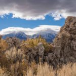
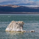
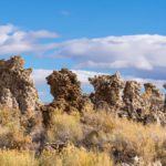
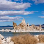
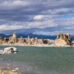
The high level of salinity has created unusual tufa (calcium carbonate) pinnacles, deposited over thousands of years around underwater springs. In year’s past, only the tops of the salt pinnacles were seen and now are revealed by the low water level and are a well-known characteristic of Mono Lake.
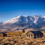
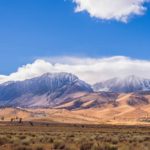
We stayed in a small RV park at Lee Vining, ate in its only restaurant and enjoy the views of the lake with the Sierras in the background.
Click on any thumbnail below to see larger image gallery.
- Cabin with Yosemite View
- Exposed Tufa
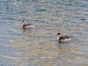
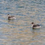
- Grebes
- Tufa Detail
- Yosemite mountains
Click on map below to see larger version
Mono Lake


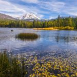
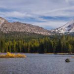
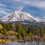
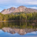
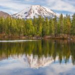
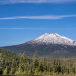
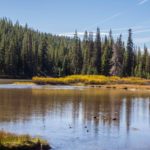
Time to head South and find somewhere dry and warm. Death Valley sounded good to us so we planned our route to Mono Lake, down the Eastern side of the Sierras. However, Mono Lake looked a bit far for a day’s journey so we decided to have one last look at the Cascades and visit Mount Lassen, the southernmost peak of the Cascade Range. 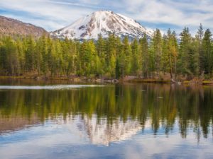 We drove into the Lassen Volcanic National Park Manzanita Lake campground late afternoon and found it beautiful but completely deserted. Consulting the Ranger, we discovered that a snowstorm was forecast that night and the road through the park was now closed for the winter at ‘Devastated Area’. However the afternoon was sunny and Cheryl prepared the van for a chilly night while Colin took a walk around Manzanita and Reflection Lakes.
Mount Lassen (14,500 feet) and Mount St. Helens are the only two US volcanos to erupt in the 20th century. The Mount Lassen eruption happened in 1915 and devastated nearby areas, spreading ash over 200 miles to the East. The dramatic events during this period were visible from as far as Eureka on the Pacific Coast and were well documented and photographed using a camera purchased in 1898 by Benjamin Franklin Loomis who lived in the area. 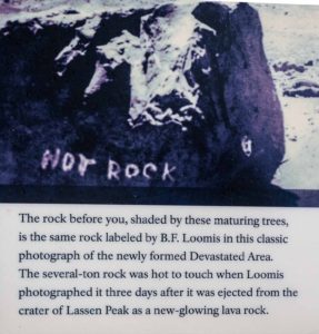 Some of his photographs can be seen in the NPS museum by Manzanita Lake. The area around the Peak was declared a National Park in 1916 to preserve its unique character.
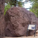
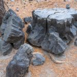
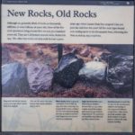
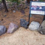
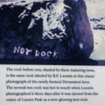
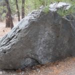
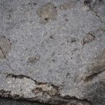
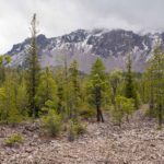
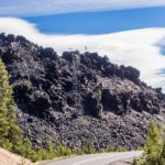
Next morning, the snow hadn’t arrived so we drove up to ‘Devastated Area’ and braved the temperatures and wind to take the trail documenting the 1915 eruption and (for our friend Bill Fritz) took some photos of rocks dating from the eruption.
Click on any thumbnail below to see larger image gallery.
- Mount Lassen, 10,500ft
- Manzanita Lake
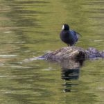
- One of the many Coots
- Seismograph by the Lodge
- Reflection Lake
- Boulder deposited in 1915
- Rock exploded from rapid cooling
- Rocks from before and after the eruption
- Loomis photo of rock still warm after the eruption
- Same rock today
- Inclusions from differential cooling
- Trees growing out of rock at ‘Devastated Area’
- Deserted Campground
Click on map below to see larger version
Lassen Volcanic National Park

Oregon’s Gorgeous Coastline
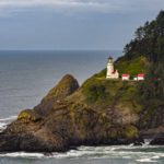
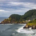
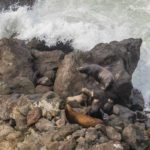
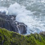
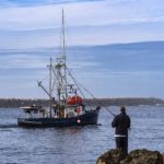
Since our first trip up the Oregon coastline was beautiful but too foggy for many photographs, we thought we would try a few more days to see if we could find some clear weather on the coast West of Eugene. After we eliminated Carl Washburne State Park as a campsite due to a lack of cell signal, we found Harbor Vista County Park just outside of Florence and settled down for a day or two to see if the rain would stop. We took advantage of a few hours when it cleared and traveled North to Heceta Head Lighthouse. In addition to the great view of the lighthouse, we found plenty of wave action and a group of sea-lions on the rocks and in the ocean below us. From our campsite, we could walk to the beach and watch some fishing action out of Florence Harbor.
Click on any thumbnail below to see larger image gallery.
- Heceta Head Lighthouse
- Sea-Lions
- Two different methods
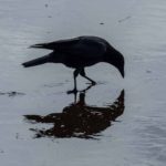
- Crow competing with the seabirds
- Florence Harbor Entrance
Hospitality Thanks in Portland
On our way from Tacoma to Portland, we stayed at the home of Kris and Cliff Schroeder, who very lovingly allowed us to park our van while we were waiting for an appointment at the Mercedes dealership 10 minutes from their house. We had a great time reminiscing about Sopha Medical days, where Kris, Colin and I worked during the early 1990’s. In Sopha, Kris was a top Quality Assurance (QA) engineer and in Portland, she’s still in QA but as a manager.  When Kris and Cliff moved back to Oregon (they were both from the same little town and were high school sweethearts),
  we kept in touch but hadn’t seen each other for the intervening 15 years. The last time I saw their children in person, Paul was ~3 and Mandy was a baby/toddler. Now Paul is in the Honors program at George Fox University and Mandy is a junior in high school and is an accomplished ballerina. This year Mandy will again play her favorite role in the Nutcracker as the Snow Queen.
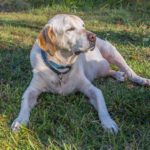
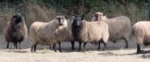 While at the Schroeder’s home we also met Nikki, a yellow lab, and their many sheep. When we were reminded that Cliff played guitar, we had to have an impromptu jam; these surprise sessions bring so much fun and richness to our travels. When not practicing music, Cliff is the owner of his own business, Cascade Data Systems, and loves woodworking. Thanks you lovely people for the great fun, conversations, and seeing your children thriving so deliciously well!
Hospitality Thanks in Veneta
The Lorenz family (Dave, Becky née Tembrock, and son Josiah) were great hosts for a night at Veneta, near Eugene after we left Eagle Point for another few days on the Oregon coast. It turned out that was the night of the final presidential debate so we had take-out Mexican food and and took turns yelling at the TV, sharing common feelings about the election. Becky gave us excellent advice about what to see in Oregon and where to camp, as we had met up with her when we were staying with her parents in the Sonoma Valley, in Santa Rosa. Thank you again to the Tembrocks and Lorenz’s.
Map Text Click on map below to see larger version Florence and Heceta Head, Oregon

About M&M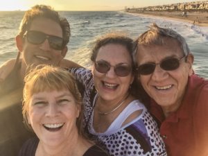
My brother and sister-in-law, Michael and Maggie Tauber (M&M), are true Los Angeles kids. Growing up in North Hollywood and Burbank, these urbanites have been living in the greater L.A. area for most of their lives. Their house in Manhattan Beach is near all three of their grown up boys as well as their privately owned indoor/outdoor plant
business. Reliable Plant Service customers are Hollywood stars, record and movie companies, hospitals, and local businesses. So I was surprised when M&M started speaking about a farm in Oregon, possibly to retire there. They had a dream and four years ago, they purchased this land, now called Maggie’s Farm (yes, Maggie’s name plus a Bob Dylan reference). M&M continue to run their business, with the help of their 3 sons and staff, both while in L.A. and when they reside up north.
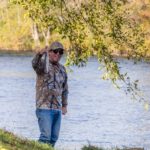
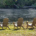
 Prior to this trip, Colin and I had not visited the property, so this was our first glimpse and vacation with M&M at their northern location. They were gracious enough to host us for 10 days (!); we visited quaint towns, a winery, picked pumpkins, walked the trails to the Prospect Waterfalls, played concerts for two sets of M&M’s friends, and attended Shakespeare’s play Hamlet in Ashland (at an outside, look-alike England’s Globe theater no less). We also loved chilling out by the Rogue River at the foot of their property where Michael attempted to show Colin how to fish. What a great time we had!
Eagle Point, Rogue River Valley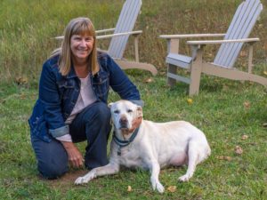
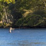
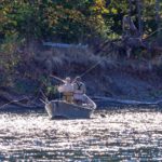
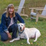
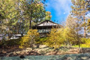
The farm is located in Eagle Point, near the town of Shady Grove in the Rogue River Valley. The 9 acres spread through old pine forests, grasslands, tilled land and now they have added plant, flower, and vegetable gardens and gather produce from their fruit trees. There are stables, barns, work sheds, and garages which hold all the parafanalia which is needed to properly run and cultivate the farm. The potential is to have animals too, but currently, just Sammy, their beautiful yellow Labrador, lives with them, moving back and forth from L.A. to OR when ever M&M drive (vs. flying). The property butts up against the Rogue River so after a day of working improvements to the land, M&M head toward the river.  Michael, an avid fly-fisherman, fishes every day (catch & release) and Maggie is comforted by the zen-like sounds of the moving water as she reads a book, watches wildlife, or sips a glass of wine. Ah, the perfect balance of life in rural, southern Oregon. Thank you, sweet M&M for providing a long rest from our travels, laundry facilities, great company, and opportunities for fun and relaxation. We love you.
Click on any thumbnail below to see larger image gallery.
- Travel day through Glendale, OR
- By Lost Creek Lake
- Lost Creek Lake
- Lost Creek Lake
- Fly Fishing on the Rogue River
- Fly Fishing on the Rogue River
- Parked on the farm
- Michael on the Rogue
- Maggie & Sammy
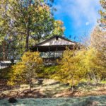
- M&M’s home
- M&M’s home
- M&M’s home
- Home to river view
- View of Rogue River from property
- View from property
- Michael caught one
- On the farm
- On the farm
- On the Rogue River
- Sammy relaxing
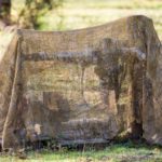
- Camouflaged water pump
- Water to home view
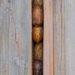
- Acorn Woodpecker Storage
- Acorn Woodpecker Storage
- “Dancin Winery” – blankets for customers
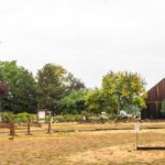
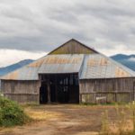
- Countryside
- Countryside
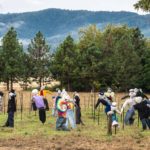
- Fun display
- I always stand up for ‘art’
- At the pumpkin patch
- Ashland ‘healing’ spa water
- Town of Rogue River
- Town of Rogue River
- Rogue River Valley building
- Rogue River Valley building (read the sign)
- Rogue River Valley tavern
- In front of Shady Cover Book-n-More gift shop
- Shady Cove Restaurant
- Prospect Falls
- Prospect Falls
- Prospect Falls
- Prospect Falls
- Prospect Falls
- Prospect Falls
- Madrone at Prospect Falls
- Prospect Falls
- Prospect Falls
- Sammy ever hopeful
Playing for friends at Maggie’s Farm
Click on map below to see larger version
Maggie's Farm at Eagle Point, Oregon

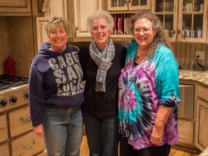
This was our second visit to Bend, Oregon, but on this trip, it was to visit two childhood friends whom I hadn’t been in touch with for over 50 years. The Cooper girls were raised with our family, our fathers and mothers, inseparable. Daily visits, weekends, all holidays, and vacations in Marietta Hot Springs were all part of our history.
Due to some strange events (another story, another time), we lost touch. Thanks to my brother Michael, he found Carol and Marlene on Facebook, and the reconnection was made. Both Cooper girls now live in Bend, Oregon where we visited them. Bend is an amazing place, filled with fun things to do and see. Due to our tour guides, it was even more fun when shown to us by locals. Thanks Carol and Marlene for giving me back a place in my heart that was yearning for your return. I love you both.
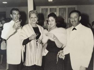
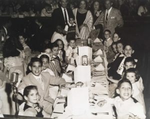 PS. The black & white party picture is from February 1958 Moulin Rouge Restaurant, Hollywood, CA. This was my 6 year old birthday party! (Talk about spoiled.) Left side front to back: Cheryl, brother Philip, Carol Gratz, 5 children back from me, Marlene Cooper. Back row standing: Dad, Mom, Bessie & Al Cooper, toddler: brother Richard with nanny Bertha May West. Right side front to back: Brother Michael, Nancy Gratz, Debbie Newman, and Mike Newman. Memory lapse for names of other children. Carol Cooper not present (Carol: Why are you missing? Couldn’t be seen with a bunch of younger kids, eh??)
Click on any thumbnail below to see larger image gallery.
- Marlene & Carol
- Marlene & her husband, Mike Boynton
- Nicki
- Sandy
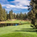
- Widgi Creek Golf Club from the Boynton’s deck
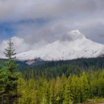
- Mount Hood
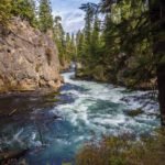
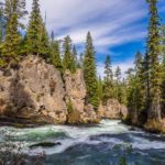
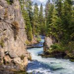
- Tumalo River, Bend
- Marlene Cooper Boynton
- Marlene & husband Mike
- Deschutes River
- Downtown Bend
- Mount Bachelor
- On the Lakes Loop
- Devil’s Lake
- Volcanic
- Devil’s Lake
Tumalo Waterfalls from the Cascade Mountains near Bend, Oregon (2 movies)
Click on map below to see larger version
Bend, Oregon

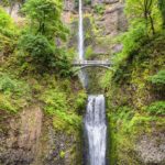
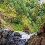
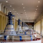
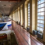
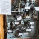
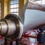
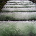
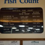
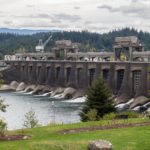
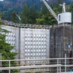
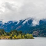
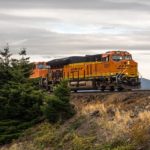
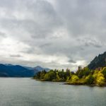
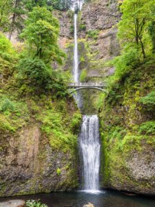 We couldn’t travel South through Washington and Oregon without visiting the Columbia Gorge. Known to Colin as one of the best windsurfing locations in the world, he was hoping for some action shots at Hood River. However, the weather didn’t cooperate for the three days we were there, very rainy and windless, so our photographic efforts were severely limited. However we did enjoy some dry weather at Multnomah Falls where Colin hiked the switchback trail to the top, 700 ft above the parking lot. We visited the Bonneville Dam and Lock facility, built as part of the ‘New Deal’ in 1934 employing 3,000 previously unemployed workers. We toured the original power station, still in use today. Colin was particularly interested in the original electro-mechanical control system on display which adjusted the water flow through the turbines via the blade angle to maintain the electrical power outlet. Like the many other dams and locks across the river, there is an extensive fish ladder system to allow salmon to negotiate their way up the river to their spawning grounds. ‘Fish counters’ are employed to watch the fish transiting the ladder at an underwater viewing point and a display of the current fish count is available.
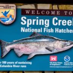
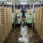
 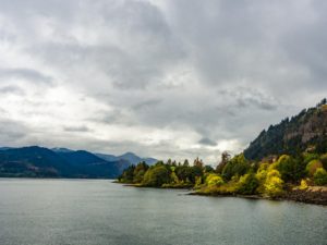 Upstream, towards Hood River, we visited the Spring Creek National Fish Hatchery, one of six on the Columbia River, and learned how it operates, raising more than 10.5 million Chinook Salmon annually. This was built in 1901 in response to heavy pressure on the fish population due to fishing pressure from the expanding population on the river and loss in habitat due to the building of the many dams across the Columbia River. It was flooded when the Bonneville Dam was built and so was rebuilt further upstream in 1972. We saw the trays of hatching salmon eggs and learned that the salmon raised in hatcheries have their adipose fin clipped so that they can be recognized and do not have to be released when caught. We were surprised to learn that despite these large numbers, only about 6% of the mature salmon in the river are hatchery raised.
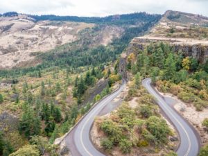
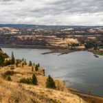
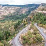
We took the Historic Columbia River Highway to The Dalles and learned, from the marker at the Rowena Crest Viewpoint, about the way in which the Gorge was created as a result of vast 1,000 ft high glacial floods at the end of the Ice Age, known as the Missoula Floods. At The Dalles, we visited the Columbia Gorge Discovery Center which had some fascinating displays and information. Of note were some old movies showing Native Indians fishing with spears off the rocks at Celilo Falls, upstream from the site where the Dalles Dam was built in 1957. The opening of the Dam saw the submersion of Celilo Falls along with the village of Cello and the consequent decimation of the native fishing grounds and economy.
Click on any thumbnail below to see larger image gallery.
- Multnomah Falls
- View from the top
- Water Turbines / Generators
- Art deco generator house
- Electro-mechanical flow regulator (see text)
- Turbine Blade
- Fish Ladder
- Upstream Struggle
- Manual Fishcount
- Main Spillway
- Lock Gates
- Freight train on Washington side of river
- Spring Creek Fishery
- Egg collection
- Salmon hatching trays
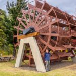
- Hood River Paddle Wheel from one of the Gorge Steamers
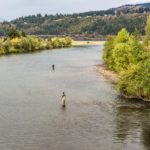
- Hood River Fishing
- View from Rowena Crest
- At Columbia Gorge Discovery Center
Woven Baskets at the Columbie Gorge Discovery Center, The Dalles, OR
Map Text
Click on map below to see larger version
Columbia Gorge

We visited both ends of the Nisqually River in Washington State, of which the source is a glacier high up on Mount Rainier. The river runs into the Puget Sound at the newly created Nisqually National Wildlife Refuge.
Nisqually National Wildlife Refuge
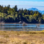
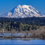
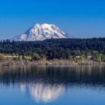
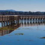
Most estuaries on the Puget Sound have been filled, dredged or developed over time. This has caused a drastic reduction in the habitat of many bird, plant and fish species. The Nisqually Estuary used to be an example of one of these. Land was used more and more for farming and dykes were built to exclude the salt water. In 2009, 35 years after its creation, the Nisqually National Wildlife Refuge was restored by removing dykes and reconnecting 762 acres of land with the salt waters of Puget Sound. The Nisqually Wildlife Refuge is now open to the public and managed by the US Fish and Wildlife Service. A long boardwalk stretches out into the sound which allows visitors to marvel over the expanse of land and the wildlife. If you’re lucky (and we were) you will see ‘the mountain’ towering above the landscape. We’re told that in this area of Washington, instead of discussing the weather, the most common question when strangers meet is, “Did you see the mountain?” The Nisqually River is fed by the Nisqually Glacier, one of 25 encircling the peak, so it was only natural that our next trip was to Mount Rainier National Park.
Click on any thumbnail below to see larger image gallery.
- Barn lookout for Rangers
- Mt. Rainier from the estuary
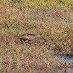
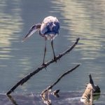
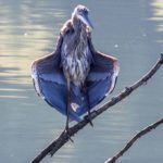
- Whimbrel (rare in this area)
- A curtsey?
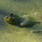
- Submerged frog
Mount Rainier
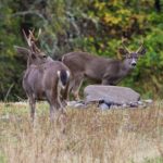
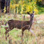
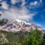
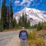
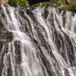
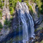
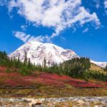
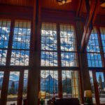
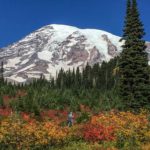
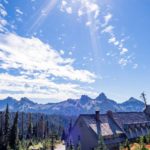
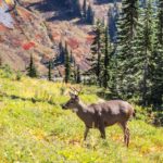
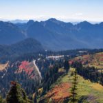
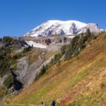
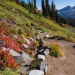
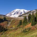
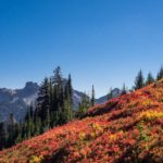
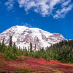
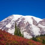
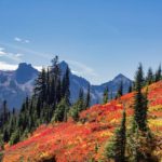
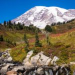
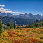
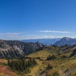
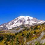
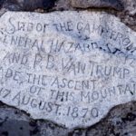
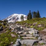
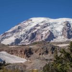
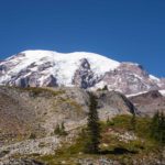
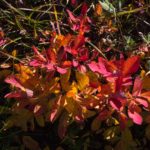
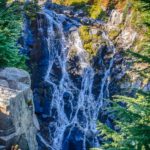
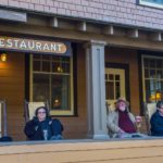
Mount Rainier, classified as an active volcano, is the highest peak in the Cascades mountain range at over 14,400 feet, and is surrounded by Mt. Rainier National Park. It has the most glaciers of any mountain in the contiguous United States. Even at the beginning of Fall, the glaciers were all evident. As we approached the park for a two day visit, we were continually surprised, negotiating the many turns, to see the mountain looming over us. It couldn’t have been a more perfect time to view and hike some of the trails around the mountain. The blue sky framed the snow capped peak while the bright red autumn ferns (bracken) exquisitely set off the pine forests. We drove from our campground via Narada Falls to (aptly named) ‘Paradise’ for our first close-up look at the mountain framed by the Fall foliage. Paradise is the snowiest place on earth where snowfall is measured regularly (1,122 inches in 1971/72). Encouraged by one of the Park Rangers who obviously mis-judged Colin’s age and fitness, he undertook a strenuous hike to the foot of the Nisqually Glacier, saw many waterfalls, mountain streams, black-tailed deer, and marveled at the Fall colors against the blue sky. Later in the evening, we sat on the veranda of the Longmire Lodge, met some colorful fellow travelers, and caught glimpses of the mountain in sunset pink.
Click on any thumbnail below to see larger image gallery.
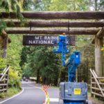
- Repairing the welcome sign
- First View
- Road to Paradise
- Narada Falls
- Paradise
- Paradise Lodge
- Colin taking off to the top
- Paradise Inn
- Black-Tailed Deer
- View back to Paradise
- The path to the glacier
- Mountain stream, Luiskin falls
- Base camp marker for first ascent of Rainier
- Close to the snow line
- Myrtle Falls
- Meeting fellow travelers
- Pink Mt. Rainier from the sunset
Map Text
Click on map below to see larger version
Nisqually Estuary and Mount Rainier

Bellingham, Washington.
We contacted the Pacific North West Northumbrian Smallpipes (NSPs) Group (yes there really is one, and a very active one) to see if we could attend their monthly meeting near Tacoma, WA. We received a return email from one of their members living in Bellingham, Peter Dyson, who no longer makes the long monthly drive South, but is still musically active. Peter has temporarily suspended his pipe playing in favor of the concertina due to a shoulder injury. He very kindly invited us for a music session at his home in the countryside, outside Bellingham, and invited two of his musician friends to join us. We had a great time playing together, meeting and talking with new friends. Here are some short clips from our session.
Peter Dyson: Concertina; Rachel Vogel: Fiddle; Michael Baker: Guitar; Cheryl: Flute; Colin: NSP.
Aln Water – Margaret Watchorn (harmony, Michael Korchonnoff)
Shingly Beach – Tom Anderson (harmony, Abby Newton)
Brafferton Village – Kathryn Tickell (harmony Derek Hobbs)
Lakewood, Washington, near Tacoma.
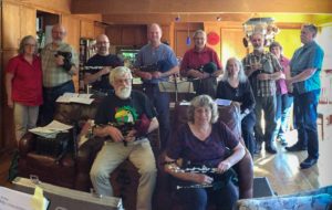 We gratefully accepted the invitation to join the group of Northumbrian Smallpipe players, a week later, that meets every month at the home of Paul and Ruth Anne Hickey in Lakewood, Washington. We had heard many stories about the group over the years and were not disappointed to meet the faces behind the names. The group was formed around the leadership of Gail Gibbard, and has been meeting monthly since 1998. This area has by far the greatest concentration of active NSP players in the US. We played all afternoon and enjoyed ourselves immensely. For anyone brave enough to want to know what a multitude of Northumbrian Smallpipes sounds like, here’s a short clip, one of the tunes we played.
Roxburgh Castle
Click on map below to see larger version
Playing with fellow NSP players near Seattle

Seattle Cityscape
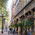 Showing us a beautiful blue sky from the Space Needle, Seattle was magnificent from 500 ft. up in the air. We followed this with a street level tour and found many fun places to go and observe.
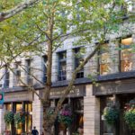
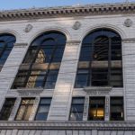
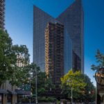
 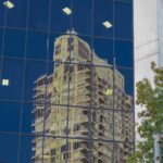 Pike Place Market (see below) was truly candy for the eye, and we spent a fun time at the Experience Music Project Museum (see below). Many of the newest and tallest of Seattle’s skyscrapers are covered in glass, creating some interesting cityscape reflections. Leaving the Space Needle we enjoyed listening to a Panpipe player and his band from South America (movie below).
Click on any thumbnail below to see larger image gallery.
- Iconic Space Needle
- Cheryl reflecting on the view
- Access to the Puget Sound
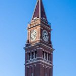
- Clock Tower at King Street Station
- Building in building reflection
- Reflection 2
- Dragon annonuncing Chinatown
- Chinatown picnic area
Pike Place Market
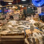
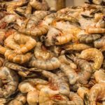
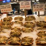
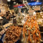
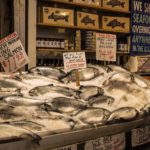
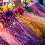
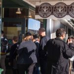
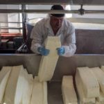
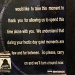
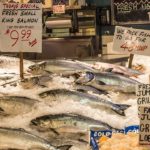
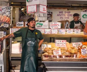 The crowds were such that we were walking shoulder to shoulder and being carried to the next stall. It was difficult to stop and linger over some of the exquisite displays, the people all wanting to purchase, take pictures, and stand with their favorite fish or vegetable! The seafood on display was particularly memorable. Colors, smells, and fragrances attacked and overwhelmed our senses at every turn. We visited a cheese factory, decided not to queue for access to the original Starbucks and stopped for a quick bite at a local eatery with a view over Puget Sound. Cheryl found a very strange and profound poster in the woman’s bathroom! (see gallery below)
Click on any thumbnail below to see larger image gallery.
- Precious girl
- Extensive local fish selection
- Giant, jumbo shrimp
- Dungeness Crabs
- Quality control
- Princess veils for sale
- Dressed for the market
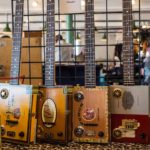
- Cigar box guitars
- Original Starbucks
- Cheese being made
- Humorous sign in woman’s bathroom
Experience Music Project (EMP) Museum
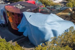
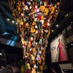
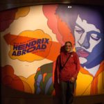
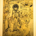
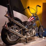
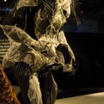
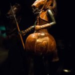
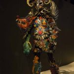
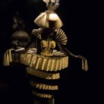
Seattle’s EMP Museum was founded by Microsoft co-founder Paul Allen in 2000, dedicated to contemporary music and pop culture. We found it fun and interesting, giving us ‘double-takes’ at the artwork to make us sure of what we were seeing and experiencing. Besides a Star Trek gallery, there was the guitar pillar which played music, a room as if you were in an electronic game, and amazing ‘Wearable Art’ clothing displays out of many unusual materials. 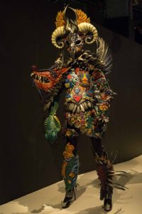 Colin enjoyed the Jimmy Hendricks gallery about his European tour. It brought back memories of listening to ‘Purple Haze’ in a small marquee at his college May Ball. Experiencing the Hendrix sound a few feet from the band, he can still feel his ears ringing. We listened, saw movies, found references to his England trip, and saw paraphernalia from the band’s traveling days. No less of an influence on both our generations, here was the original Easy Rider motorcycle that Peter Fonda rode in the movie of the same name. (Other inspiration for our road travel have been the well known: Jack Kerouac’s On the Road, John Steinbeck’s Travels with Charley, and particularly for Colin, Alistair Cooke’s Letter from America which he listened to every week on the radio as a boy.)
Click on any thumbnail below to see larger image gallery.
- Display fun
- Tower of guitars
- Inside a game
- Jimmy Hendricks poster
- Costume gallery
- Original Easy Rider
- Wood clothing gallery
- Top view of EMP
Quichua Machis playing near Seattle’s Space Needle
Map Text
Click on map below to see larger version
Seattle, Washington
