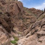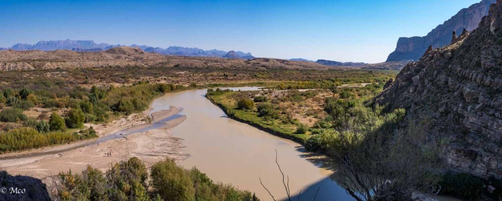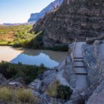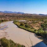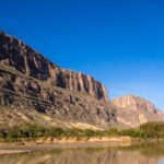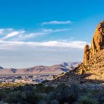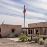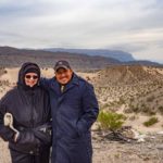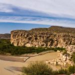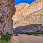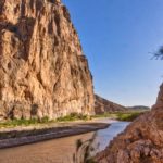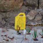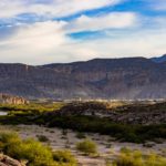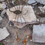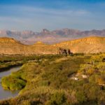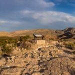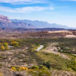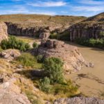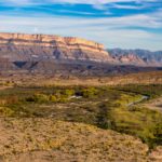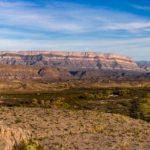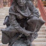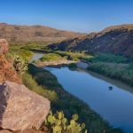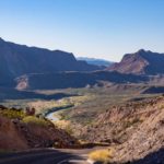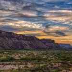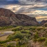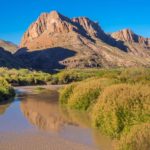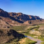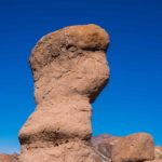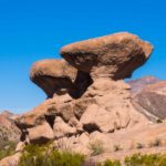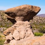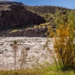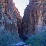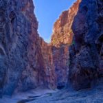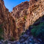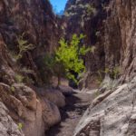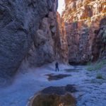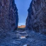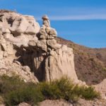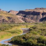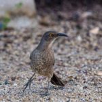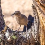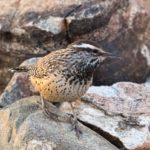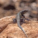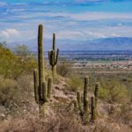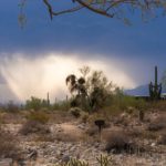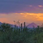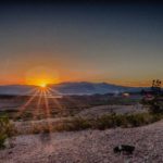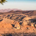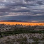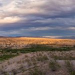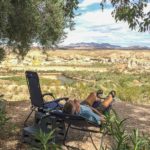

Having explored the rest of Big Bend area, we allocated a week to Big Bend National Park. It was well worth it. We stayed in two campgrounds, Chisos Basin and, when the temperatures dropped below freezing, breaking records for the Park, we moved to a lower altitude at the Rio Grande Village campground. The Rio Grande River forms the lower boundary of the park for 118 miles separating it from Mexico. The park contains the largest protected area of the Chihuahuan Desert and contains over 1200 species of plants, birds, mammals and reptiles. The Geology of the area is very complex and includes a period when the park was connected to the ocean so many fossils, including dinosaurs, have been found.
Chisos Basin
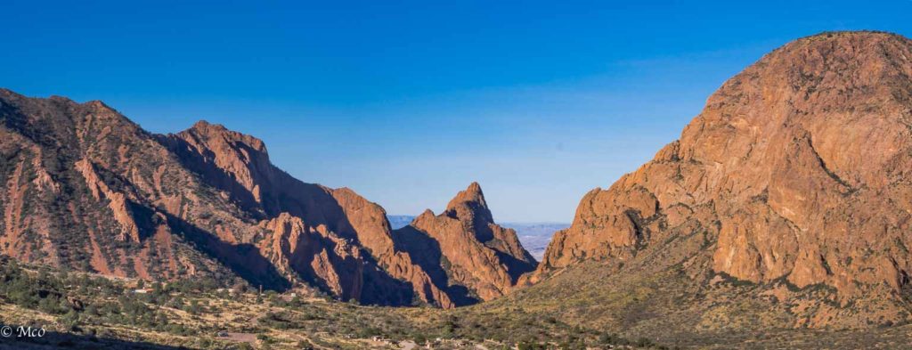
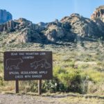
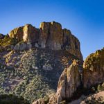
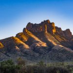
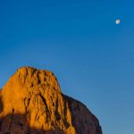
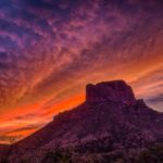
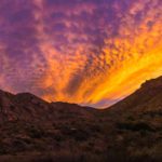
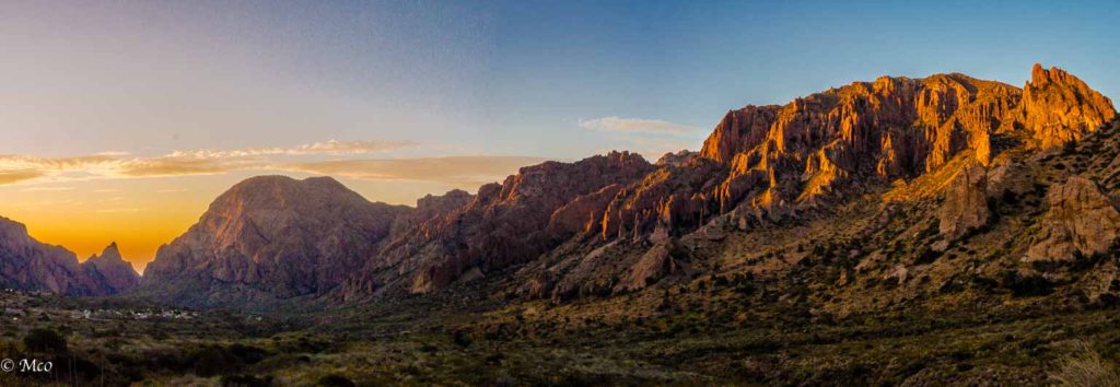
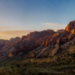
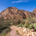
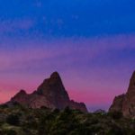
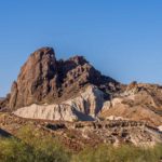
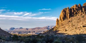
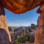
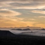
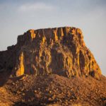
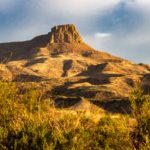
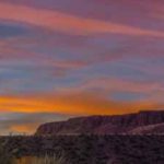
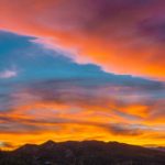
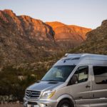
The drive into Chisos Basin is very dramatic through a pass between the highest peaks which reach almost 8,000 feet above sea level. The campground is located in the basin, completely surrounded by jagged-topped mountains. At the visitor center we inspected a map showing recent bear and mountains lions (none seen during our stay). I attended a geology talk by one of the Park Rangers and learned that the basin was formed, not as a caldera as he first thought, but by sediment being washed down between the mountains and having no place to exit. The sunrise and sunset hours were spectacular with the surrounding cliffs being touched by the light. The Chisos Mountain Range is the only range in the US completely enclosed in a National Park.
Click on any thumbnail below to see larger image gallery.
- Wildlife Warnings
- Campground
- Geology lecture
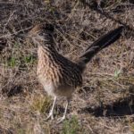
- Road Runner
- Sunrise over the Chisos
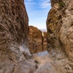
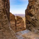
The Window
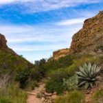
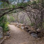
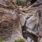
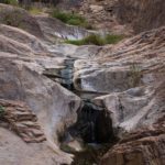
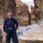
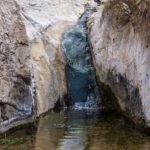
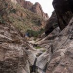
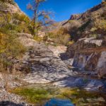
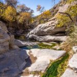
As the sediment in the basin built up in time, water eventually found the lowest point to exit. This narrow exit where all water exits down a 220 foot cascade to the desert below is known as the ‘Window’. It is also located where the sun sets at some times during the year. We did a short hike to watch the sun set on our first night and the following day I hiked the trail across the basin down to the Window and back. The trail through the desert scenery ended up in a river bed where water gradually appeared and eventually cascaded over the edge.
- Sunset in the Window
- Rock detail
- In front of the Window
- Cascade source
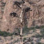
- Agave flower
- Sunrise at the Window
Santa Elena Canyon
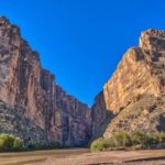
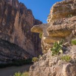
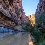
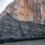
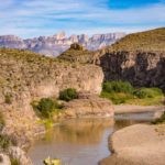
The Rio Grande cuts several canyons through the mountains and the Santa Elena Canyon is the most impressive. The cliffs rise to over 1,000 feet on both the US and Mexican sides and the canyon entrance can be seen over 10 miles away. We both took the trail up the side of the canyon which rises steeply in the beginning and then descends again to water level before the canyon sides meet the river and end the trail. Finding the beginning of the trail was a bit tricky as it involves crossing the Terlingua Creek (a tributary of the Rio Grande) and scrambling up the river bank to find the trail. We learned that the lack of any trail signs is because the creek frequently changes its course. Fortunately there were enough hikers around so that word of mouth directions were passed to us on the way up. We were able to help hikers as we came down and back across the creek. The canyon provides an echo chamber at the end of the trail which amused many of the hikers.
- Canyon entrance
- By water
- Cheryl on her way back
- Dewy
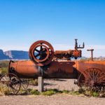
- Old equipment at Castalon Visitor Center
- Layers
Balanced Rock
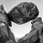
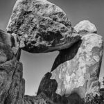
Having seen pictures of Balanced Rock in Big Bend brochures, I wanted to see it for myself and provide my own photographic interpretation. The Ranger at the Chisos Basin Visitor Center had assured me that the unpaved road to the trailhead was of high quality, no special vehicle required. However, the 7 mile journey down the road was a bit nerve-racking, particularly for Cheryl, as the road quality worsened the further we drove. In spite of the noise of rocks hitting the van, the rocking right to left over the huge potholes, I still wasn’t about to give up and we made it to the trailhead and waited for our dust cloud to settle. (I can’t see us on an unpaved road again until Cheryl’s memories have faded over time – and perhaps any repairs paid for). The hike was classified as moderate and indeed it was easy, leading through a valley between high peaks to the final climb up into the pass. The last quarter of a mile proved a lot more difficult, more like rock climbing than hiking, but I finally made it to the top just as the setting sun’s rays were leaving the balanced rock structure. The climb down was just as hazardous (mental note: I need a different way to carry my camera to leave both hands free) but I made it back into the valley with only a shin scrape. The ride back along the road didn’t seem quite as bad but we were both glad to reach the paved road and make it back to the campsite before dark.
Boquillas, Mexico
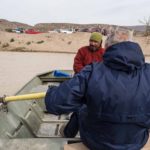
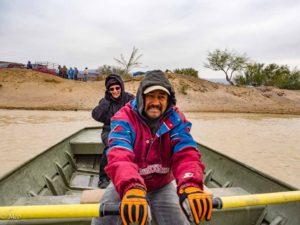 Big Bend National Park contains the only unmanned border crossing from the US to Mexico. It is reached by wading, swimming, or most commonly by hiring a rowboat across the Rio Grande for the princely sum of $5 round trip. The village of Boquillas, Mexico is a mile or two from the other side of the river and can be reached on foot, by burro, or by hiring a pick-up truck and driver. It was a very cold day (record low temperatures) and very windy so we went for the rowboat/pickup option. It was a good choice as we later learned, the burros often decide to go home instead of to the village, stranding their passengers. Our driver (and guide for the visit) Chalo Diaz was very pleasant and spoke English well, answering all our questions about life in Boquillas. The nearest town is 150 miles (the first 50 unpaved) and so they are dependent on a weekly truck delivery for food and supplies.
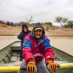
Mexican Customs and Immigration consisted of a hand-wave from an official in his trailer and we toured the town with Chalo, visiting his home, meeting his family and seeing the school and a clinic. Chalo was very proud to show us that all the village power was Solar-generated from the small facility at the end of the village. We dined in a local restaurant/bar with Chalo, and walked into some of the cultural buildings on the main street, which was just a dirt road. The town consisted of about 12 business buildings, and had no more than 75 one-room houses. We only saw one fenced-in garden area for fresh vegetables. On our way back, Colin persuaded the rowboat owner to let him row back across the Rio Grande, which proved a bit tricky with strong wind and current, but managed to reach the other bank close to the desired arrival beach. The ‘unmanned’ crossing was a bit of a misnomer as we discovered on re-entry to the US. A Park Ranger supervised us as we stood in front of a camera and spoke to a Customs and Immigration official by phone, who quizzed us about what we were bringing back, while our passports were being scanned.
In the late afternoon, we visited Boquillas Canyon, another steep-walled canyon cut by the Rio Grande through the huge, angular Sierra Del Carmen mountains. A trail from the parking lot leads over a ridge into the canyon which is navigable on foot for about two miles.
- ‘Unmanned’ Port of Entry
- Chalo Diaz, our guide
- RC Church
- Church interior
- Boquillas bar
- View from Boquillas over the river
- No shortage of furry friends
- Colin rowing back to the US
- Boquillas Canyon
- Beaded insects for sale
- Boquillas from the US
Rio Grande Village
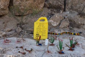
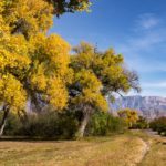
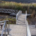
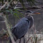
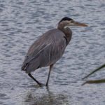
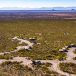
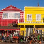
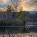
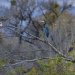
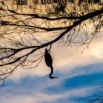
We stayed the next two nights in the National Park’s Rio Grande campground. I took an early morning hike on the Nature and Overlook Trails and was happy to discover a pair of Blue Herons occupying a spot under the floating dock structure used for a part of the trail. The early morning view from the top looked back over to Boquillas in one direction and over the campground to the Sierra Del Carmen mountains in the other. There were several ‘unmanned stores’ on the trails in this area (see picture) with trinkets from Boquillas Village for sale. We never did find out how the money and goods were transferred across the border.
- Cottonwoods
- New use for a Floating Dock
- Blue Heron
- Trinkets for Sale
- Sierra Del Carmens
- Boquillas from US
Hot Springs
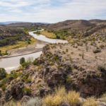
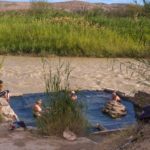
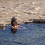
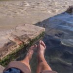
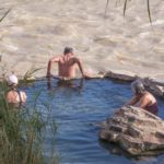
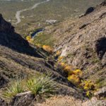
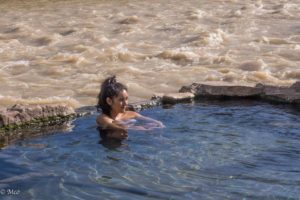 We had heard about the Hot Springs in this area of the park and wanted to take a drive to look, or even to take a dip. However this was vetoed when it became clear that this would involve driving on another unpaved road. So I hiked the alternative 6 mile trail over the ridge and along Hot Springs Canyon rim from the campground to the Hot Springs. The Springs themselves were pretty unusual, showing the contrast between the fast-flowing, muddy Rio Grande and the spring-water pool which sat right next to it. There was only time for a quick foot-dip before returning along the trail, which provided some great views of the river gorge with the Sierra Del Carmen behind.
Click on map below to see larger version
Big Bend National Park, Texas

Merry Christmas and Happy Chanukah . . .
We traveled to Big Bend, Texas a week before Christmas and Chanukah. However, because we are publishing this post on the 25th, we want to wish everyone a happy and safe holiday! Lots of hugs from us both.
Alpine, Fort Davis and Terlingua
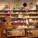
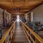
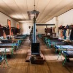
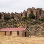
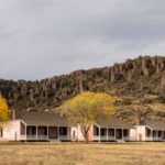
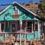
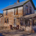
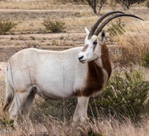 Our ultimate destination was Big Bend National Park but some Texans we met on our travels persuaded us to visit Murfa, Alpine and Big Bend State Park on the way. A surprise sighting of an African Ibex snacking on the shrubs was the only significant wildlife that we saw on this part of our journey. Neither of the towns suggested to us was particularly attractive apart from Sul Ross University in Alpine which houses the Museum of the Big Bend in a beautiful stone building. The museum, although small, gives a comprehensive overview of the history of the Big Bend area from dinosaur fossils to the present day. Fort Davis, a short drive North-East of Alpine, was originally set up as a frontier outpost to protect travelers on the San Antonio to El Paso road, mainly from Comanche, Kiowa and Apache Native Americans. Most of the travelers were on their way West to California hoping to strike it rich. This highway to the West was an unpaved road through the middle of the Fort, parts of which are still well-preserved. During the Civil War, the Fort passed back and forth to both sides but was finally occupied by the newly formed US Cavalry in 1867 and was built up as a major outpost with more than 400 soldiers, protecting wagons, stagecoaches and telegraph lines until 1891 when it was abandoned. It became a National Historic site in 1961. We particularly enjoyed the hospital, barracks and were amused by the sounding of (recorded) bugle calls at appropriate times during the day. On our way to Big Bend State Park we stopped at Terlingua, and drove around the Ghost Town, looking at relics of when the town was an active mining community producing Cinnabar, from which Mercury is extracted. Mining was carried out on and off until 1973.
Click on any thumbnail below to see larger image gallery.
- Texan cowboy outside the Museum of the Big Bend
- Museum artifacts
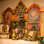
- Mission relics
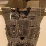
- Spanish chain-mail
- Fort Davis arsenal
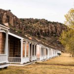
- Baracks
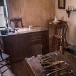
- Hospital
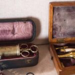
- Medical instruments
- Kiowa saddle
- Officer housing
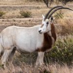
- Ibex (import from Africa)
- Terlingua ‘dude’
- Terlingua Ghost Town
- Private home ‘garden’
- Note the Yin Yang art
Lajitas and Big Bend State Park
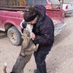
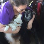
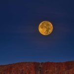
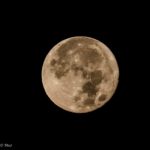
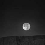
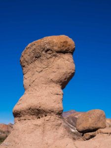 Big Bend State Park has no campground facilities of its own so we found an RV Park associated with a Golf Resort at Lajitas, close to the entrance to the Park. We weren’t quite sure what to expect but the RV Park, although very remote, was well run, roomy and pleasant. The resort across the road had hotel rooms, a restaurant, bar and other stores. The main road through the park from Lajitas to Presidio, known as the ‘River Road’ follows the course of the Rio Grande with the steep Mexican mountain range on the other side and many scenic views. We found it hard to believe we were at the border, no sign of a wall, and the river looked easy to cross, unlike the Chihuahua Mountain Range on the other side. Together, we hiked the ‘Hoodoos’ trail to an overlook and down to the Rio Grande. Hoodoos are rock pillars formed from a protective small layer of hard rock preventing the rock directly below from erosion, very common in Bryce Canyon, Utah. Colin also hiked into Closed Canyon, a chasm cut through the mountains by a wash, leading down to the Rio Grande. The canyon was dry but it was easy to imagine the rush of water on and off over hundreds of thousands of years creating the 150 foot canyon walls. The hike through the canyon gets more and more difficult, ending up requiring ropes to rappell down the rocks caught at the bottom of the canyon. While Colin was negotiating the canyon, Cheryl made friends with some passing travelers who lent her their dogs for a little while and gave us some good advice about the National Park, our next stop. The morning that we left Lajitas, the full moon was setting behind the mountains as the sun was rising so Colin took some moon shots.
Click on any thumbnail below to see larger image gallery.
- Lajitas resort
- A Texas hummingbird
- Live music at the resort
- Morning mist
- View from our campsite
- Lajitas cemetery mounds
- A baby cactus
- Texas blackbird
- Sunset from our campsite
- Texas cowbird
- Overlooking the Rio Grande
- River Road
- Sunset along River Road
- Mexico, left; US, right
- Rio Grande
- Hoodoos Trail
- Can you see Yoda?
- Entrance to Closed Canyon Trail
- This is how far I can run from my camera in 12 seconds
- On the way out
- Cheryl’s fur fix complete for the day
- Full moon setting as sun is rising
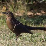
From Cheryl: Here is a particular bird song we woke up to every morning. I never did see the bird type, as they were hiding in palm trees and I could only see a shadow of them. They were dark, perhaps black, but nary a one would come out to get a picture taken.
Click on map below to see larger version
Alpine, Fort Davis, Terlingua and Lajitas, Texas

Dog Canyon
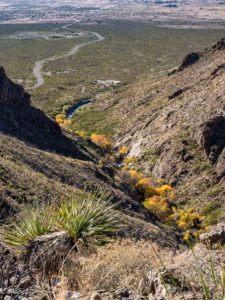 We found Oliver Lee Memorial State Park as our home base for exploring the White Sands area. The park was tucked into the foothills of the Sacramento Mountains, East of the White Sands National Monument and at the entrance to ‘Dog Canyon’, an area first settled in 1885 by a Frenchmen F. J. (‘Frenchy’) Rochas who found and piped water from the canyon to his orchard and then in 1893 by Oliver Lee who kept cattle and built an irrigation system. Frenchy was shot and killed in his cabin. Oliver Lee, his only neighbor, fell under suspicion but was not charged with the crime and later went on to become a New Mexico Senator.
We explored the source of water, a spring, and a short stream before it disappeared into the ground again. Then Colin opted for a very strenuous hike 5 miles up the side of the canyon and back enjoying the views of the Tularosa Basin as the sun went down.
Click on any thumbnail below to see larger image gallery.
- Our site at the foot of Dog Canyon
- View from the beginning of Dog Canyon Trail
- Cheryl: I LOVE this color of cactus!
- Fun shopping area
- Scary moment on a New Mexico Road
White Sands
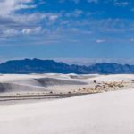
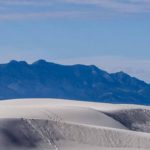
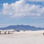
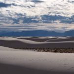
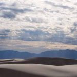
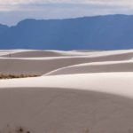
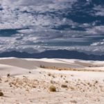
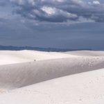
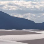
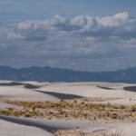
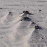
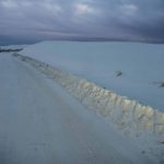
 The main reason for our visit to this area was to see White Sands National Monument. This unique landscape, originally occupied by the Mescalero Apache, was finally preserved as a National Monument in 1933 by President Herbert Hoover after several attempts, one of which was to create a hunting preserve. The white sand consists of tiny crystals of gypsum which is water soluble. The combination of a dry climate with no water escaping from the Tularosa Basin results in large soft selenite crystals forming in dried up lakes which are eroded and blown by the prevailing SW wind into the dunes area.
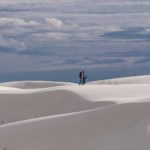
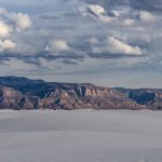
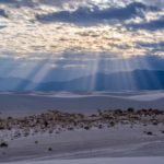
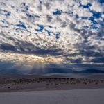
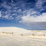
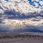
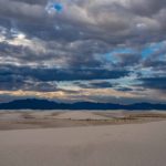
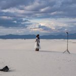
 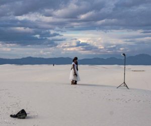 The vast white dunes, surrounded by mountains result in a unique landscape. The day was mainly cloudy, so no dramatic sunset photos that the area is famous for. Colin found it very easy to get lost in the landscape once away from the road but managed a few pictures. He met a professional photographer, shooting a recently engaged couple, who also grumbled about the lack of the sunset the area usually delivers.
Click on any thumbnail below to see larger image gallery.
- Visitor Center
- Windswept
- Engagement Photoshoot
- ‘Snowbanks’
White Sands Missile Range
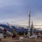
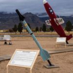
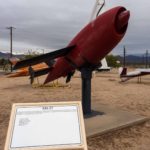
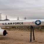
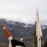
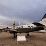
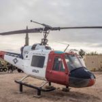
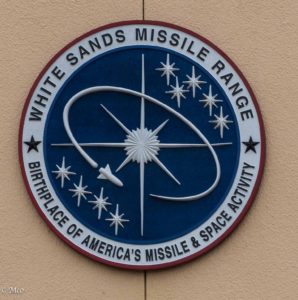 Formerly the White Sands Proving Grounds, the Missile Range was created in 1945 to test US and German rockets (with the help of Vernher Von Braun from Germany). Seven days after the Proving Ground’s creation, the first Atomic Bomb test was carried out at the Trinity Site on the North end of the range. Von Braun was one of several German Scientists brought to the US after Germany’s surrender in May 1945. The German V2 rocket, the world’s first long-range guided ballistic missile that had menaced Britain in the final 8 months of the war in Europe, was further developed and tested here by the US military. The Missile Range covers a vast area, 3,200 miles, in the Tularosa basin. Highways in the area are closed when a test firing is planned. Security was high in the area when we arrived to visit the museum and, after some discussion, we declined the vehicle search (there are many nooks and crannies in our van) in favor of walking in on foot to visit the museum. This was closed, giving a lie to the opening hours on their website, but we did walk around the outside exhibits representing a lot of the testing carried out there.
Click on any thumbnail below to see larger image gallery.
- ‘Target’ Missile for testing
- Jet propelled to assist mother aircraft
- Von Braun’s transport, used from 1945 onwards
- Recovery Spotter
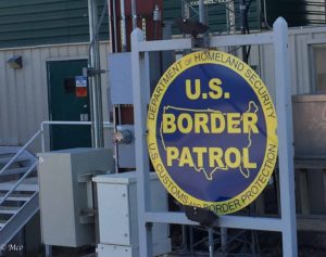 US Border Patrol in New Mexico
We were surprised to be stopped several times in New Mexico by roadblocks manned by the US Border Patrol. We answered “yes” to the question “US Citizens?” and we were on our way. A van ahead of us with four darker-skinned individuals was not so lucky, all occupants asked to exit with hands in the air and a search started.
Click on map below to see larger version
Jerome, Cottonwood, and Sedona, Arizona

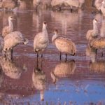
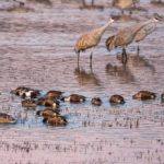
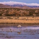
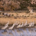
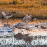
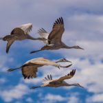
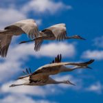
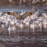
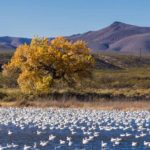
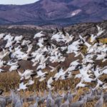
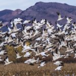
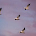
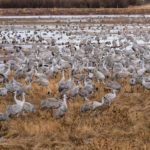
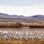
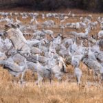
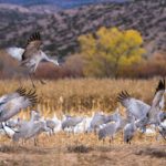
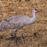
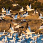
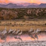
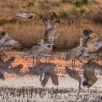
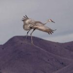
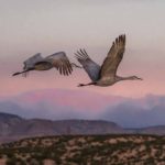
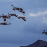
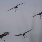
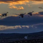
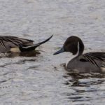
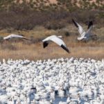
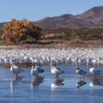
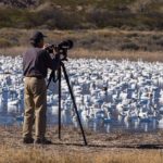
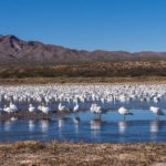
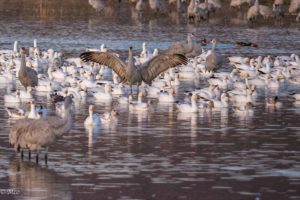 The Bosque del Apache Wildlife Refuge, South of Albuquerque NM, is run by the U.S. Fish and Wildlife Service . It is an amazing place! It serves as a stopping off or wintering point for migrating birds traveling South in the Fall or North in the Spring. It’s located just South of a funky little settlement called San Antonio, New Mexico. When we visited, there were thousands of Sandhill Cranes and Snow Geese along with many varieties of other waterfowl. The best time to observe and photograph was at dawn or at dusk when the birds were taking off or gathering for the night. The cranes and geese appeared to be vying for lake territory, when one flock arrived, the other left but they seemed to get along together well.
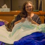
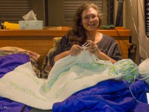 We stayed at the ‘Birders RV Park’ just North of the Refuge where we experienced an unusual and not forecasted cold snap one night when temperature went down to 18 degrees. Our water pipes froze but thawed the next day without damage, fortunately. Cheryl decided the best way to stay warm was to crochet a blanket and lie under it while it was being made (actually for a friend’s new baby).
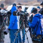
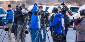 Colin felt ‘outgunned’ by the expensive camera equipment carried by a large group of ‘Pro’ photographers we kept on running into. However we were happy with some of the pictures we were able to take, so much so that we found it difficult to pick the best out of the 1,000 or so we took. So apologies for posting such a large number here, we hope you enjoy some of them. We laughed about the whole day we spent in Florida chasing a single pair of Sandhill Cranes contrasted with their abundance here.
Click on any thumbnail below to see larger image gallery.
- Sandhill Cranes
- Snow Geese leaving the Cranes behind
- Formation flying
- Dusk landing
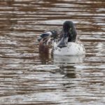
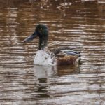
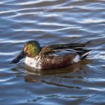
- Northern Shoveler
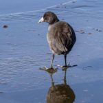
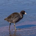
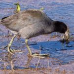
- Coot on the ice
The noise and quantity of birds taking off and landing were incredible. We tried to capture this in the following video.
Click on map below to see larger version
Bosque del Apache National Wildlife Reserve, New Mexico

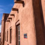
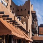
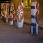
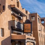
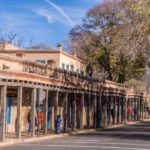
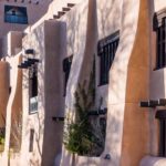
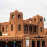
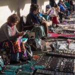
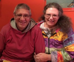 We both had visited Santa Fe several years ago and enjoyed the town very much so we picked it as our resting spot over the Thanksgiving weekend. This year Colin’s 72nd birthday fell on Thanksgiving Day and so what better celebration than dining at Santa Fe’s best (Asian) Indian Restaurant ‘Raaga’. The food, service, and ambience were great. Santa Fe (meaning “holy faith” in Spanish) was founded by the Spanish colonists in 1610. The architecture of the city tries to honor and keep the adobe style buildings, and does a great job of making a visit authentic. We enjoyed the music in the central square, the line of artists selling their wares, and experiencing the Native art everywhere we went. Delightful.
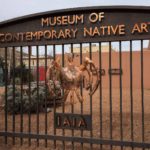
Museum of Contemporary Native Arts
We visited this museum located in the middle of the town, which is dedicated solely to advancing the scholarship, discourse, and understanding of contemporary Native arts. From Cheryl: I think Colin enjoyed this museum more than I did; my tastes run toward the traditional but I certainly had an appreciation for the thought and effort that went into the pieces.
Click on any thumbnail below to see larger image gallery.
- La Fonda Hotel
- La Fonda garage art
- Local artist walk
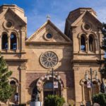
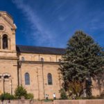
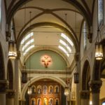
- Saint Francis Catholic Cathedral
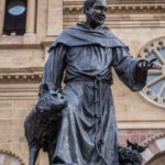
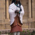
- Cater Tekakwitha, the first North American Indian to be beatified (2012)
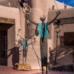
- City art
- Exit sign at our RV park
- Museum of Contemporary Art
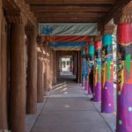
- Museum walkway
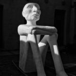
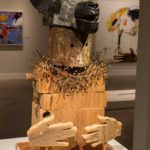
- Gollum?
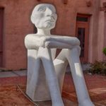
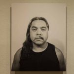
- “I’m Mexican American”
International Museum of Folk Art
The Museum of International Folk Art was founded in 1953 by Florence Dibell Bartlett (1881-1954), a wealthy Chicagoan who began visiting New Mexico in the 1920s. Her guiding vision was summed up by her statement “The art of the craftsman is a bond between the peoples of the world.” Like many of her generation who lived through two world wars, Bartlett was seeking a way of bridging differences and creating a sense of fellowship and common bond among cultures.
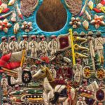
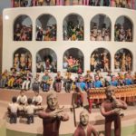
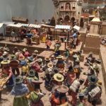
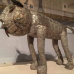
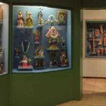
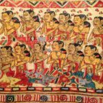
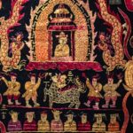
The museum, located on ‘Museum Hill’ outside of Sante Fe was overwhelming with the amount of displays available from which to see and learn. These pictures are just a sampling of art we thought were unusual or just fun.
Click on any thumbnail below to see larger image gallery.
- Garden art
- Punch & Judy
- Day of the Dead Musicians
- Gourd art
- Just funny
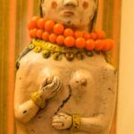
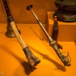
- Horns
- Arctic family
- Religious bib
- Musicians
- Musicians
- Silver
- Christian icons
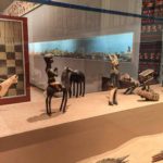
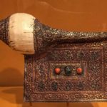
- Horn & book combination
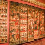
- Multi-panel tapestry
- Panel closeup, Asian art
- Panel closeup
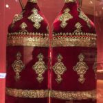
- Torah
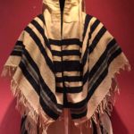
- Jewish prayer shawl
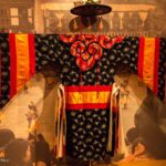
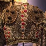
- El Toreador jacket
- Circus clown shoes
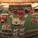
- The circus
Click on map below to see larger version
Santa Fe, New Mexico

New Mexico’s largest city offered us some interesting places to visit. We stayed in the foothills of the Sandia Mountains off the ‘Turquoise Trail’ route to Santa Fe within easy reach of Albuquerque.
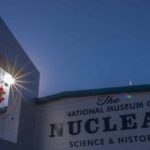
National Museum of Nuclear Science and History
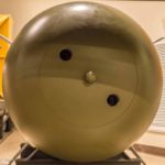
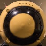
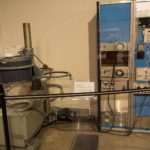
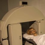
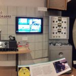
This was a ‘must’ for us as we both have backgrounds in Nuclear Medicine and are interested in the diverse uses of Nuclear Energy. We appreciated the comprehensive history of the development of Nuclear Weapons prior to and during WWII and the debate about whether to use them. Cheryl enjoyed the exhibit of the first Nuclear detector to produce Medical Images, developed by Hal Anger. She used this device (or one like it) in the 70s. Colin was interested to see a more modern Nuclear Medicine Scanner donated by Picker International, as he ran Picker’s Nuclear Medicine Division for several years.
Click on any thumbnail below to see larger image gallery.
- Museum Entrance
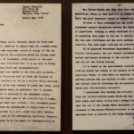
- Albert Einsteins warning letter to Franklin D. Roosevelt about nuclear weapons
- Kid’s play area with Einstein
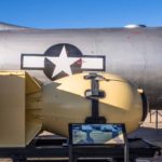
- ‘Little Boy’ destined for Hiroshima
- ‘Fat Man’ destined for Nagasaki
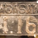
- Car Number plate from Nagasaki
- Original ‘Anger Camera’ for Nuclear Medicine
- Picker International Gamma Camera for Nuclear Imaging
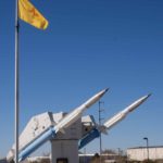
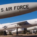
- Trident Nuclear missile
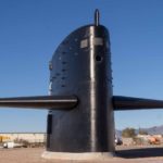
- Conning Tower from Nuclear Submarine
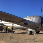
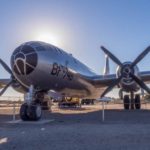
- Delivery plane for the bombs destined for Japan
University of New Mexico and Historic Old Town Albuquerque
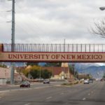
We often visit university campuses of different states, so decided on a quick tour of University of New Mexico. Most of the buildings had modern architecture with 2 campuses and very spread out. Cheryl’s oldest brother attended there for 2 years in the 60’s but the campus and city now probably offer no resemblance to that time. Additionally, we visited Historic Old Town Albuquerque, which was fun and offered the look and feel of the old west.
Click on any thumbnail below to see larger image gallery.
- University of NM
- Fun department at UNM
- Old Town Albuquerque
- Old Town Albuquerque
- Music in the plaza
- Local artists
Albuquerque Rattlesnake Museum
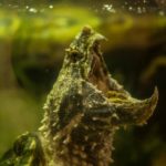
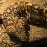
Warning: you may not like some of these images! Colin’s favorite (apart from feeding time) was the Alligator Snapping Turtles passive approach to feeding, sitting with his mouth open waiting for prey. Cheryl liked the cuddly venomous Gila Monster.
Click on any thumbnail below to see larger image gallery.
- Feeding Time
- Alligator snapping turtle
- Gila Monster (venemous lizard)
Balloon Museum
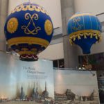
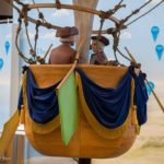
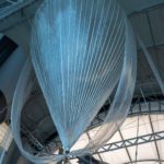
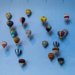
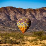
Albuquerque is famous for its October International Balloon Fiesta and is home to a very beautiful Balloon Museum located West of the City. After the discovery and development of the relationship between gaseous pressure, volume and temperature (Boyle’s Law) in the 17th century and follow on discoveries, hot air ballooning started in France in the 1780s with the famous Montgolfier Brothers’ flight with a sheep, a duck and a rooster on board. However, the Chinese knew about the capacity for hot air to raise up containers well before, likely around AD200. Until WWI, hot air ballooning in Europe was mainly recreational. We enjoyed learning more about the history, development, successes and failures of balloons, for example in preparation for space exploration and manned space flights. Who knows, a balloon flight may be in our future.
Click on any thumbnail below to see larger image gallery.
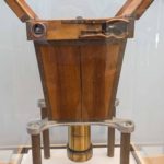
- Aerial camera designed for balloon transport
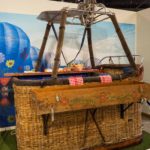
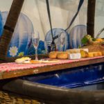
- Fine Dining above the ground
- Designed by an ex-sailor?
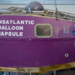
- Premature landing near Albuquerque
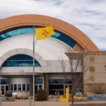
Indian Pueblo Cultural Center
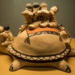
This was a fascinating visit for us to learn about the history of the Pueblos in the South West and how they have struggled to maintain their culture and land. There are 19 pueblos in New Mexico, all independently run, covering many different tribes and languages but all sharing a common way of life. Their history was very well displayed and explained in the museum, particularly the colonization by the Spanish, ‘civilization’ by the Spanish Missionaries and their fight with the US Government to maintain ownership of at least some of their original territory. Below are photos of some of the Pueblo Art also found in the museum:
Click on any thumbnail below to see larger image gallery.
The Turquoise Trail to Santa Fe
We took the back way from Albuquerque to Santa Fe known as the ‘Turquoise Trail’, perhaps named for the many shops selling jewelry in the little towns along the way. We spent most of our time in Madrid, a town with a long history of coal mining, now appealing to tourists with its many bars, jewelry and art stores, restaurant’s and a quaint ‘Mine Shaft Tavern’.
Click on any thumbnail below to see larger image gallery.
- Mine Shaft Tavern, Madrid NM
Singing Road
Route 66 from Chicago to California is famous for many reasons. We didn’t know until we came to Albuquerque that there is a special section here that plays a tune if you drive at exactly 45mph with your nearside tires lined up just to the left of the white line. After two unsuccessful attempts, we finally were able to hear (and record) it. Listen carefully. See what wonderful fun we have while traveling?
Click on map below to see larger version
Albuquerque, New Mexico, Staying at Turquoise Trails RV Park

We took the advice of friends and approached Sedona from Prescott traveling East over the pass by Mingus Mountain then down through Jerome into the Verde Valley. We stayed for a few days at Dead Horse Ranch State Park in Cottonwood and made day trips to Sedona.
Jerome
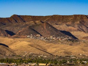
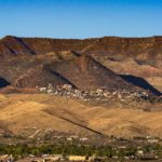
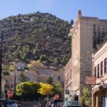
The Route 89A Pass over the mountains and down to Jerome (altitude over 5,000 feet) was one of the most beautiful rides we have taken, ending up with great views over the Verde Valley towards Sedona. Jerome is an old mining town, ghost town, now turned into a tourist trap nestled half way up the mountain. It’s not the most beautiful of towns but the location is amazing and the town has a lot of history to learn about. Copper was discovered and the first claim made in 1876. Copper was mined from 1883 until 1953. Jerome’s population rose to boom-town numbers of over 15,000 but dropped with copper prices to a low of 50 in the 1920s. It has made a come-back as an artists and tourist town with many of the buildings preserved.
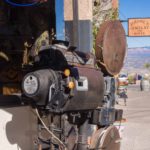
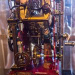
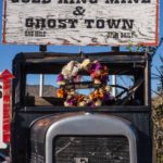
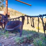
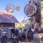
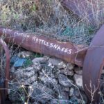
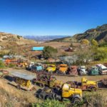
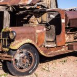
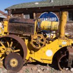
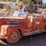
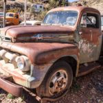
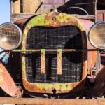
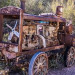
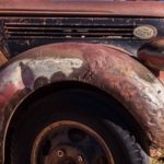
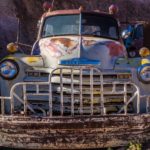
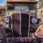
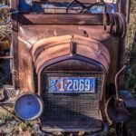
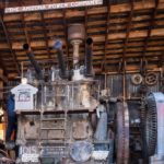
We visited a ‘Ghost Town’ which turned out to be more of a junkyard but provided some fun photo opportunities of some classic rusting vehicles. We particularly liked the ‘Arizona Power Company’ motor generator (see movie below).
Click on any thumbnail below to see larger image gallery.
- Descending towards Jerome
- Jerome from the East
- Brothels = $
- A brothel law
- Downtown
- Local police
- Old Movie Projector
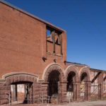
- Heritage hotel
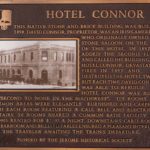
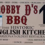
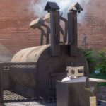
- BBQ from England?
- Ghost town welcome
- Fence of tools
- Mining office
- Ouch, pioneer dentist office
- Jeesh
- Symphony of trucks
- Power Music, see below
Cottonwood
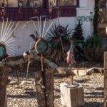
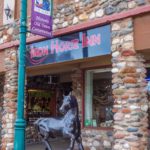
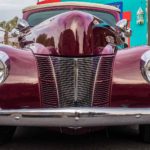
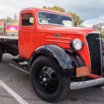
 We picked Dead Horse Ranch State Park at Cottonwood as a good base to tour the area surrounding Sedona. The park has a number of small lakes which have attracted waterfowl, very noisy in the evening (hear audio below). We visited the ‘Blazin M Ranch’ for a chuckwagon dinner and western show (music was very well done) and happened on a street fair in Cottonwood with some classic cars. Cheryl enjoyed looking around the extensive collection of ‘recycled garden art’ at the store pictured above.
Click on any thumbnail below to see larger image gallery.
- Cottonwood street
- Hippies welcome
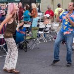
- Dancing hippies
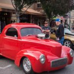
- Classic Cars
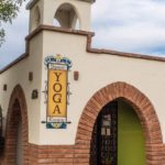
- Yoga, western style
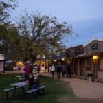
- Western town
- Poor jailbird
- Chuckwagon music
- Crazy store
- Crazy art
- Evening at the lake
- Reflection
Sedona
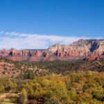
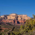
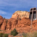
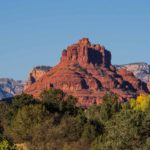
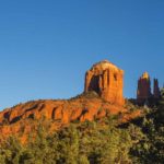
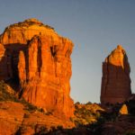
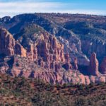
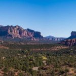
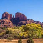
 And now for the rocks . . . Sedona is famous for the many pink and red rock formations surrounding it. It is an area of great natural beauty and there are records of human habitation back to 10,000 BC. The area was inhabited by the Yavapai and Apache tribes from 1400 AD until they were forcibly removed in 1876 to the San Carlos Reservation by Anglo-American settlers. Many of the 1500 tribe members lost their lives during the mid-winter forced march. The area was considered to have great spiritual significance by these early dwellers.
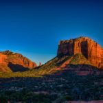
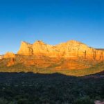
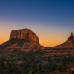
The development of modern Sedona as a tourist and recreation center didn’t begin until the 1950s. The town of Sedona adds little to the natural beauty to the area, no identifiable town center, many tourist shops selling crystals and incense, little character. However the overwhelming scenery of the area dominates and we loved driving around the surrounding area, taking many pictures. We couldn’t help wondering what the area would be like if it had been turned into a National Park.
We couldn’t discuss Sedona without mentioning Sedona’s Vortex. ‘New Age’ proponents believe that a Vortex is “A special spot on the earth where energy is either entering into the earth or projecting out of the earth’s plane.” Sedona boasts many vortices (or vortexes as the tourist industry calls them). We visited a few around the area and, while moved by the natural beauty, didn’t feel any “energy surging into or out of our bodies”. We have failed to discover when and where this concept arose but there is no doubt that the tourist industry leapt upon the concept, developed it, and is making a lot of money out of it. Glastonbury in England is another area benefiting from this idea. Here are a couple of interesting articles about the phenomenon.
Click on any thumbnail below to see larger image gallery.
- View coming in to Sedona
- Golden sunset
- Sedona Valley
- Arizona cemetery
- Scouts Honor
- Coffee Pot Mountain
- Sunset
Arizona Power Company ‘Music’

The Day of the Dead
 We met Paul and Catherine Pickering by chance on Vancouver Island back in September, when we discovered surreal coincidences between our lives. They invited us to visit them in Mesa, AZ when we passed by on our way East and fortuitously, this coincided with an annual party they host, the ‘Mexican Day of the Dead’ (with a twist). We were supposed to dress as our favorite musicians, but sometimes, the simplicity of an outfit wins over how Beethoven or Berlioz would have dressed;
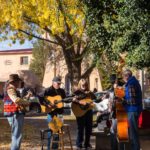
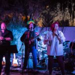
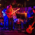
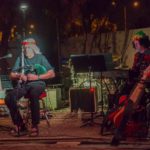
 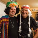 Colin as Willie Nelson and Cheryl as Dolly Parton. Neither of us got the message that we were suppose to dress as our favorite DEAD musicians. So sorry Willie and Dolly – not to hurry your demise. Paul is an accomplished musician, plays a wicked guitar, and plays with many bands around the area. Consequently, most of the 50+ crowd were performers and we were treated to all-evening performances of jazz, blues, rock, country, and . . . bagpipes. Yes, Colin played for the crowd too. Colin had a different kind of appearance as Willie played the Northumbrian Smallpipes (NSPs). Thank you Pickerings for letting us drive on your grass to park our van, the great hospitality, and the great music and food. Fun, fun, fun.
Click on any thumbnail below to see larger image gallery.
- Jimi Hendrix (Paul) and Willy Nelson
- Dolly and Catherine as Carmen Miranda
- Willy on the pipes
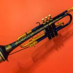
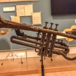
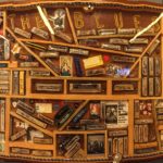
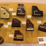
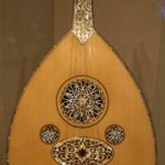
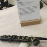
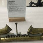
Musical Instrument Museum (MIM), Phoenix
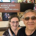
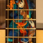
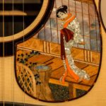
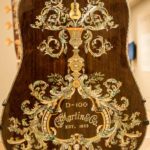
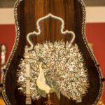
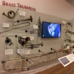
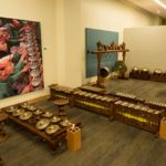
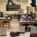
We can’t say enough good things about this amazing museum. Since we are both musicians, we loved seeing the history, the development, the variety, and the different countries in which these musical instruments were ‘born’. Even if you aren’t a musician, go! We are all connected by music, and the MIM proves this by the sheer magnitude of its inspiring 10,000+ instruments and exhibits. It wasn’t just the instruments that made this museum so unique. Almost every exhibit had video of either the instrument, a musician playing the instrument, or histories of those well known musicians who created magic on those instruments. Note: At the time of our visit, there was a special exhibit which highlighted intricate inlays on guitars called, “Dragons and Vines.” This collection of guitars was created by Pearl Works of Maryland, Larry Sifel, founder (1948-2006).
Click on any thumbnail below to see larger image gallery.
- Dragon & Vine design
- John Lennon display
- Trumpets
- Miles Davis’ trumpet
- Louis Armstrong’s teacher’s horn
- A few harmonica types
- Autoharp display
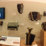
- Accordion display
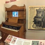
- Look at the $ for this mail order piano!
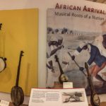
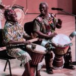
- Blacks heritage of music from Africa
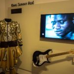
- King Sunny Adé, Nigeria
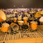
- A massive drum set
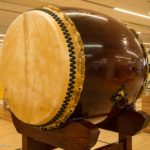
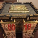
- Asian drum
- One of the 2008 drums heard in Beijing ’08 Olympics ceremony
- Asian drum
- Orient
- Early recording studio
- Instrument Hospital
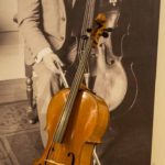
- Pablo Casals, his favorite Vuillaume cello (when in Puerto Rico)
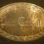
- Cello case detail
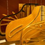
- Steinway piano construction
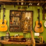
- Guitar workroom
- Strange, exhibit A
- Strange, exhibit B
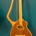
- Harp & guitar combo
- Fender ‘Quad’
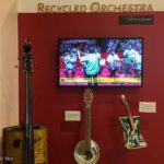
- Recycled orchestra
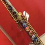
- Buttons & bottle caps for keys
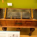
- Czech Hammered Dulcimer
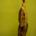
- Nykelharpa
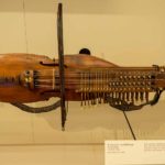
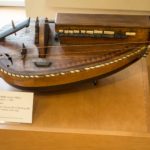
- French Hurdy Gurdy (Wheel Fiddle)
- Just strange
- Inside pano of MIM
Bagpipes
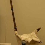
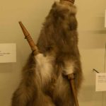
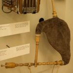
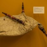
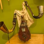
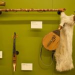
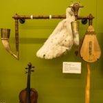
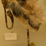
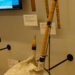
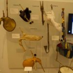
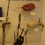
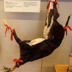
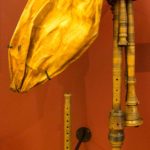
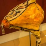
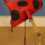
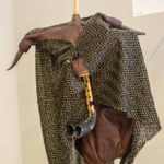
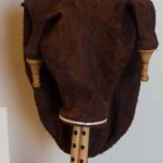
Colin: I was interested to see the large variety of bagpipes on display at the museum. There were about 30 examples, mainly from Europe and the Middle East. Because of the popularity of the Greater Highland Pipes, there’s a common misconception that bagpipes originated in Scotland. However they have been played for over 1,000 years and likely originated in the Middle East. The pictures below show two different methods of providing air: mouth-blown and bellows-blown. My instrument, the Northumbrian Smallpipes (NSPs, bellows-blown), was not in evidence, the most similar being the Uillean pipes from Ireland. Naturally I encouraged the MIM staff to expand their display to include the NSPs!
Click on any thumbnail below to see larger image gallery.
- Kaba Gajda, Bulgaria
- Dudas, Latvia
- Torupil, Estonia
- Dudy, Ukraine
- Dudy Wielkopolskie, Poland; bellows
- Dudy, Slovakia; bellows
- Dudy, Czech; bellows
- Gajdi, Slovakia
- Gajda, Macedonia
- Note: Scottish Highland Pipes (bottom)
- Zaqq, horn is removable, used as a weapon
- Zampogna a Chiave, Italy
- Sac de Gemecs, Catalonia, Spain
- Uillean pipes, Ireland; bellows
- Tsambouna, Greece
- Gudastviri, Georgia
- Ney Anban, Iran
- Ney Anban, Iran
- Mizwid, Tunisia
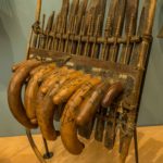
- Zokra, Middle East
Calliope from Antwerp, Holland
Click on map below to see larger version
Mesa Arizona and Musical Instrument Museum, Phoenix Arizona

The Arizona Desert
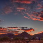
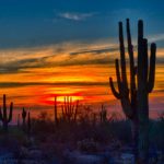
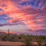
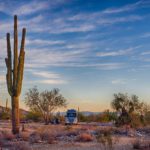
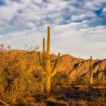
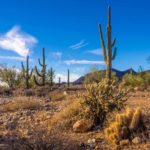
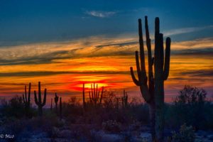 We had a couple of friends we wanted to visit and in searching for a place to stay, we happened upon a wonderful desert park in the foothills west of Phoenix, White Tank Mountain Regional Park. The park was maintained immaculately, the graveled sites were ‘Zen-raked’ and roomy, and the desert scenery magnificent. We stayed here for almost two weeks, catching up with our friends and enjoying some R&R, a vacation from our vacation. The park extends over 30,000 acres and has many trails for hikers, horses and mountain bikers.
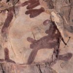
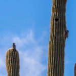
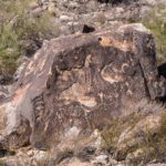
 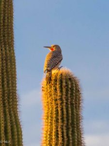 There’s even a ‘racetrack’ used by bikers and / or horses. We took advantage of the trails, Colin hiked the Ford Canyon trail up into the mountains where a ‘tour guide’ adopted him, and Cheryl and Colin hiked the Waterfall Canyon trail after a day of rain but found only a dry waterfall by the time we arrived. There was a pool, however, used by the Native Americans for many years as a water source, and many petroglyphs to see. Colin enjoyed searching out birdlife in the early morning, surprised to see that woodpeckers are at home on Cactus (doesn’t it hurt their feet?)
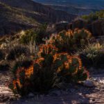
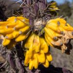
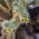
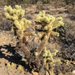
 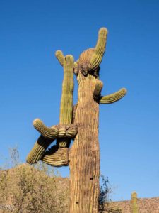 There’s a McNaught family story from the Joshua Tree NP, a Cholla Cactus attacking son Jon, who was 6 at the time; Jon remembers it too. Now in 2016, Colin was so concerned about getting a good photo that he let one of the baby cactus attack his foot; we’re sure this was his reward for being amused at Jon’s predicament, years ago. During our two week stay, we were entertained by the many unusual shapes of the cacti and took way too many photos. The inspirational desert surroundings brought back Colin’s childhood when, like many, he read comics and books about ‘Cowboys and Indians’.
Click on any thumbnail below to see larger image gallery.
- Campground
- Sunrise
- Sunset
- Campsite
- Morning light
- Gila Woodpeckers at home on Cactus
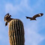
- Territorial Dispute
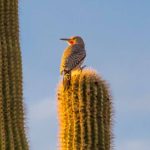
- Gila Woodpecker
- Thrasher
- Cactus Wren
- One of many types of lizards found in AZ
- Cholla in flower
- Waiting to catch unsuspecting visitors
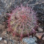
- Red Spined Barrel Cactus
- View down Ford Canyon
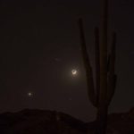
- Moon and Venus over Cactus
- Waterfall (dry)
- Petroglyphs
- Rock Lizard
- Growing out of Rock?
Visiting BillyBoy
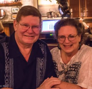 From CherylDee: It had been years and years since I had last seen Bill McMullen. We used to catch up with each other from time to time, while traveling to different cities for medical conventions. In 1975, ‘BillyBoy’ was head of cardiac ultrasound when I was a nuclear medicine tech at West Hills Hospital, CA (San Fernando Valley). BillyBoy and I were friends and even played Mr. and Mrs. Santa Claus for the children’s wards. BillyBoy will be remembered forever by me and my family when in 1979 he moved into my parents home to help with my dying father. And then, without being in touch for years, in December 1991 he appeared at the Chicago Radiological Society of North America (RSNA), to tell me of my mother’s passing. He is a special kind of friend, and at my brother Michael and Maggie’s wedding, Bill again proved his good heart when, without prompting, he picked up Maggie’s father, who had trouble walking, to carry him to the ceremony – a sandy beach 250 steps away from the Chart House party location. Selfless, and filled with humor, it was finally great to go to Bill’s home, meet Kris, after so many years of their marriage, and to see what a remarkable pair these two are. Bill has some heavy duty medical issues, but his smiling face and twinkling eyes continue to sparkle. I love you BillyBoy and Kris. You are forever in my heart.
Arizona Beautification Projects
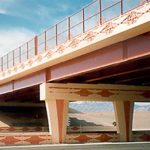
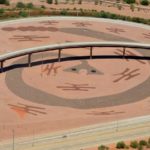
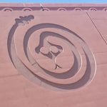
From Cheryl: I was impressed with freeway artwork in and around Phoenix. I was told by a friend that 1% of the revenue goes to the beautification of the city. I just wanted to show you what can happen in a town when art becomes part of structure.
Click on map below to see larger version
White Tank Mountain Regional Park, Arizona

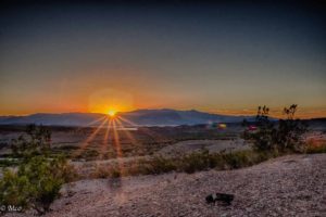 We couldn’t continue our journey to Arizona without stopping for a day or two in ‘Sin City’. We picked Lake Mead National Recreation area as our home for a couple of days and found a site with a wonderful view over the lake and mountains at Las Vegas Bay. Our site was on the rim of Las Vegas creek which feeds the lake from the West. The lake is a shadow of its former self, unable to keep up with demand for water and power for California, Nevada and Arizona’s growing need in the face of climate change. The main source of water for the lake is the Colorado River with controlled output from Lake Powell via the Glen Canyon Dam. The Lake Mead water level fell from its high of 1225 feet in 1983 to a record low of 1072 feet on July 1, 2016 and the Hoover dam, which created Lake Mead, is being fitted with new low velocity turbines to cope with the reduced flow.
 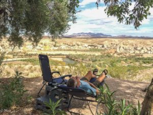 If current conditions continue, there is a high likelihood that lakes Powell and Meade will cease to be viable sources of power and water by 2040. Despite this, we enjoyed our stay there, giving us a chance to relax before planning a night on the town.
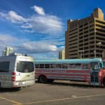
Neither of us wanted to drive the 24 miles back to our campsite after a night on Las Vegas so we booked ourselves into Circus Circus, the only RV park with walking access to the ‘Strip’. It was a parking lot but we didn’t plan to stay in the van for long. We found ourselves next to a pink converted school-bus which turned out to be the mobile home of the band ‘Let’s Be Leonard!‘ They seemed a friendly bunch and, fortunately for us, didn’t have a band practice that night.
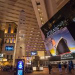
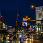
From Cheryl: The Tauber family had been to Vegas quite a bit back in the 70s, and that was the last time I was there.  As he had no other hobbies, my father liked to gamble (it was his adult Disneyland, he always said) and so very often was the resident doctor on call at the Rivera Hotel (hotel was imploded in 2016). I remember days by the pool and the amazing night time entertainment. I remember my father speaking to the ‘pit bosses’, then walking us Tauber kids to the front tables of the show room, complimentary tickets for such top acts as: Elvis, Dean Martin, Frank Sinatra, Liberace, Don Rickles, Debby Reynolds, Tony Orlando & Dawn, Diana Ross & the Supremes, Cher, and Barbra Streisand. We experienced so much of Vegas, at the Rivera as well as other hotels, where anatomy lessons were included, for example: The Folies Bergère. So I wanted Colin to experience the general craziness, a topless show, and the
  massive scale of gambling that is Las Vegas. Neither one of us put money in the slots or on the tables, but we were amazed at the number of people betting on getting something back from their hours of ‘toil’. So we walked the Strip and I decided to ‘treat’ Colin to a risqué dinner spot and show. Our waitress was beautiful, a fun lady even if the outfit was a bit drafty in the behind. I admit I loved her tush as much as Colin did so I told her how exquisite she was; no other motives, really! We also took in a topless show which had music, dancing and a comedy act. Well past our usual bedtime, we headed back to our Circus Circus RV bed for the night. The next morning, leaving the crowds of people behind, both of us breathed a sigh of relief as we headed into the desert for more touring.
Click on any thumbnail below to see larger image gallery.
- Sunrise over Lake Mead
- Sunset lighting up the mountains
- View from our campsite
- Our ‘Parking Lot’
- Cheryl’s new hat
- Our gorgeous waitress
- Rear view
Click on map below to see larger version
Downtown Las Vegas
