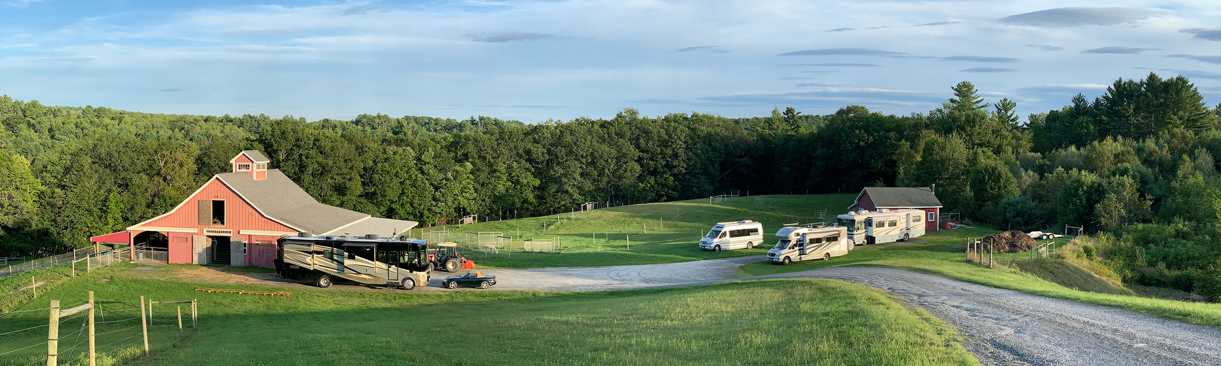
Our next two campsites were through Harvest Hosts, a camping scheme which we joined this year. The hosts are often owners of working farms, breweries, or wineries. 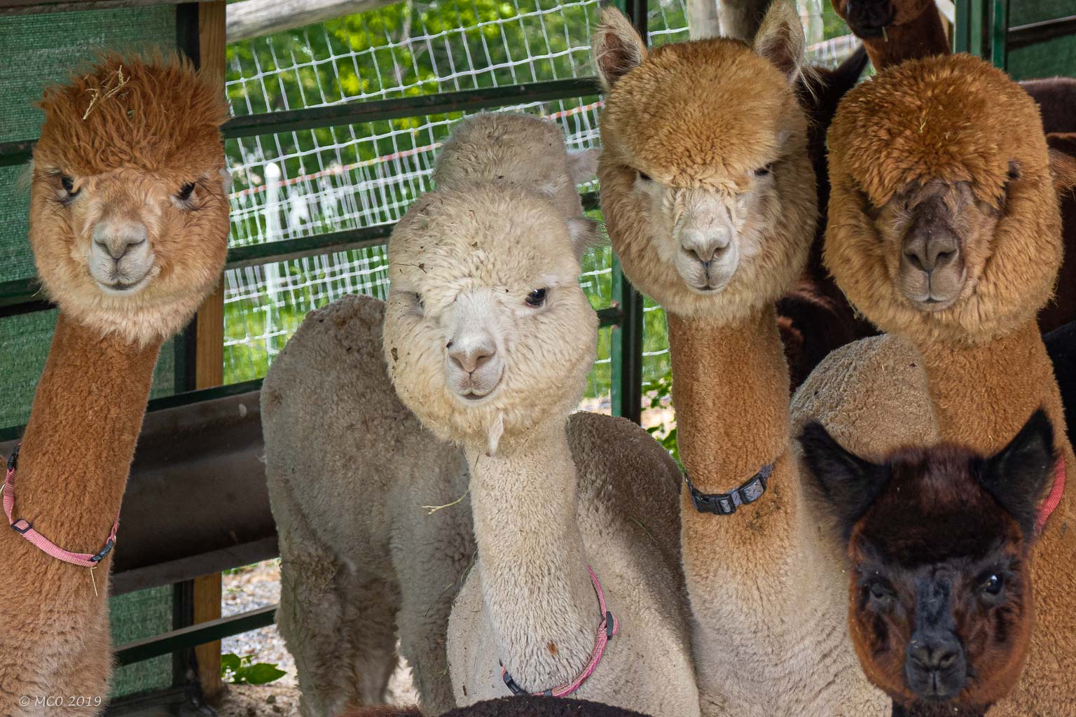 They offer free overnight parking to RVs and in exchange, hope that visitors might purchase items from them.
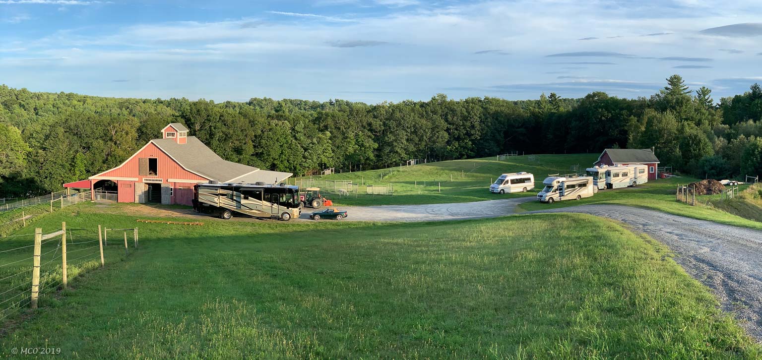
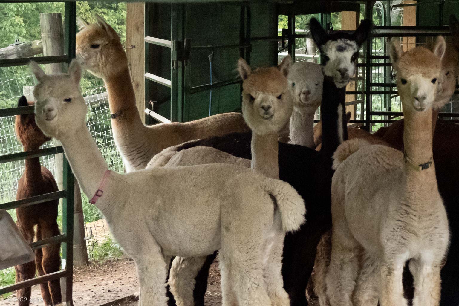
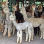
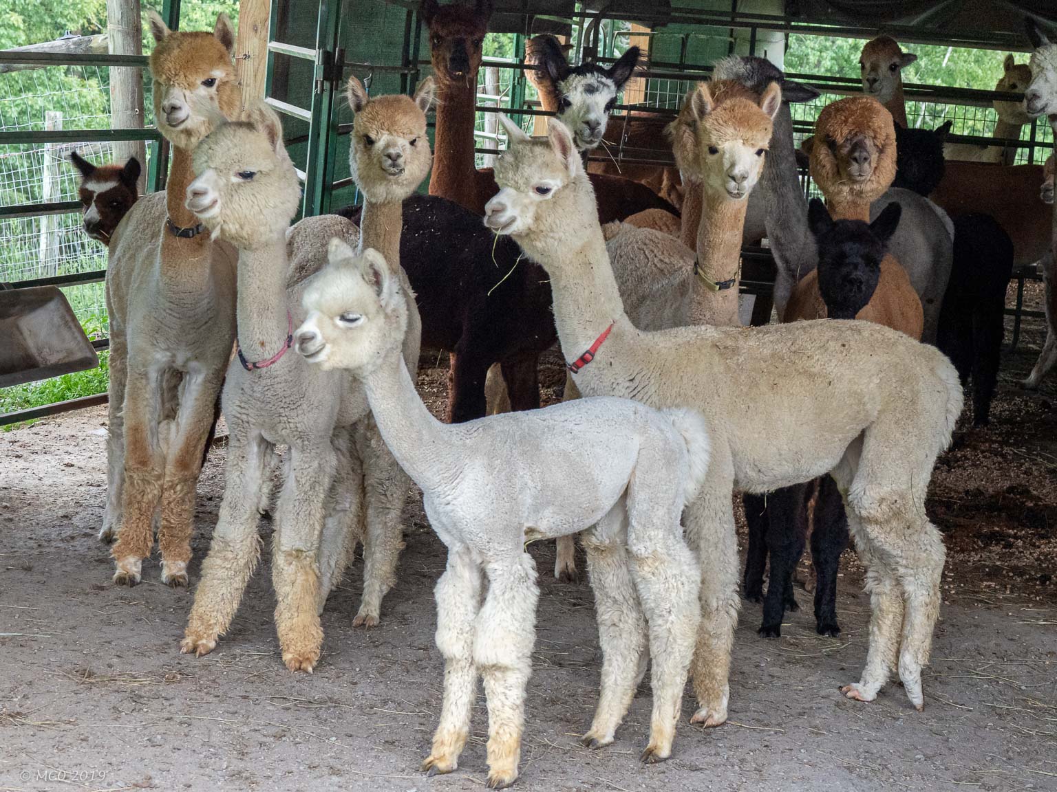
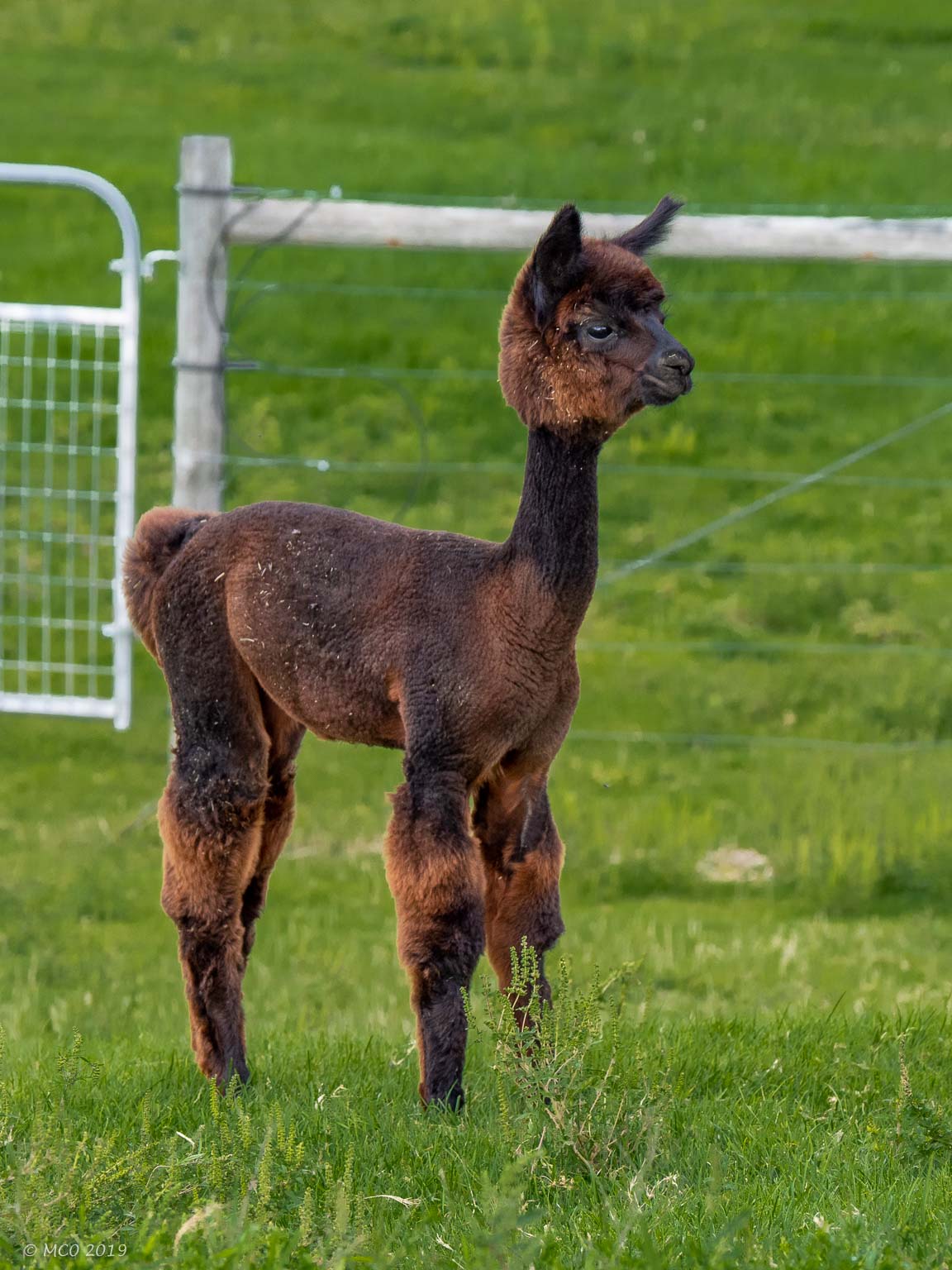
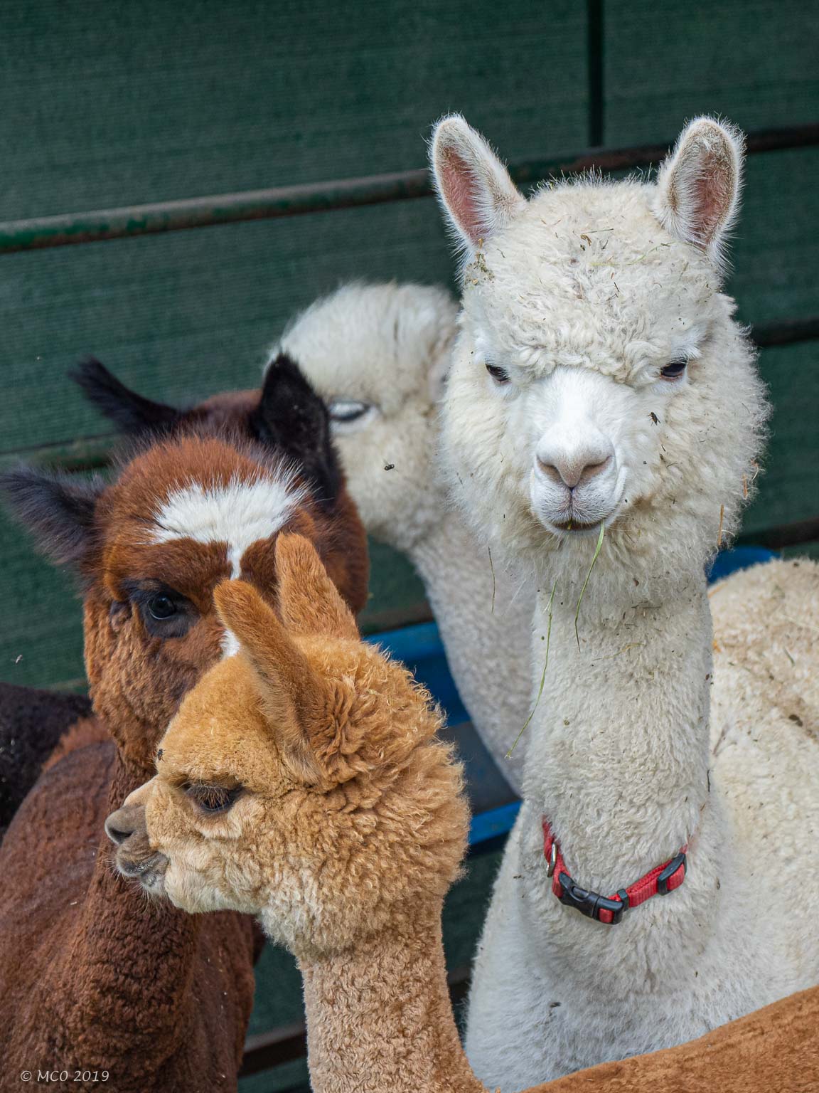
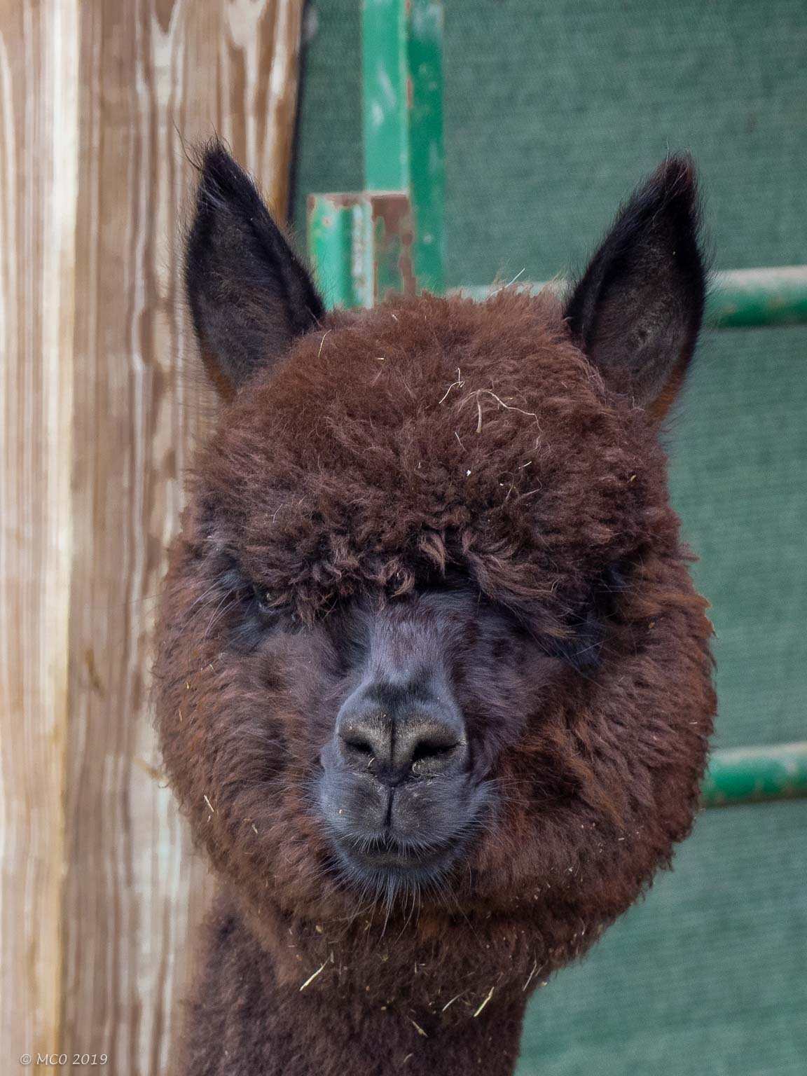
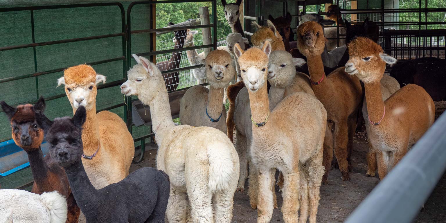
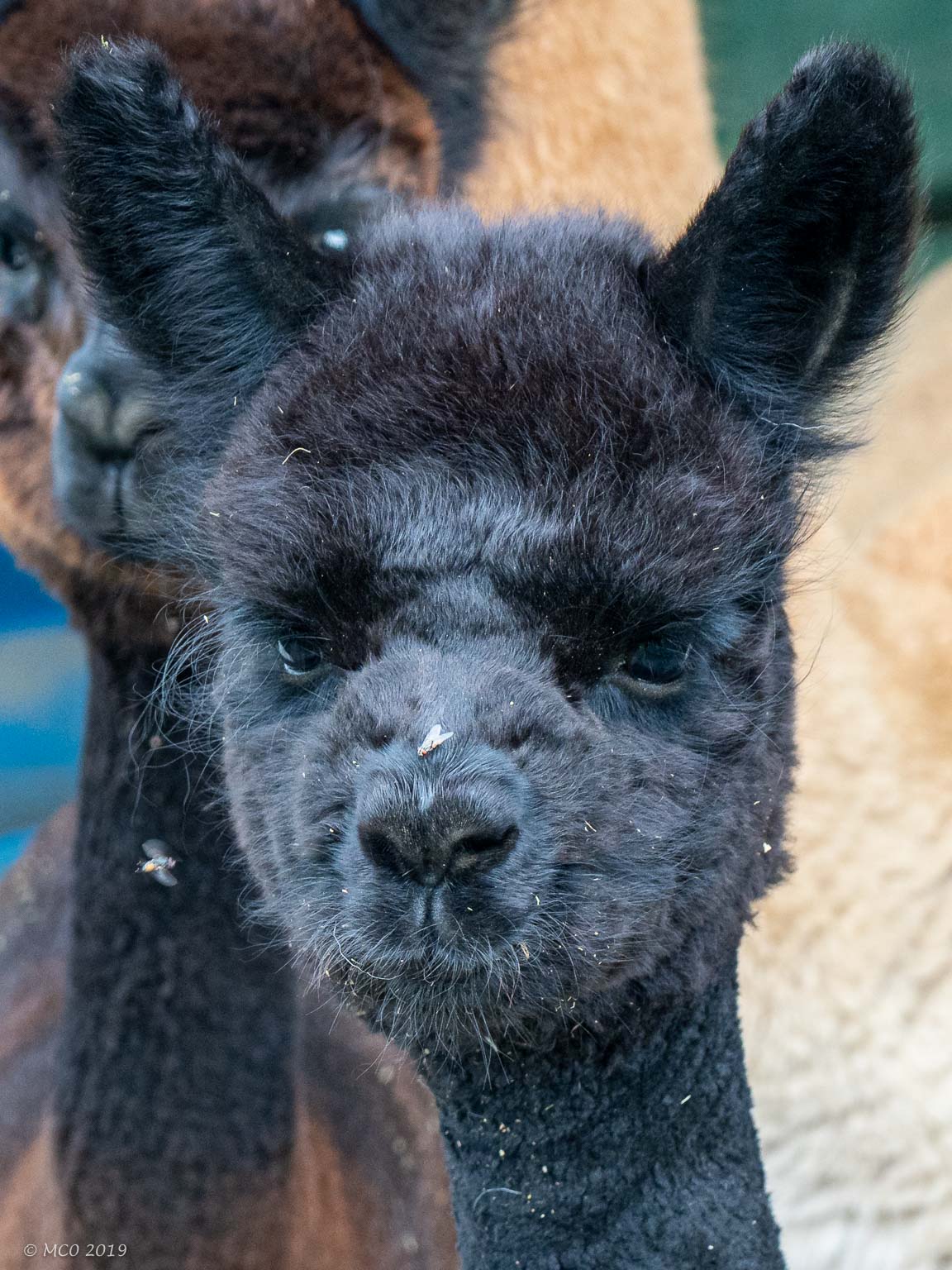
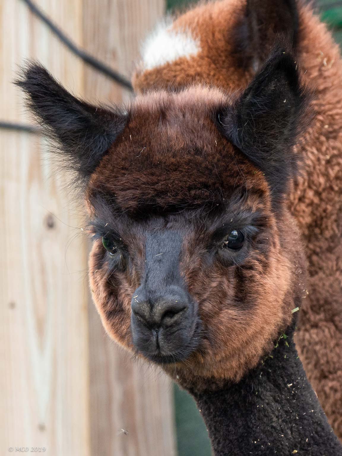
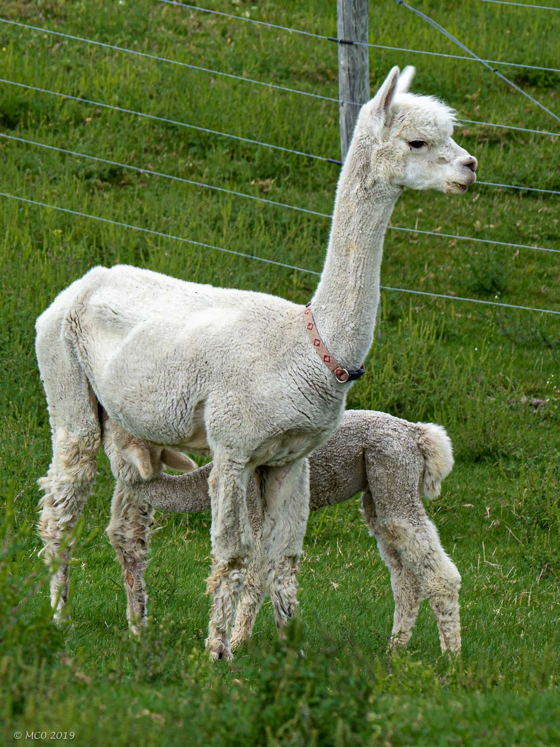
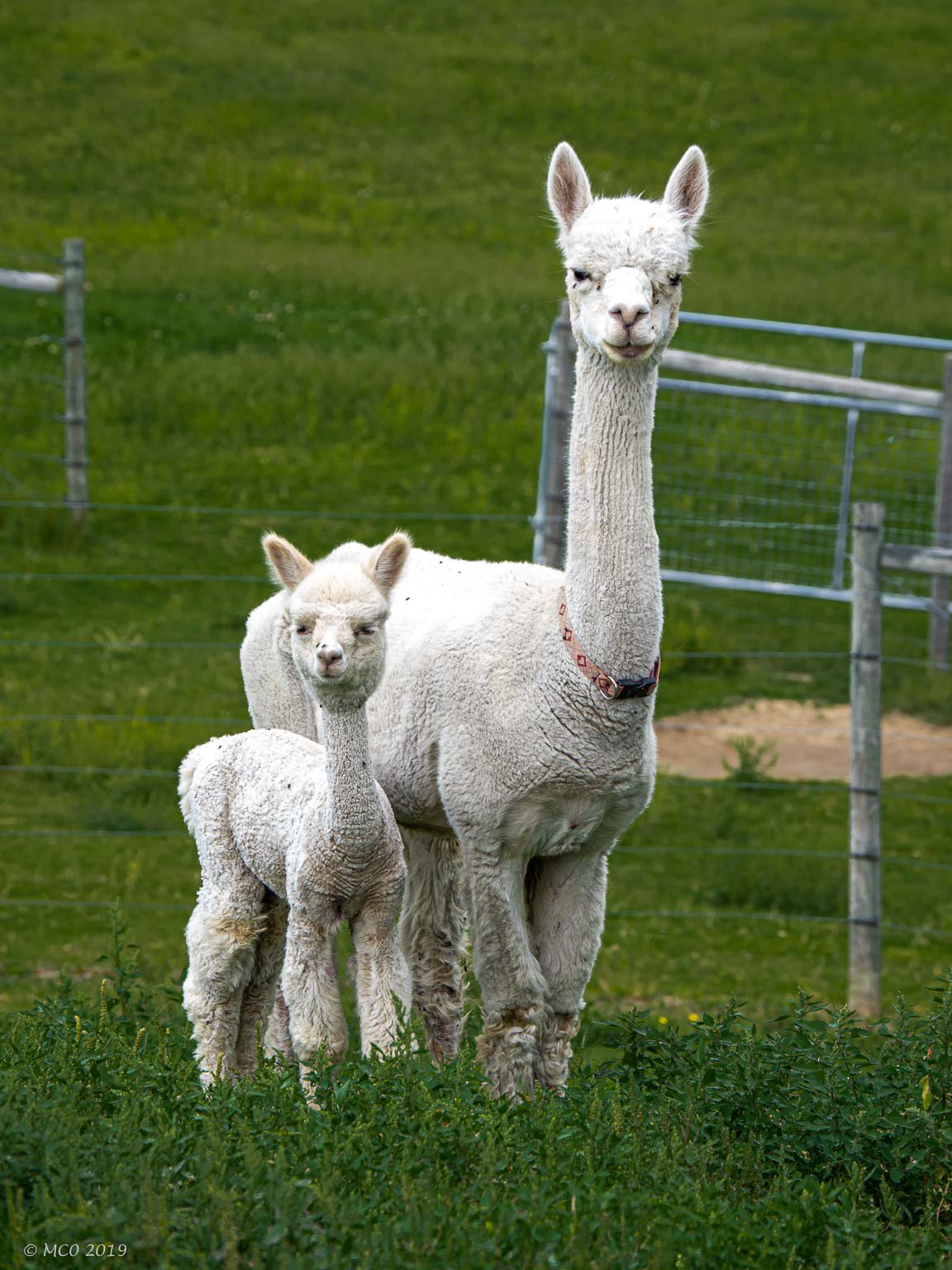
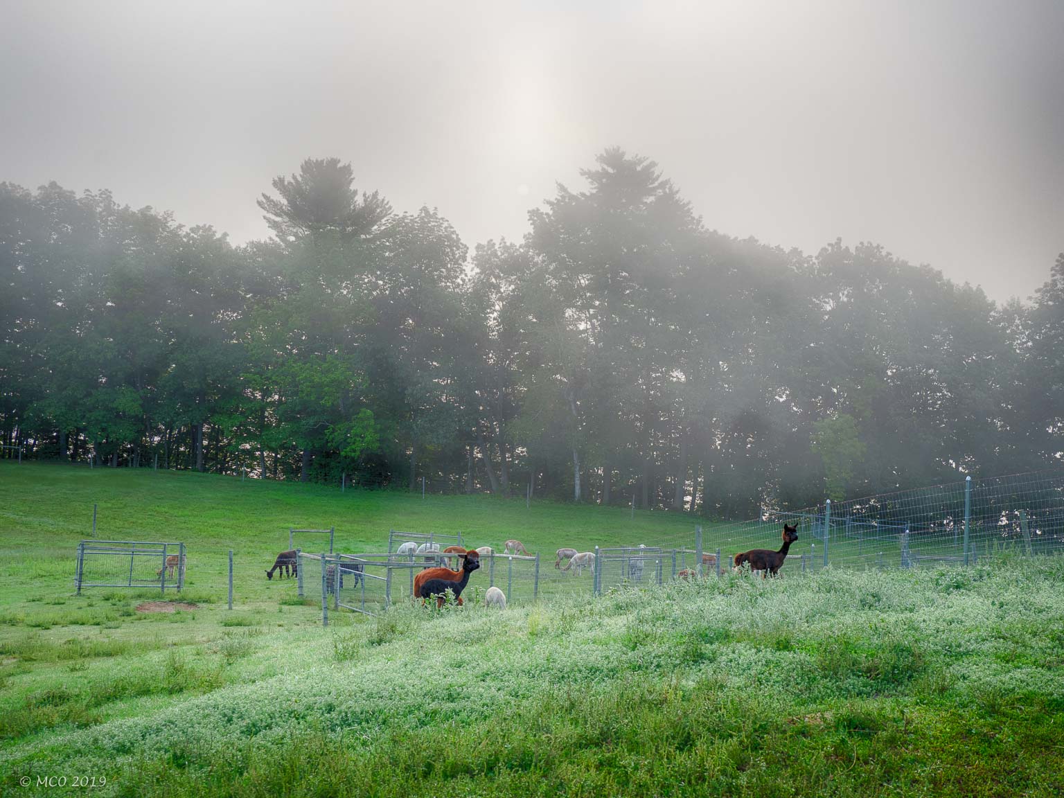
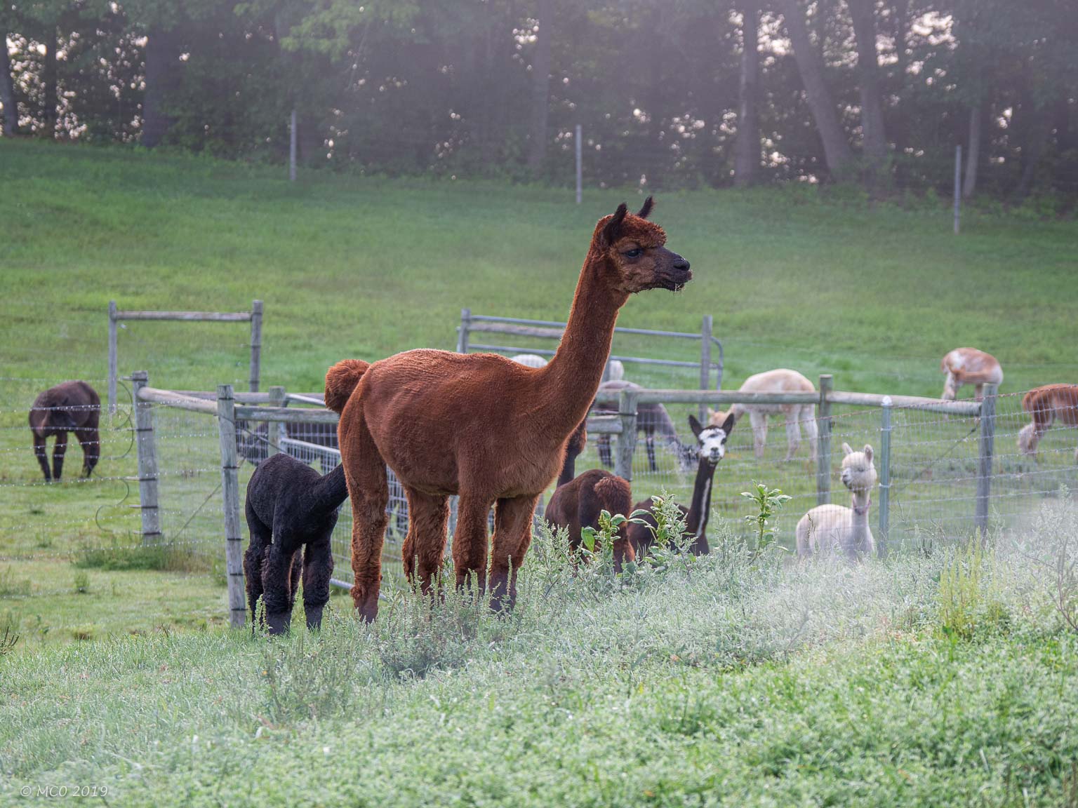
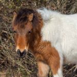
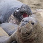
On August 31st, we arrived at the Misty Acres Alpaca Farm in Sidney, North of Augusta. What a hoot to see these creatures, some shaved, some not, and looking like a welcoming committee of ETs. When we sent a picture of them to our neighbor Frank, he swore he could see one of his relatives in the group. The alpaca’s were pretty skittish around people and in particular, Bindi. But over time they realized none of us would harm them and they went about their business of eating grass and running in their fields. The farm store wasn’t operating over the Labor Day weekend so we weren’t able to purchase an alpaca.
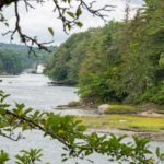
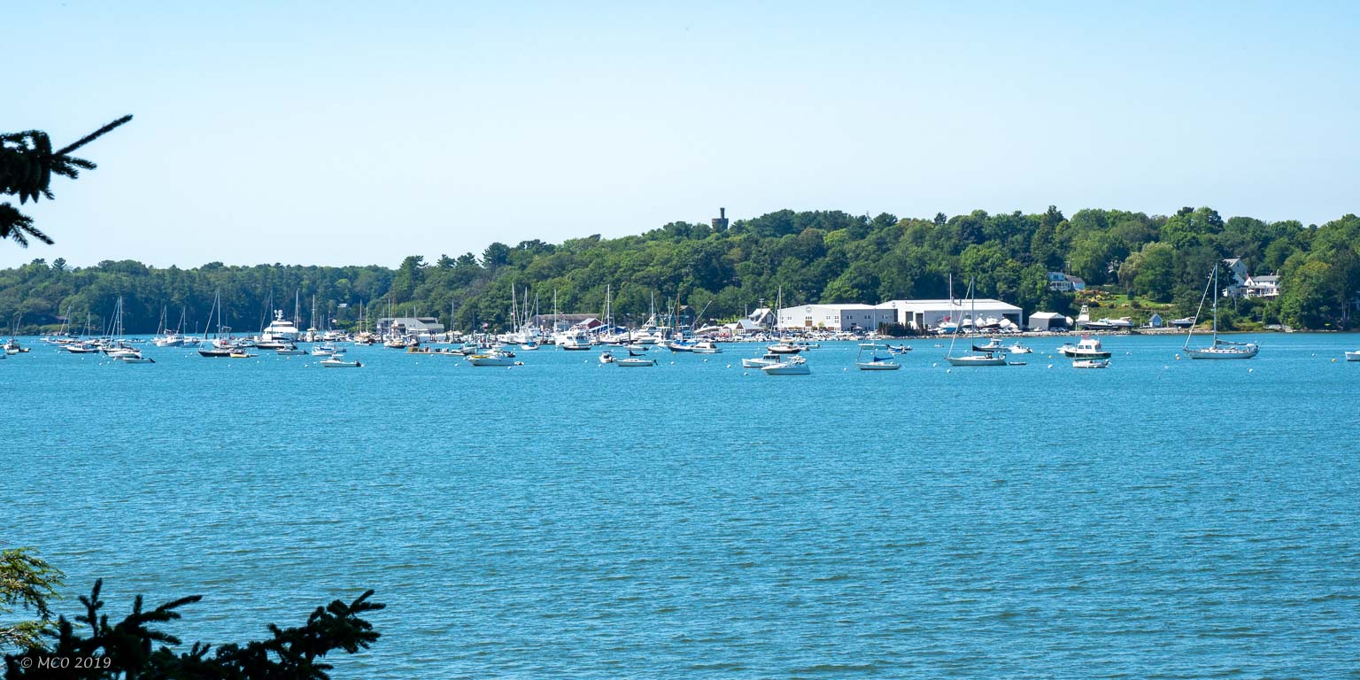
A day later, we camped at a brewery in Boothbay Harbor. Although open to our RV for parking, the brewery was closed for Labor Day. We didn’t get a chance to partake in their offerings that day, but we made it back a few days later and enjoyed their wood-fired pizza and beer.
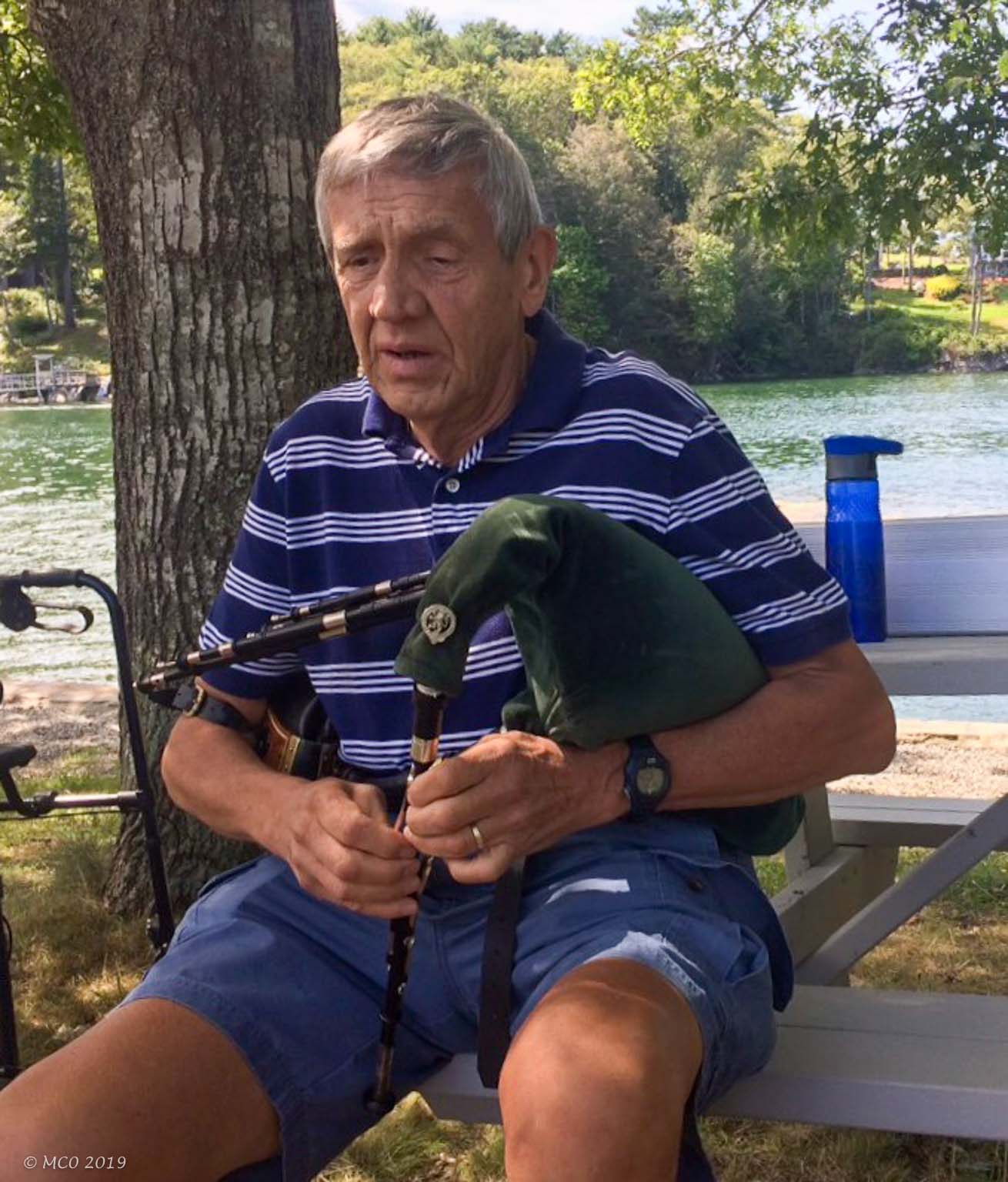
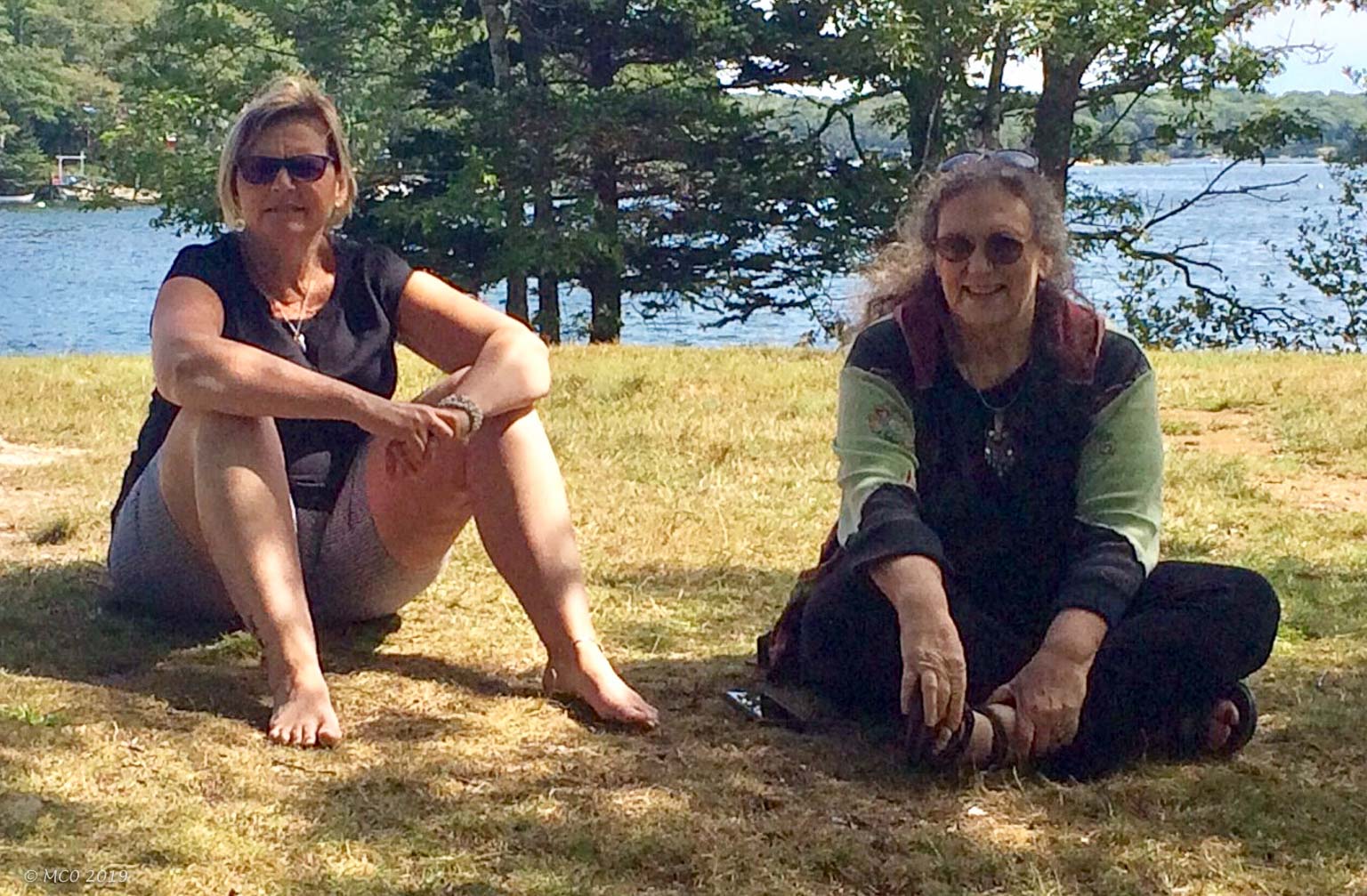
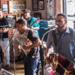
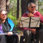
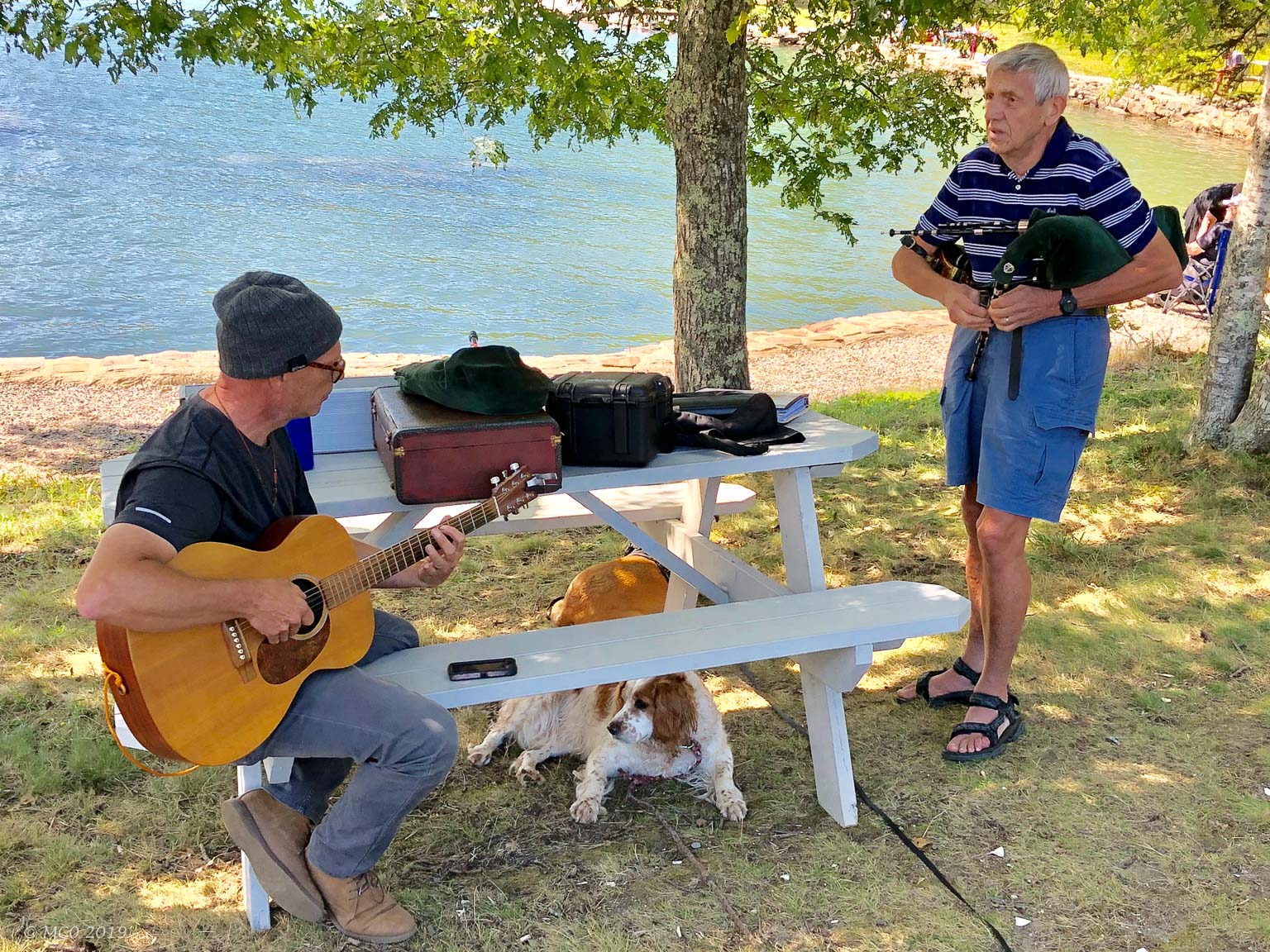 Some of you might remember that when we had our accident in Quebec, our friend Jesse came to our rescue, helping us negotiate the Quebequoise French at the hospital, hotel, towing company, and generally was our angel in our time of need. During the Labor Day weekend, Jesse and wife Diane sent us a text that they were in Maine and could we meet up?!? Wow, how fortuitous. So we made plans and agreed to meet for breakfast in Boothbay Harbor. We spent a lovely afternoon catching up on news and playing music together in the park. Our dogs, Bindi and Jesse’s Kimi became reacquainted too. How magical to spend time with these lovely people.
Click on any thumbnail below to see larger size image gallery.
-
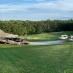
- Alpaca Farm
-
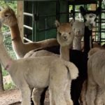
- Curious about us
-
- Posing for a picture
-
- Misty Acres
-
- Jesse’s RV next to MickMac
-
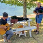
- Jesse and Colin, music in the park
-
- Diane and Cheryl
-
- On the road to Boothbay
-
- Maine fixah uppah
Click on map to show location detail
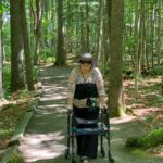
Some of you might remember that we were suppose to start our trip to the U.S. northeast, Quebec, Nova Scotia, and Prince Edward Island (PEI) in May 2019, “Best Laid Plans Rev. 2.” We had not only intended to go, we actually had left Annapolis and were on the trip for 1 week when we had an accident in Quebec. Sadly, we had to return home for recuperation and eventually, to purchase a new van to replace the one that became inoperative. We’ll skip the remaining physical problems (healing still in progress) and RV purchase and jump to the reinstallation of our travel story. Let’s move forward to August 25th when we left Annapolis and re-started our travels north.
Cola Bear, Bindi’s favorite toy
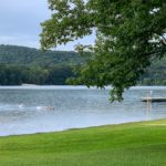
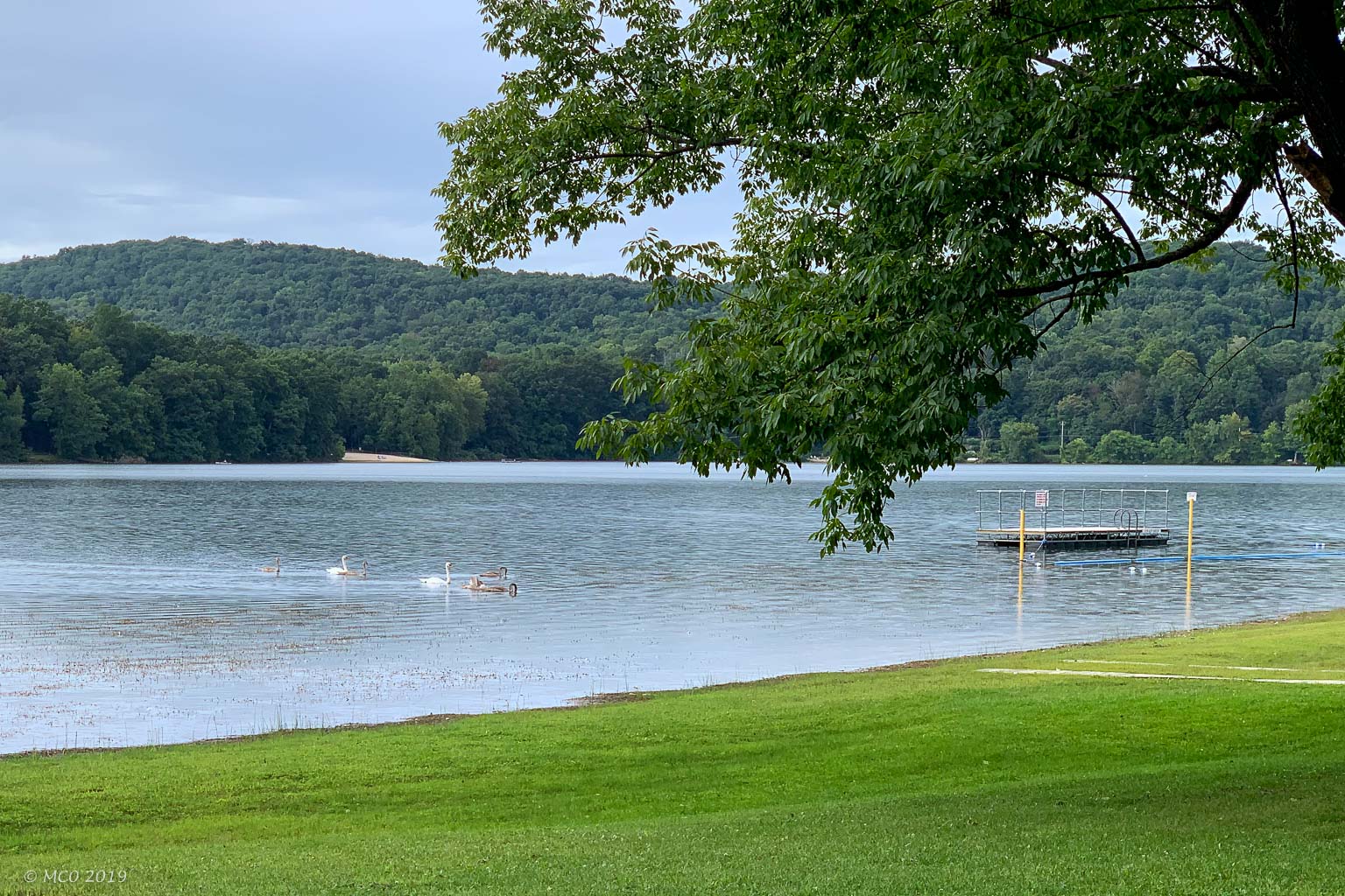
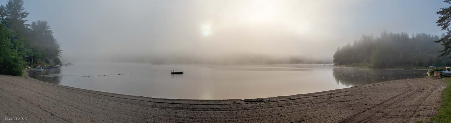
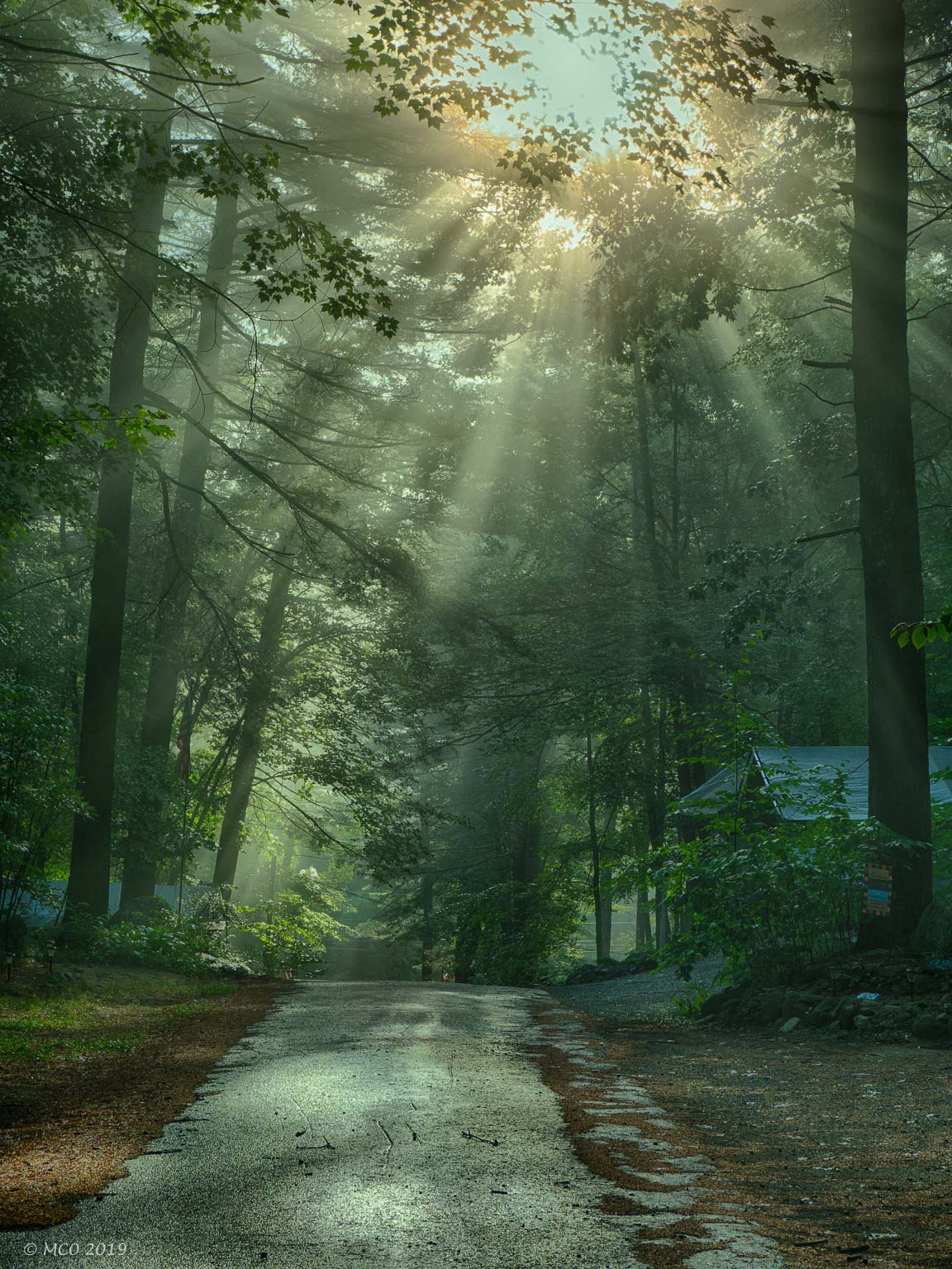
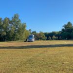
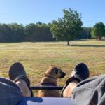
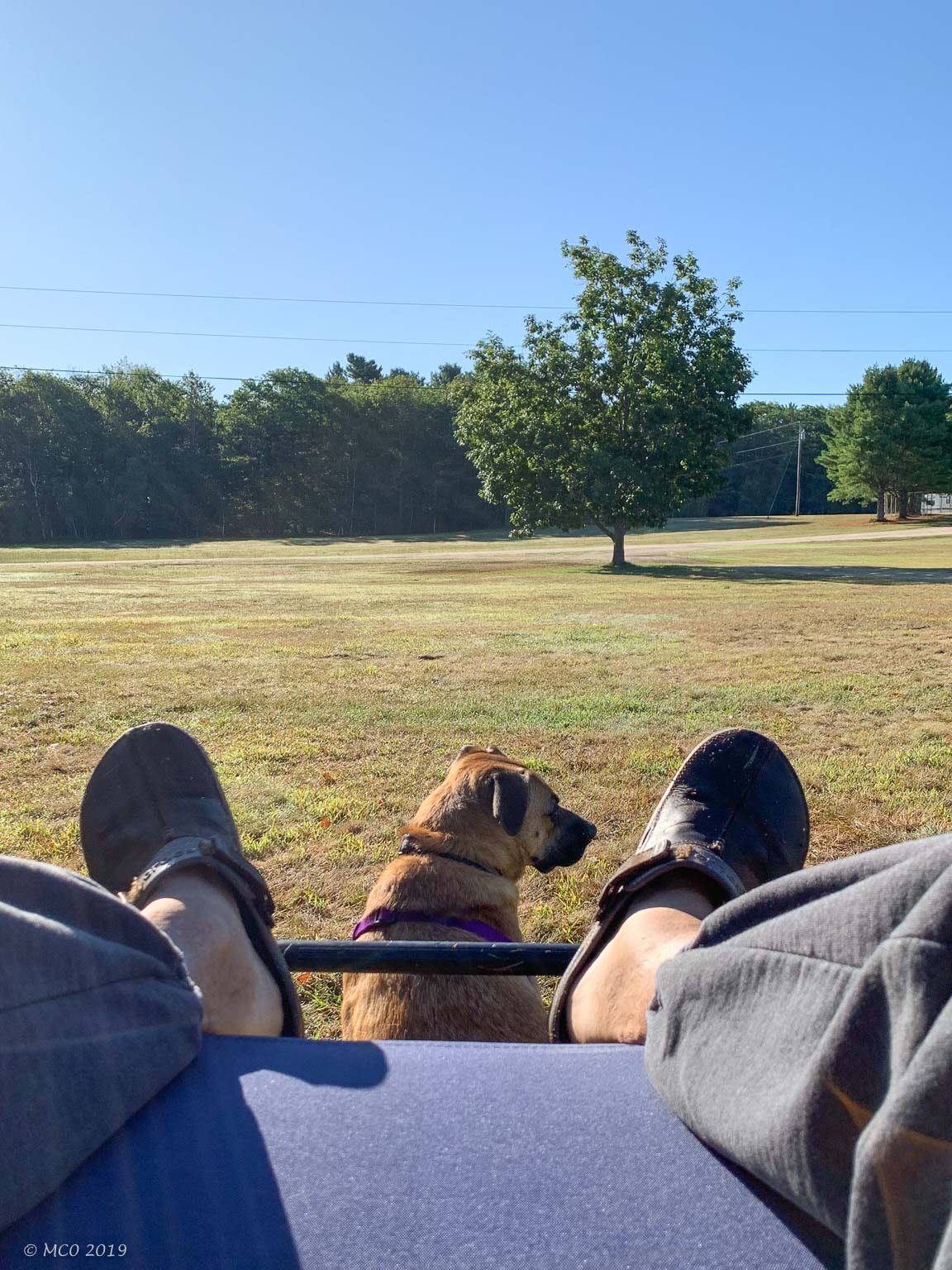
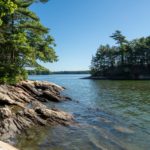
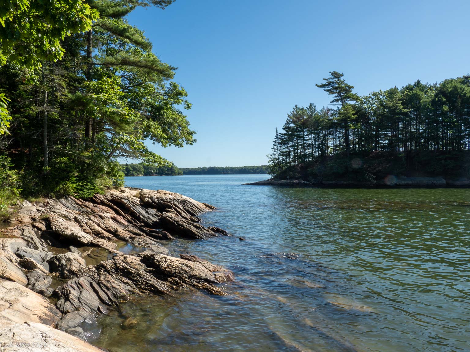
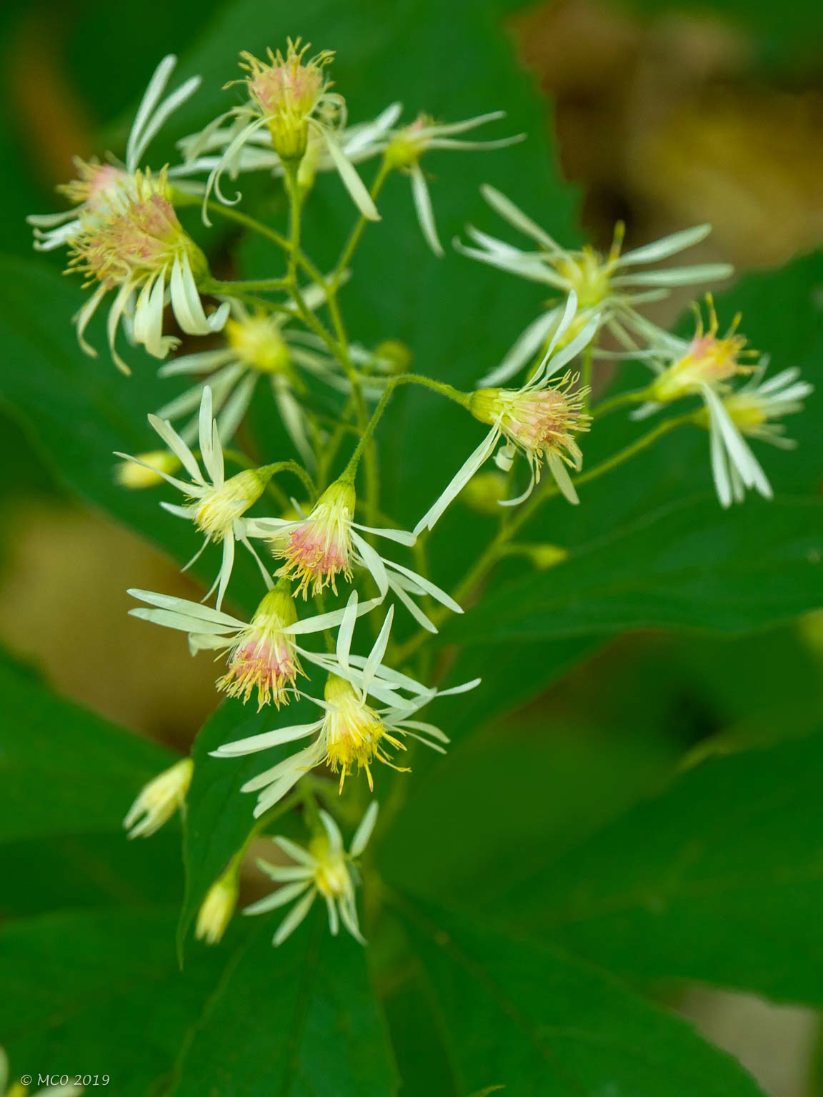
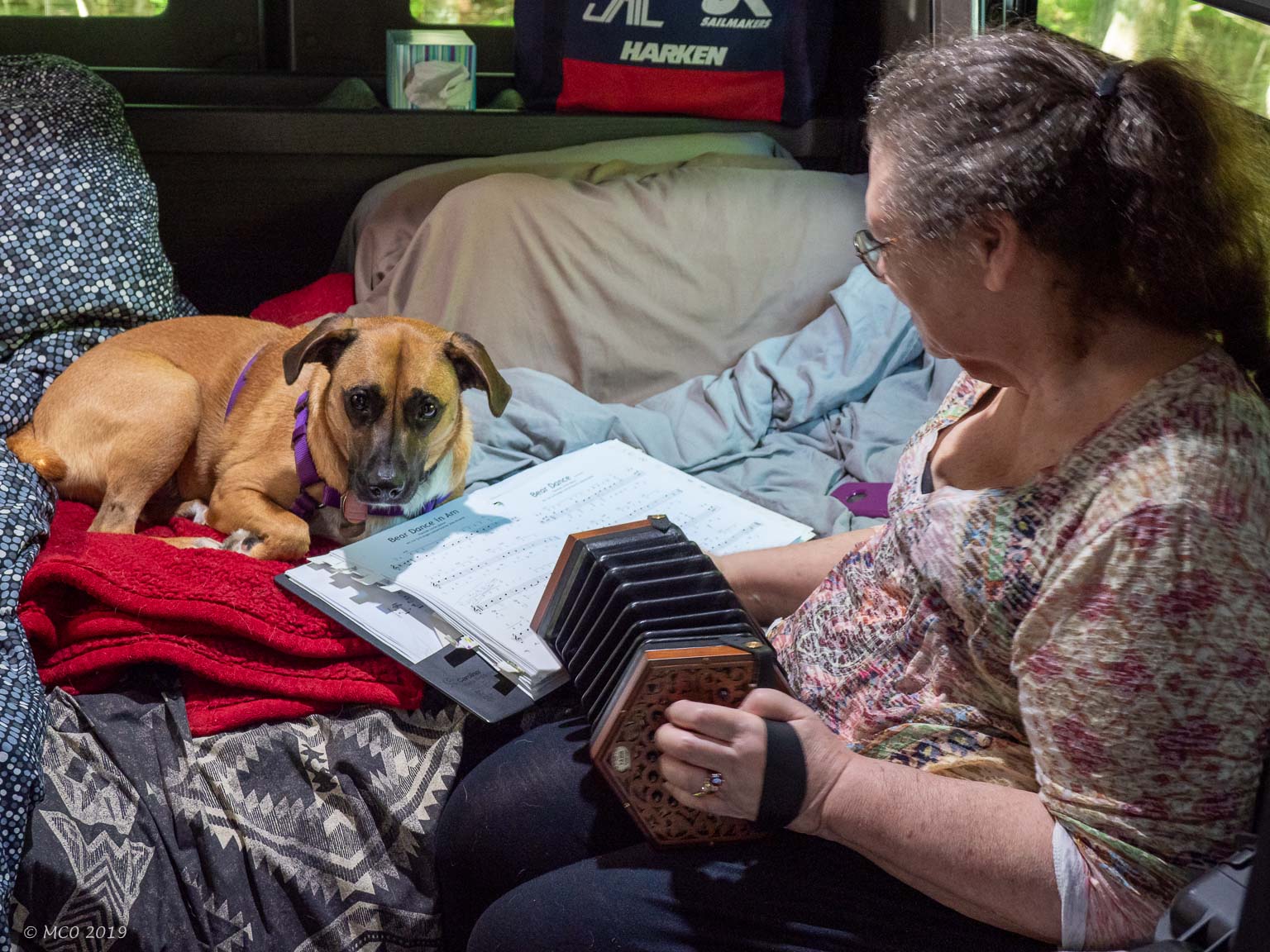
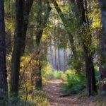
Our destination was a smaller attempt at the northeast because of the time of year. We had missed the summer window to visit Nova Scotia and PEI, so we decided to concentrate on Maine since neither of us had been there before. Because of some remaining physical limitations for Cheryl, we decided to travel at a slower pace than previous trips. Instead of the usual 4, 5, or 6 hours a day, we would only drive 3 hours taking our time to arrive in Maine. That meant we had time for music practice (with Bindi supervising), hikes, and naps. We stayed in parks in Pennsylvania (Quaker Woods), New York (Sylvan Lake, a beautiful regional park), and New Hampshire (Forest Lake Campground, an old but quaint mainly residential site campground) before arriving at the White’s Beach and Campground near Brunswick, Maine. White’s beach was spacious and it was Labor Day weekend so we were pleased to have a roomy site. However we decided to explore and visited Wolfe’s Neck State Park on the ocean for some typical coastal Maine scenery. The weather was (fortunately) cooler than what we left in Maryland – so perfect for Colin and Bindi to go for a hike around the park and along the coastline.  Bindi was on a long lead and, as usual took her position as trailblazer plowing ahead of Colin. She seems to have no fear of heights and came dangerously close to the edge overlooking the ocean. Colin made a grab for Bindi, the camera fell and managed to take a photo as it landed. It was only after going over the day’s pictures, that we realized the camera had taken a picture of Bindi at the precipice.
Click on any thumbnail below to see larger size image gallery.
-
- Back on the Road
-
- Sylvan Lake, NY
-
- Private home on Sylvan Lake
-
- Cola Bear, Bindi’s Fav
-
- Forest Lake, NH
-
- Upon reflection . . .
-
- Whites Beach Campground
-
- A Zen Moment
-
- Wolfe’s Neck Woods SP, ME
-
- On the Precipice
-
- Hard work but having fun
-
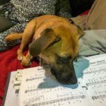
- Bindi checking for wrong notes
-
- Freeport B&J’s
-
- Freeport Parking
-
- White’s Beach Lake
-
- Taking Off
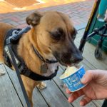
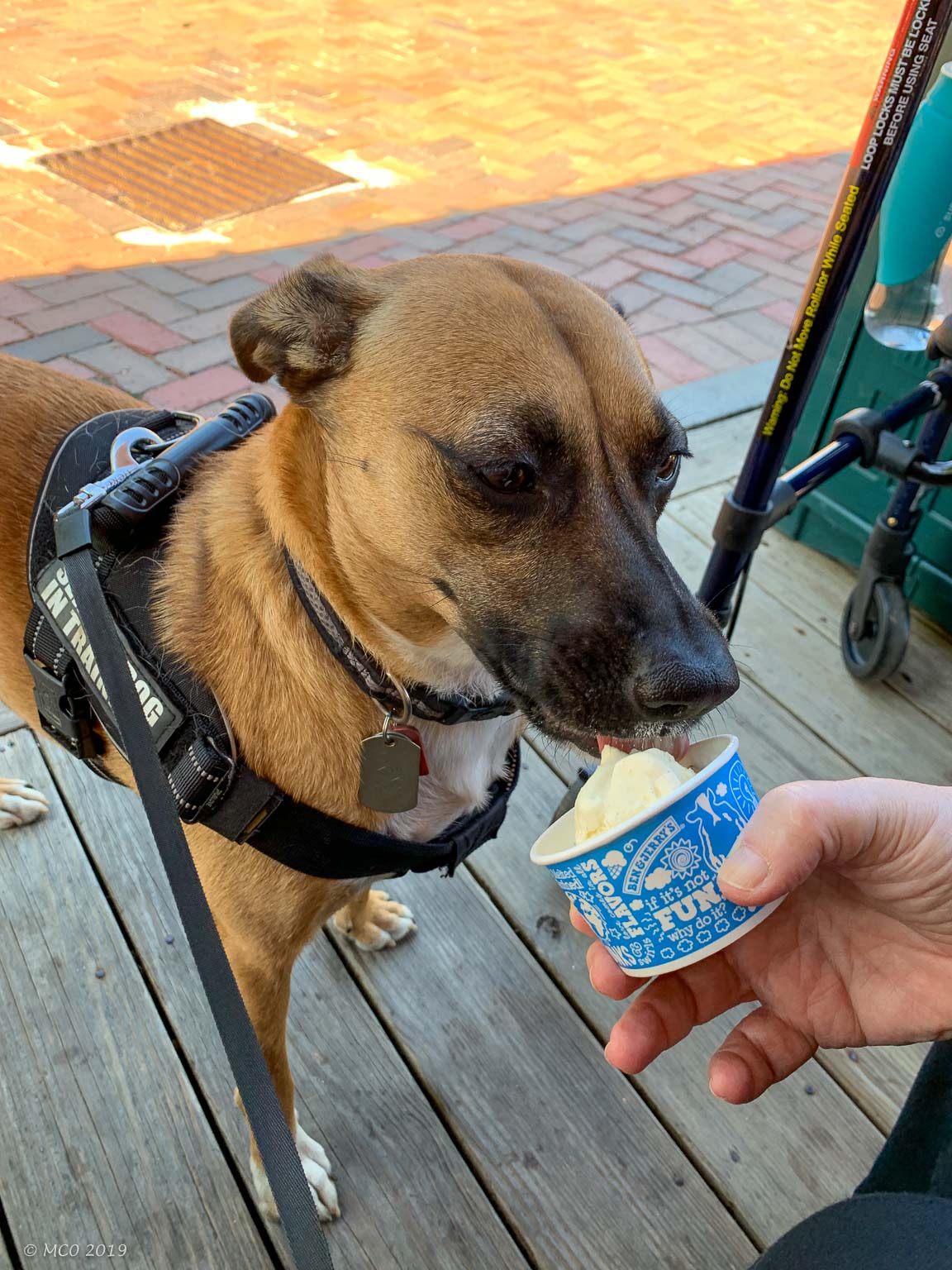
No visit to the Brunswick area is complete without a visit to the ‘city’ of L.L.Bean: Freeport. We walked, shopped, and treated ourselves to ice cream at Ben & Jerry’s, including a vanilla cup for Bindi.
Many people I have spoken to about my trip have questions and misconceptions about Singapore so here’s a brief introduction.
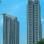
The word ‘Singapore’ is used to denote both the country and the city. It is a separate independent country located on an island approximately 35 x 15 miles, close to the Southern tip of the Malaysian Peninsular. It’s connected to Malaysia by two bridges and there are full customs and immigration checks on both sides of the bridges. The city is concentrated in the mid-south of the island where there are many high-rise buildings, malls, hotels and tourist attractions. The rest of the island, although well-populated, contains much green space, including National Parks, public gardens, etc.
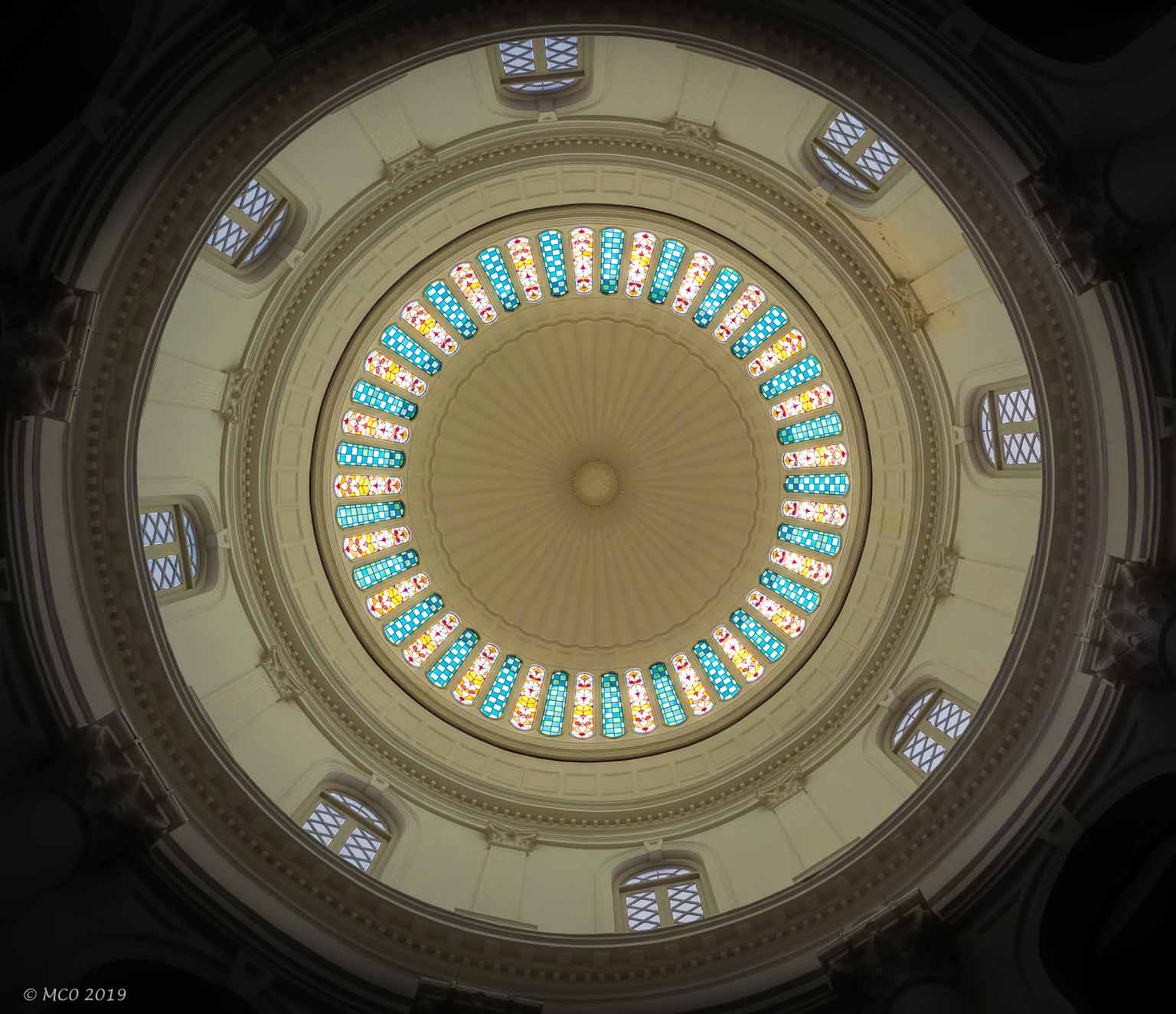
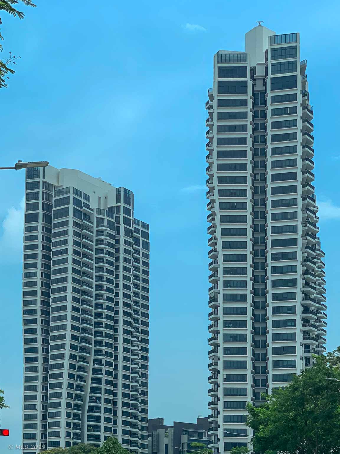
Dome inside National Museum
The history of Singapore is fascinating as I discovered visiting the National Museum. Ideally located on the trading routes between India and China, it came under the rule of the Malacca Sultanate of Malaysia. After the Portuguese invasion of Malacca in 1511 the Sultan was forced south where he created the Johor Sultanate. The settlement on ‘Cingapura’ (as it was then known) was destroyed by the Portuguese in 1611. In 1819, Sir Stamford Raffles arrived from Britain with the purpose of establishing a trading base. This was to compete with the Dutch who had a virtual monopoly on trade, particularly opium, between India and China. After some political maneuvering and an exchange of dollars, the British were able to establish a duty free trading port on the island of Singapore. This was tremendously successful, population grew rapidly with Chinese and Indian immigrants; and trade in opium was augmented by trade in rubber and tin.
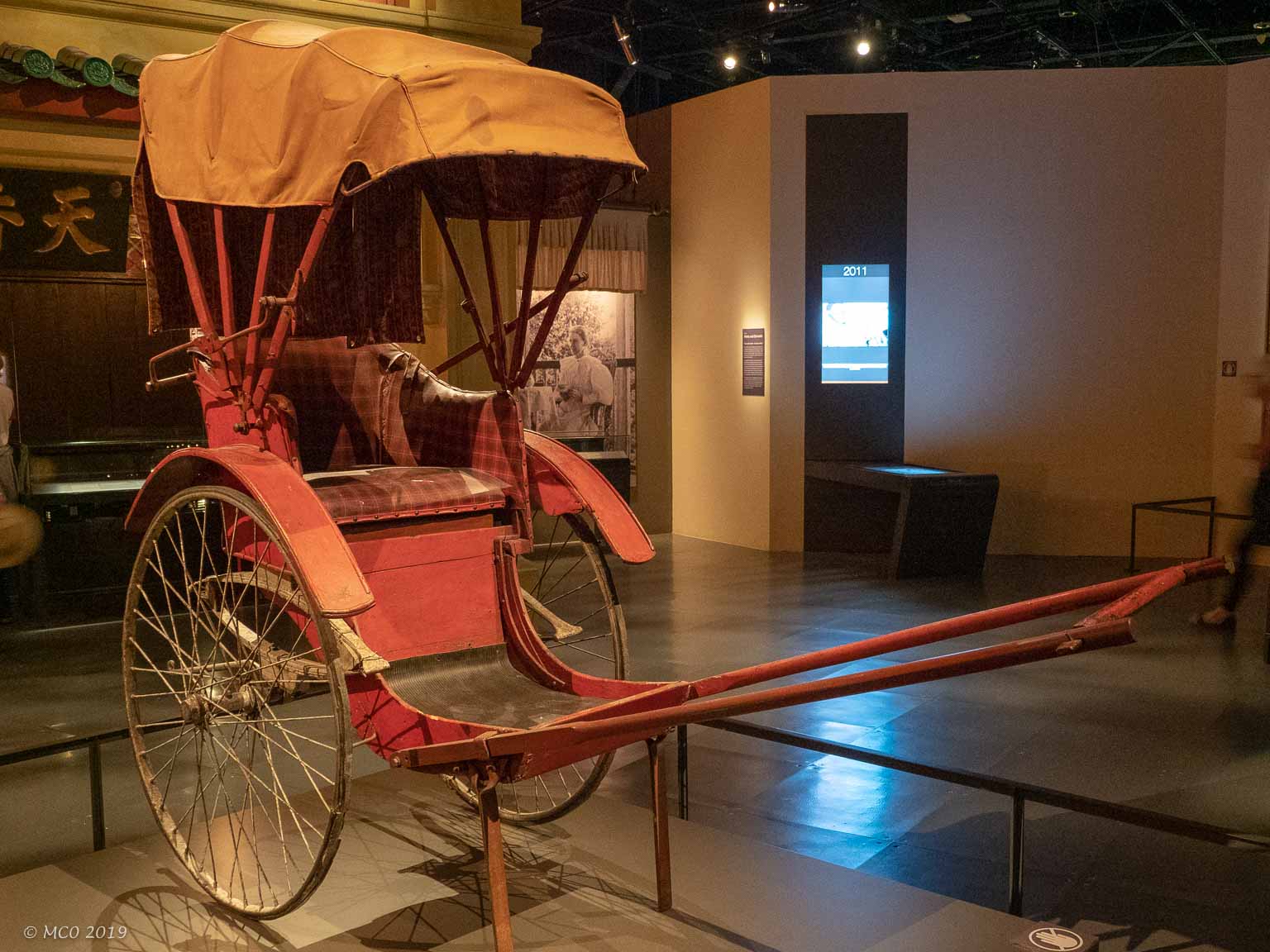
Rickshaw
With growth came many social problems worsened by ineffective management. Singapore was established as a Crown Colony in 1867 to attempt to bring these problems under control but despite this, problems of overcrowding, opium abuse, and prostitution persisted. After WWI, the British built a substantial Naval Base on the island to guard against the expansion of the Japanese Empire, but failed to equip the base with more than a couple of ships. After Pearl Harbor (December 1941), Japanese ‘jungle-hardened’ troops over-ran the Malaysian Peninsula from the north in 55 days. Naval reinforcements were sunk on their way from England and so with inadequate air and sea power, the British Army surrendered to the Japanese from an underground command center (known as the Battlebox) in February 1942. The Japanese imposed a harsh rule, persecuting particularly the Chinese population, destroying the majority of the infrastructure until the island was turned over back to British Rule, following the Japanese surrender in August 1945.
With the failure of the British to defend Singapore, the Singaporeans had lost faith in foreign rule and over the next ten turbulent years, Singapore evolved to self governance. This culminated in the first full election in 1959 when the Peoples Action Party (PAP), formed mainly of ethnic Chinese, scored a large victory. Reconstruction was begun with an emphasis on housing, education and business, beginning the evolution of modern day Singapore. English was chosen as Singapore’s first language, tax incentives instituted to encourage foreign investment, and education was given priority to create the skilled workforce necessary to promote growth. Singapore’s government has been considered authoritarian, particularly in its early years and the PAP has maintained its power with the help of some strict rules discouraging dissent. The country’s phenomenal economic success was studied by the Chinese and became a model for China’s recent economic growth.
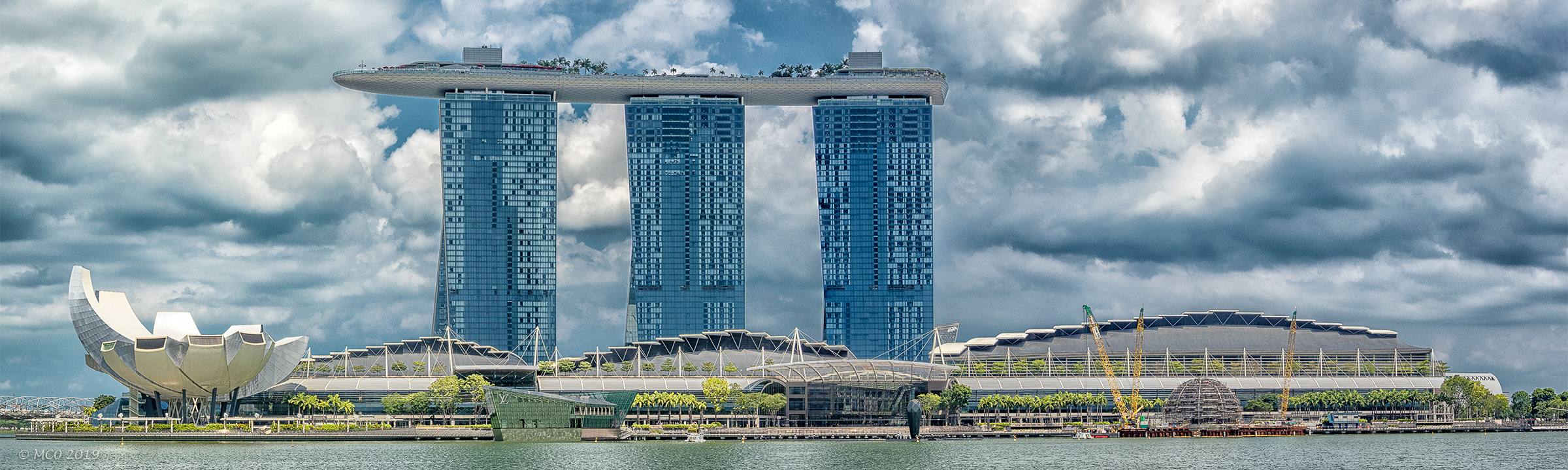
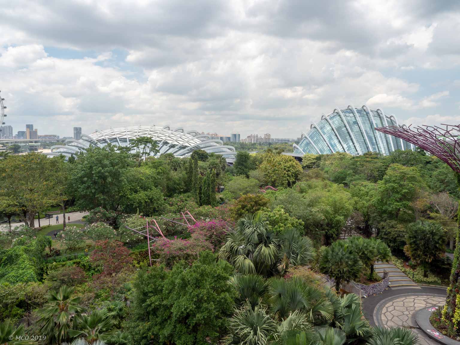
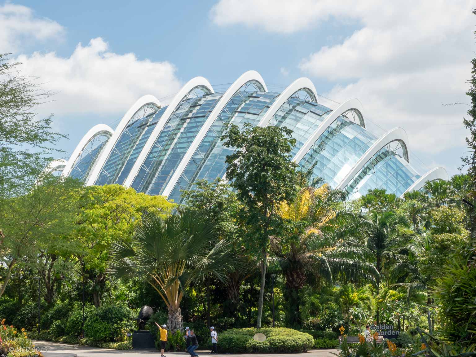
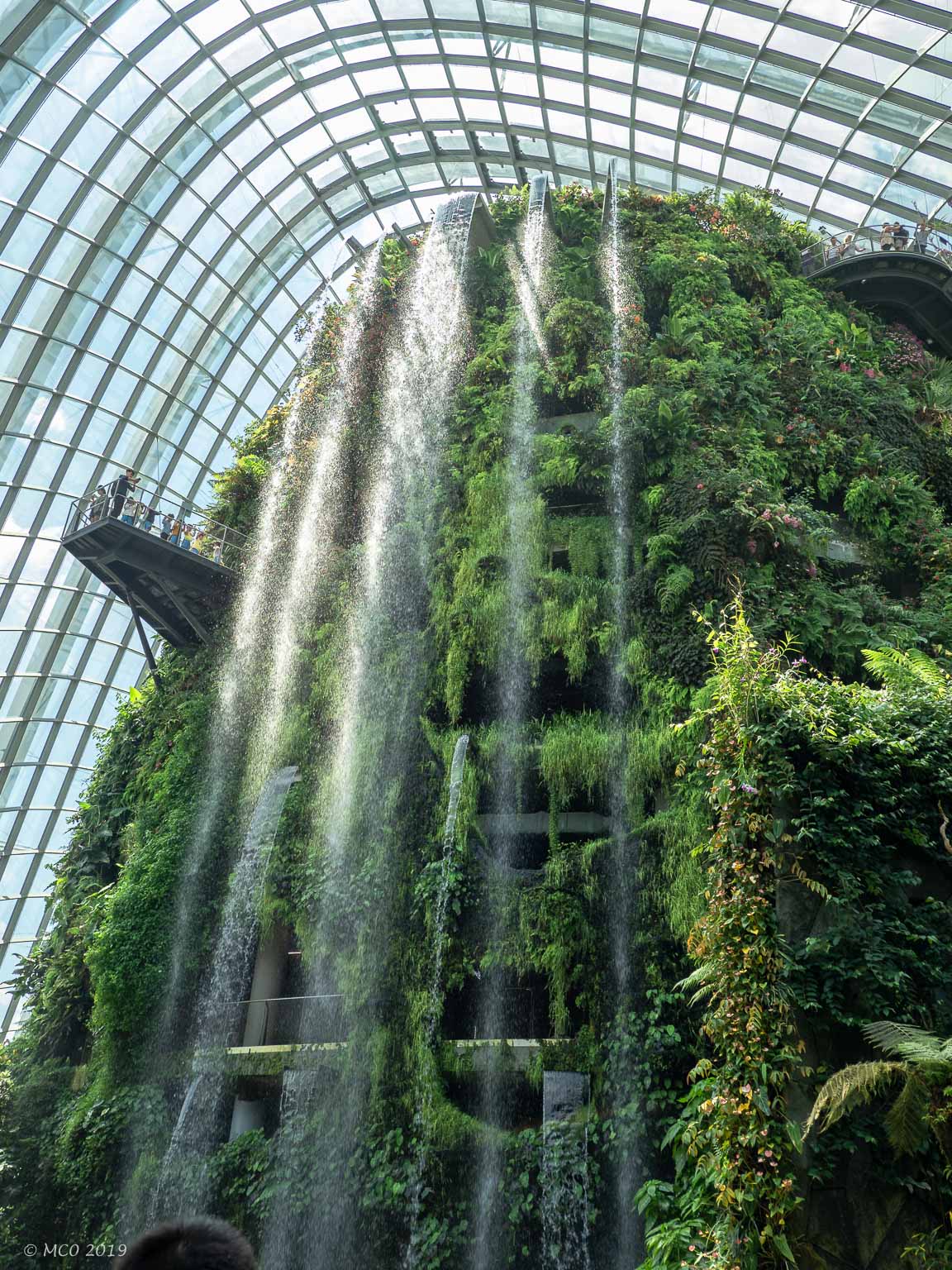
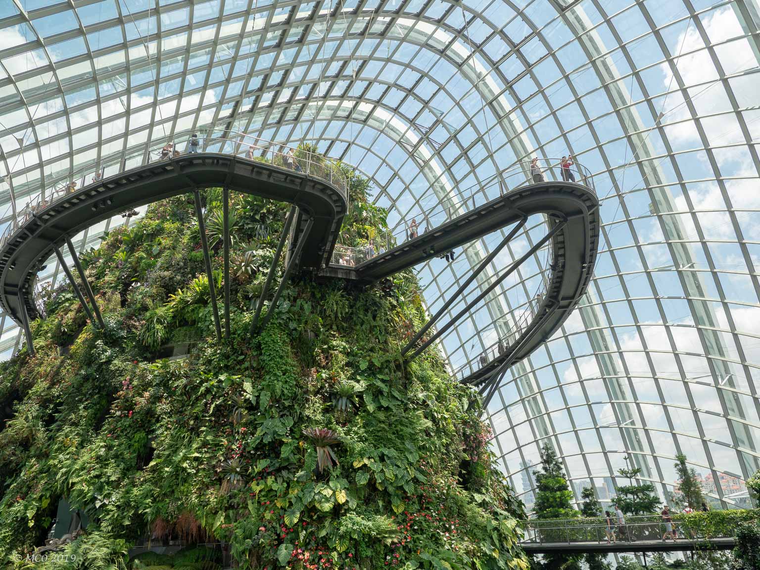
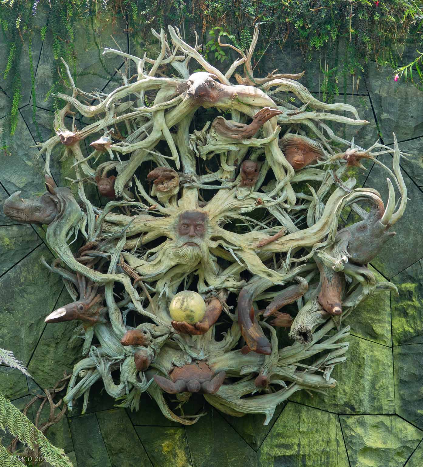
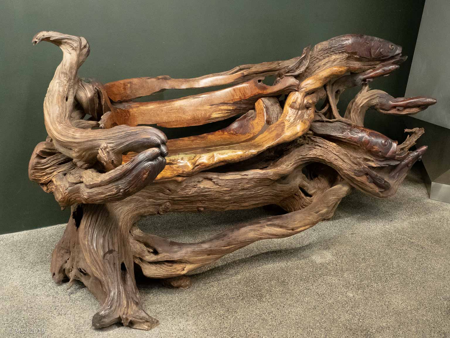
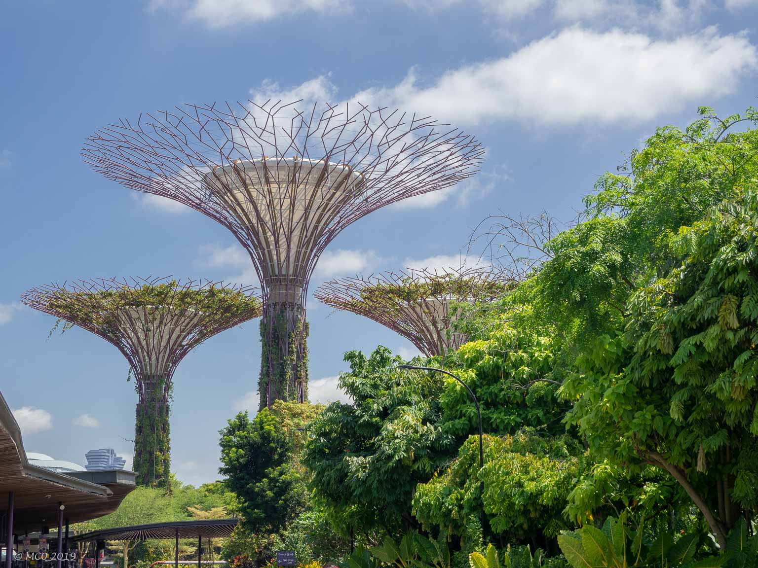
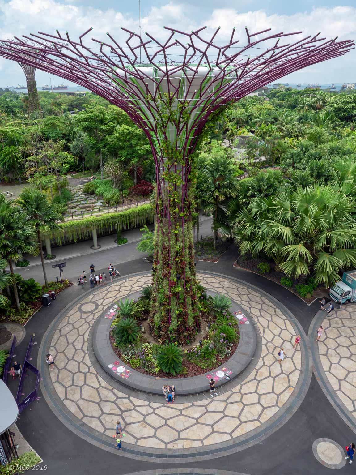
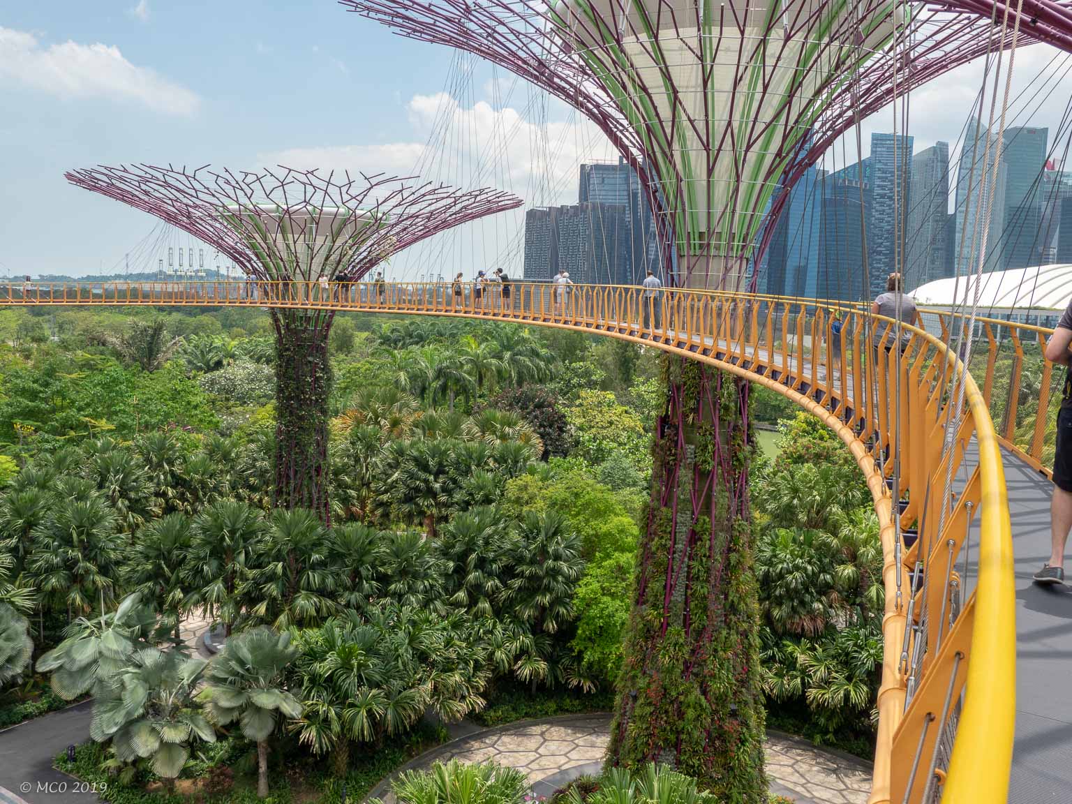
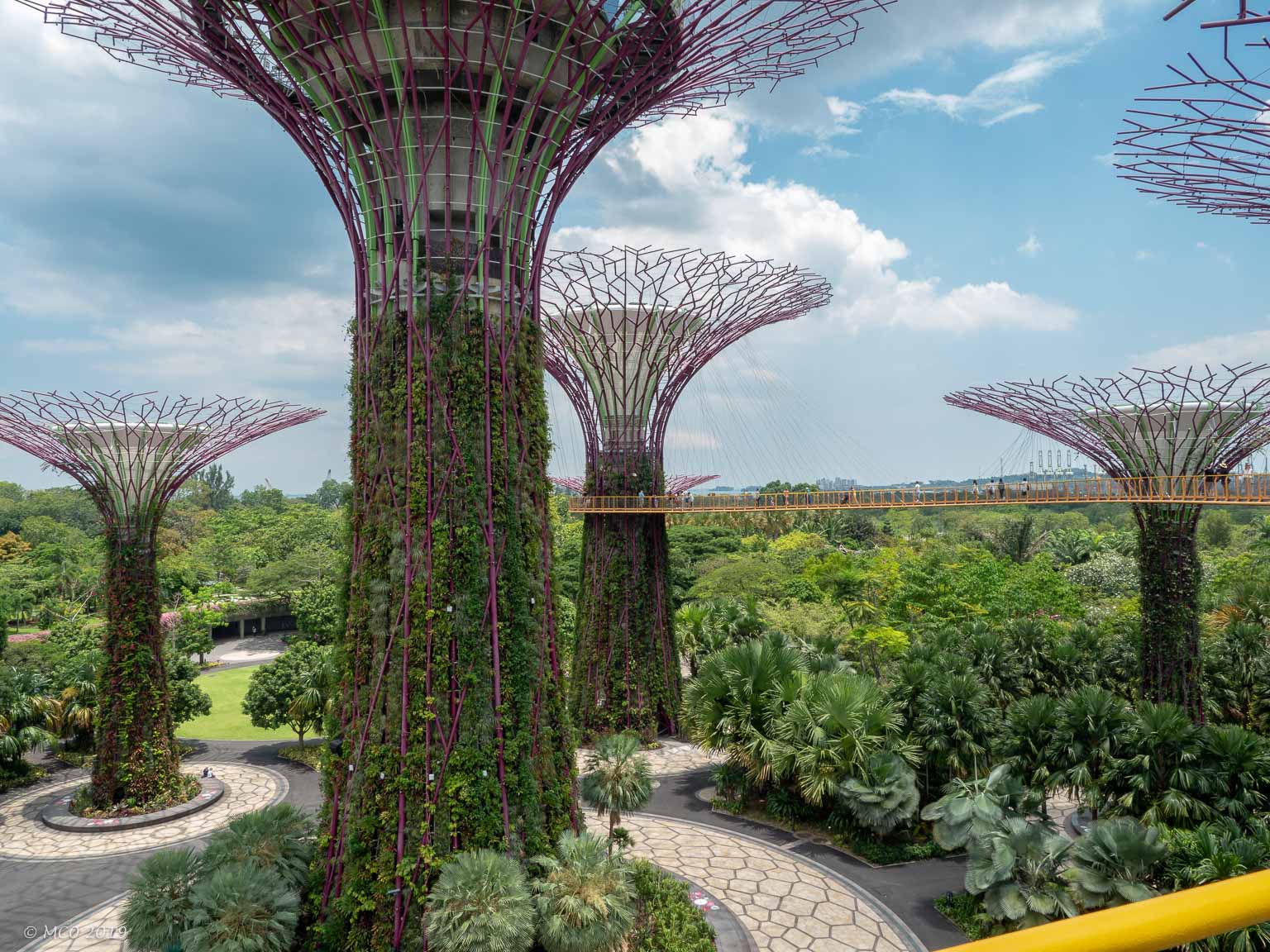
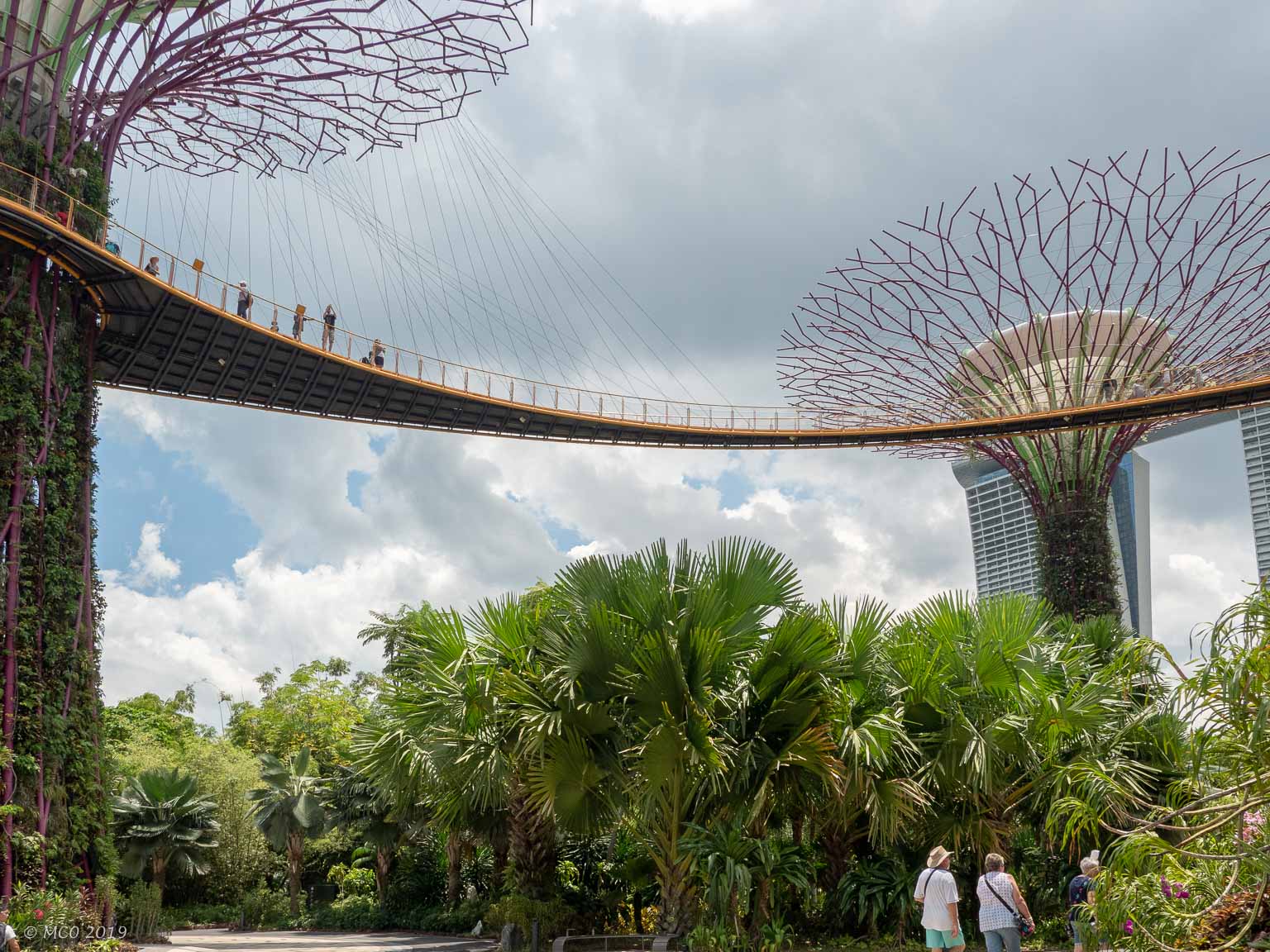
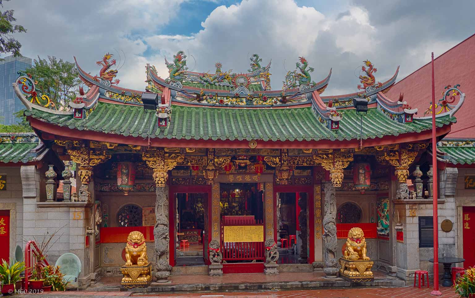
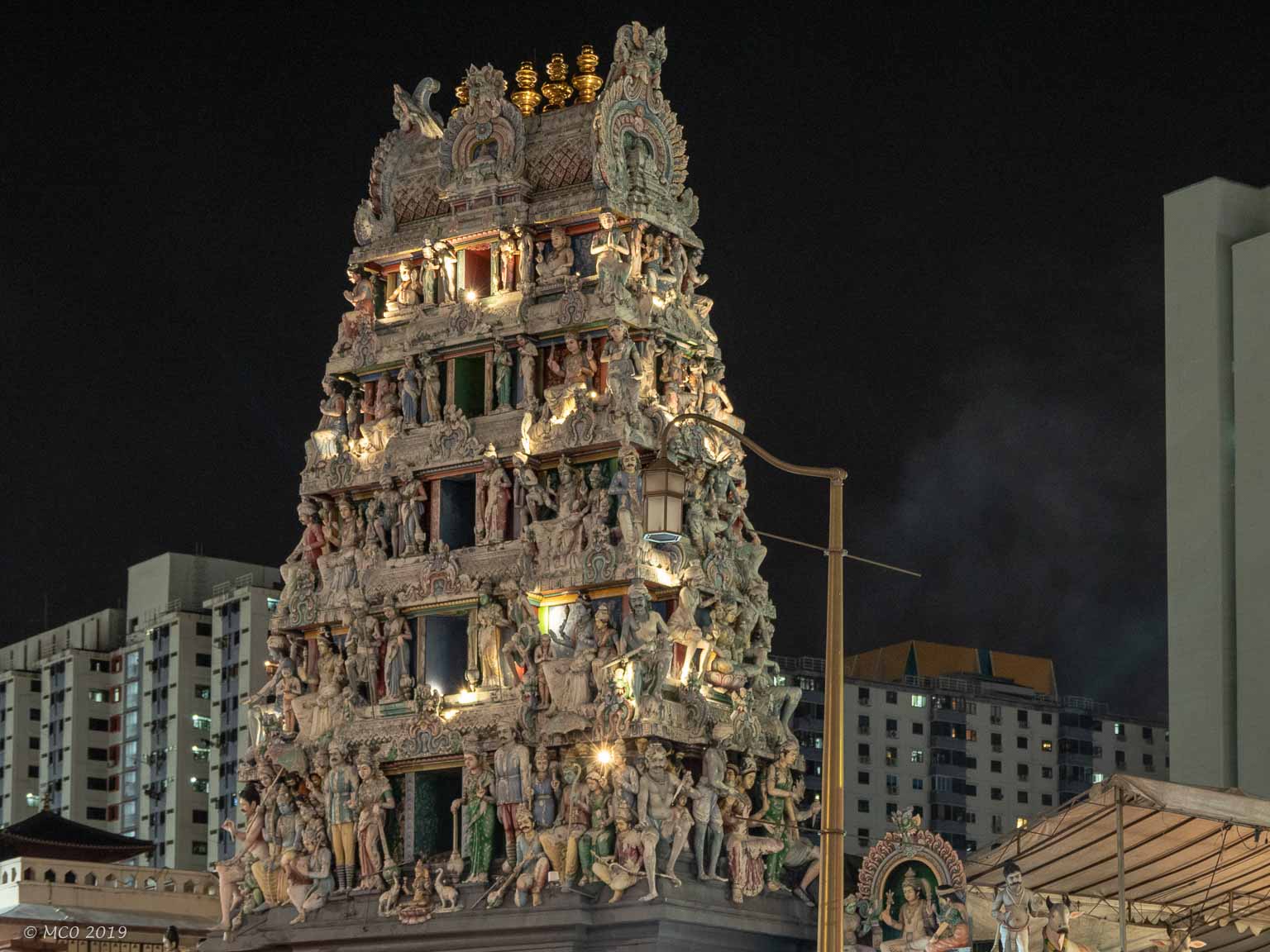
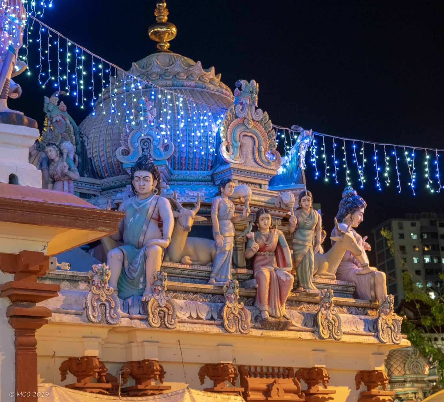
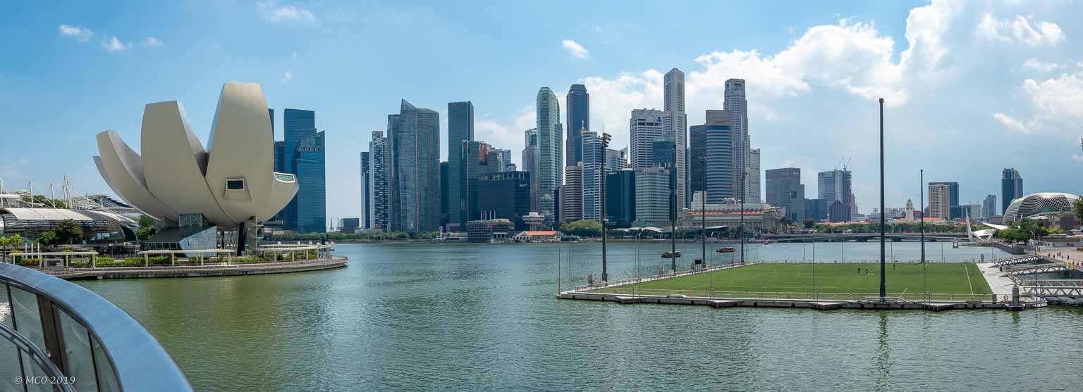
Modern Singapore, with a multi-ethnic population of over 5 million, has one of the highest per capita GDPs in the world. Its education and healthcare systems rank highly, it has the third highest life expectancy in the world (cf US, #31) and is known as a pleasant, if expensive, place to live and visit. It is also known for its low crime rate and strict enforcement of the law. I spent several days there and, in addition to the Tanglin Rugby Club and the ‘Sungei Buloh Wetland Reserve’ (mentioned in earlier posts), I visited the National Museum, had an excellent tour of the ‘Battlebox’, visited ‘Gardens by the Bay’, Chinatown and walked the ‘Quays’ along the shore of the Singapore River.
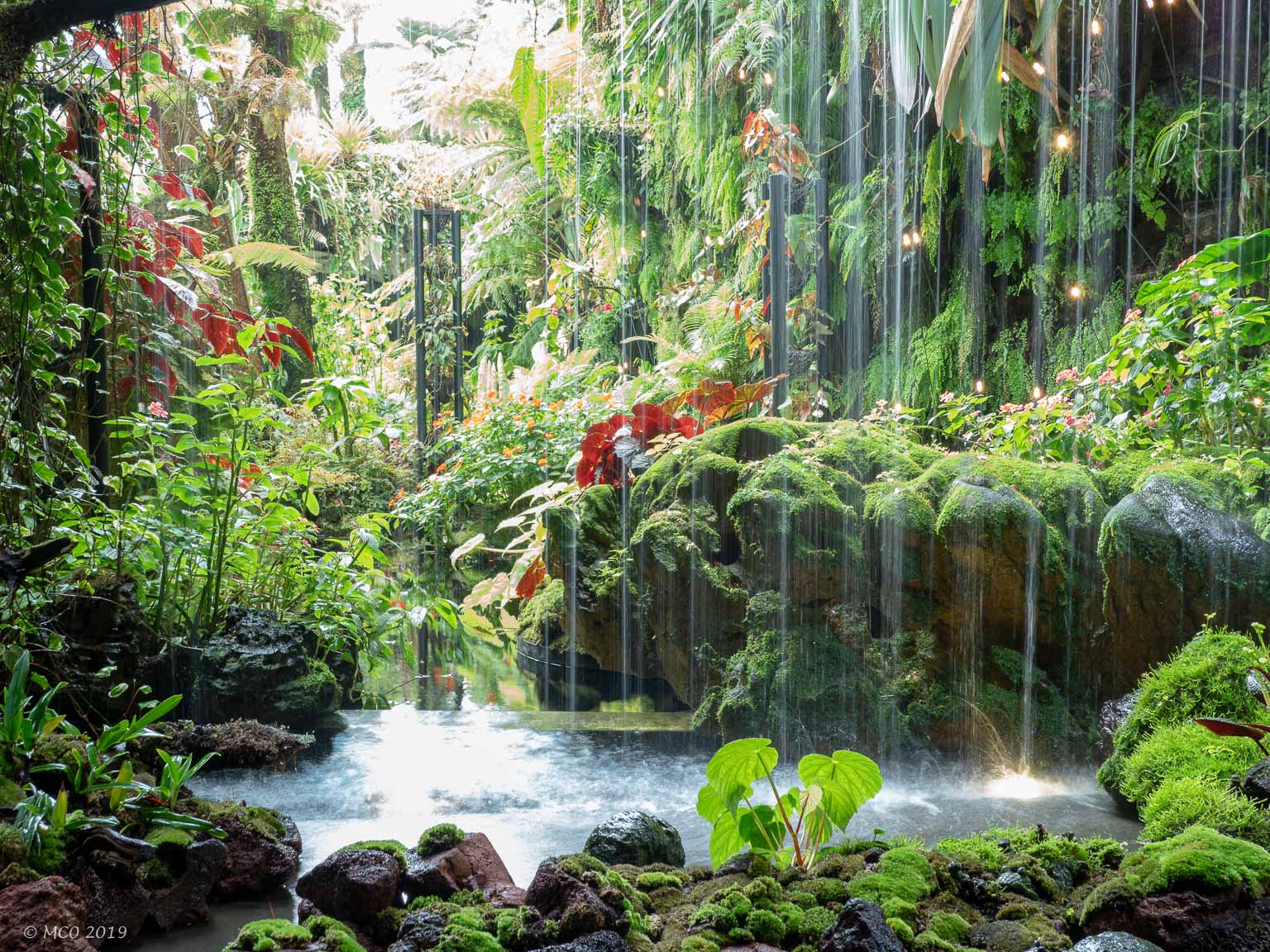
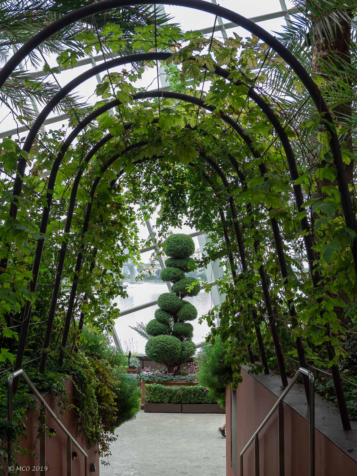
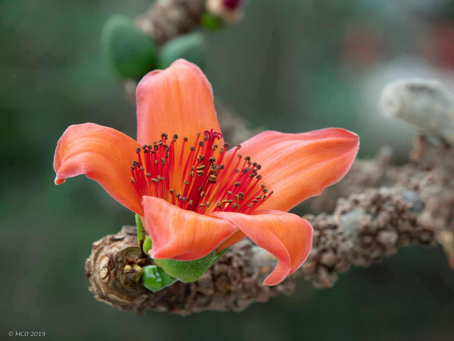
Gardens by the Bay
Two huge indoor glass structures and an outside ‘forest’ with aerial walkways. Well worth the visit.
Click on any thumbnail below to see larger size image gallery.
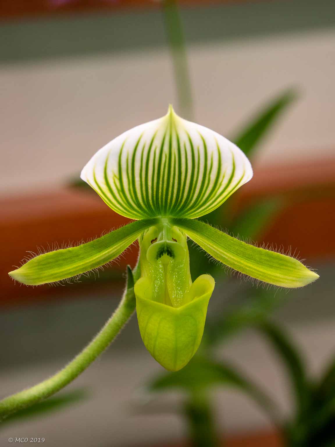
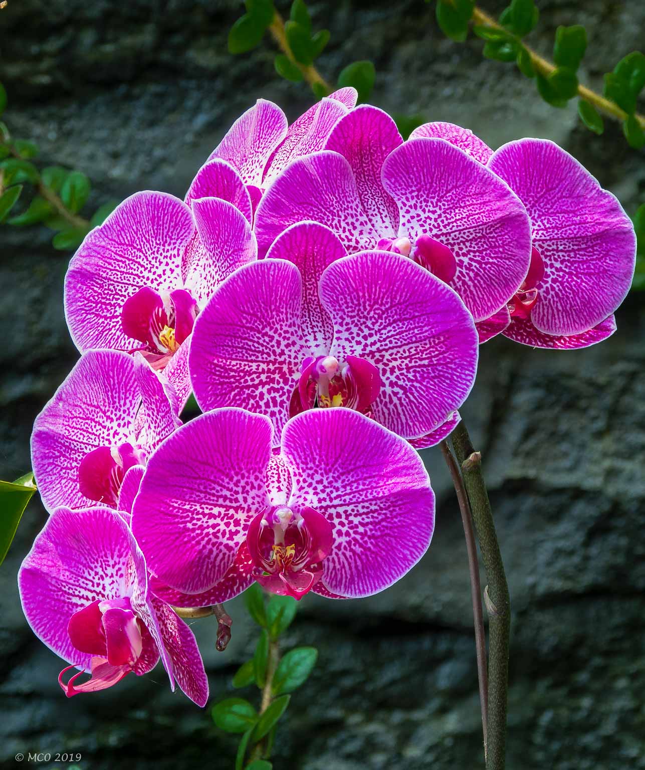
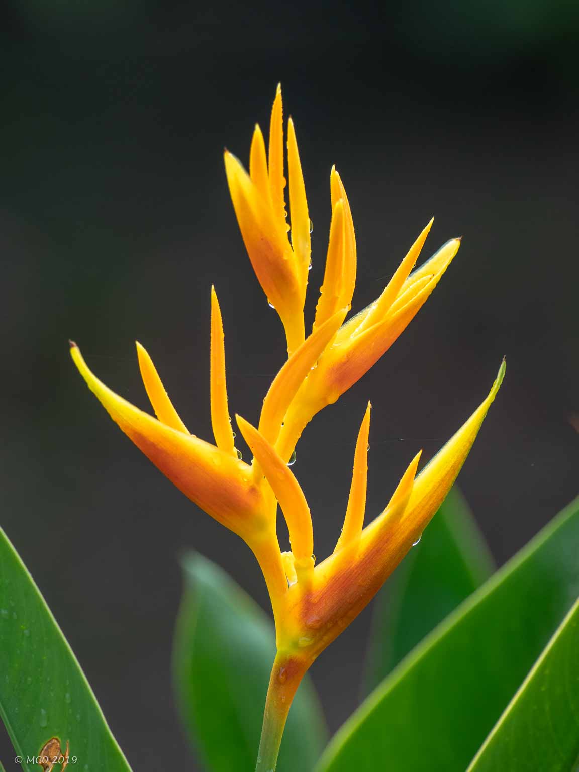
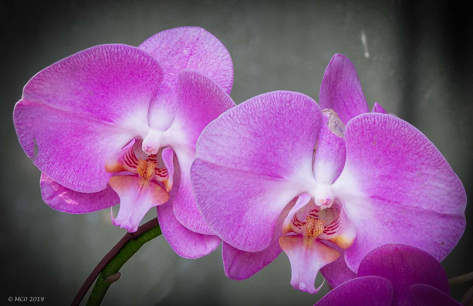
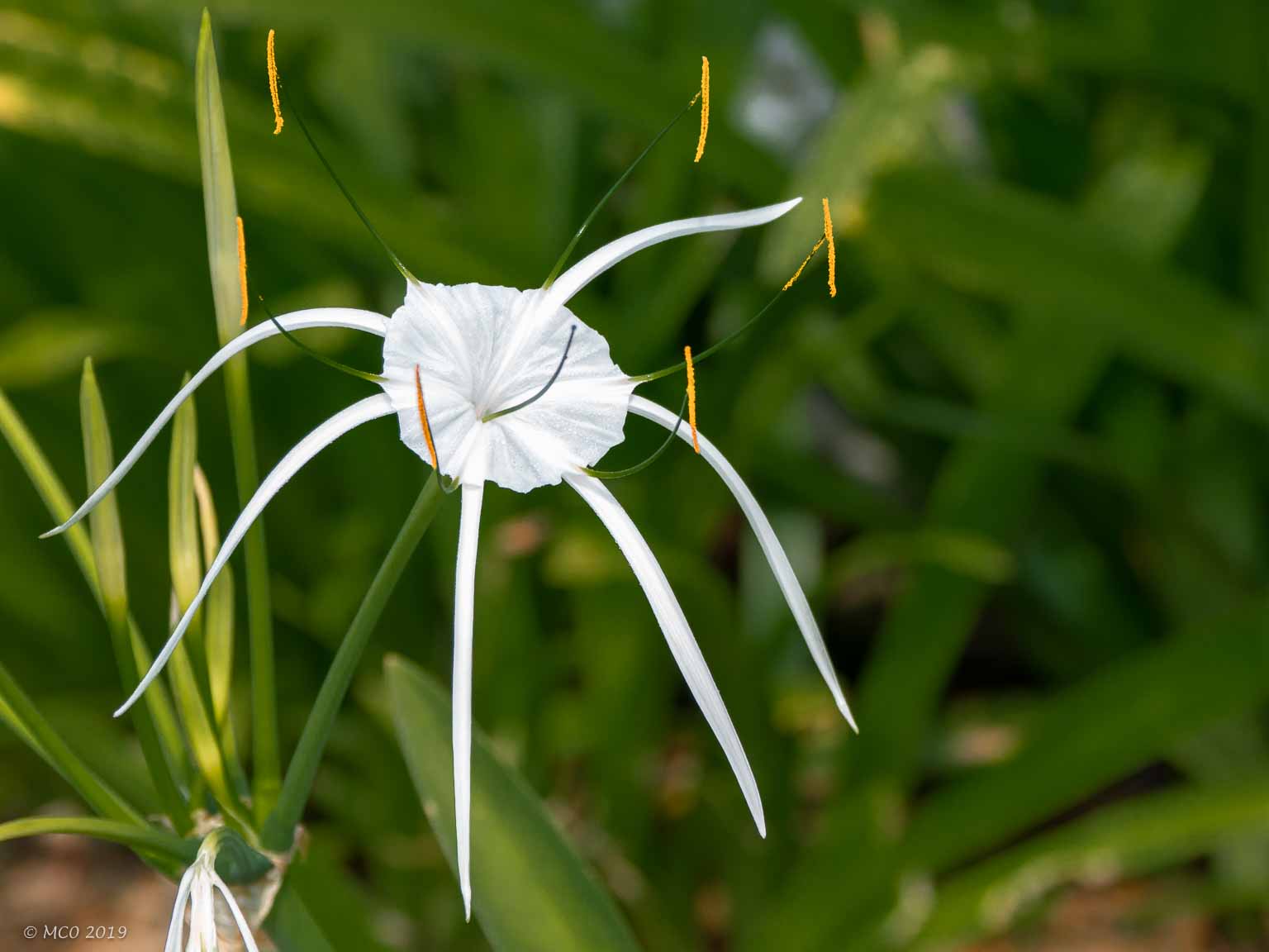
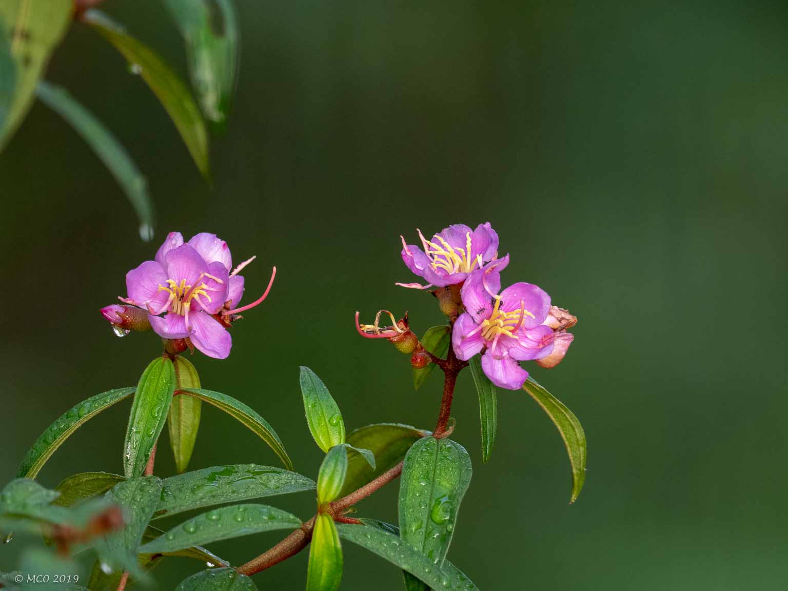
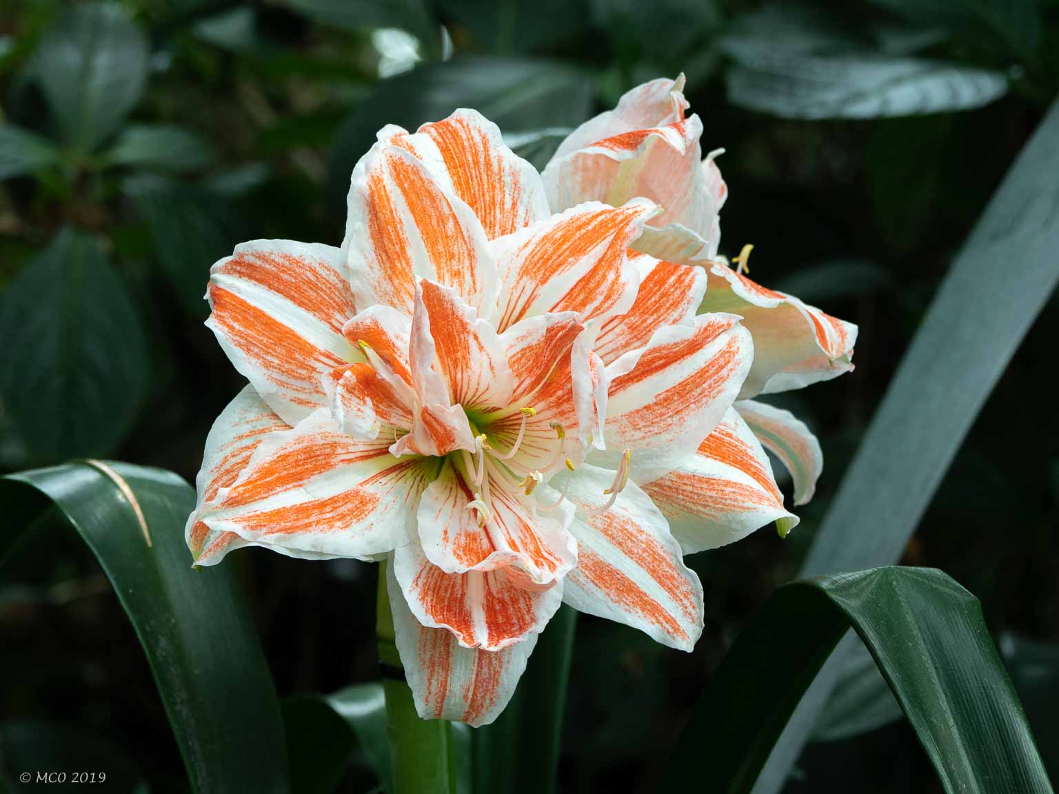
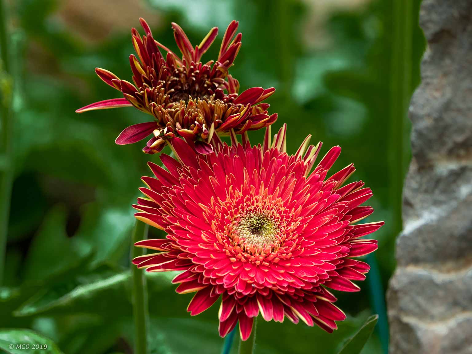
Flowers
Click on any thumbnail below to see larger size image gallery.
-
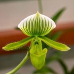
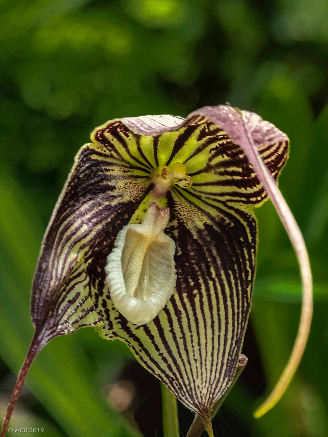
- Orchid
-
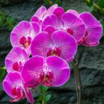
- Orchid
-
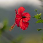
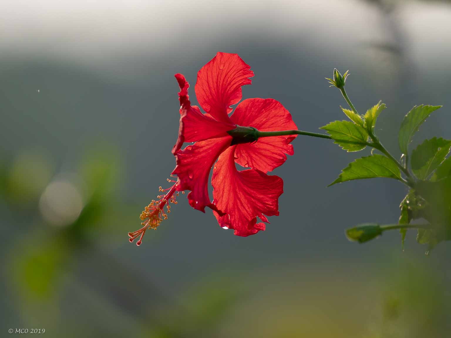
- National Flower (Hibiscus)
-
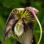
- Orchid
-
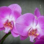
- Orchid
-
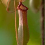
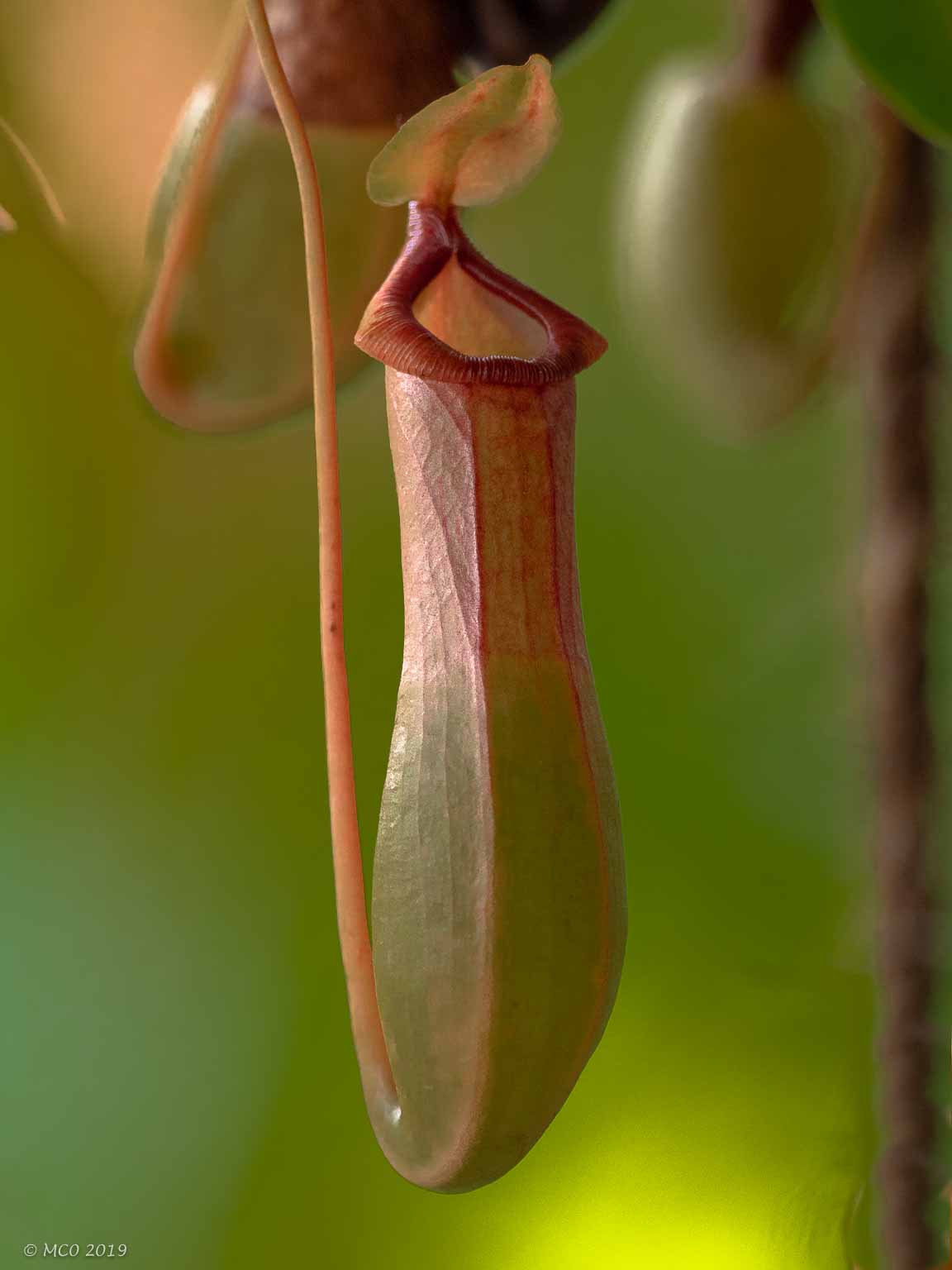
- Insect-eating plants
-
- Ant trap
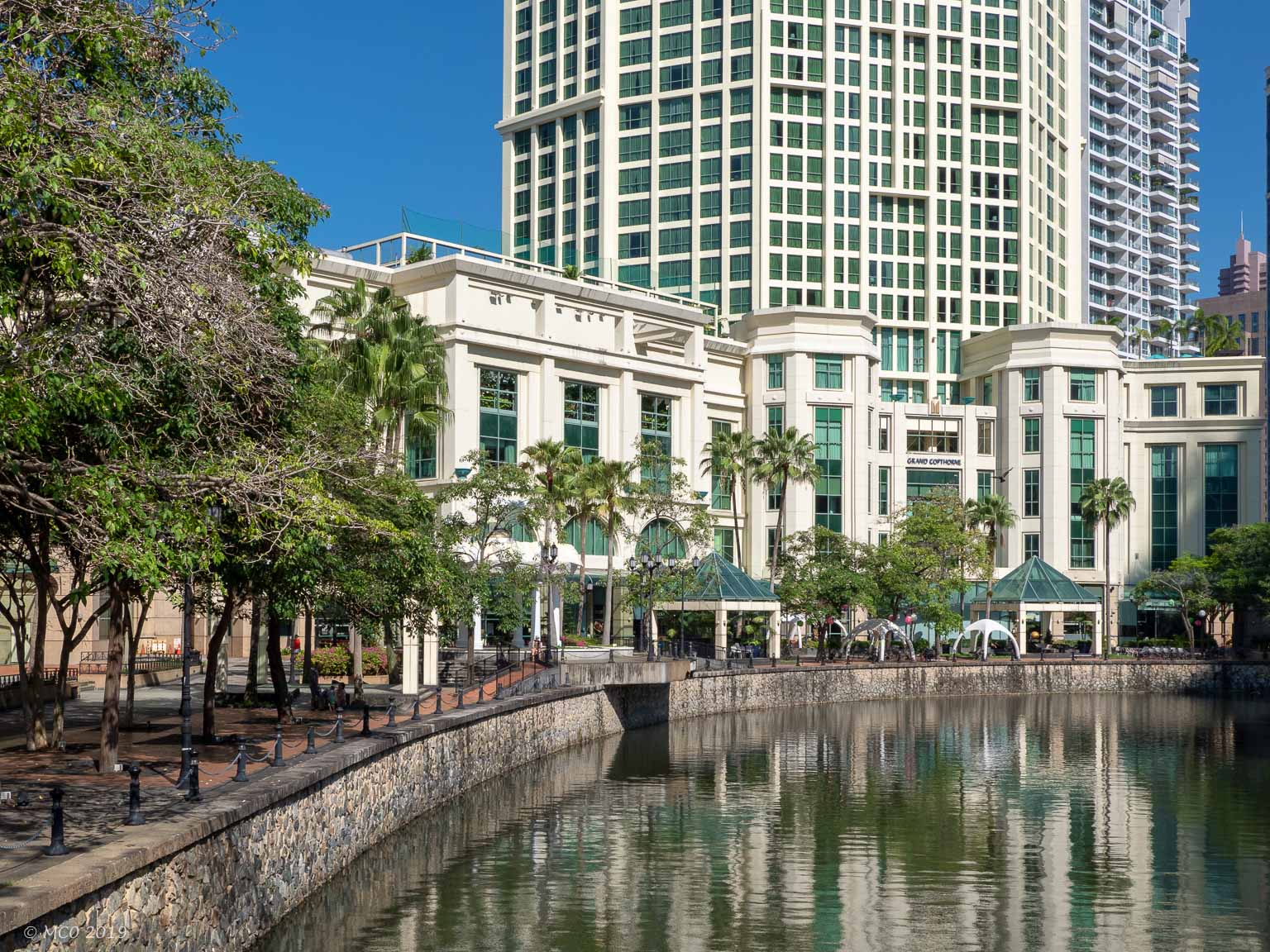
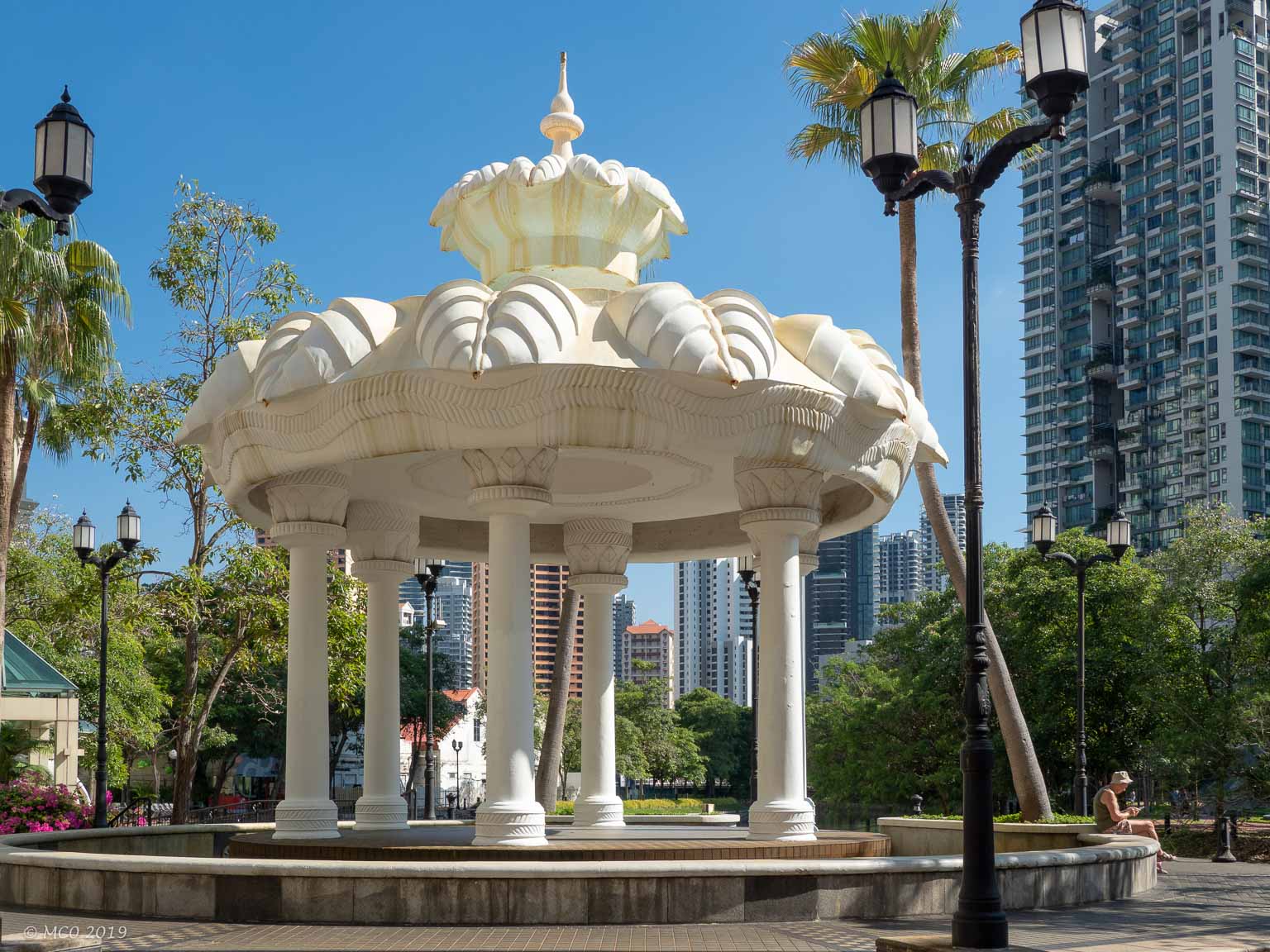
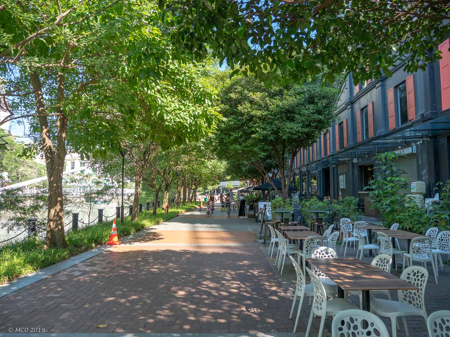
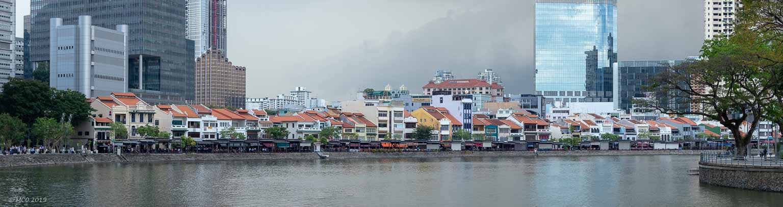
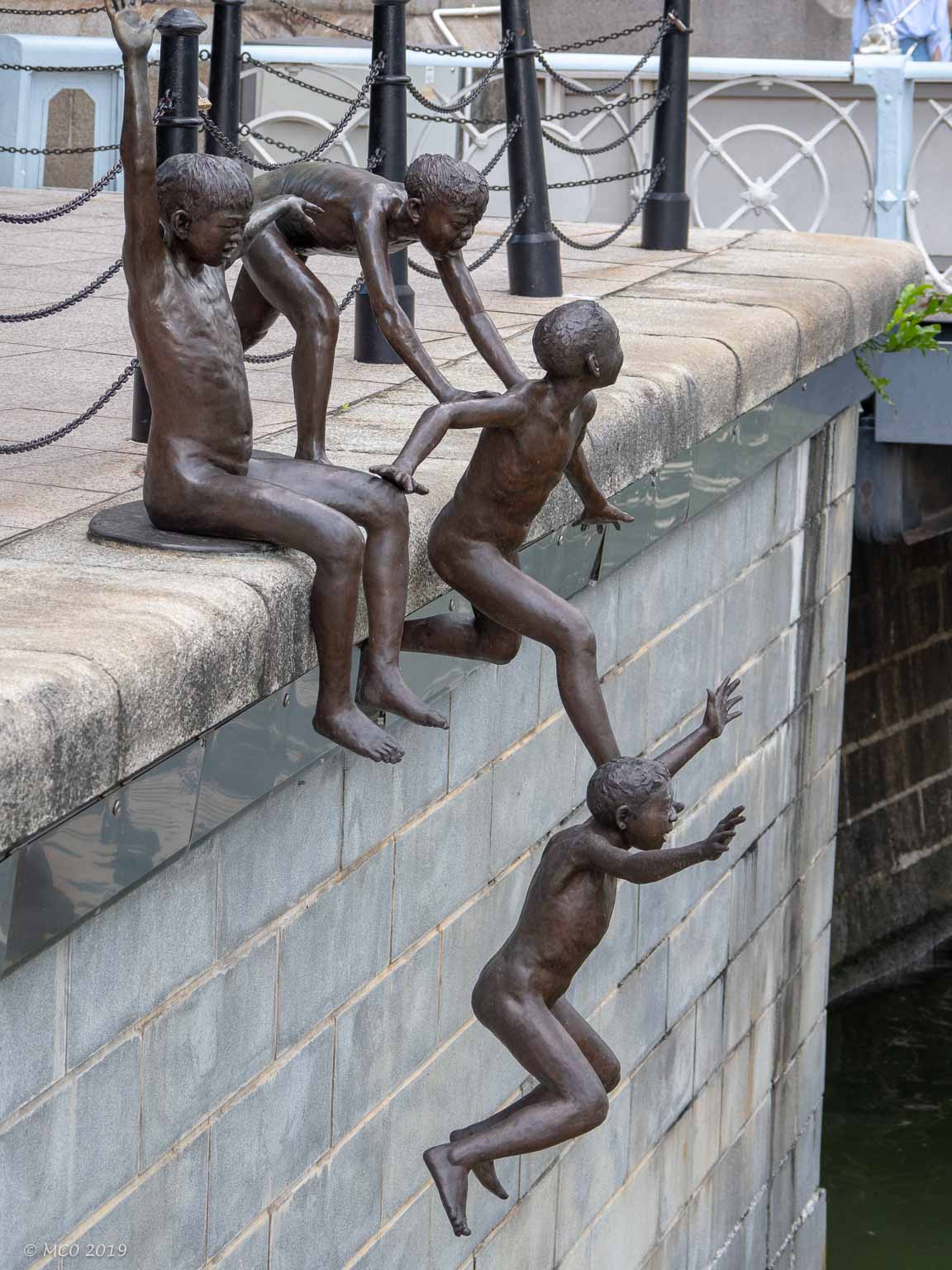
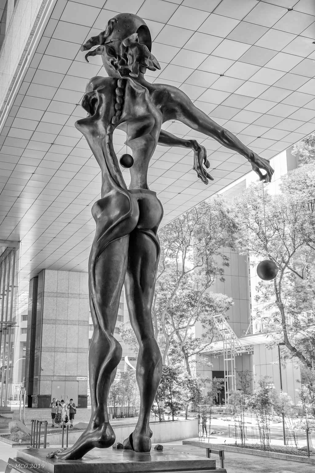
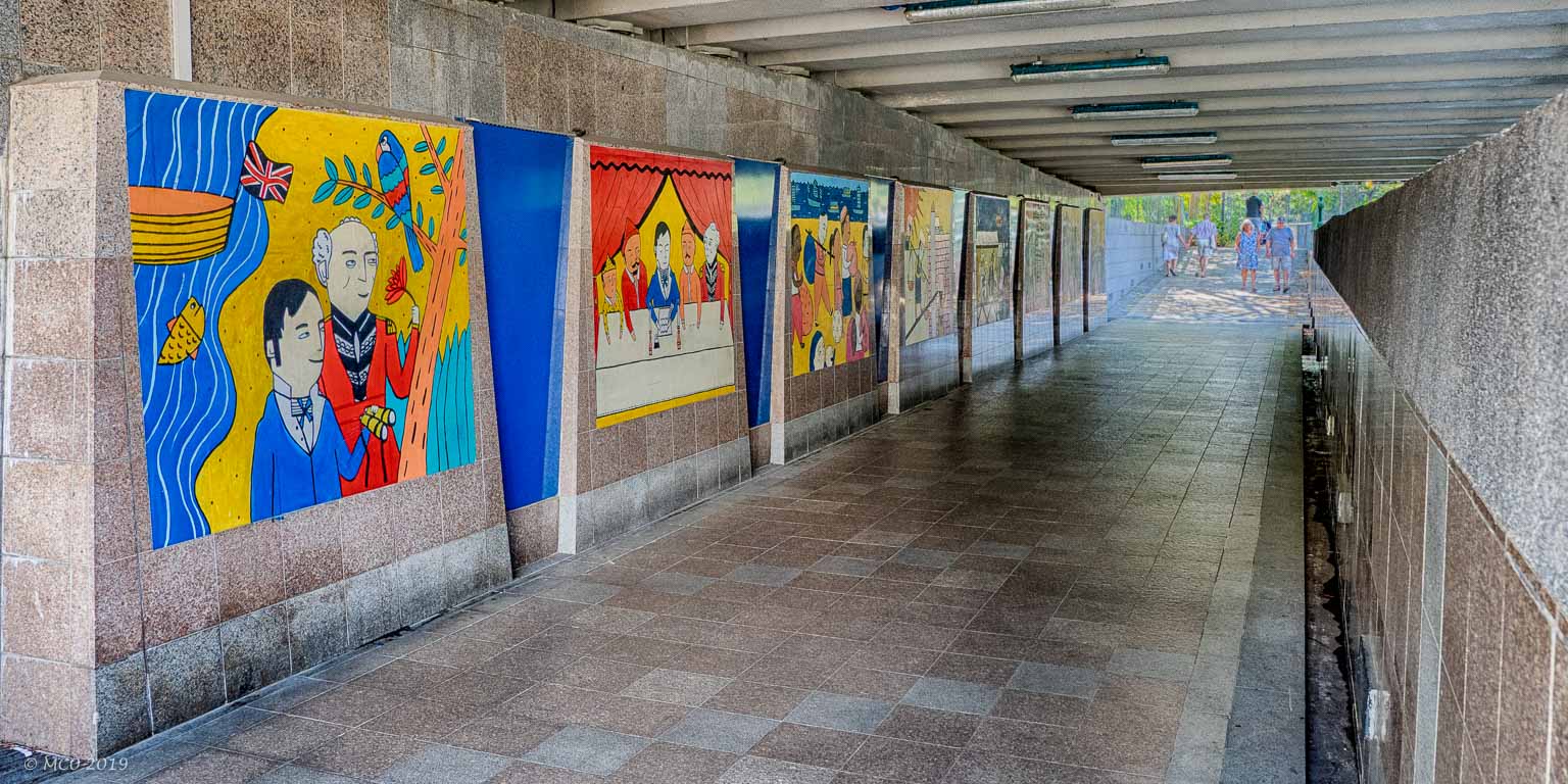
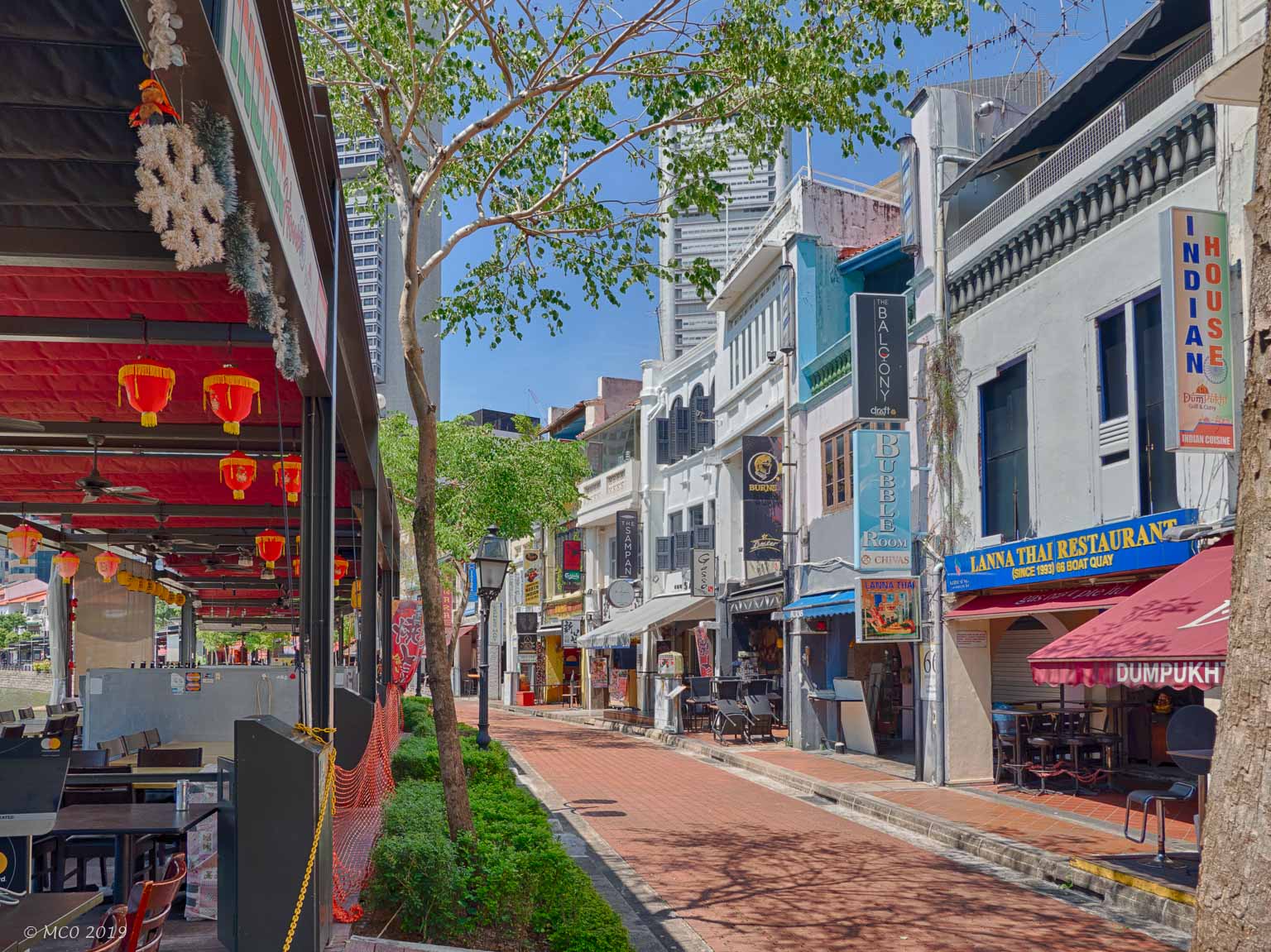
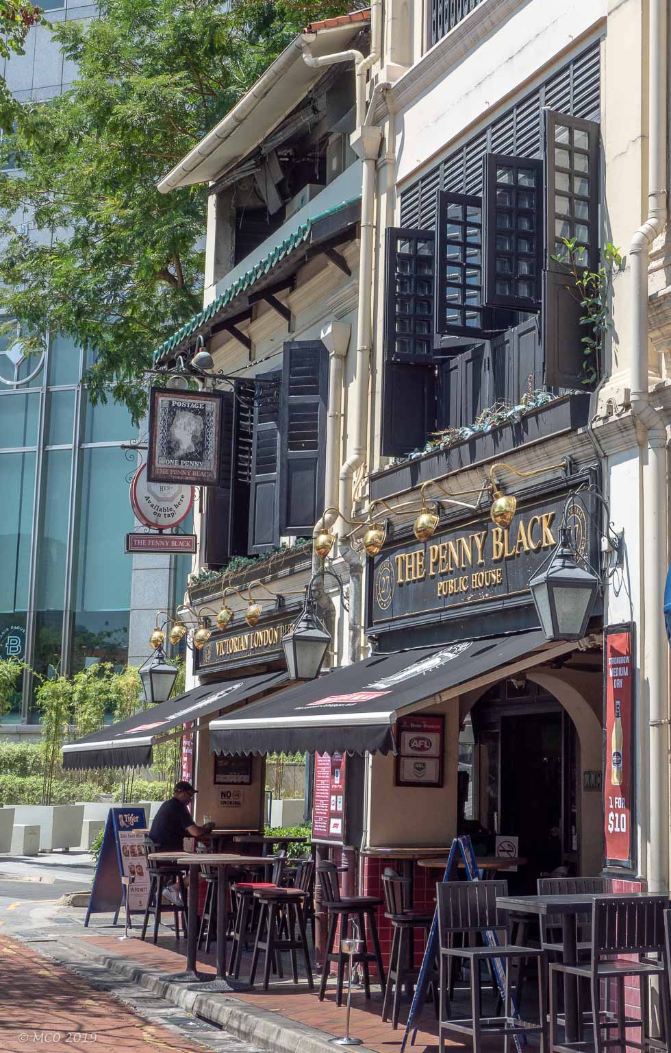
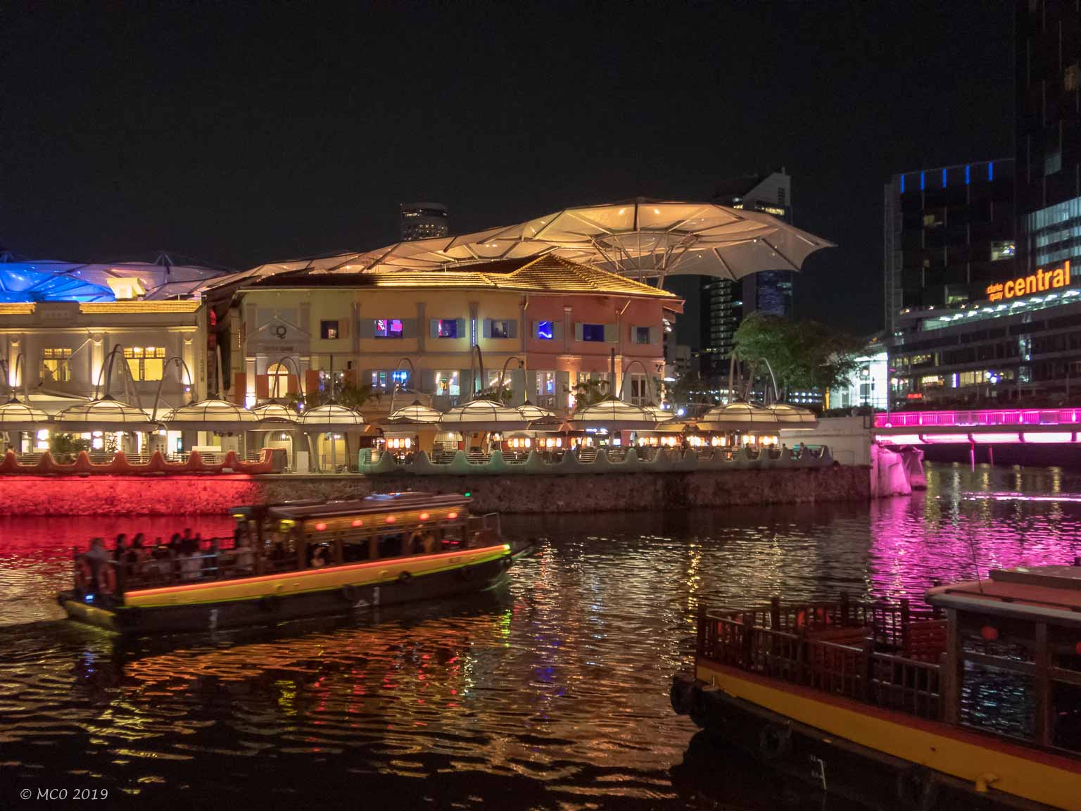
The Quays
The Singapore River has long walks on both banks with shops, hotels, and restaurants of every variety.
Click on any thumbnail below to see larger size image gallery.
-
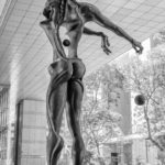
- Salvador Dali Statue
-
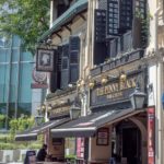
- British Pub
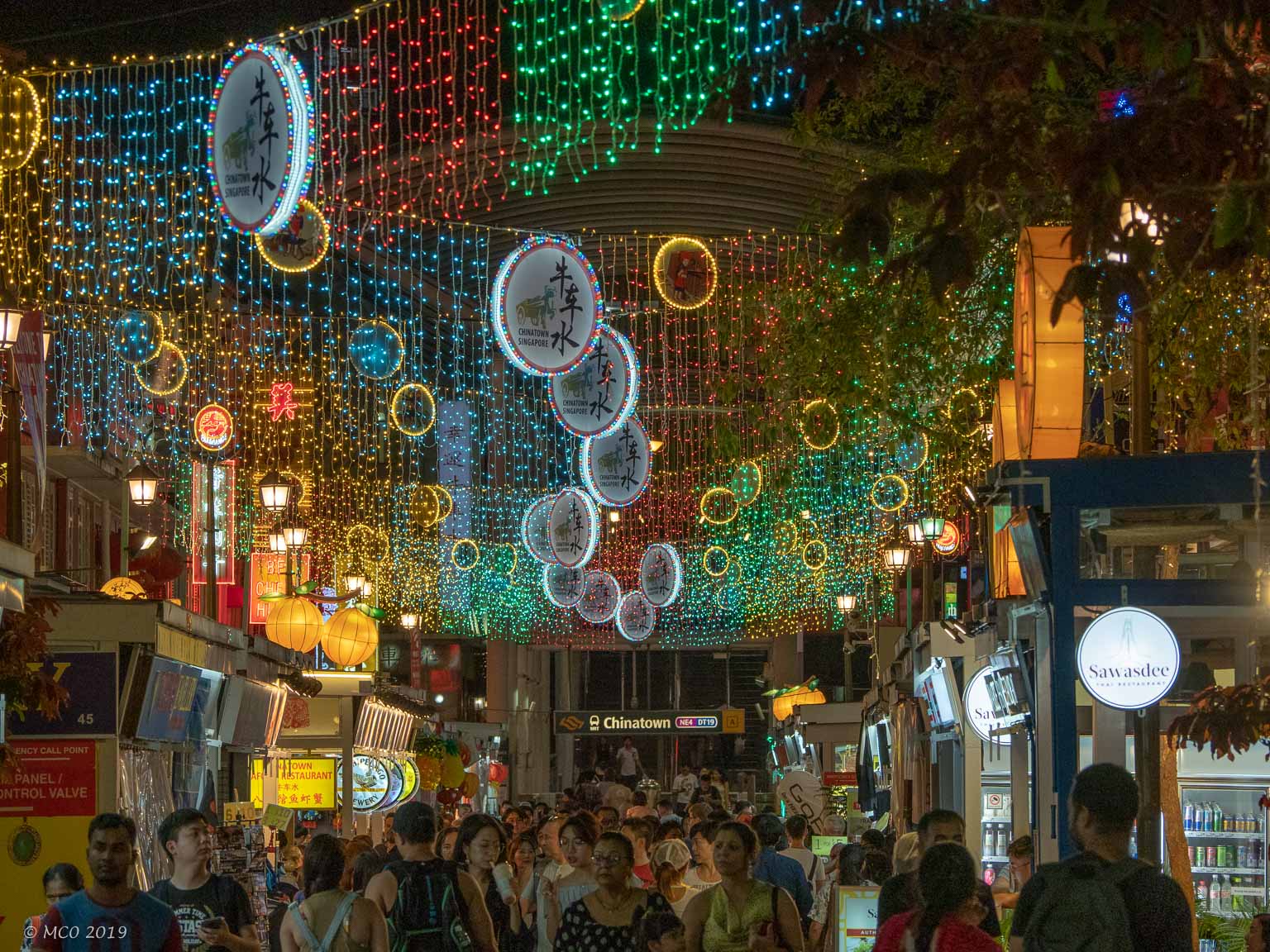
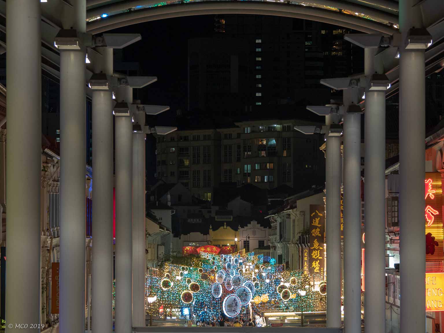
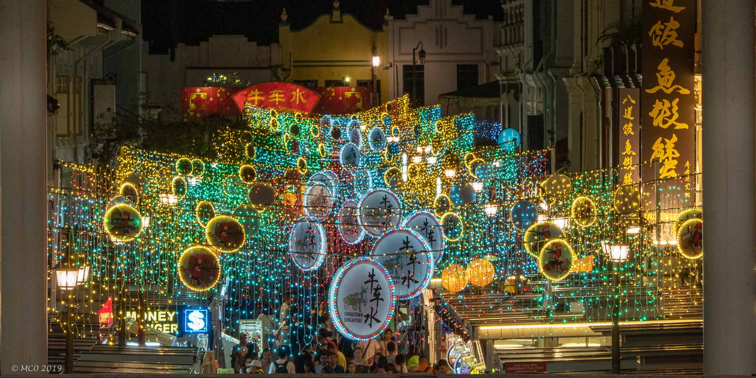
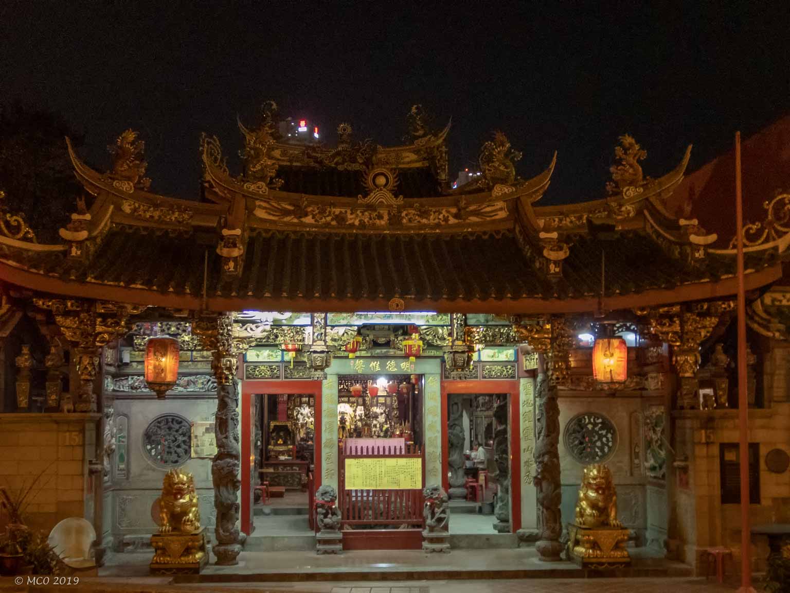
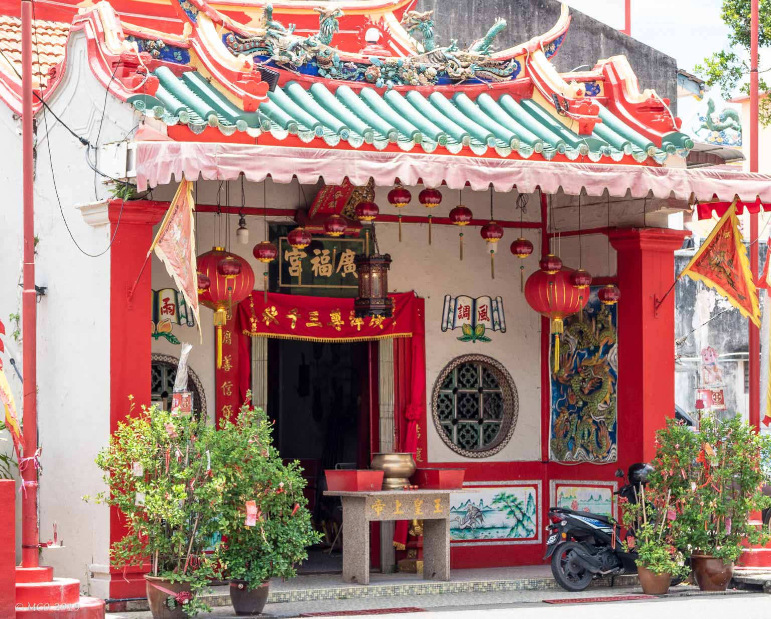
Chinatown
Busier and brighter than any Chinatown I have visited.
Click on any thumbnail below to see larger size image gallery.
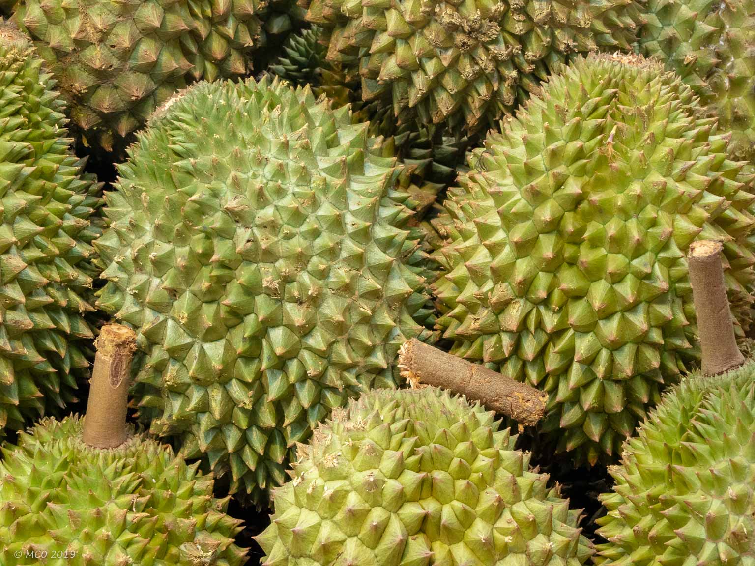
-
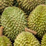
- Foul smelling durian fruit
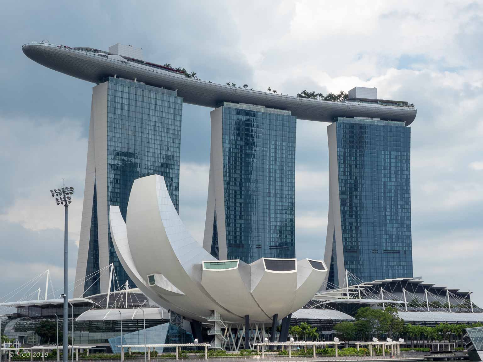
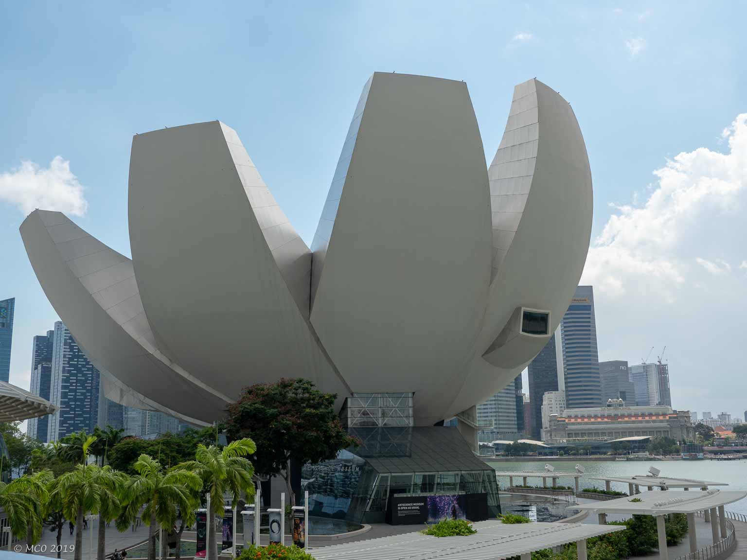
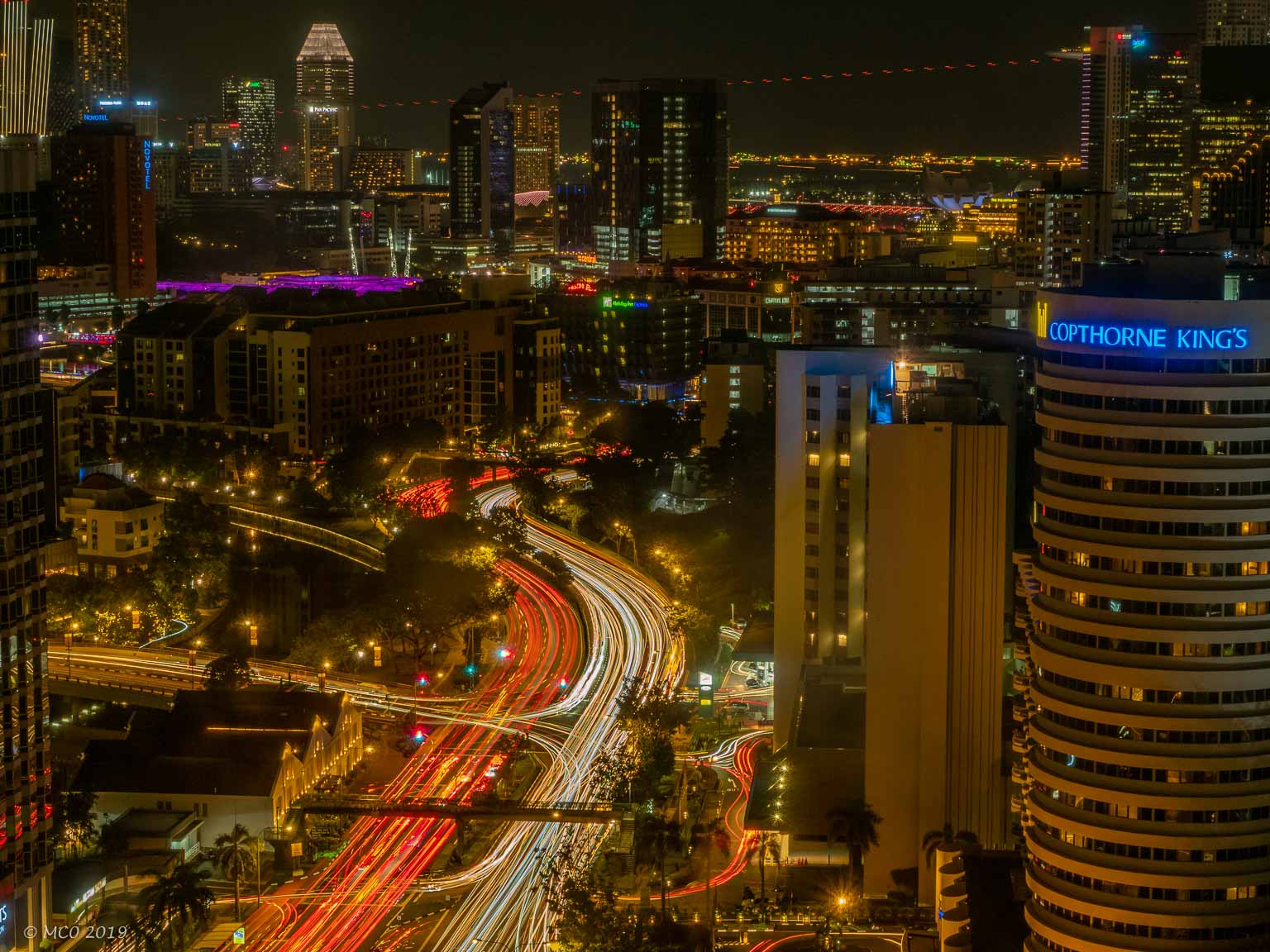
Cityscapes
Click on any thumbnail below to see larger size image gallery.
-
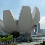
- Art and Science Museum
-
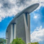
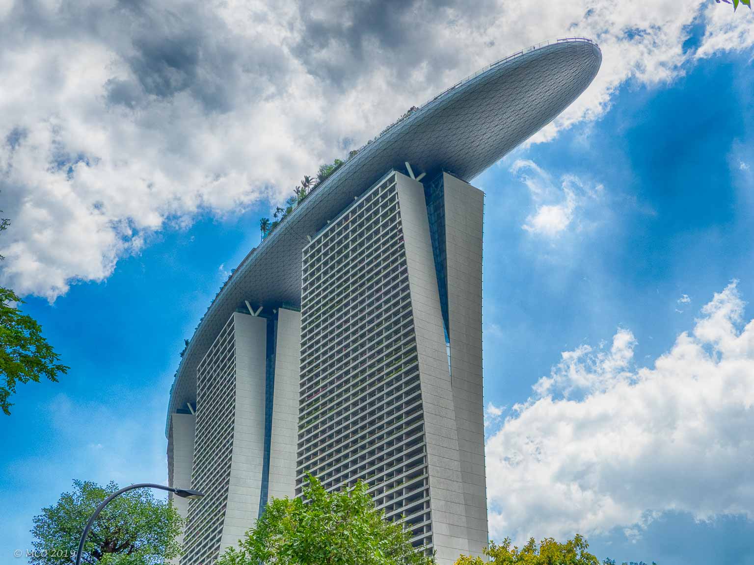
- Marina Bay Sands Casino-Hotel
-
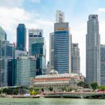
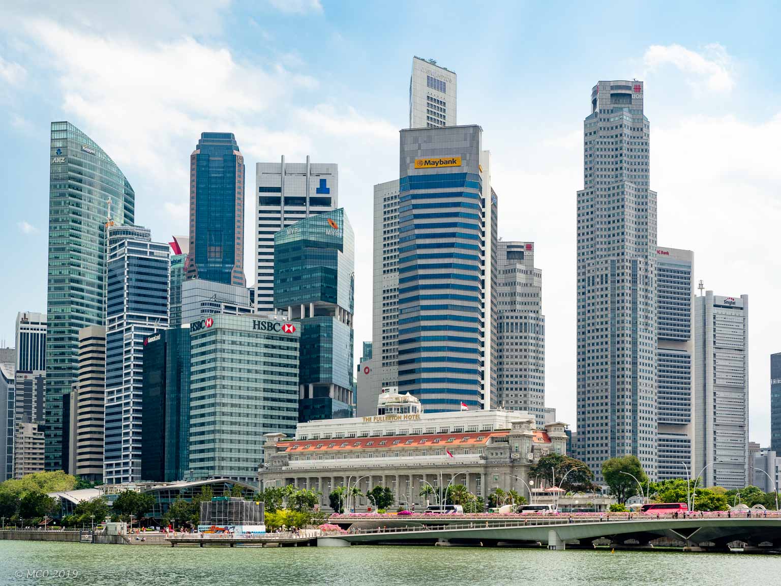
- (Dwarfed) Fullerton Hotel
-
- Architect’s Humor
-
- Hotel Lobby
-
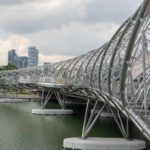
- Footbridge
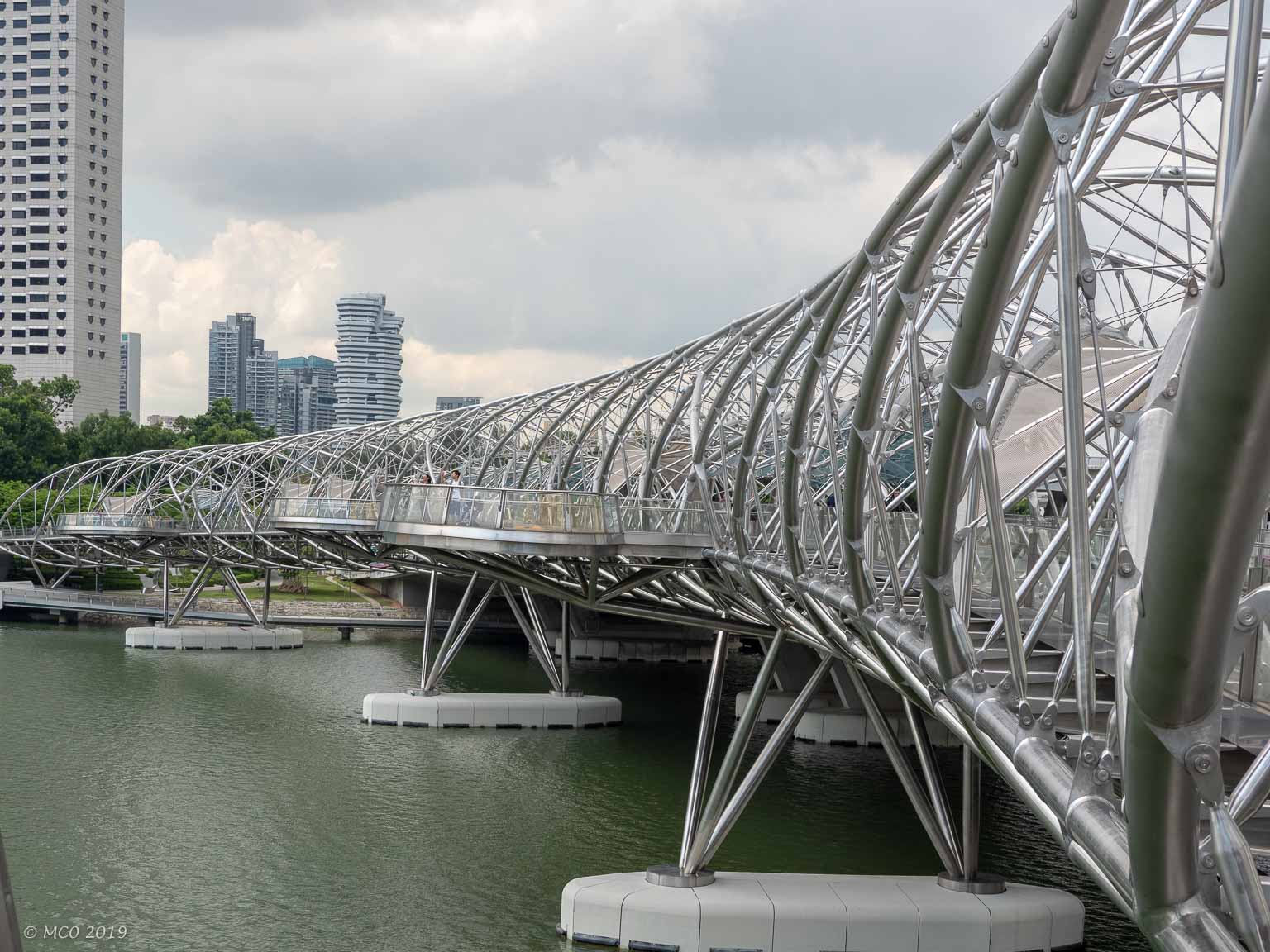
-
- Durian Building (Theatre)
-
- Art and Science Museum
-
- Nightscape
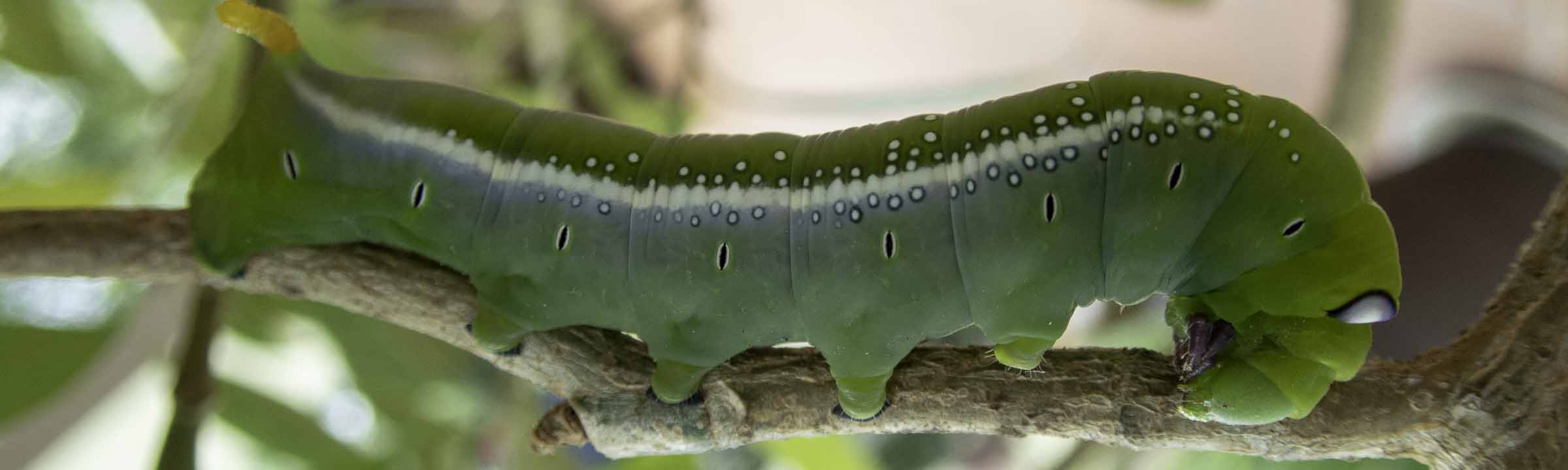
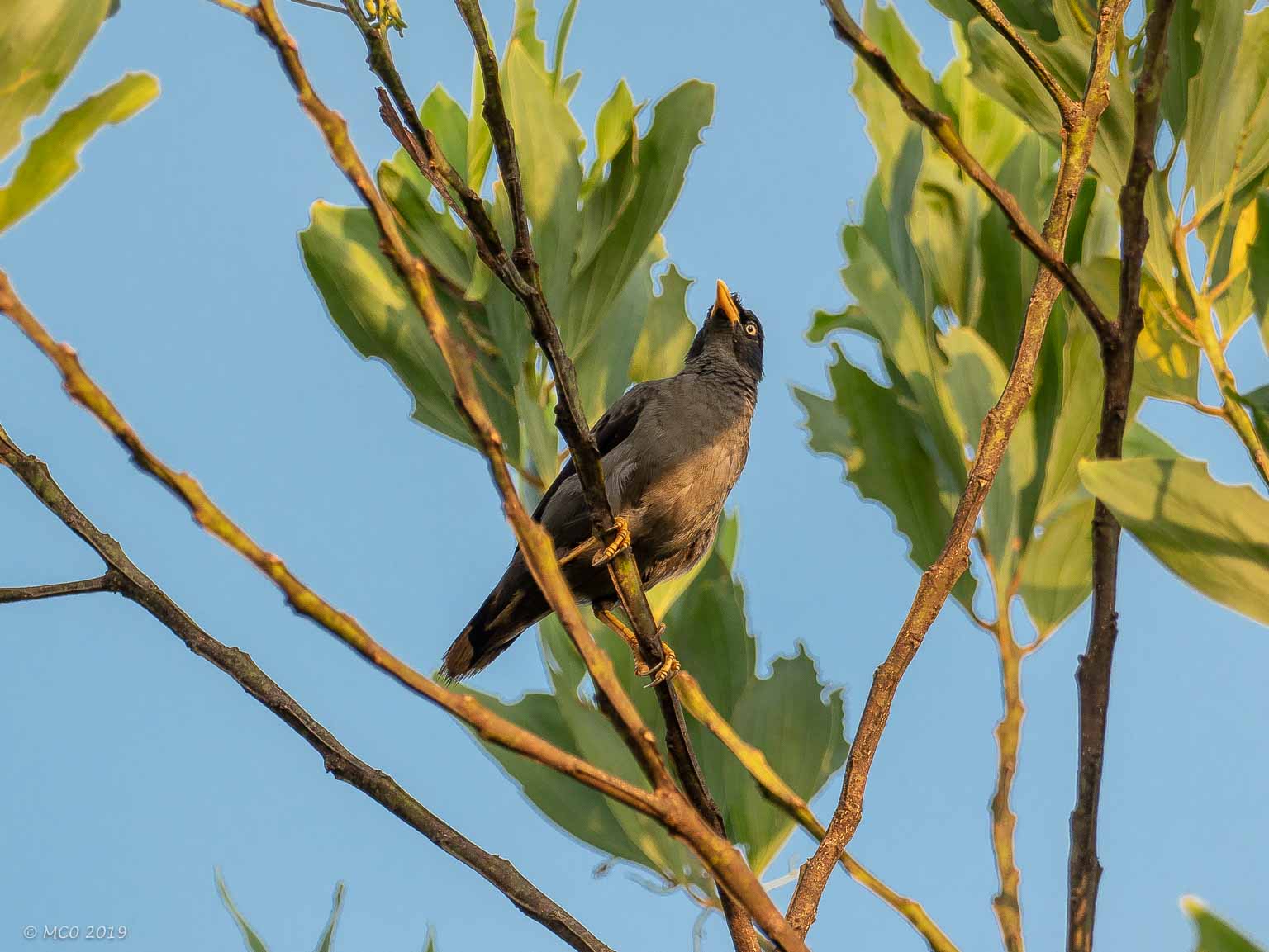
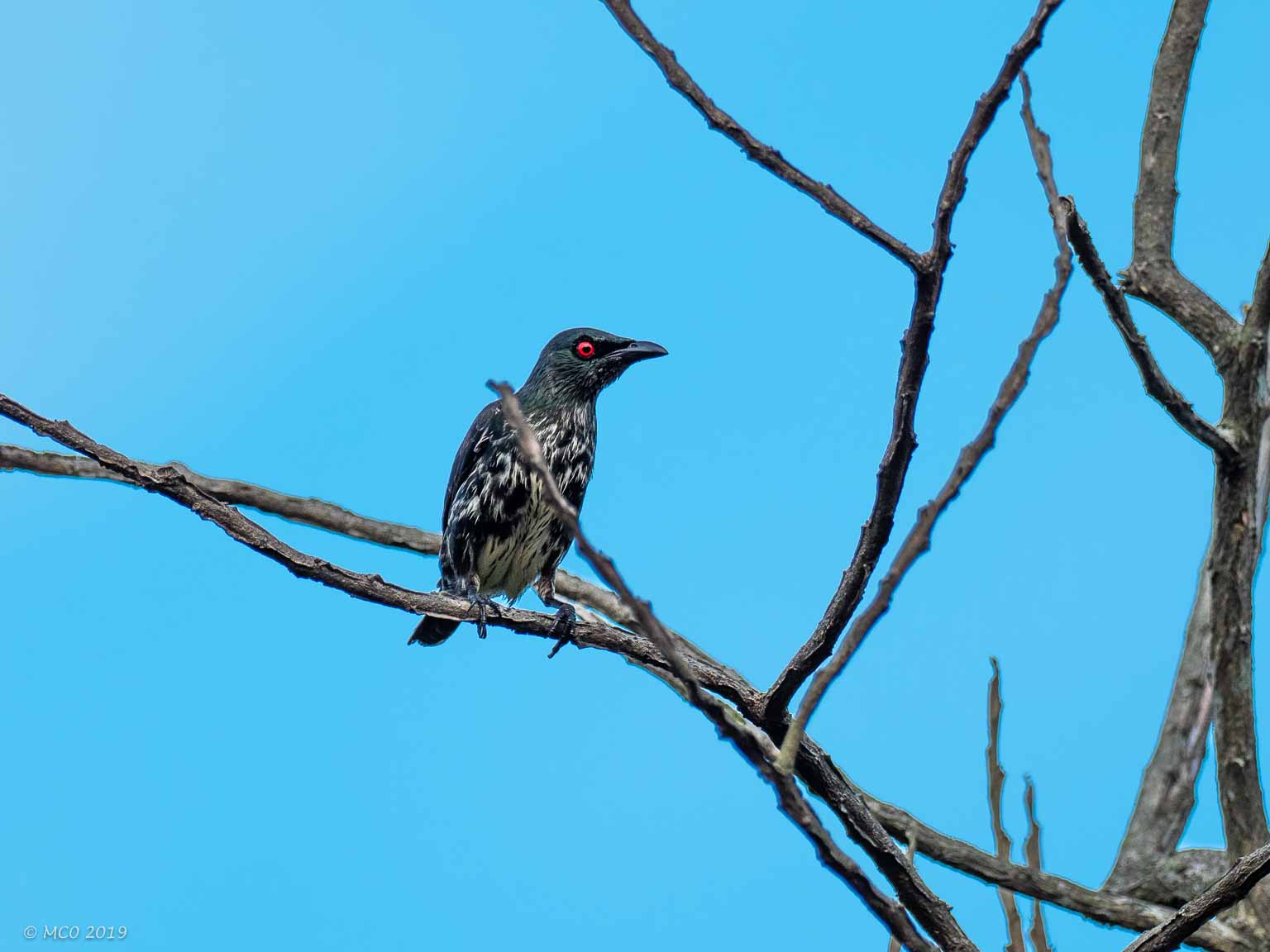
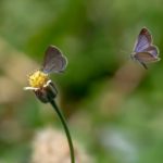
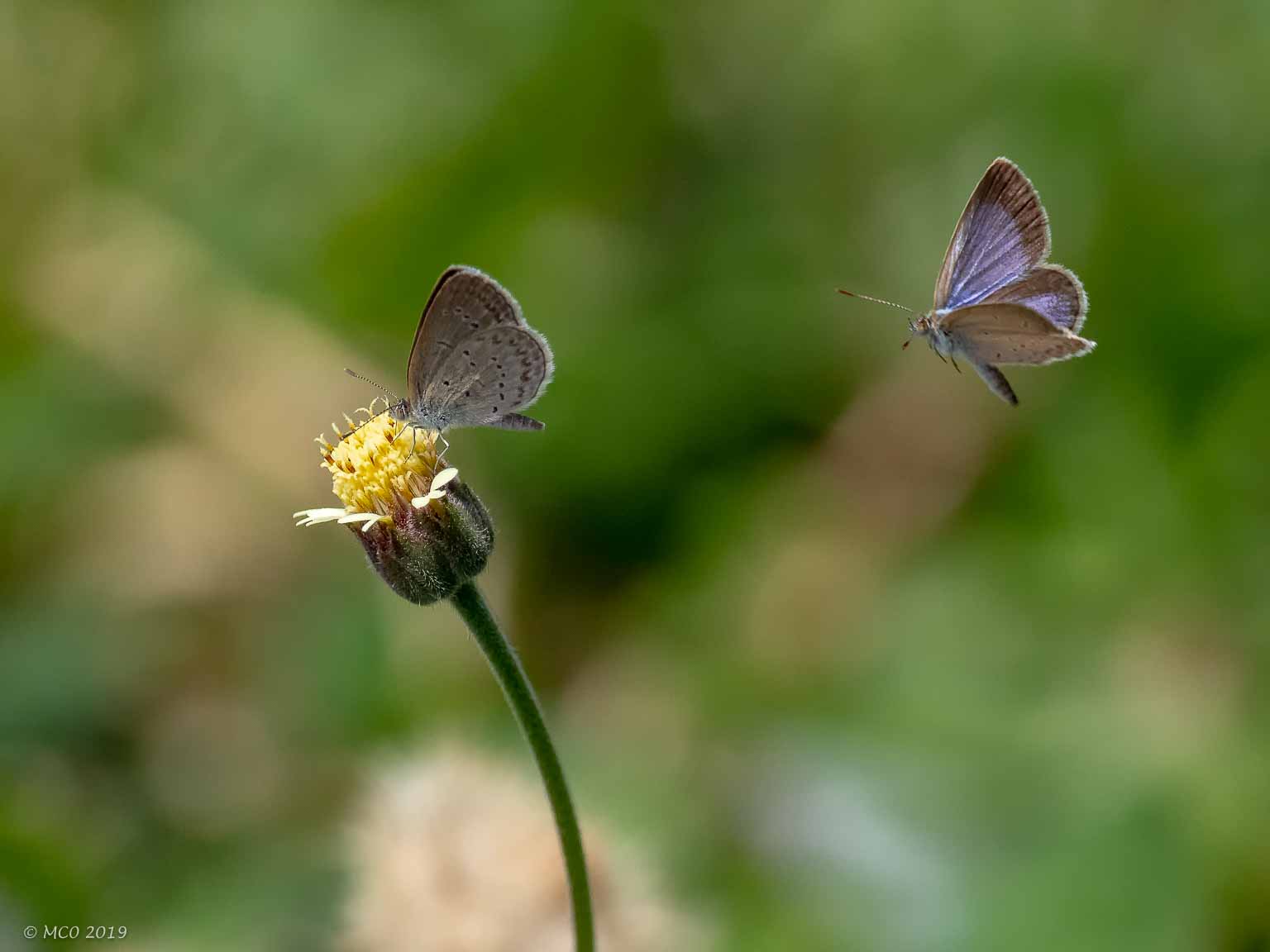
The following pictures were mainly taken around the Marlborough School campus where I was staying. They were taken with my Olympus mirrorless camera equipped with a 300mm (600mm – 35mm camera equivalent) lens. It’s quite difficult to hold steady but is particularly useful for insects close-ups, where a macro lens setup would require the camera to be so close that the insect would no doubt ‘buzz off’.
Birds
Click on any thumbnail below to see larger size image gallery.
-
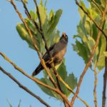
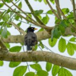
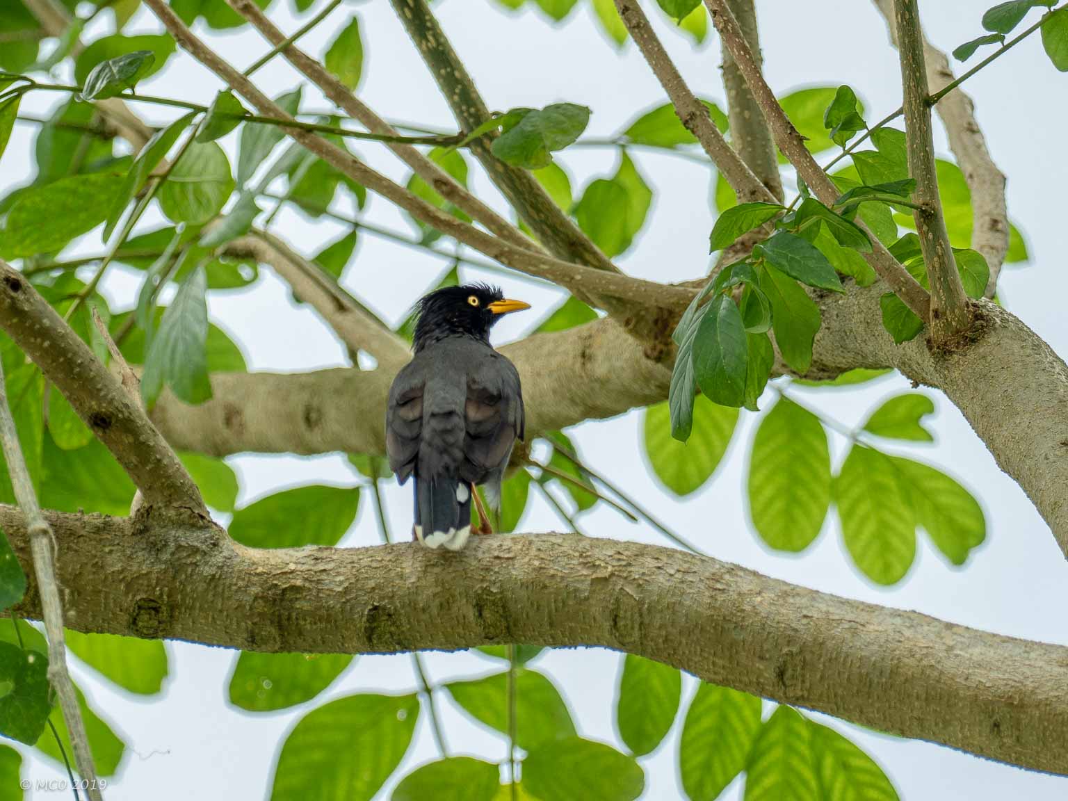
- Mynah Bird
-
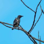
- Asian Glossy Starling
-
- Yellow Vented Bulbul
-
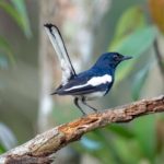
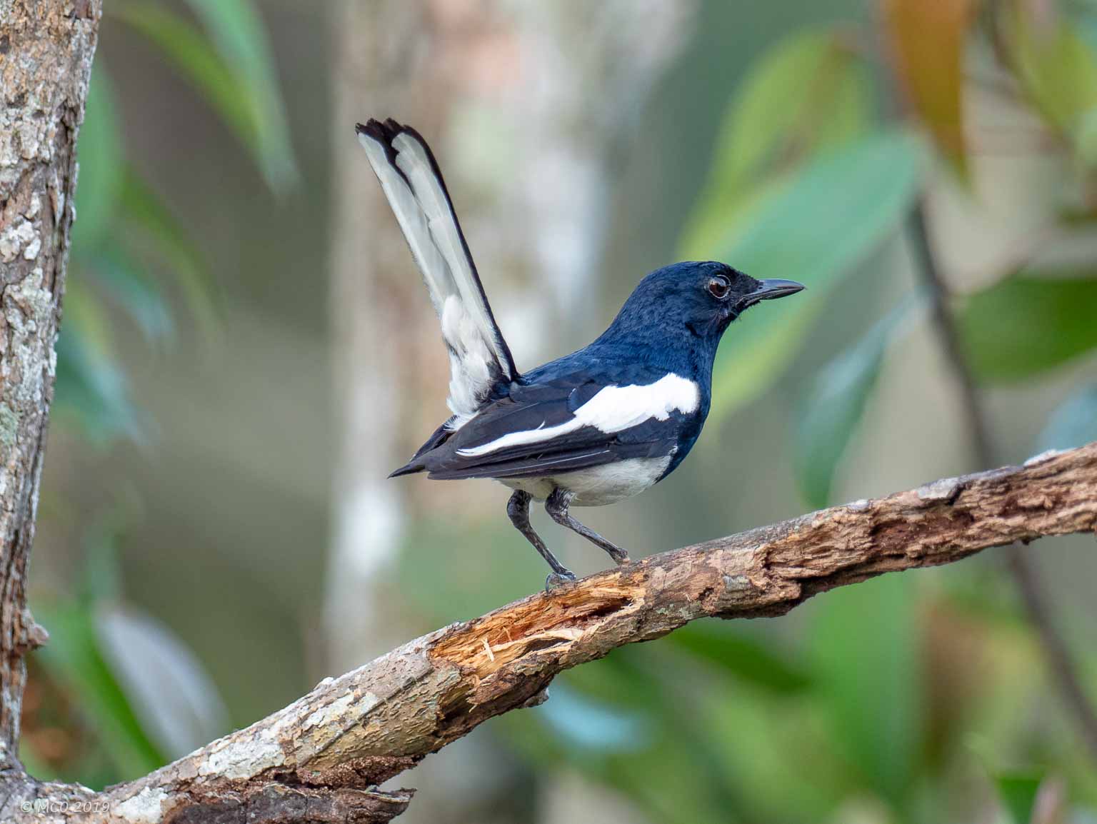
- Oriental Magpie Robin
-
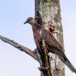
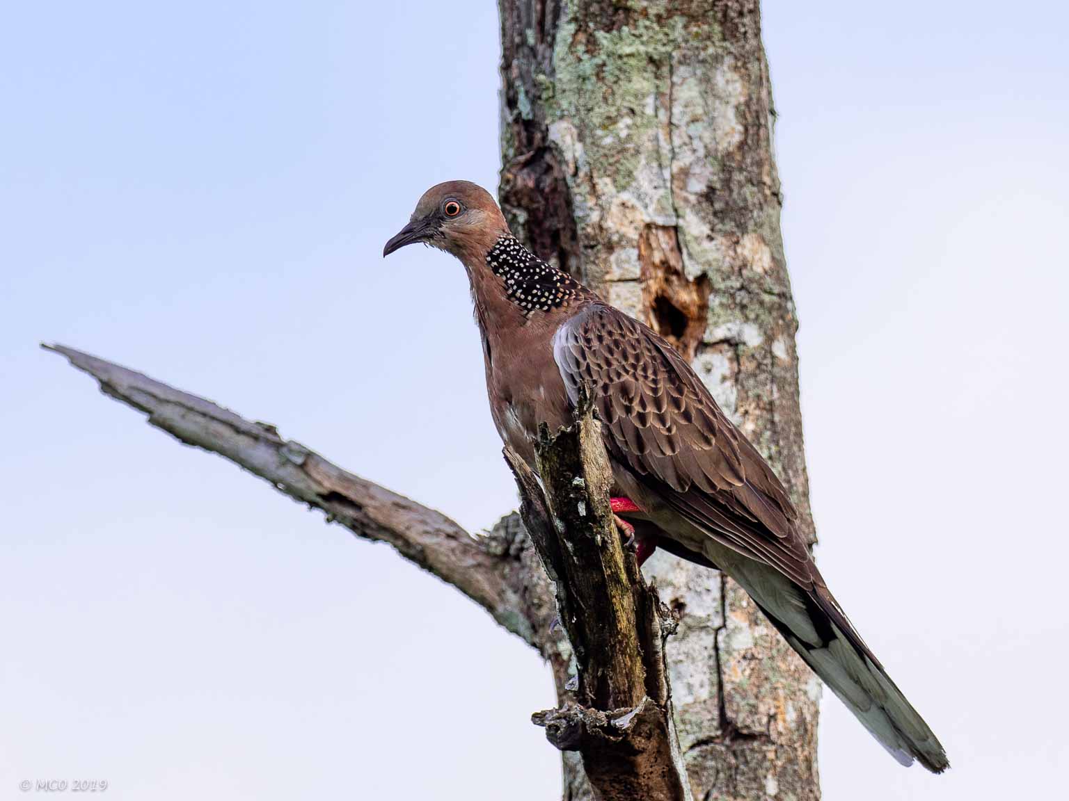
- Spotted Dove
-
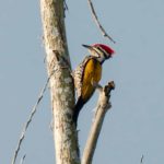
- Flameback (cf Pileated)

-
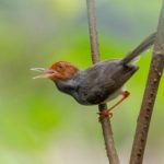
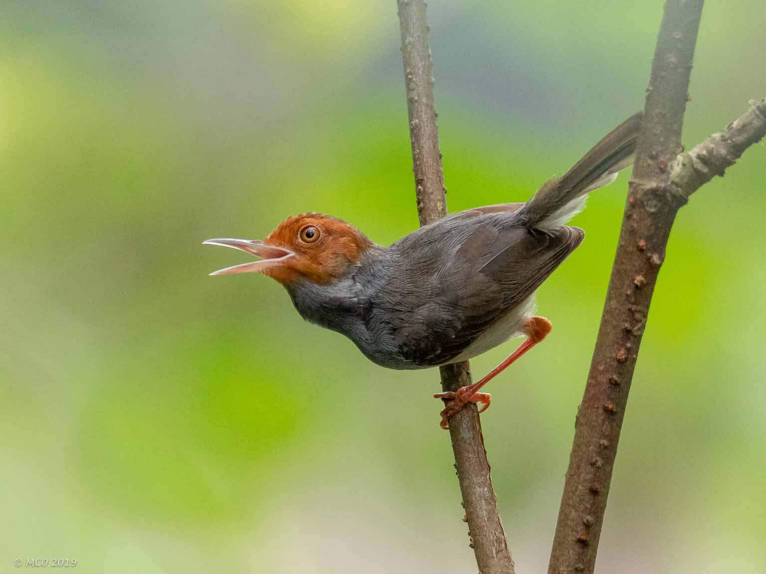
- Tailorbird
-
- Type Unknown
-

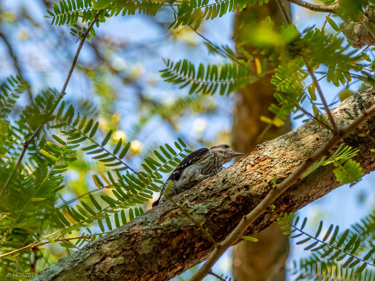
- Sunda Pigmy Woodpecker
-
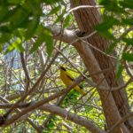
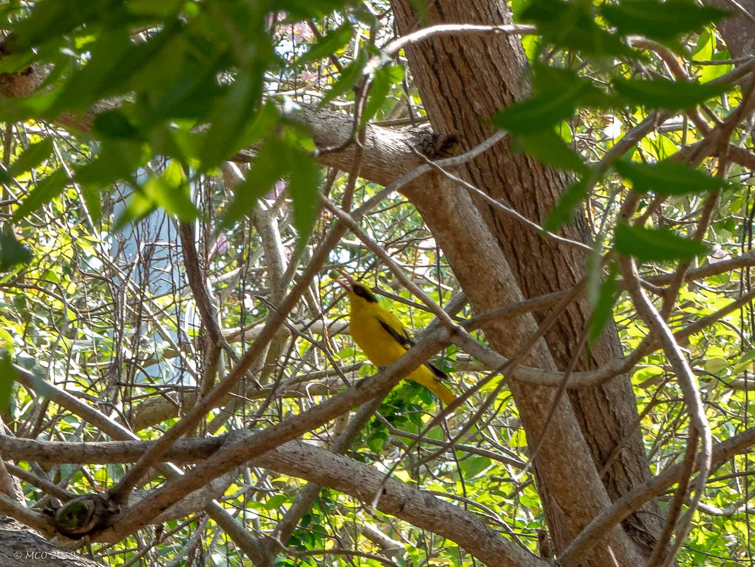
- Black Naped Oriole
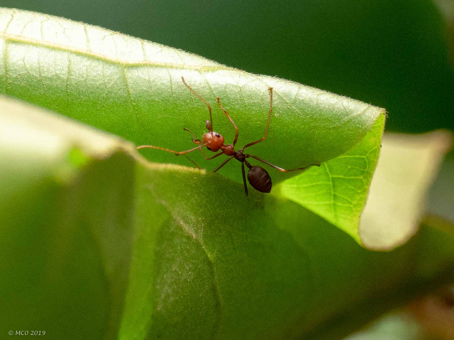
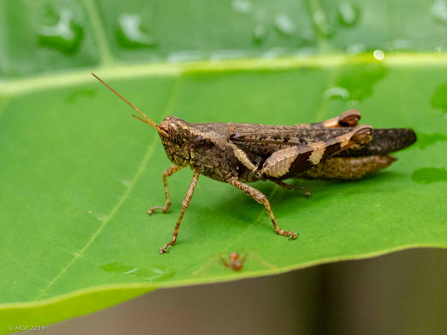
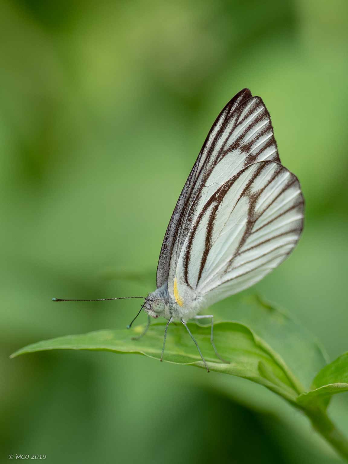
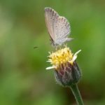
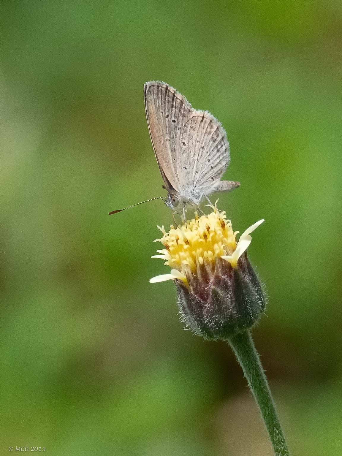
Insects
Click on any thumbnail below to see larger size image gallery.
-
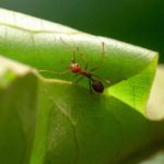
- Ant nest under construction
-
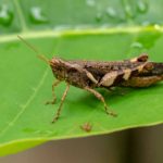
- Grasshopper, species unknown
-
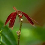
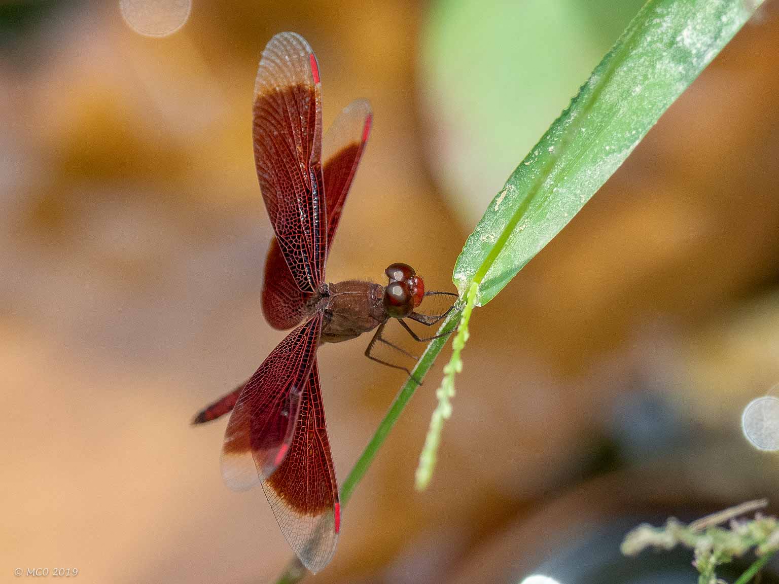
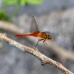
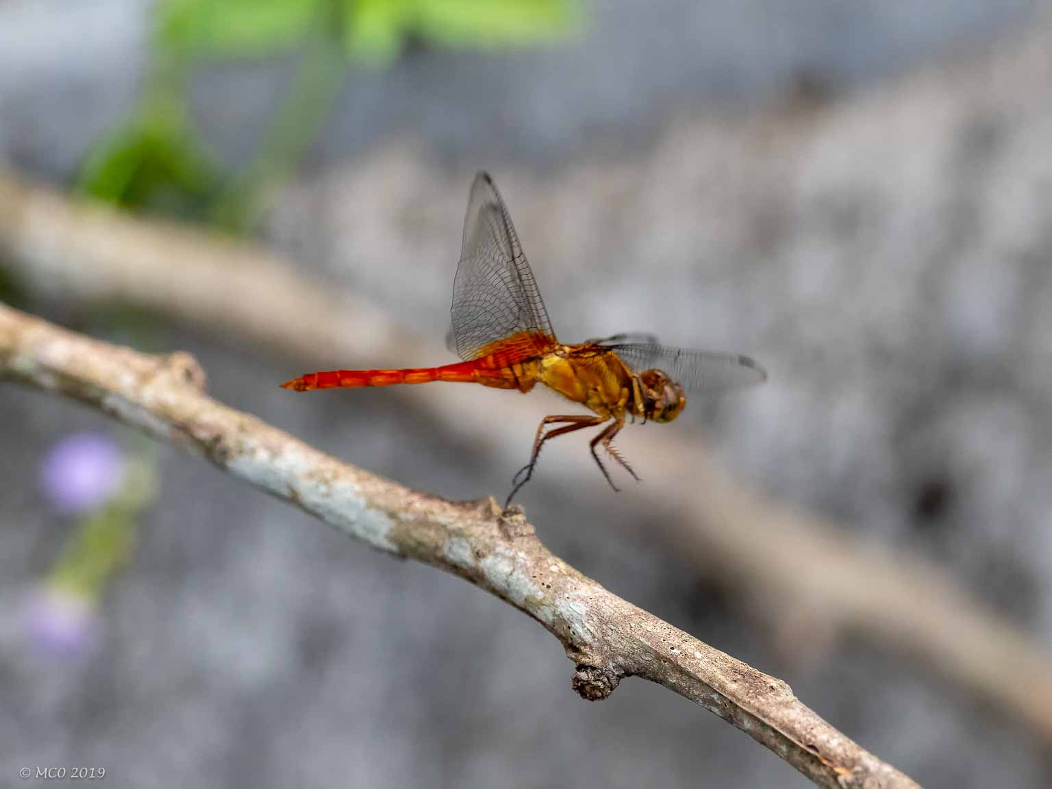
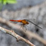
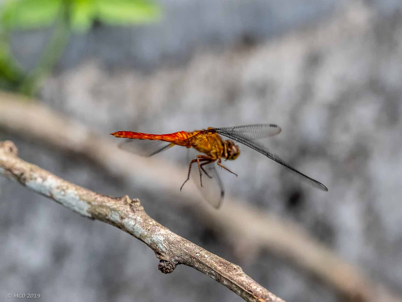
- Indonesian Red-Winged Dragonfly
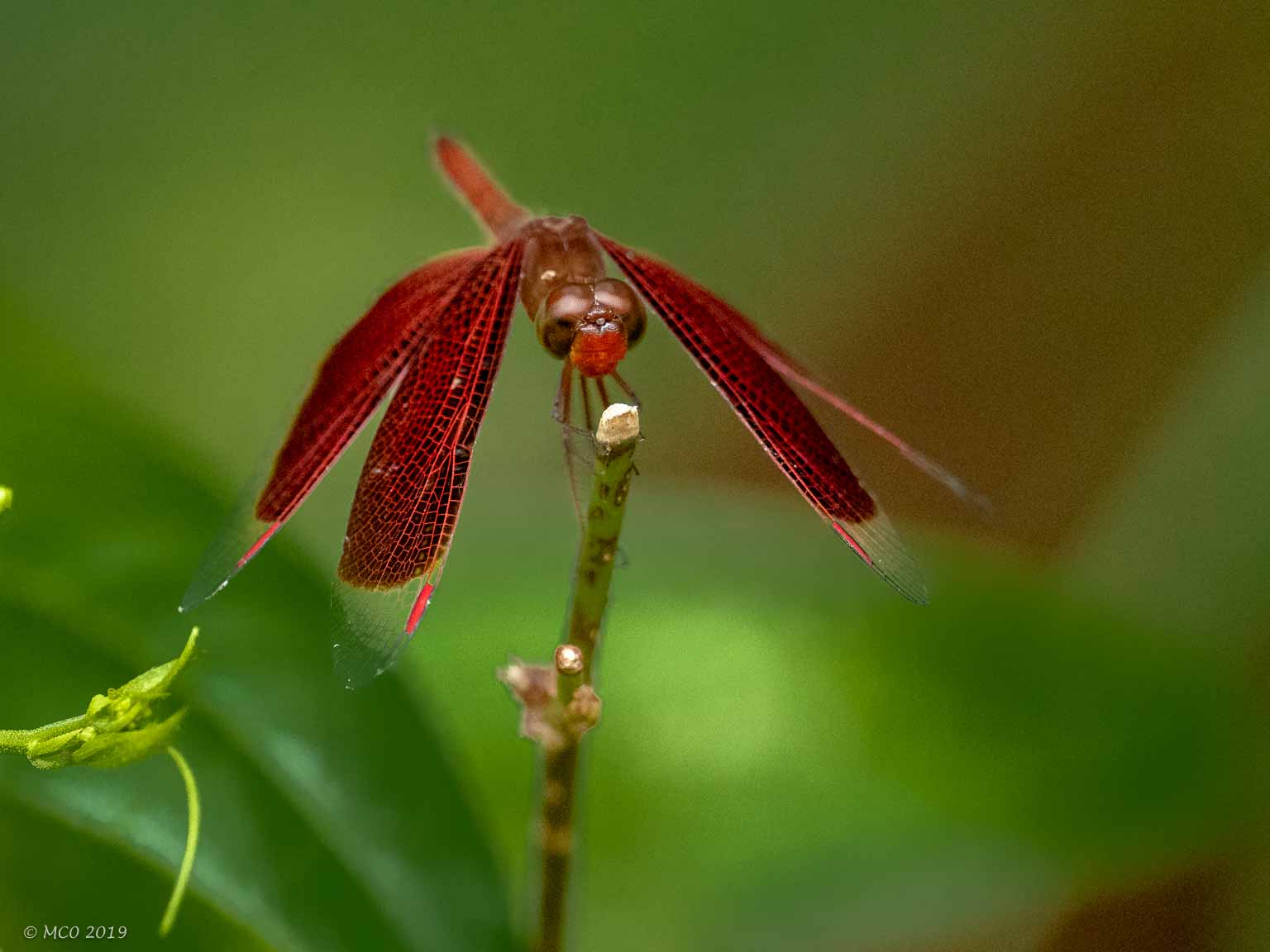
-
- Indonesian Red-Winged Dragonfly
-
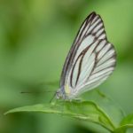
- Small Butterfly
-
- Moth…
-
- Pollinating in pairs
-
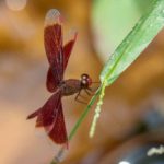
- Malaysian Dragonfly
-
- taking off…
-
- …
Click on map to show location detail
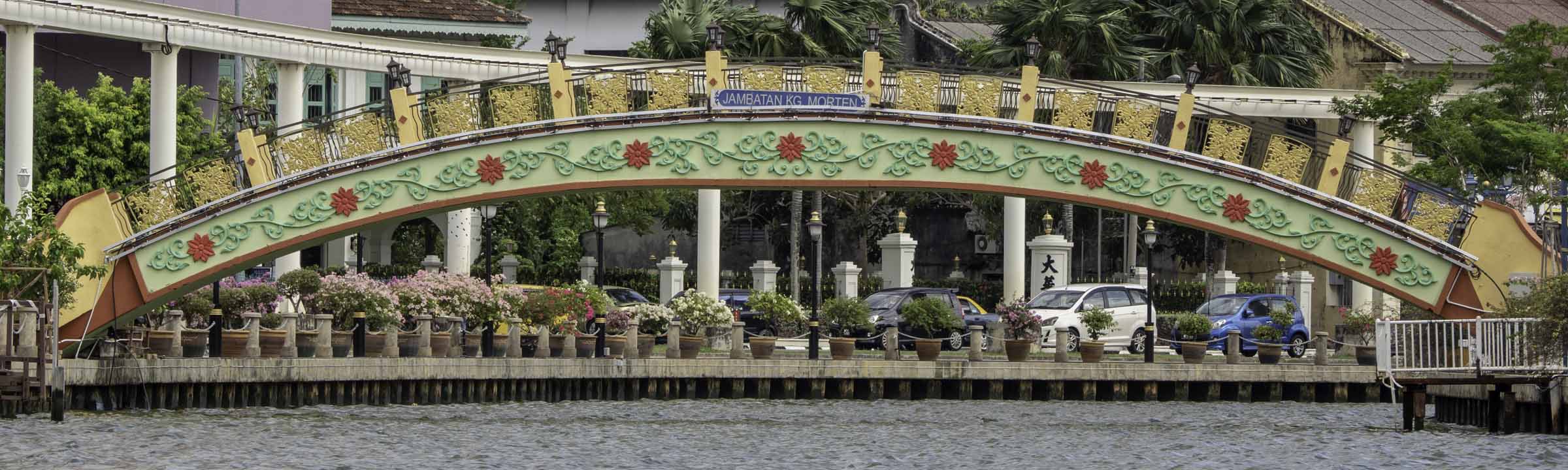
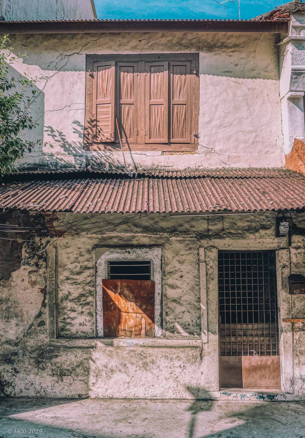
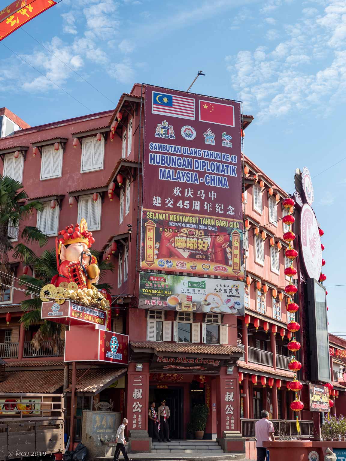
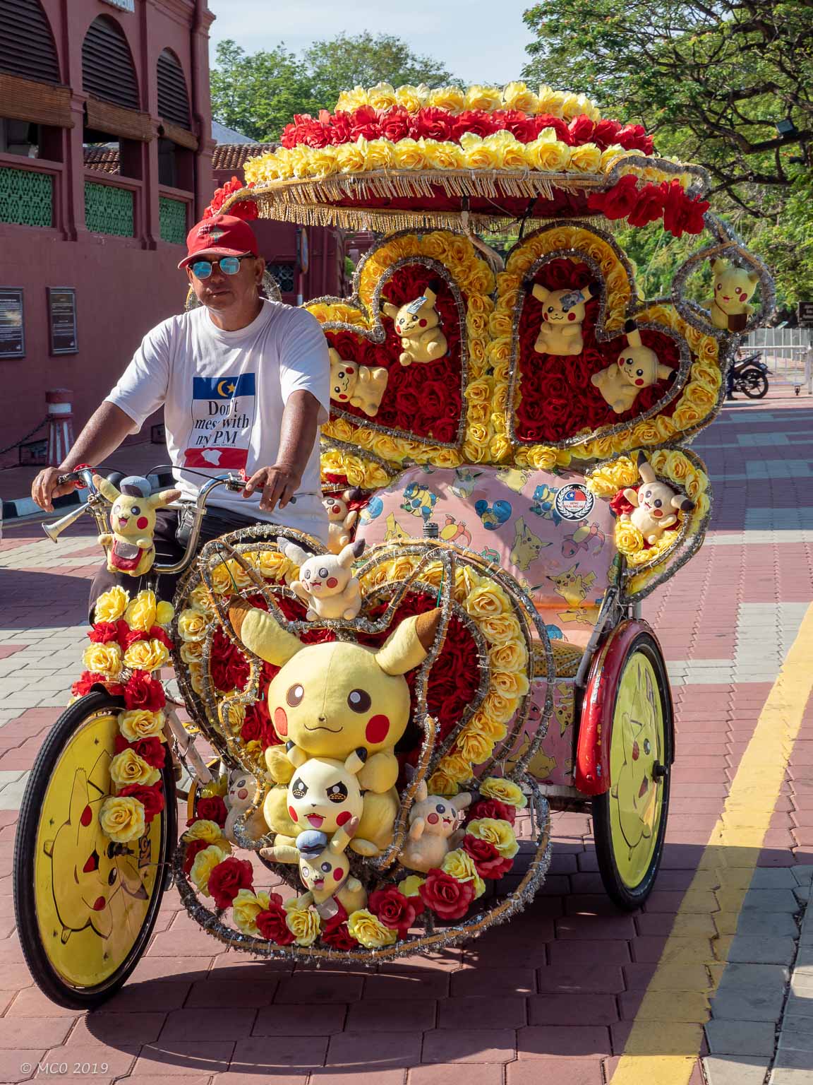
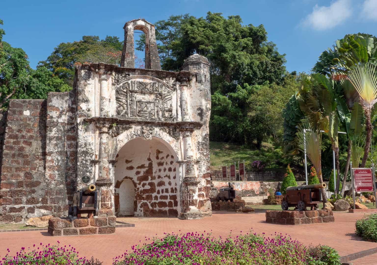
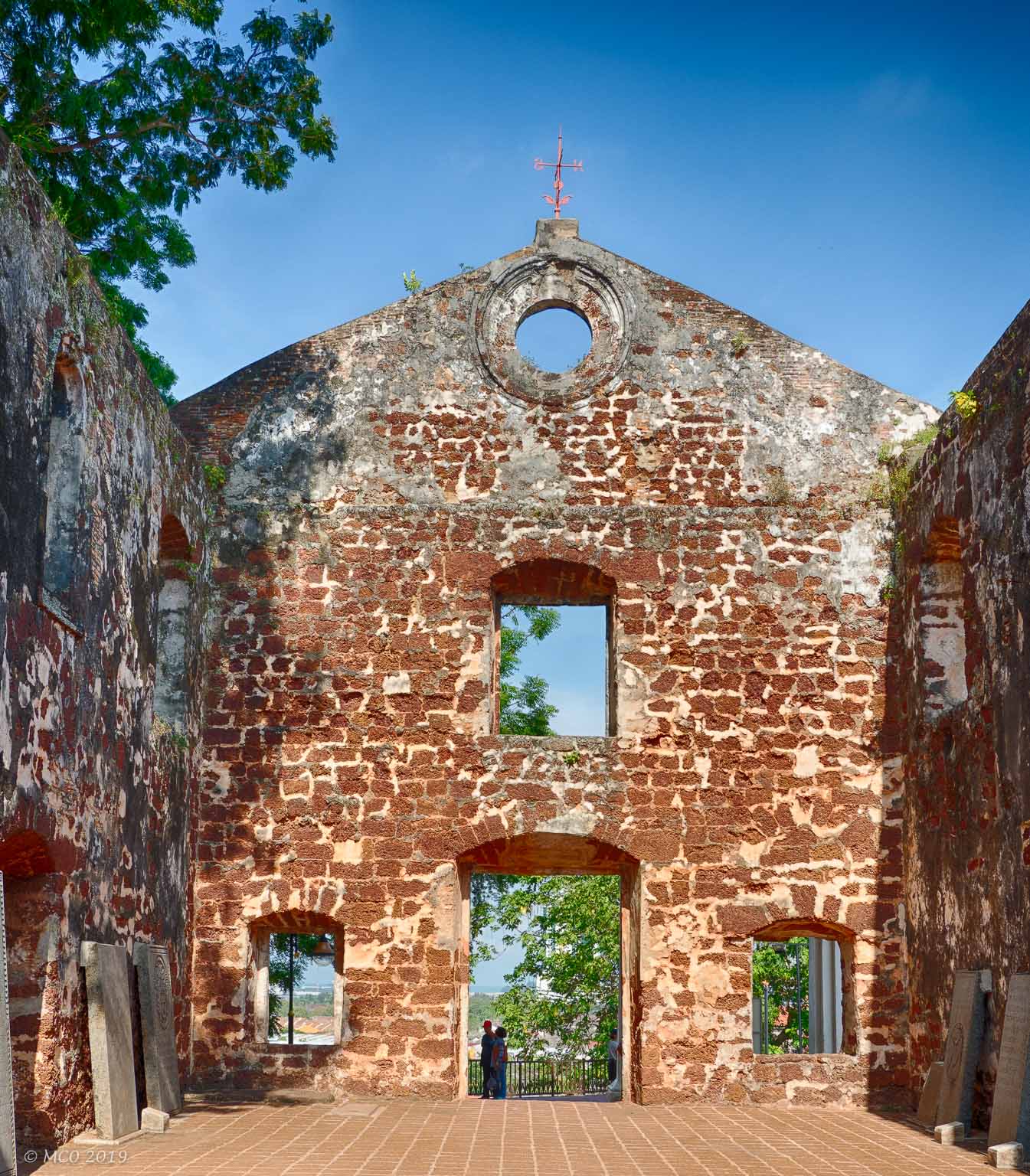
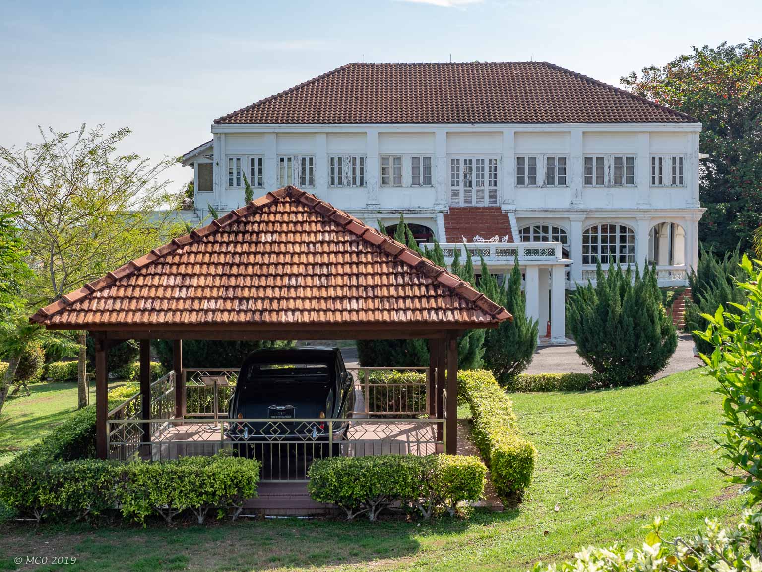
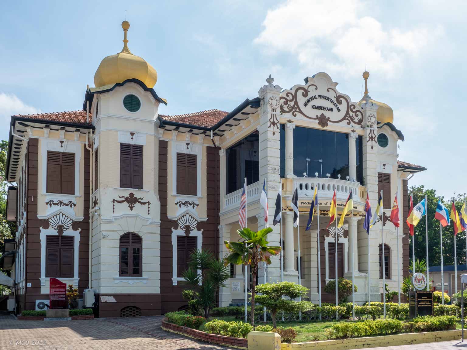
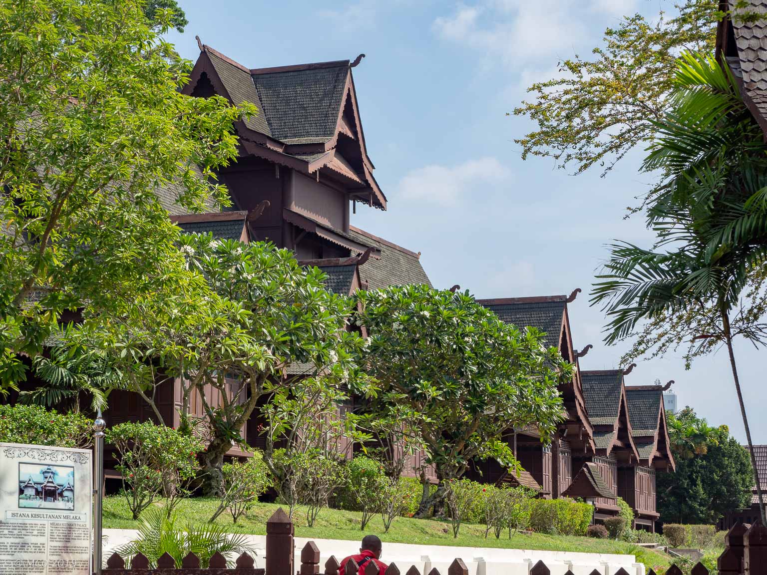
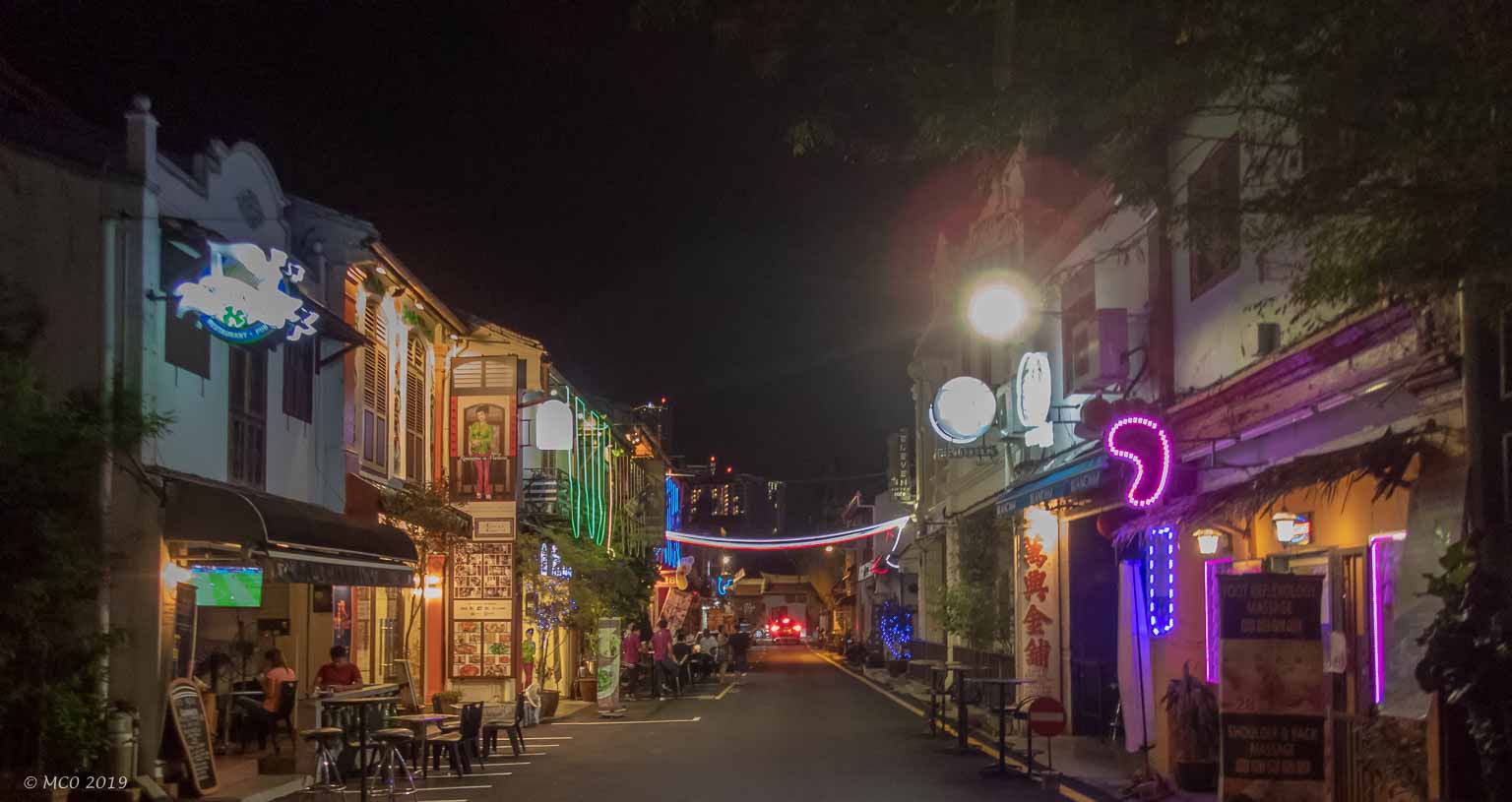
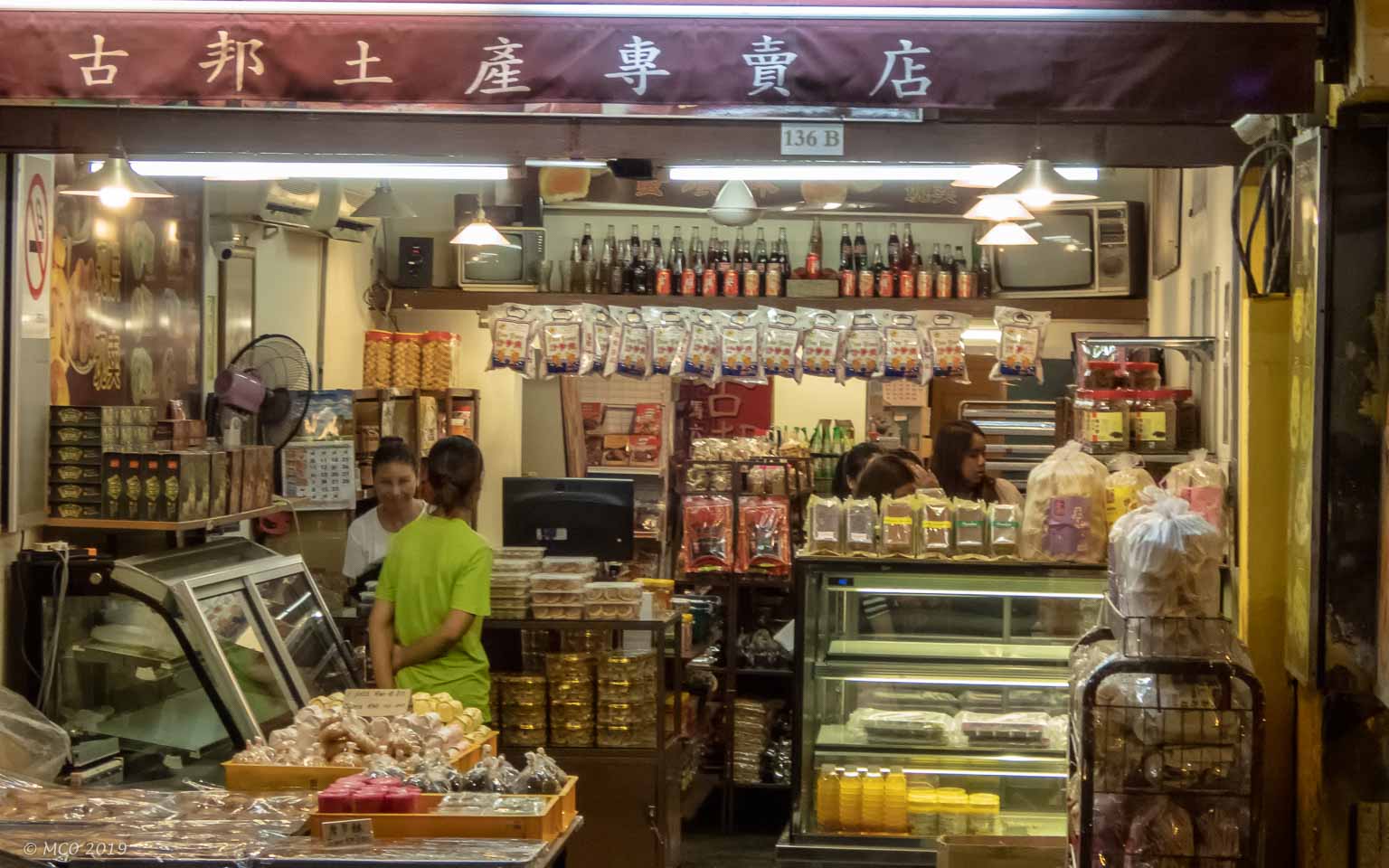
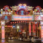
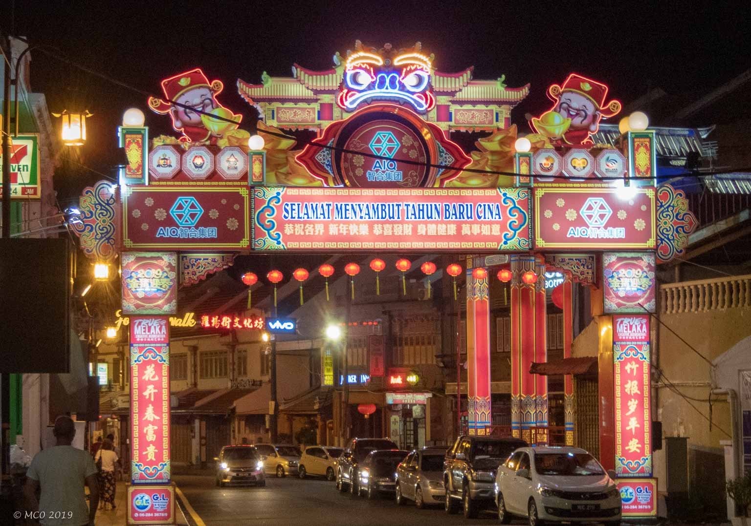
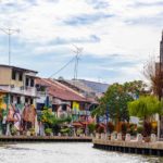
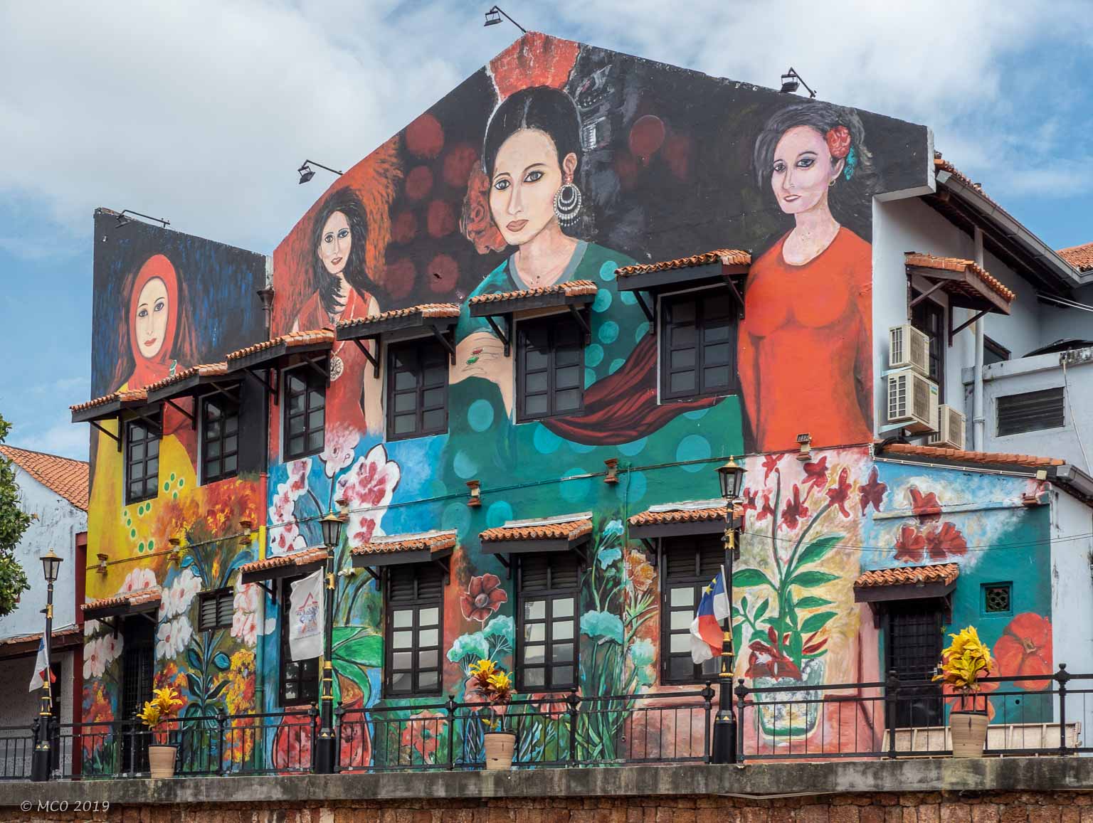
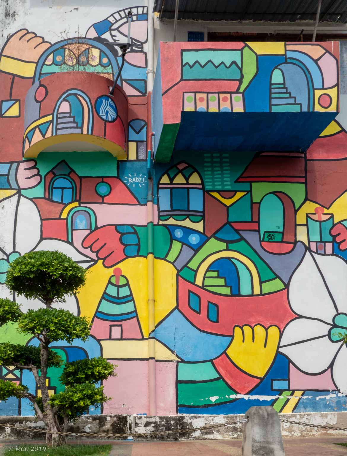
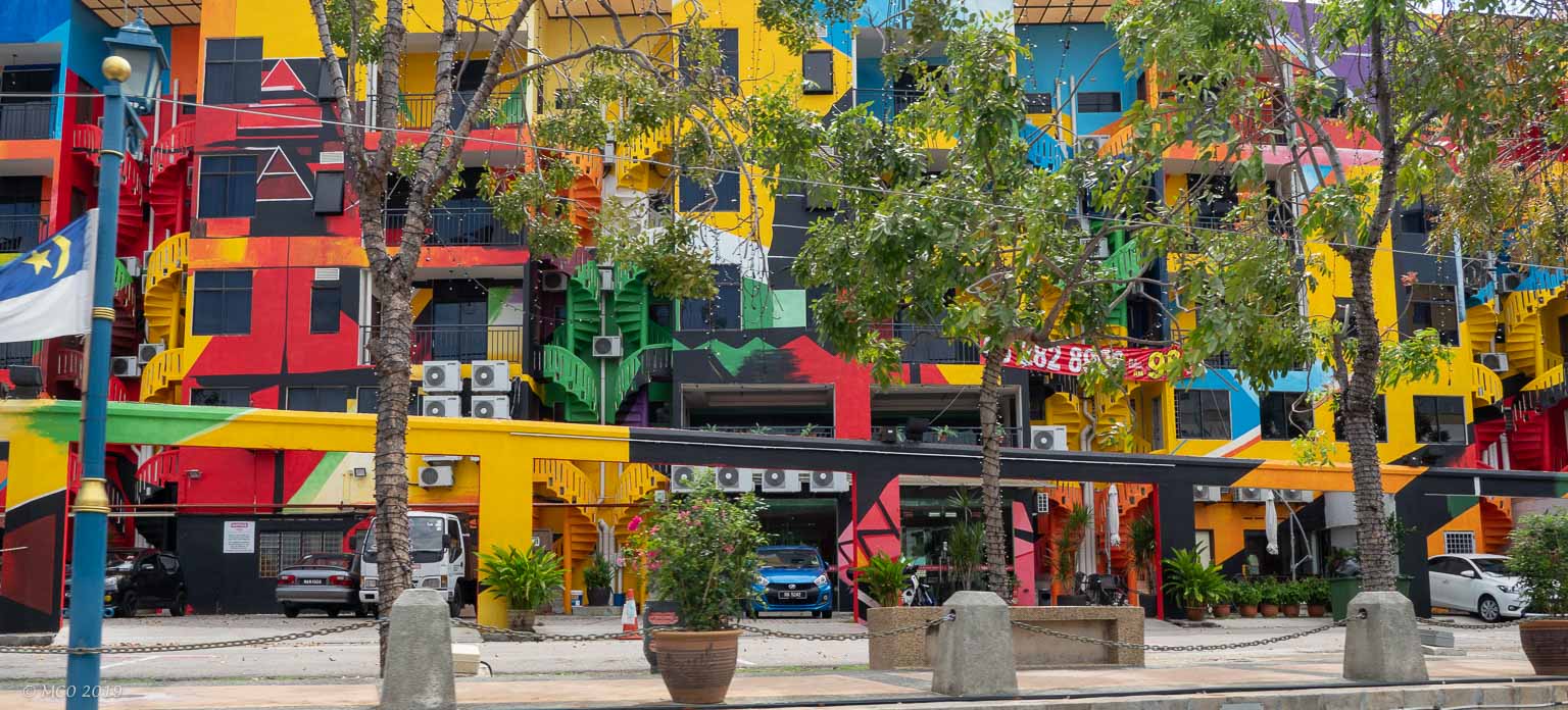
My son Jon and I took off for a two day trip to the town of Malacca (Malay spelling – Melaka). The town has an interesting history, situated at the narrowest point of the Malacca Straits between Malaya and Sumatra, Indonesia. It had the benefit of a sheltered harbor and a prime position relative to trade routes and monsoon winds. Founded by an Indian exile, it was taken over by the Chinese (1405), the Portuguese (1509 and again in 1511 after being expelled), the Dutch (1641), the British (1824), the Japanese (1942), and then back to the British in 1946. Malayan independence was declared in Malacca in 1957.
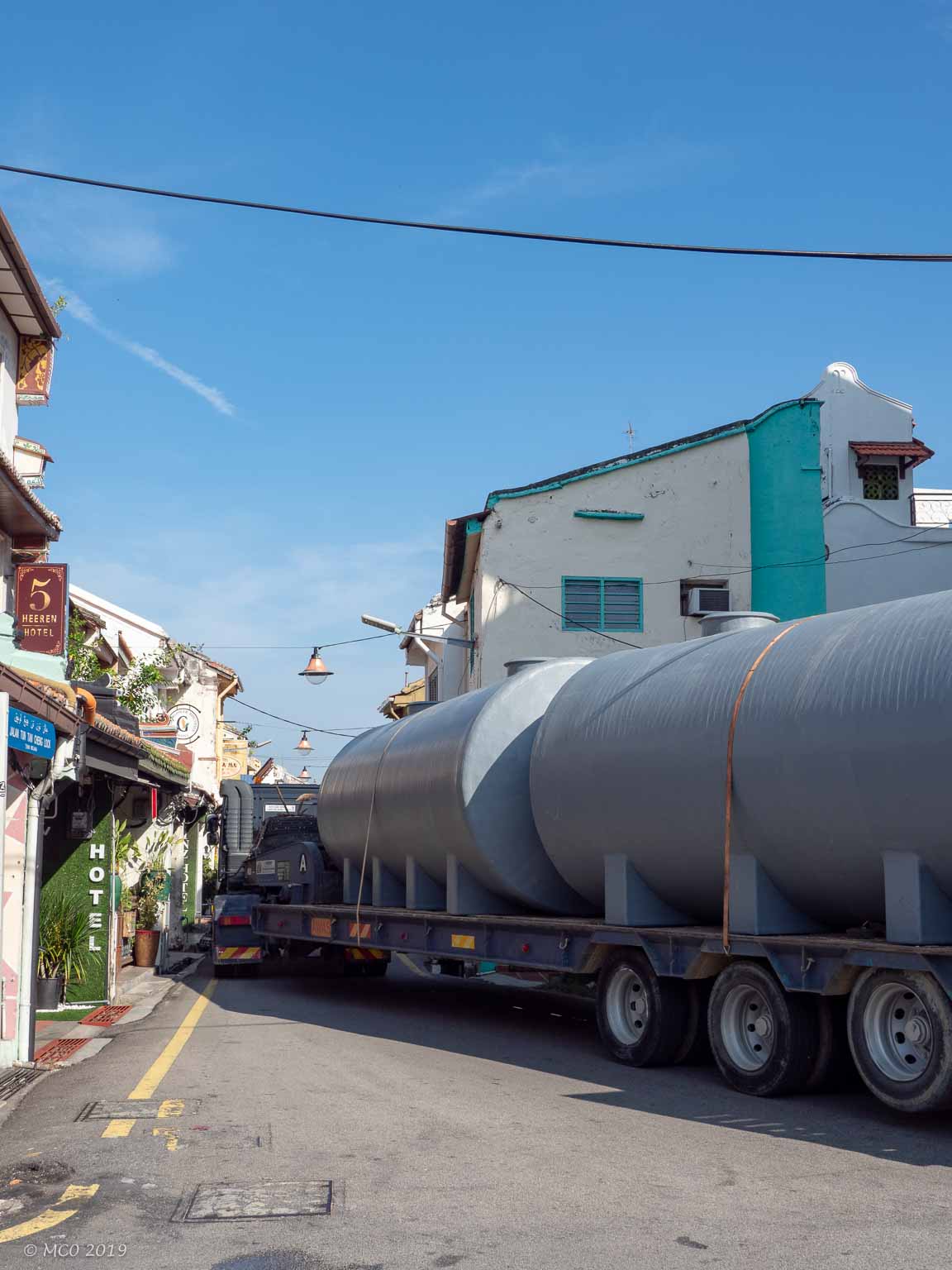
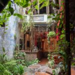
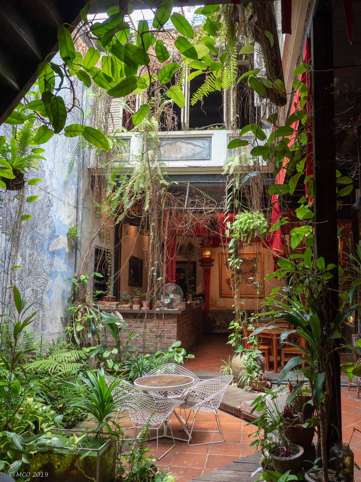
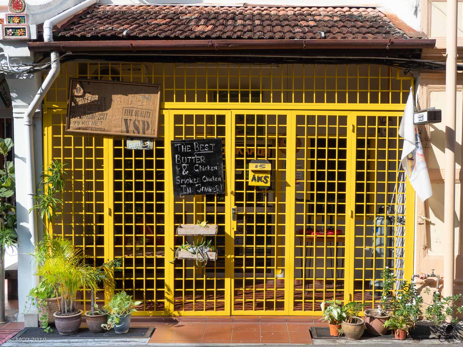
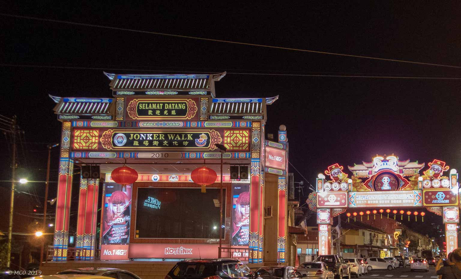 Because of its historical significance and cultural diversity, Malacca has been recognized as a UNESCO World Heritage site. While enjoying ‘treasures’ such as the hotel we stayed in, the Baboon Cafe, and the Geographer Cafe, I was a little disappointed that the streets and many buildings were not well looked after and there was a constant battle with traffic in the town center. The invasion of many neon signs, e.g. for foot massage parlors, did not help. We missed the famous Jonker Street Night Market which is only held on weekends. However the ‘Dad and Lad’ experience was fun.
Malacca Town Center
Click on any thumbnail below to see larger image gallery.
-
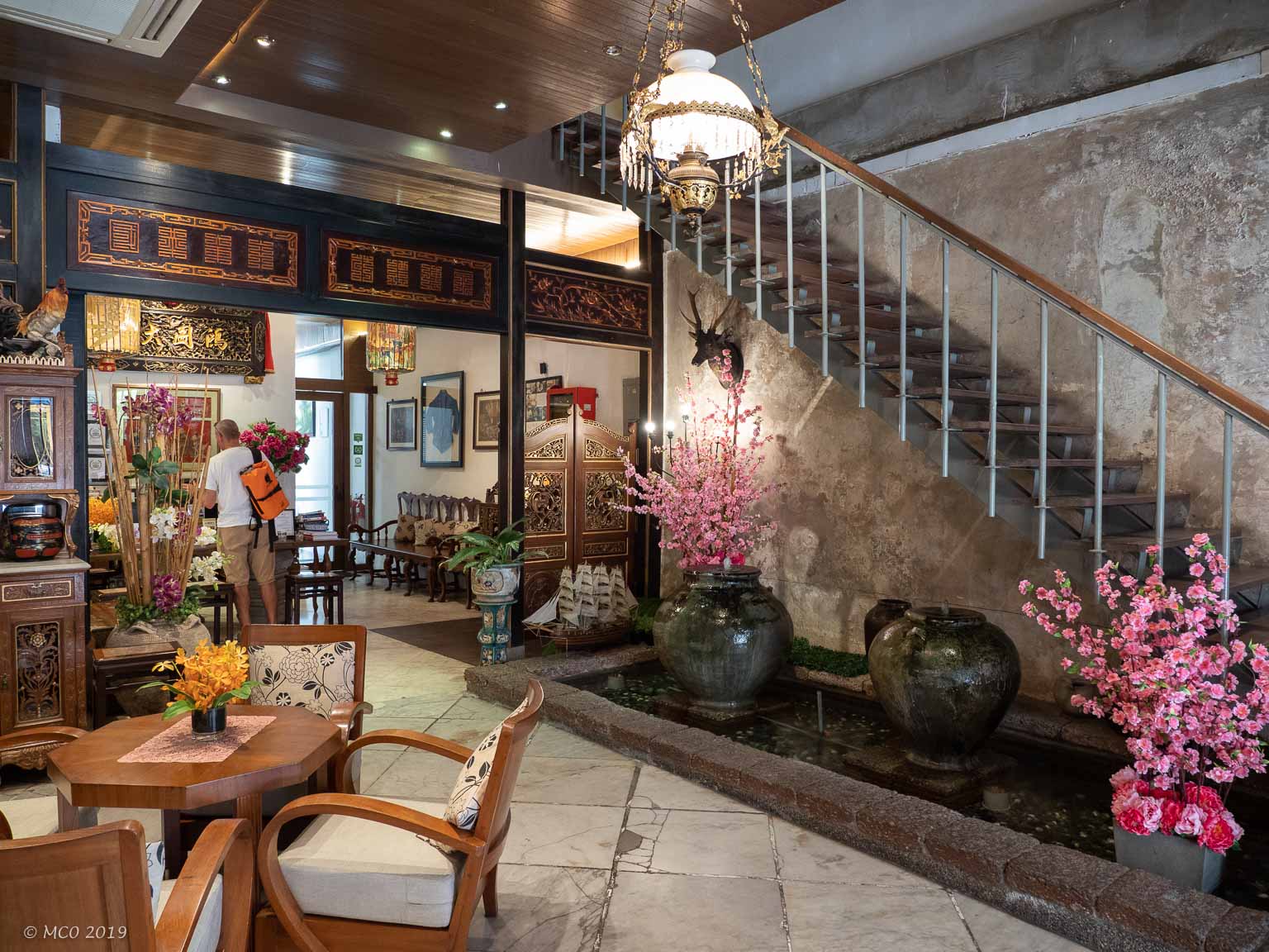
- Hotel Lobby
-
- Baboon Cafe
-
- Village Streets
-
- …
-
- …
-
- …
-
- …
-
- Jonker Street
-
- Tourist Transport
-
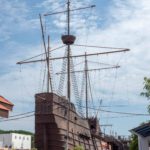
- Portugese ‘Flor de la Mar’ replica
-
- A Famosa Fort
-
- Fort
-
- (Ex) Governor’s Mansion
-
- Independence Memorial (previously the British Malacca Club)
-
- Sultan’s Palace
-
- Jonker Street Nightscape
-
- Chinese store
-
- Jonker Street Nightscape
-
- River Lights
-
- River Lights
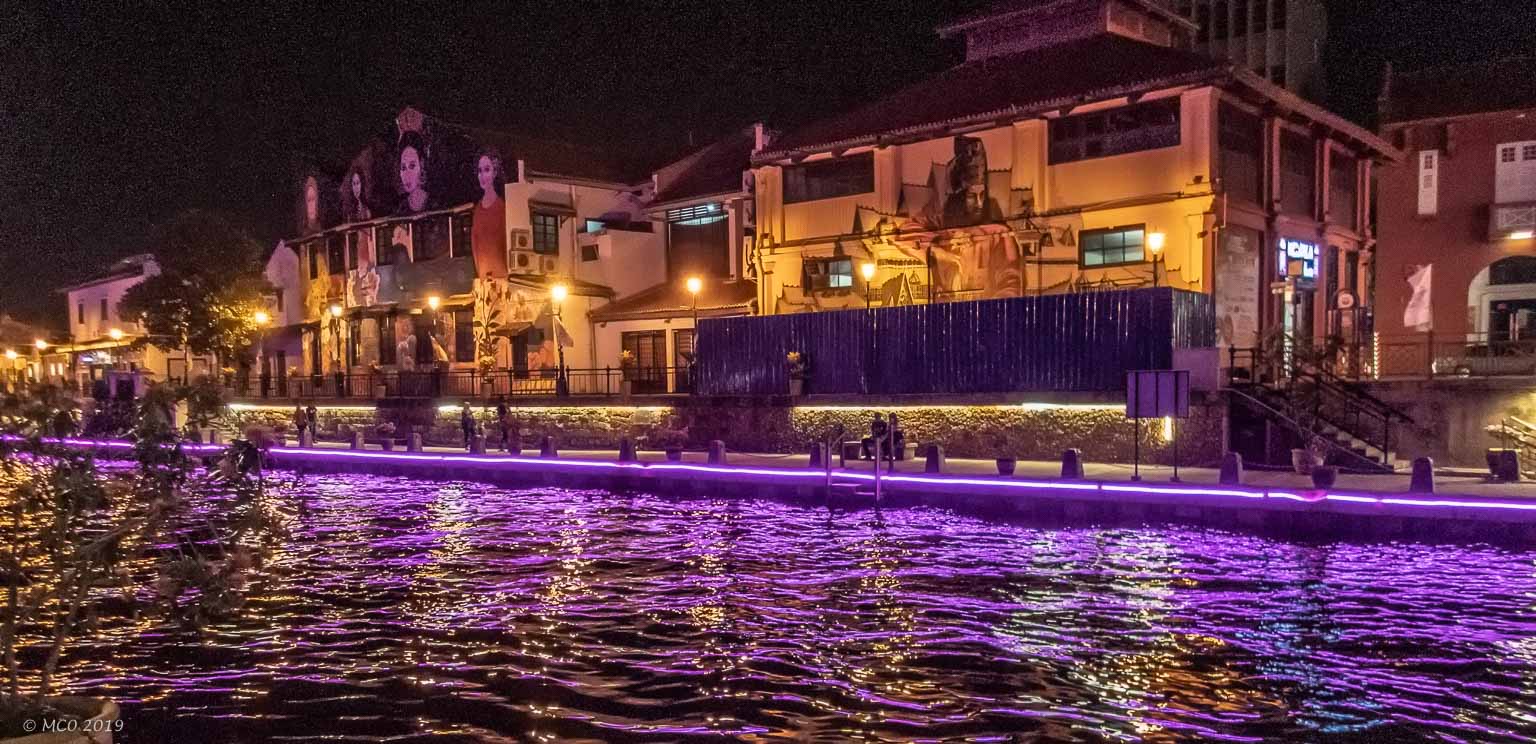
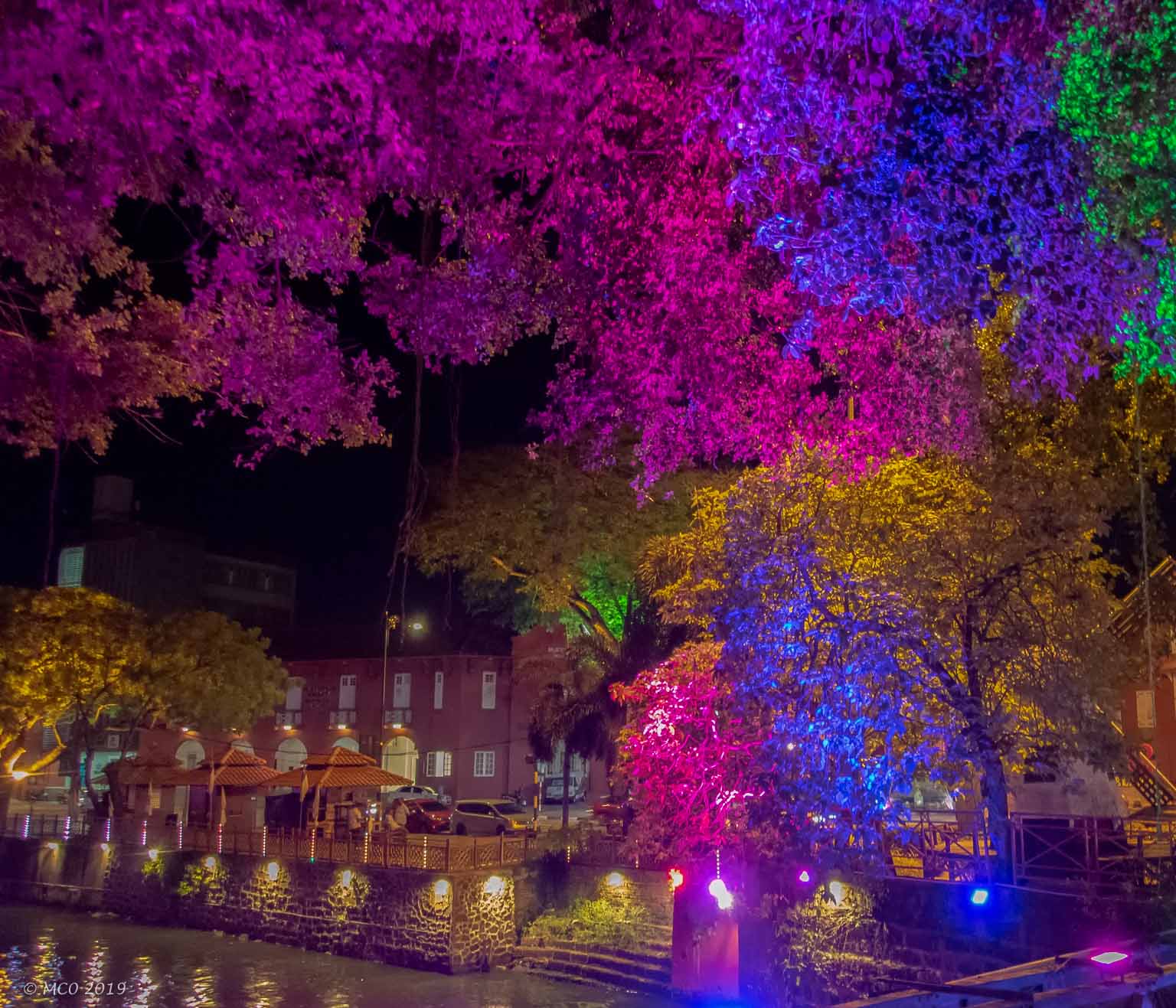
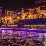
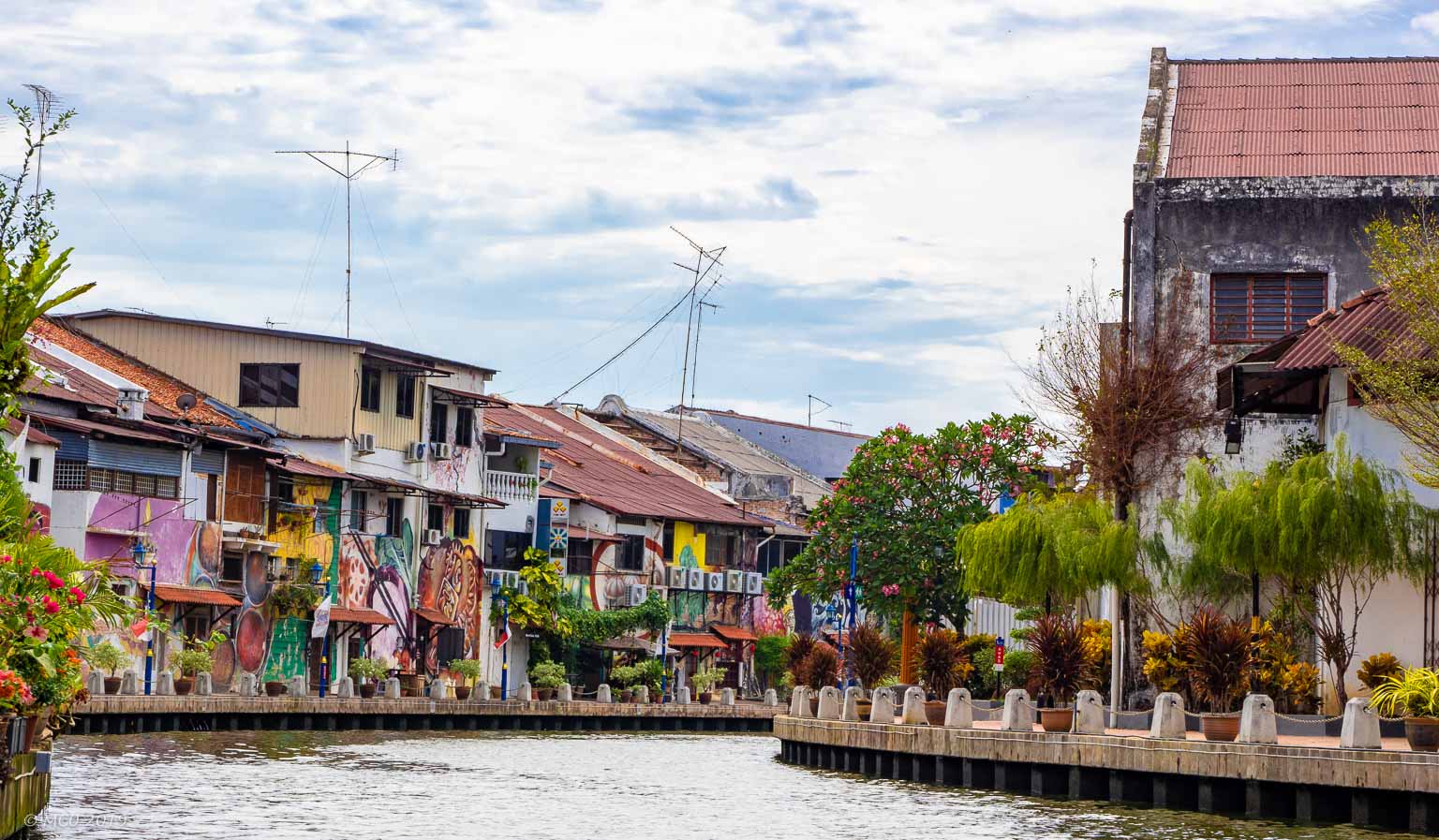
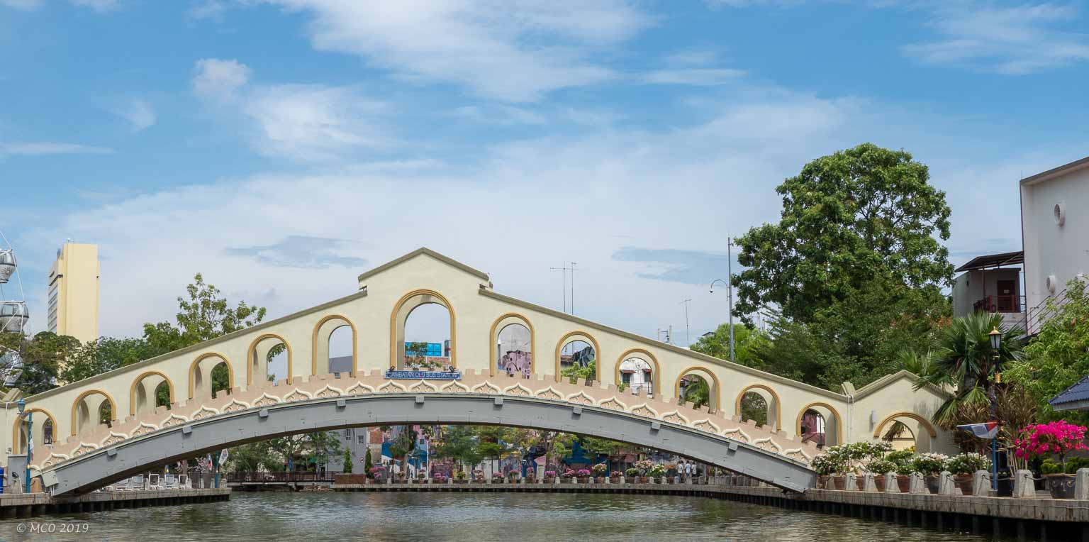
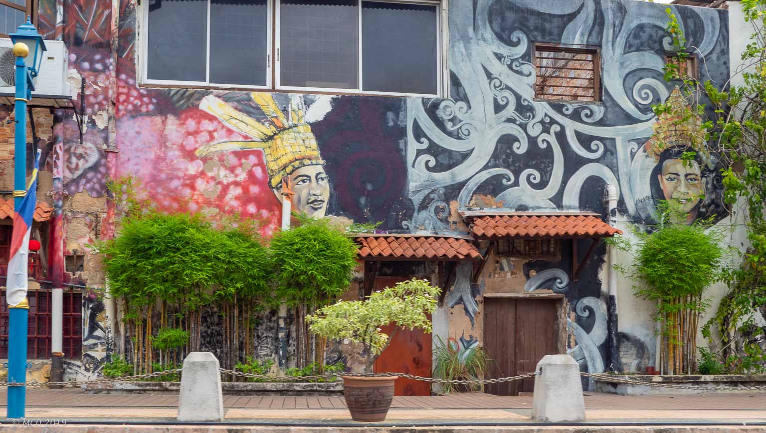
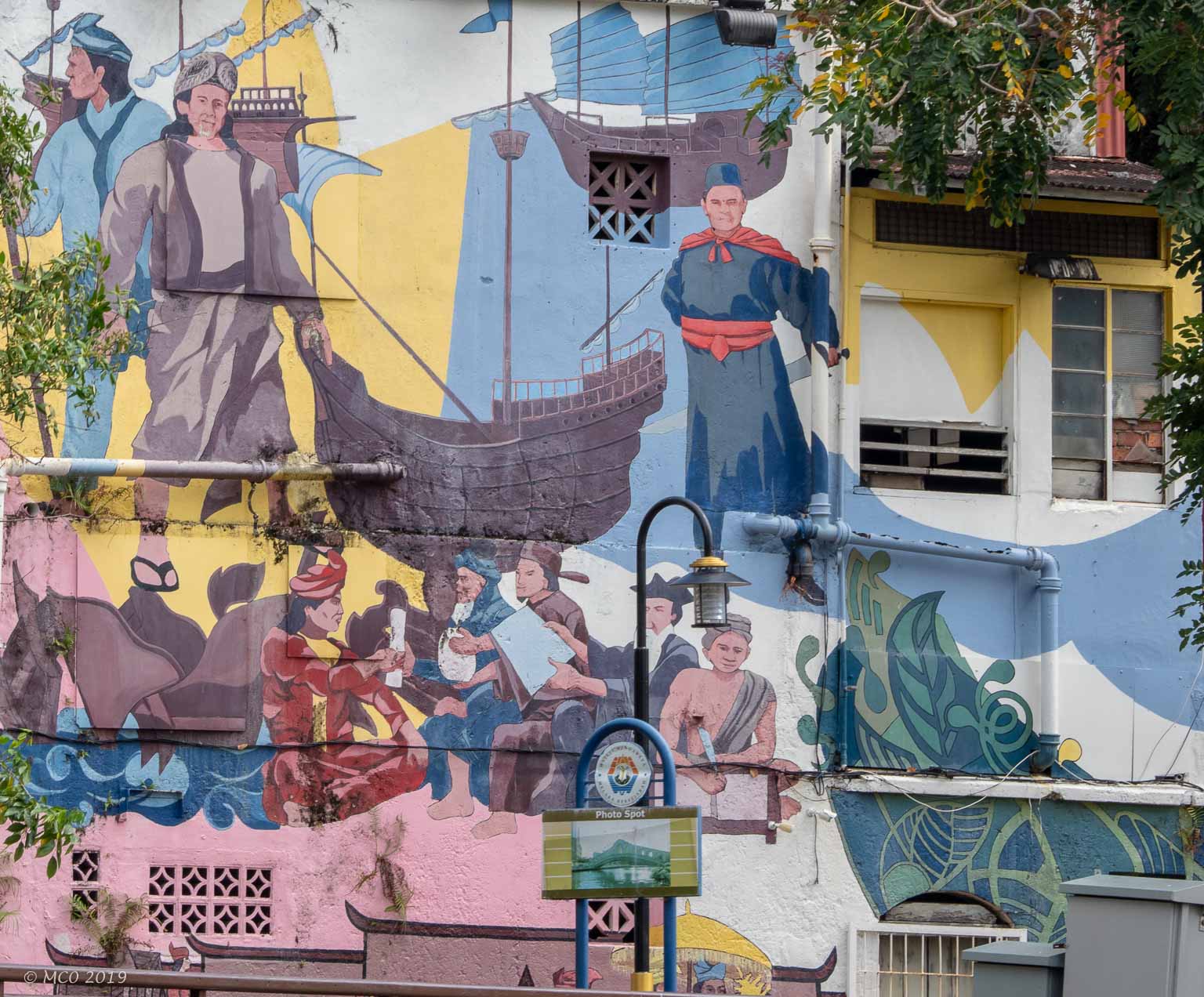
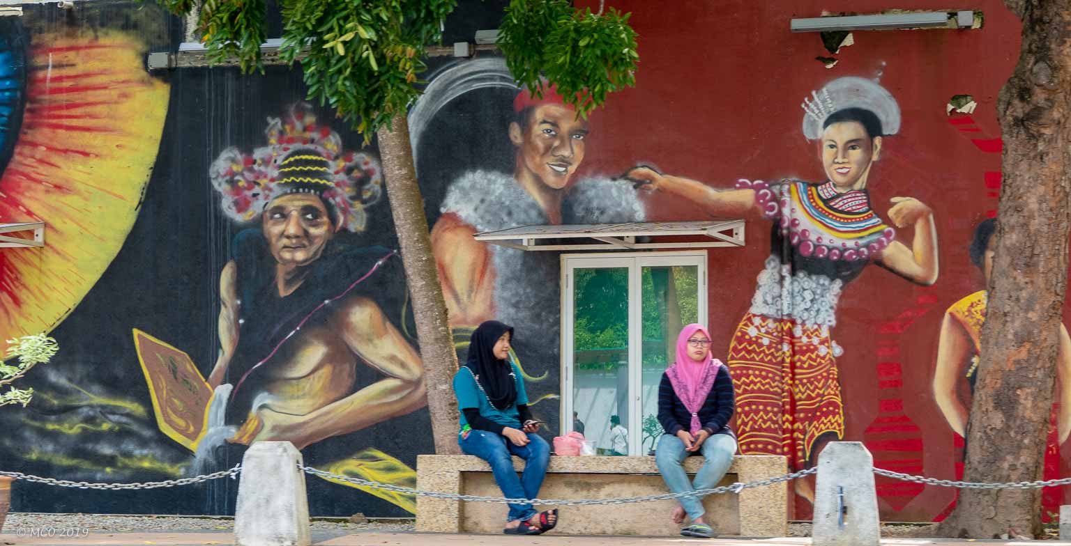
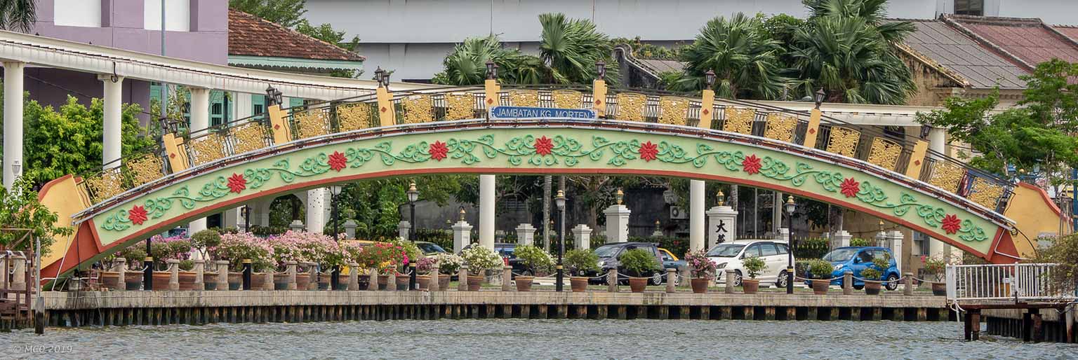
We took a cruise up the Malacca River, enjoyed looking at the murals and brightly colored buildings
Click on any thumbnail below to see larger image gallery.
-
- River Cruise
-
- Footbridge
-
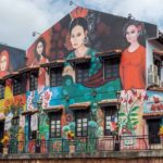
- Murals…
-
- Footbridge
-
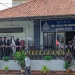
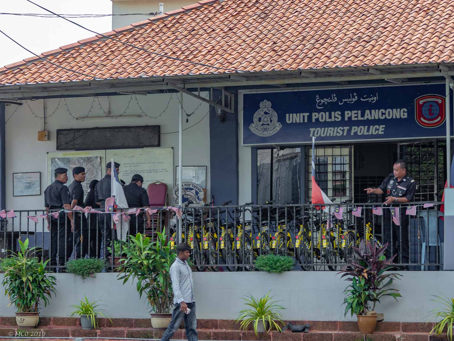
- Tourist Police??
Click on map to show location detail
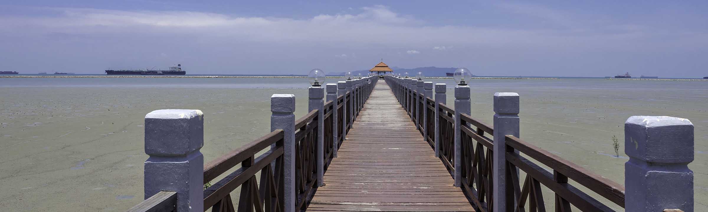
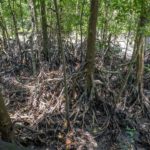
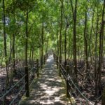
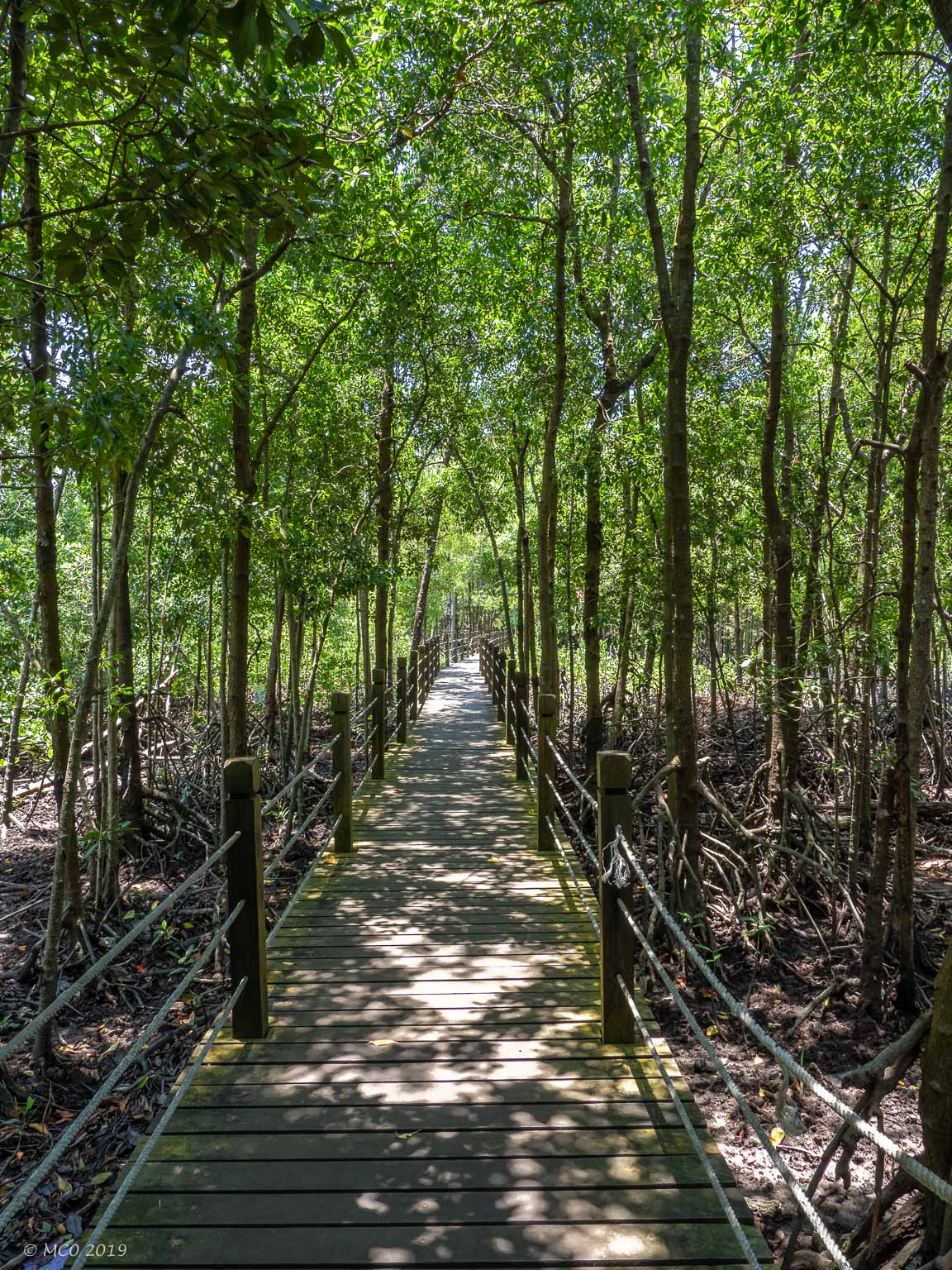
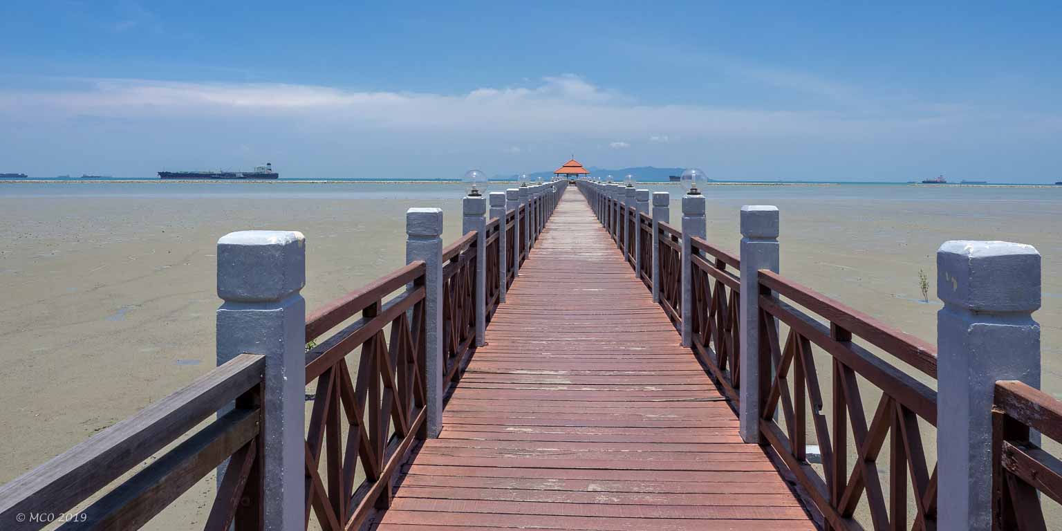
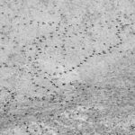
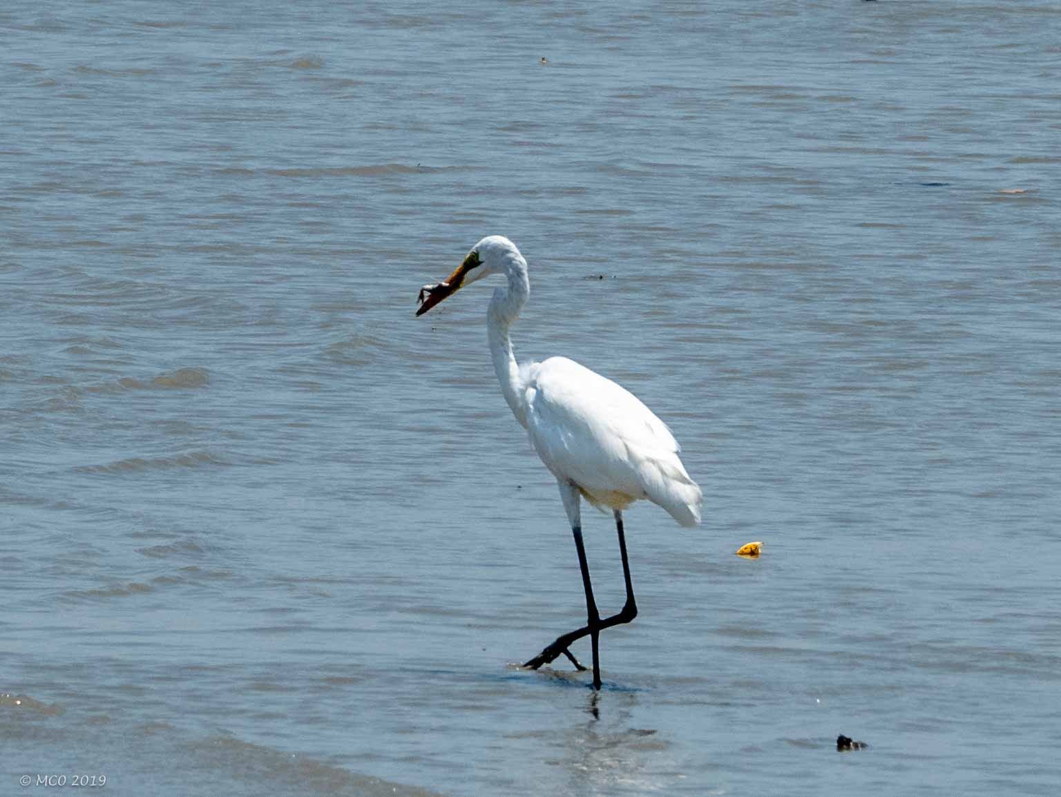
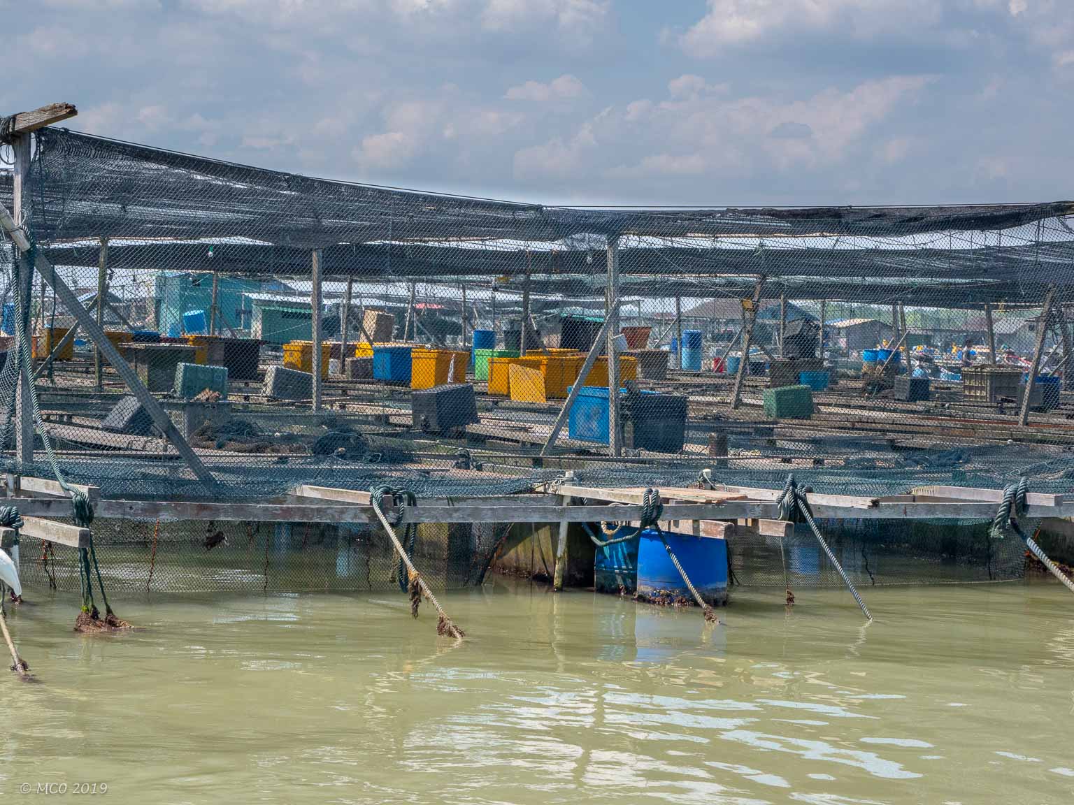
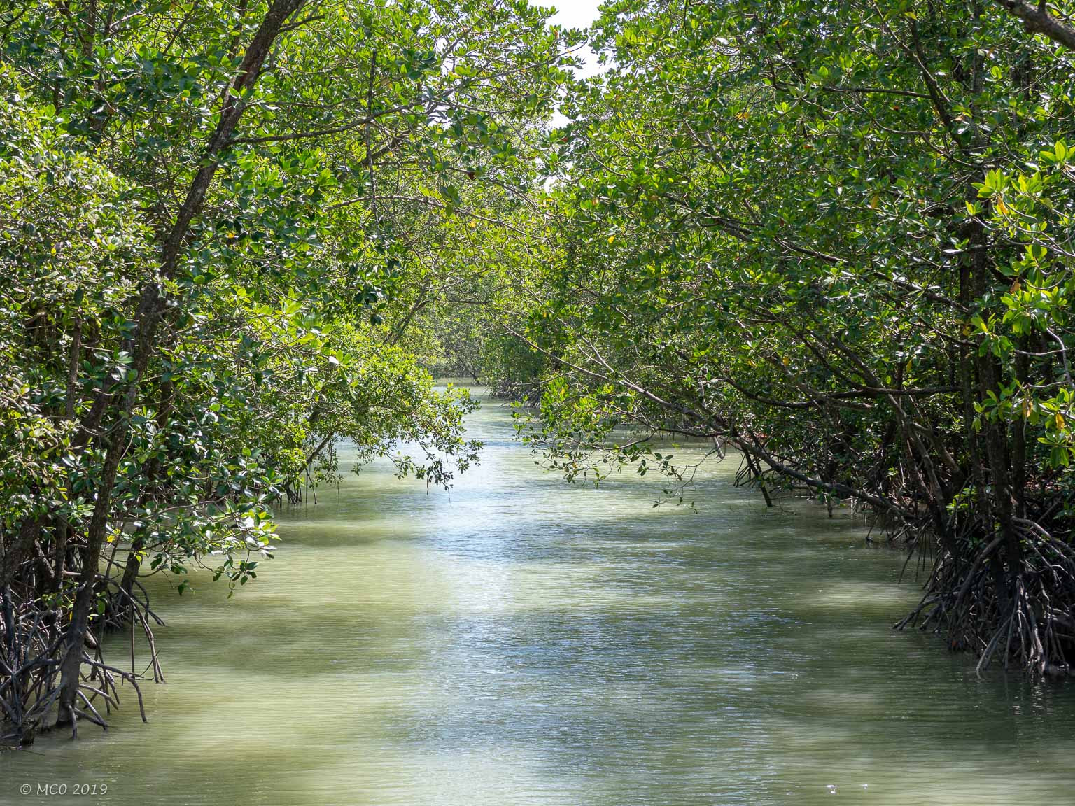
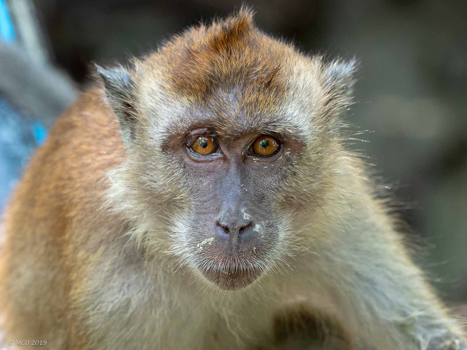
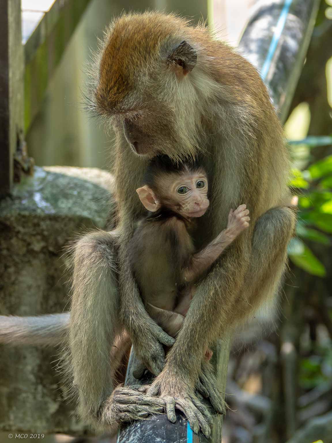
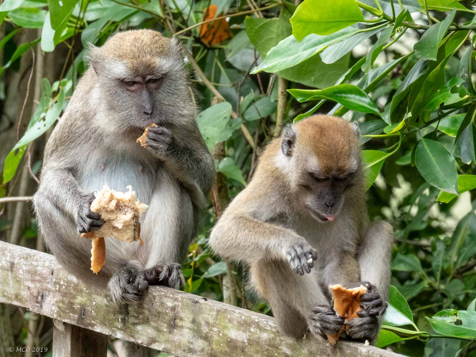
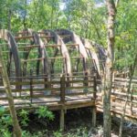
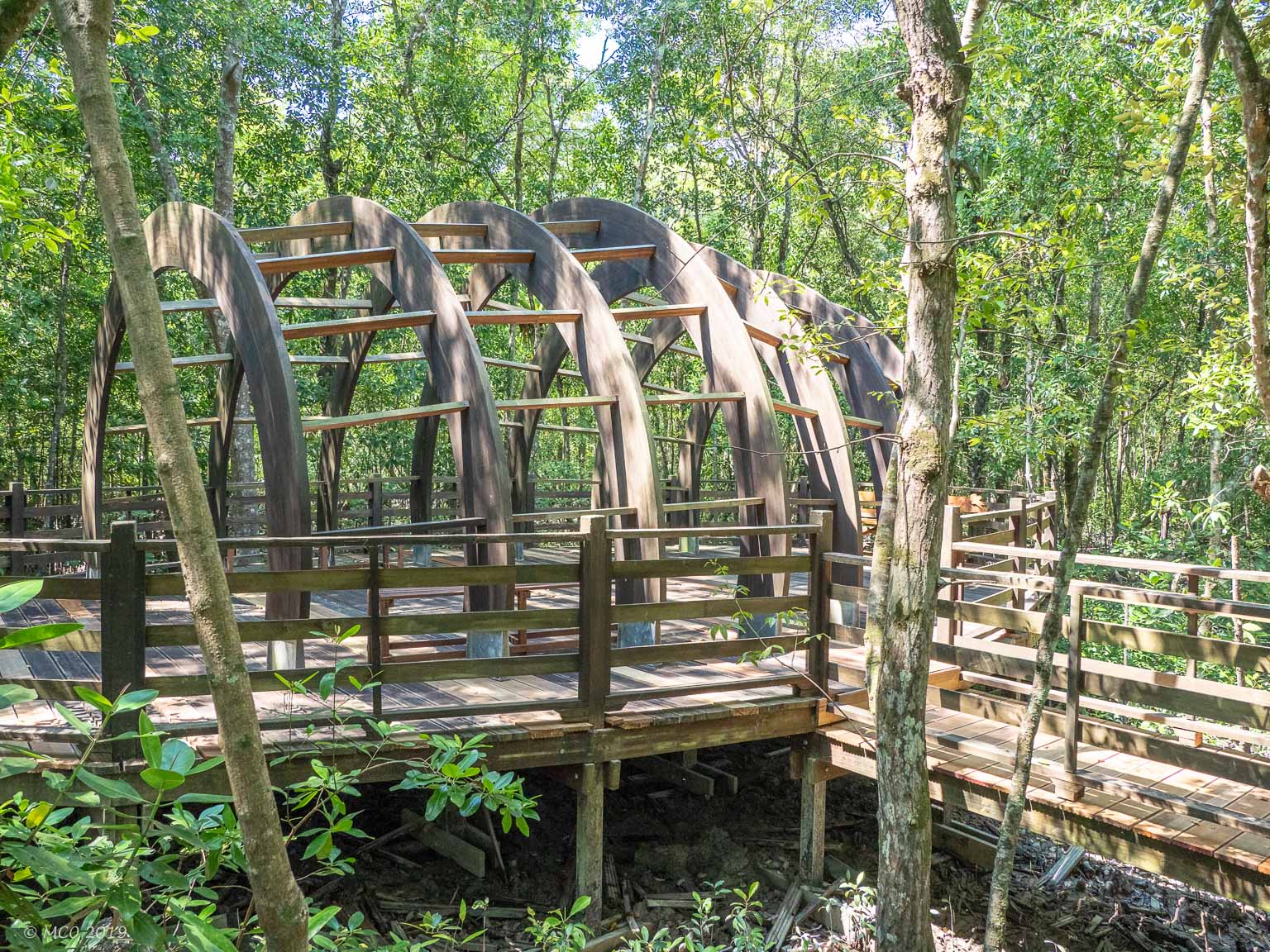
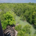
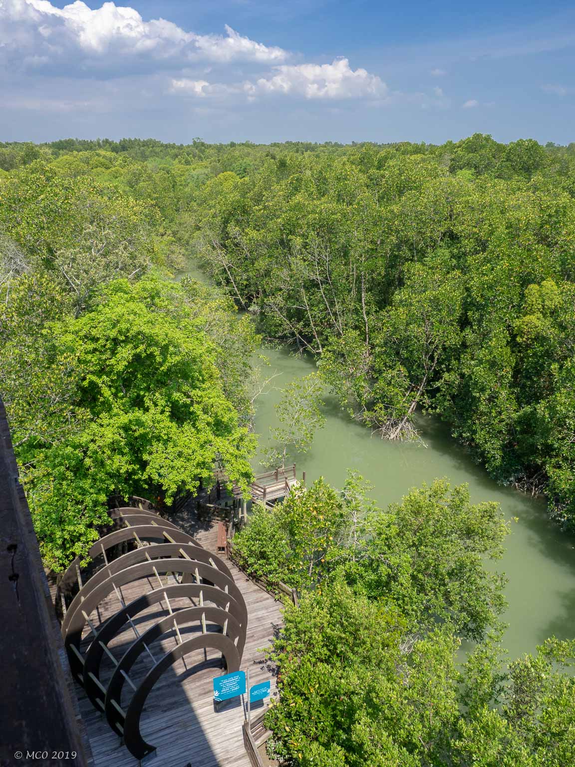
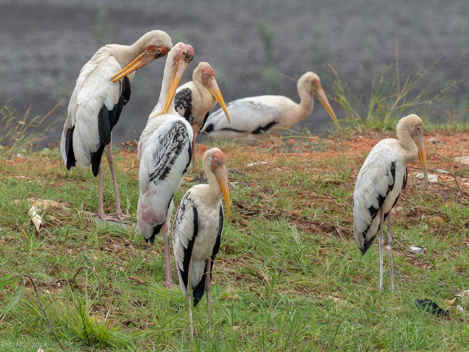
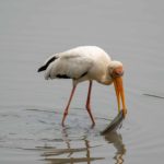
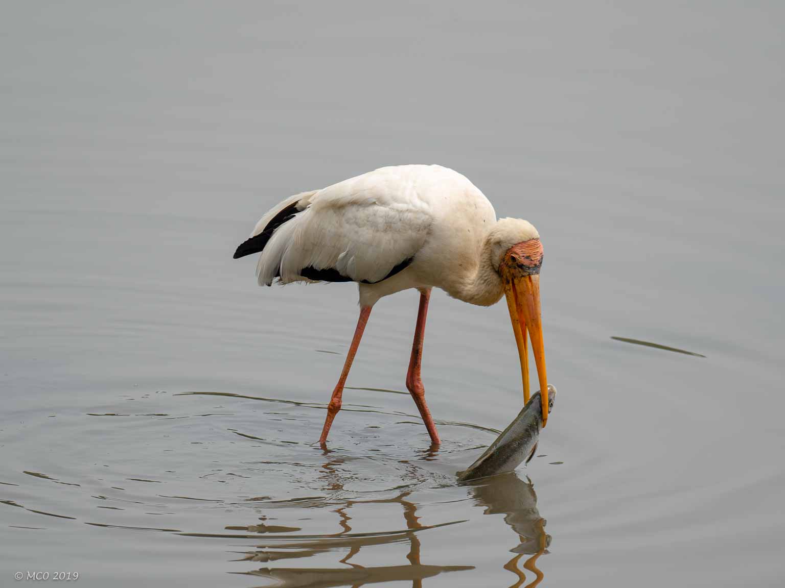
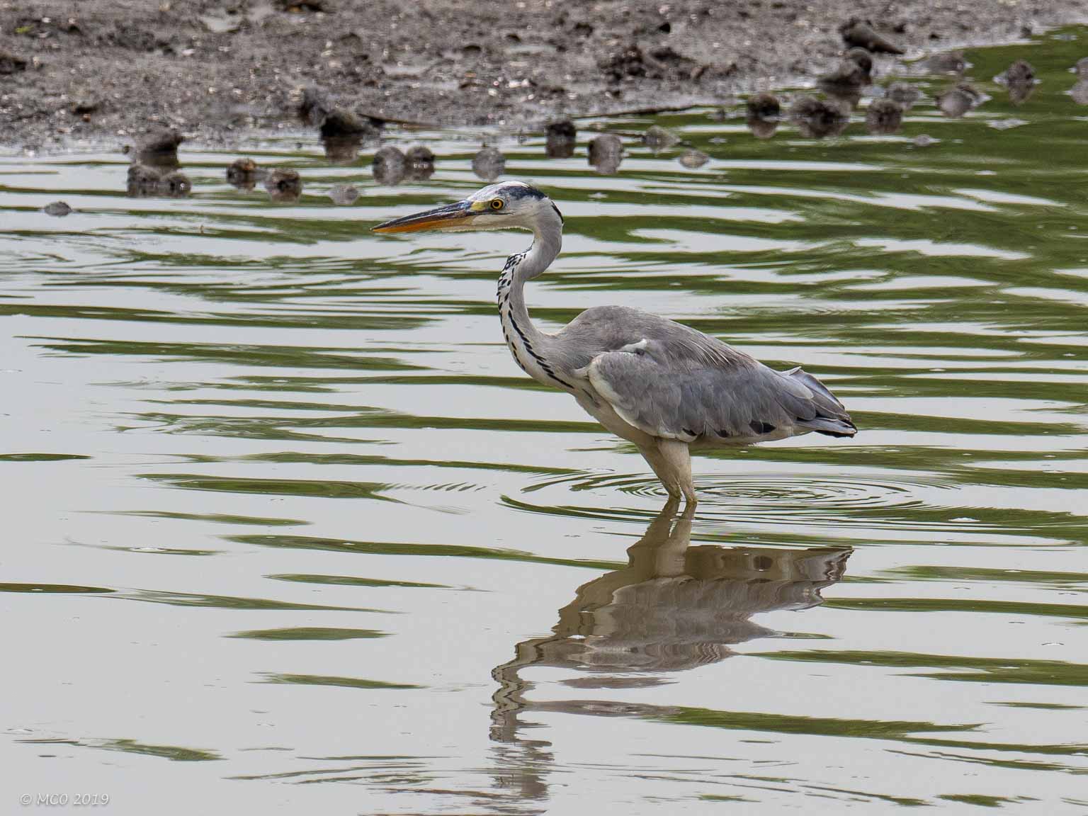
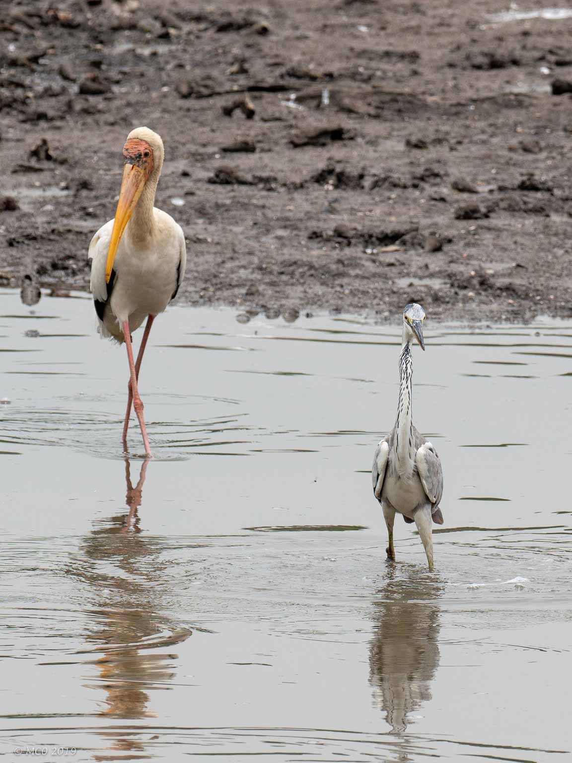
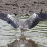
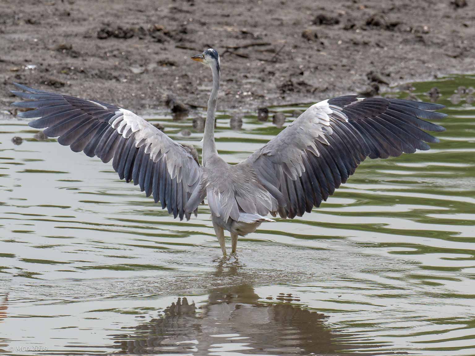
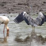
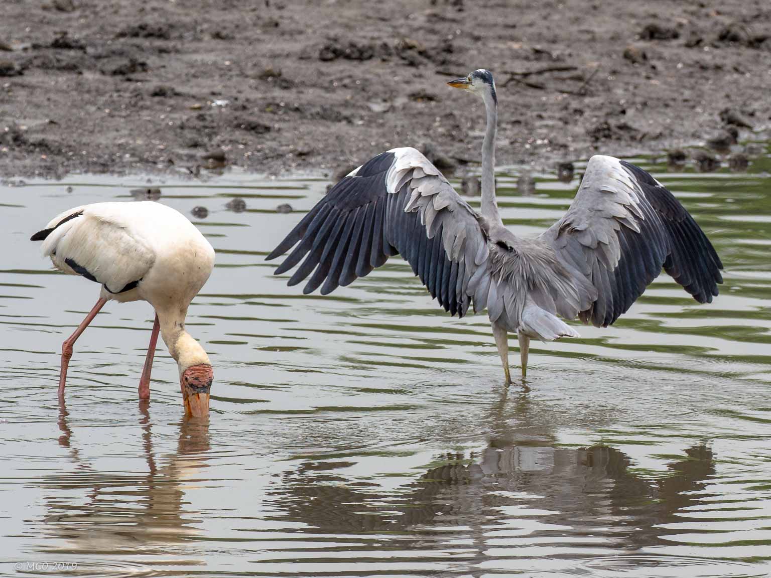
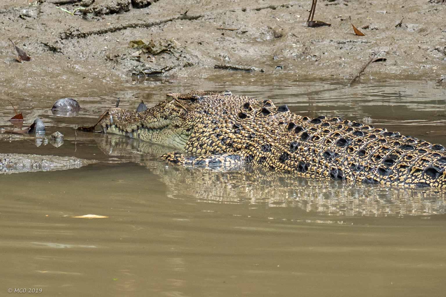
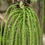
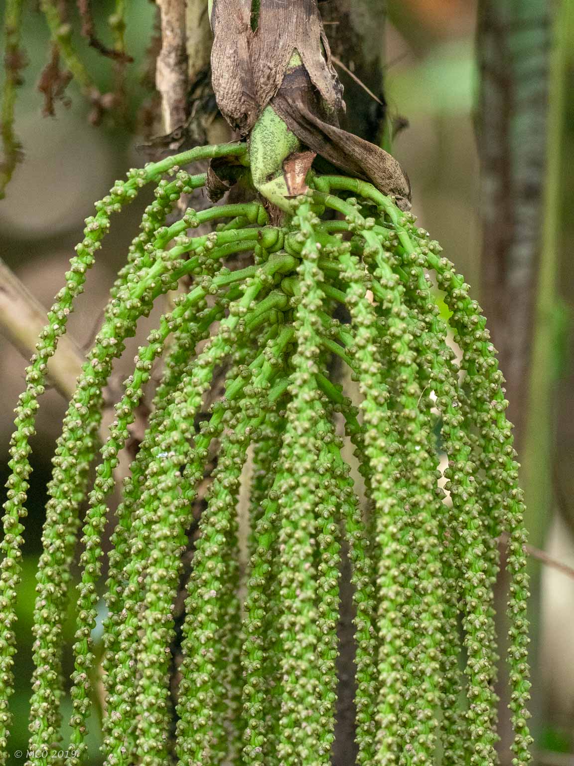
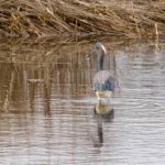
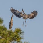
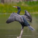
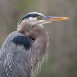
I spent a day visiting two small National Parks in Malaysia, ‘Pulau Kukup Johor’ on an island west of the busy fishing village of Kukup and ‘Tanjung Piai’ located on the southern tip of Malaysia. Also I visited the ‘Sungei Buloh Wetland Reserve’ in Singapore. All three were mangrove swamp wetlands which reminded me of areas we had visited in Florida. I enjoyed seeing the cheeky macaque monkeys and some of the waterbirds similar to ones we find in the US, particularly the Grey Heron, similar to our Blue Heron.
-
- Mangrove Swamp
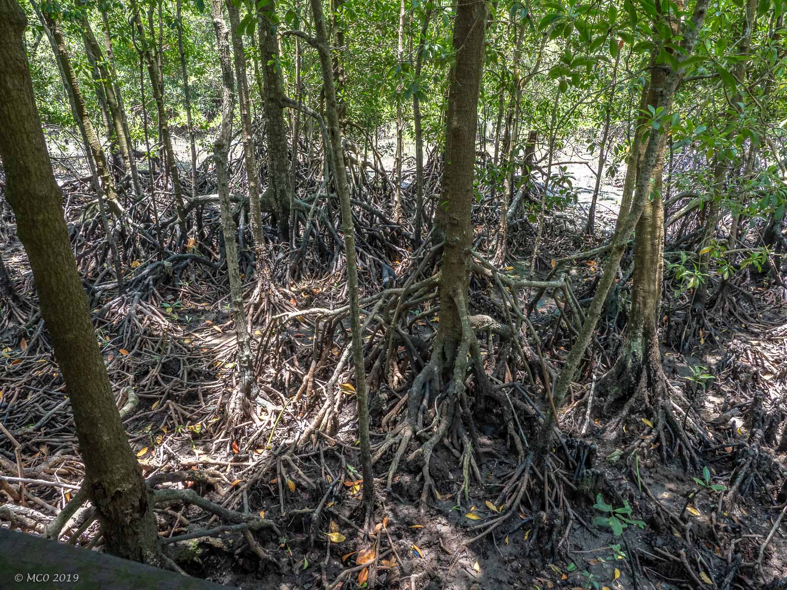
-
- Mangrove Trail
-
- Southern Tip of Mainland Asia
-
- Clawprints
-
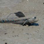
- Mudskipper
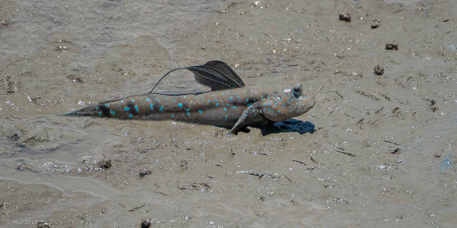
-
- Mudskipper

-
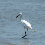
- Egret Eating Crab
-
- Water Taxi
-
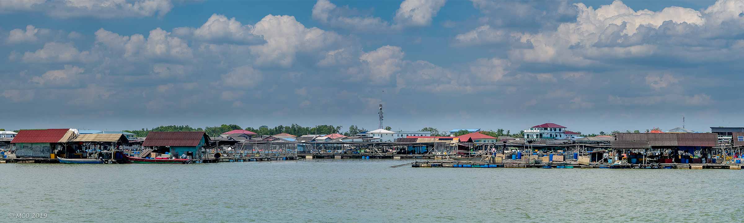
- Kukup Fishing Village
-
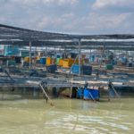
- Fish Hatchery
-
- Mangrove Swamp
-
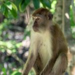
- Macaque
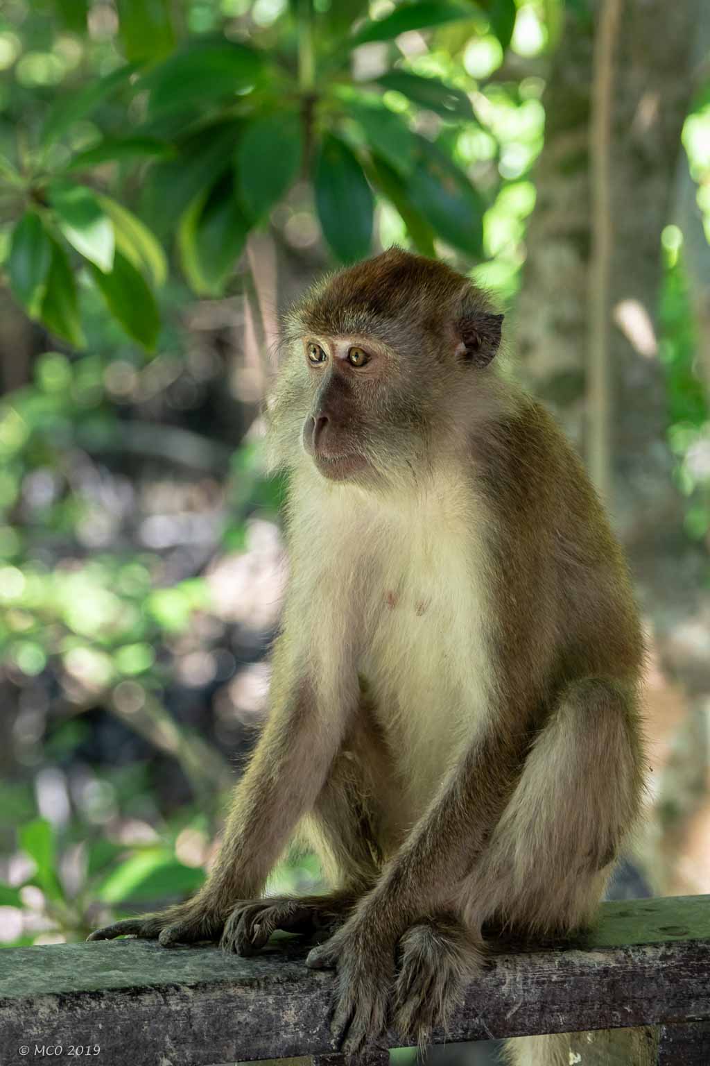
-
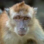
- Macaque
-
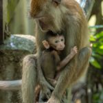
- Macaque with baby
-
- Macaques
-
- Shade Shelter
-
- Estuary from viewing tower
-
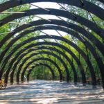
- Shade Shelter
-
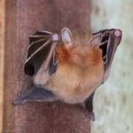
- Fruit Bat
-
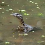
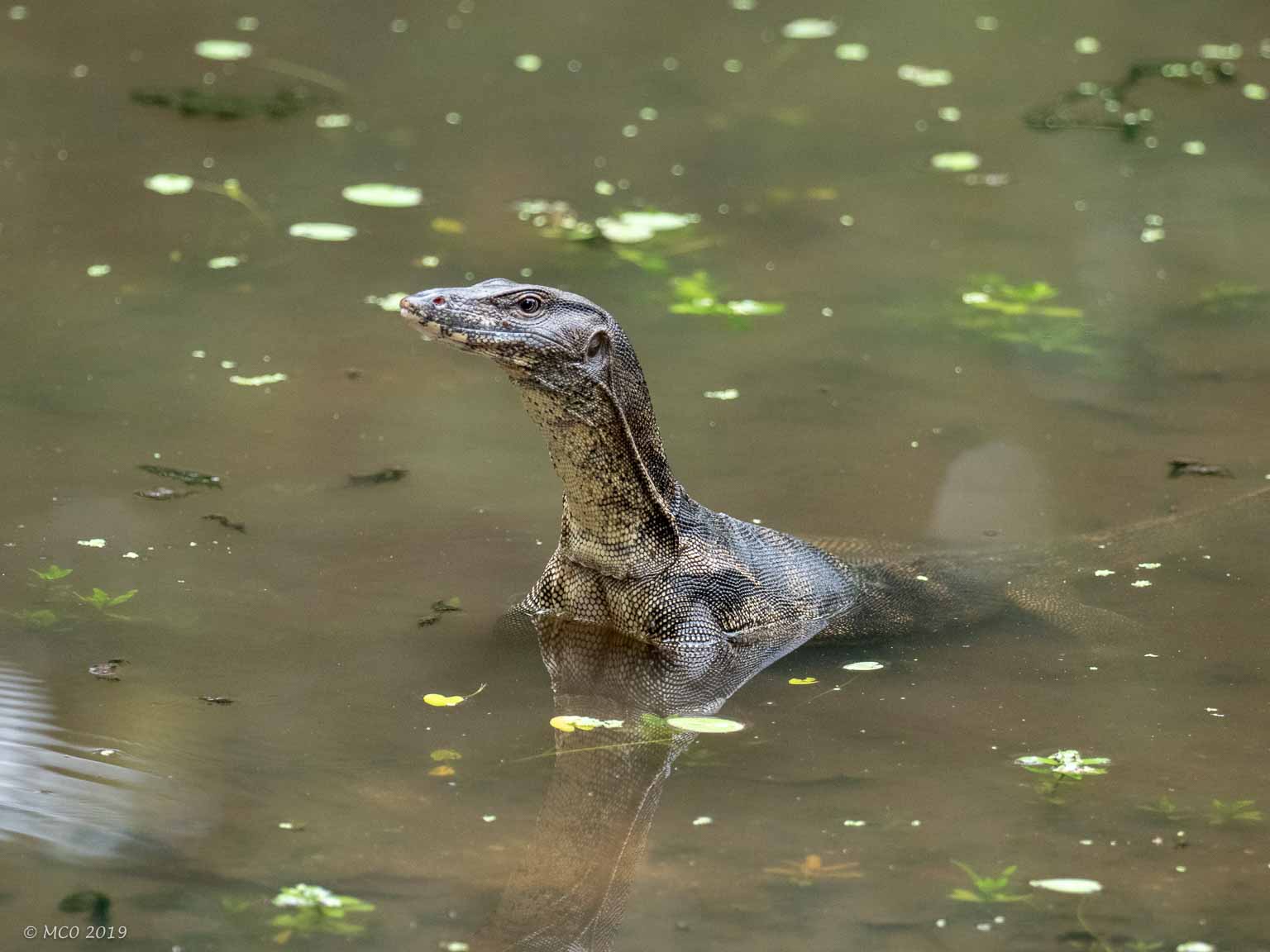
- Water Monitor
-
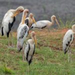
- Stork Committee
-
- Stork
-
- Grey Heron
-
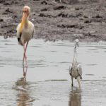
- Grey Heron with Stork
-
- Grey Heron
-
- Grey Heron with Stork
-
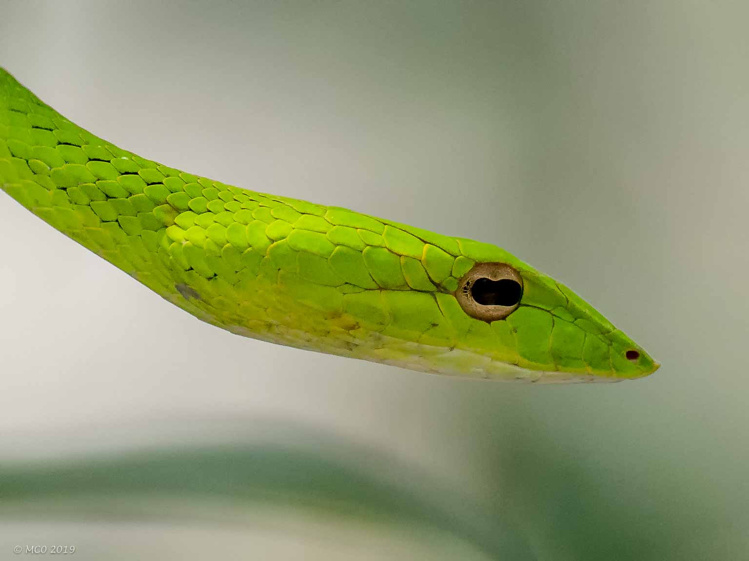
- Oriental Whip Snake
-
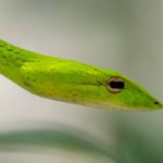
- Oriental Whip Snake
-
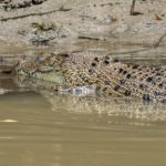
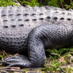
- Crocodile
-
- Dreadlocks?
Click on map to show larger map
[Apologies for the previous ‘blank’ post notification, finger trouble on my part, no doubt jet-lag induced]
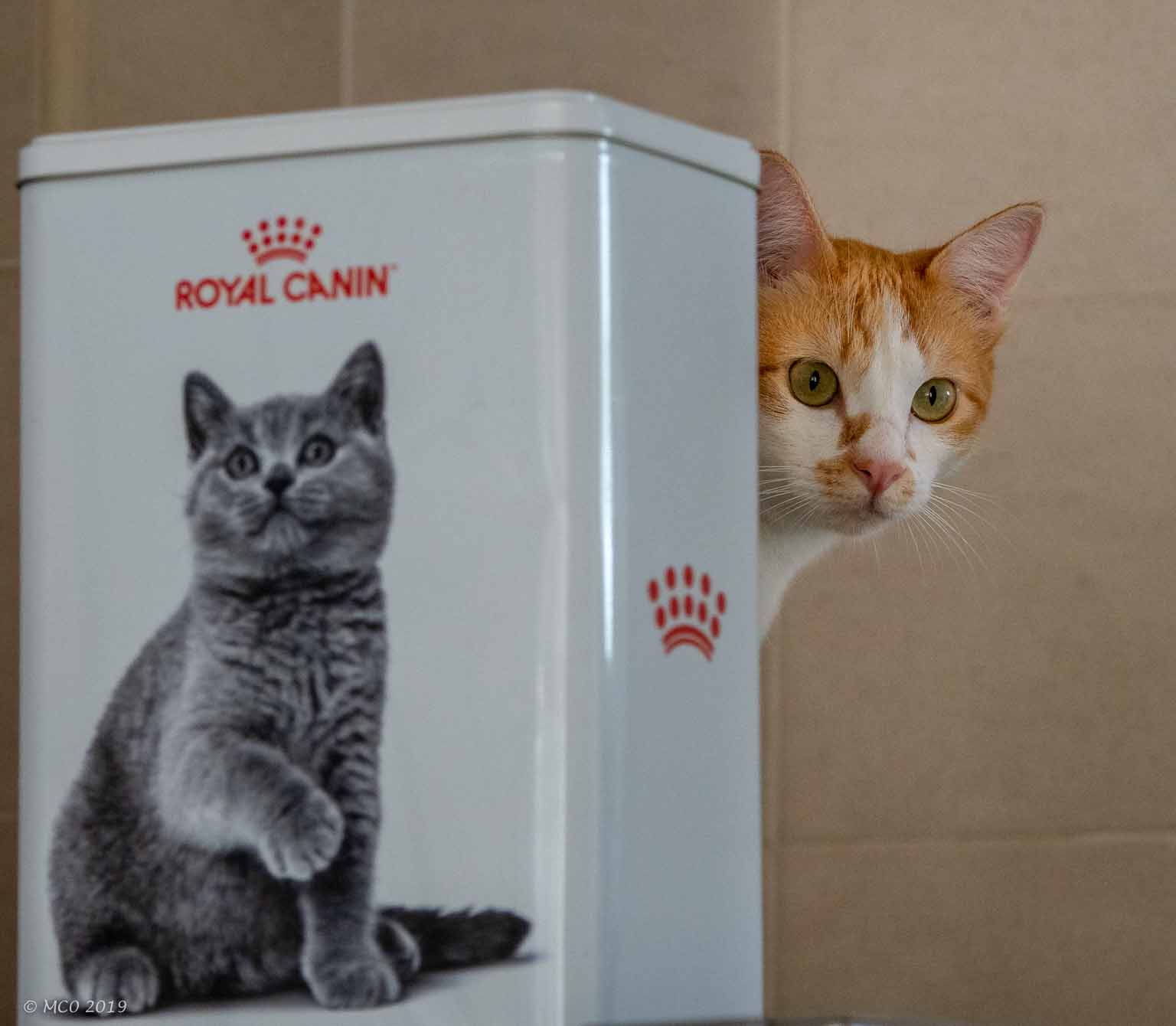
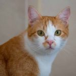
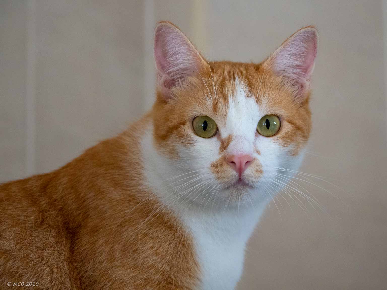
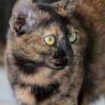
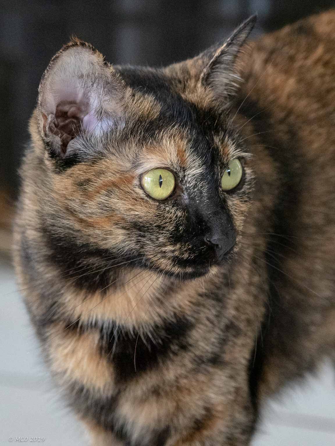
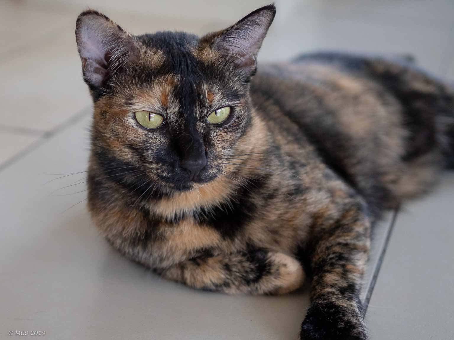
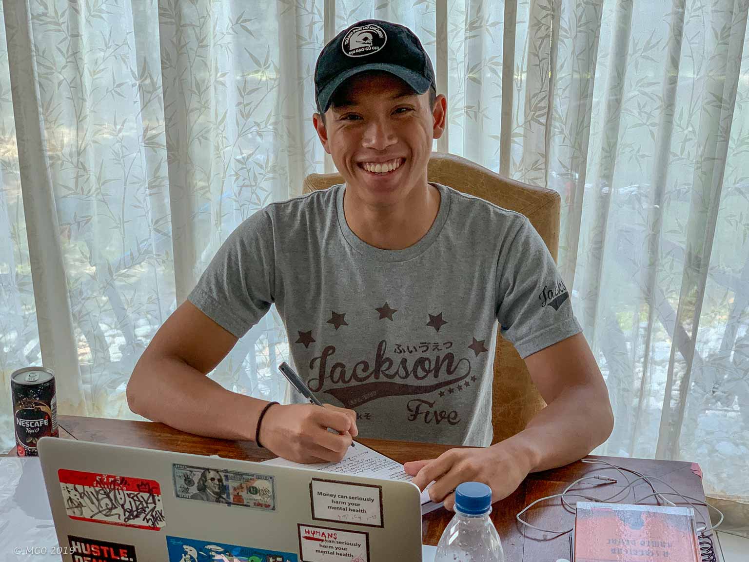
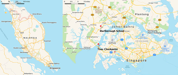 My middle son Jon and his wife Claire are teachers and have been teaching in Thailand, Bahrain and Malaysia for the last 20 years. Their current school, Marlborough School Malaysia, is a boarding school strongly linked with the well known ‘public’ school in England. It is situated at the Southern tip of Malaysia midway between the Tuas bridge to Singapore and Johor Bahru. The school attracts children of (mainly British) ex-pats from Singapore as well as Malaysia and is built on an expansive new campus, not economically possible in Singapore with the high cost of land. They have two children, Jackson (18) and Kensie (16), a grumpy cat (Mango) and a sweet cat (Veto – so named because Jackson vetoed every other name proposal). They are all returning to England this summer to continue their careers and education, so I took the opportunity to visit them for a couple of weeks, my first trip to this part of Asia.
Contrast between Malaysia and Singapore
Most weekends involve at least one trip to Singapore (Kensie plays ‘Touch Rugby’ for the Singapore’s Tanglin Rugby Club) and during my trip I spent several days there. Singapore is a modern efficient country (known as a ‘city-state’, see later posts) whereas Malaysia is still has the look and feel of a 3rd world country.
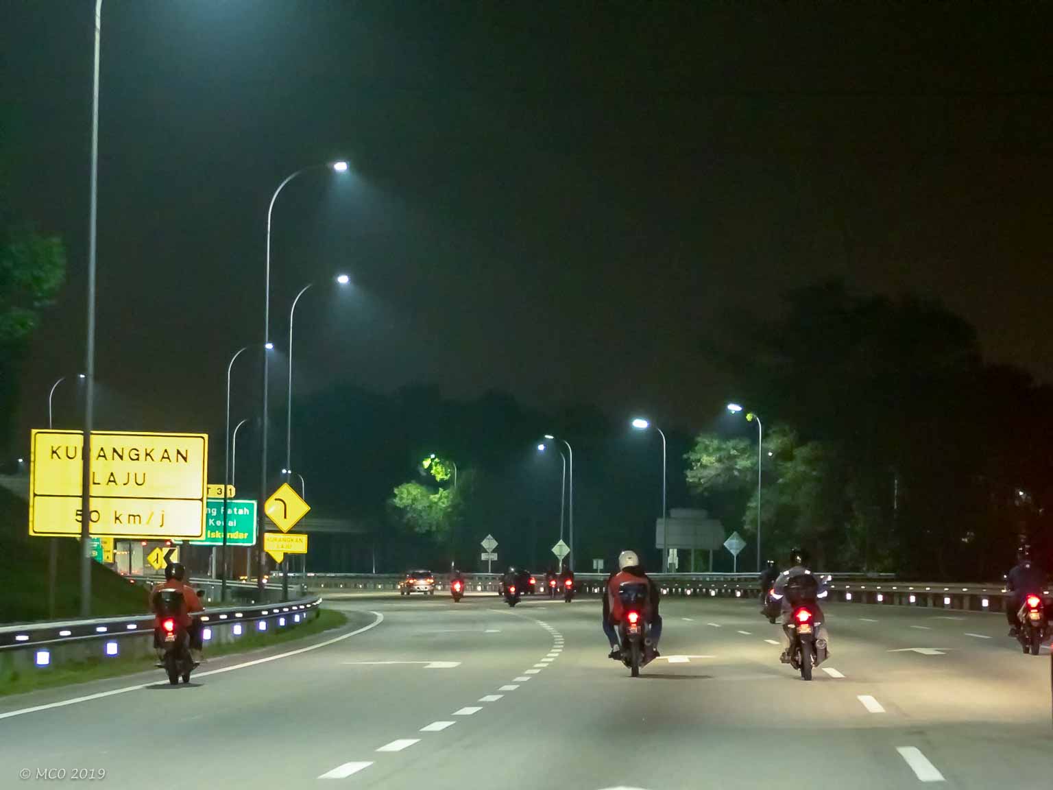
Commuters returning home to Malaysia
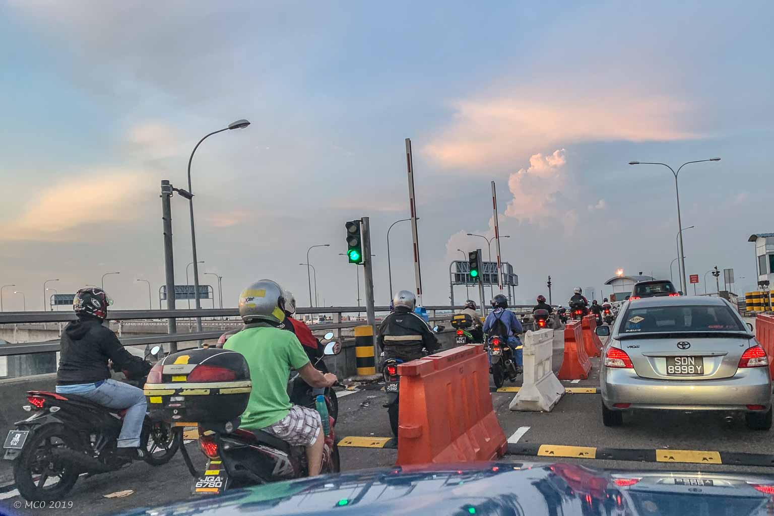
Singapore border checkpoint
Many Malaysians commute daily to work in Singapore, most on motor bikes which can thread their way through the traffic build-up at the Customs/Immigration checkpoints in and out of both countries.
Family Members
Click on any thumbnail below to see larger image gallery.
-
- Grumpy Mango
-
- Mango’s warning face
-
- Veto
-
- Mango in the Laundry

-
- Jackson at work
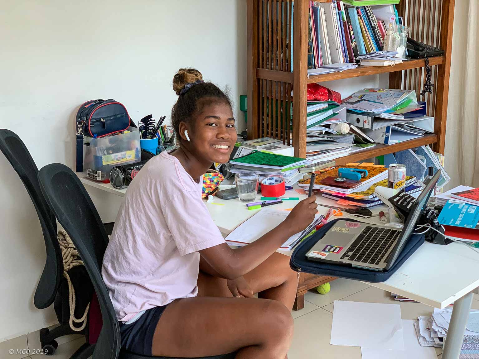
-
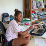
- Kensie at work
-
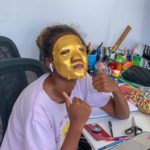
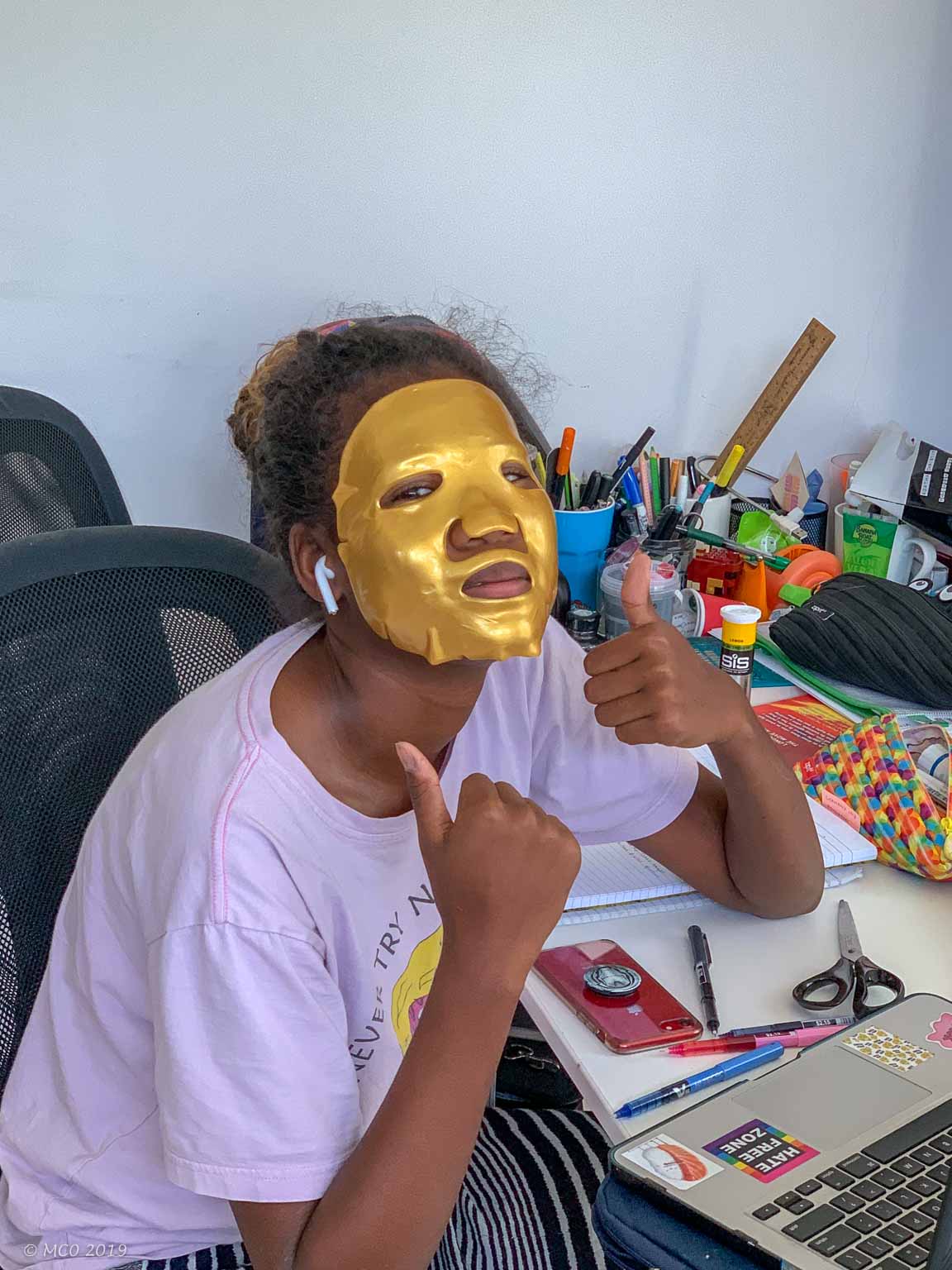
- Goldface
-
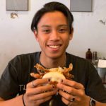
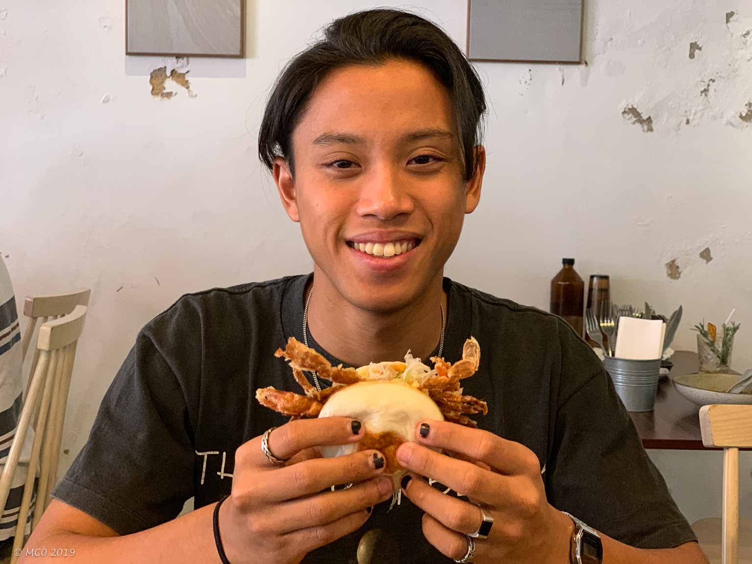
- Softshell crab Johor Bahru
-
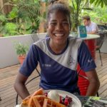
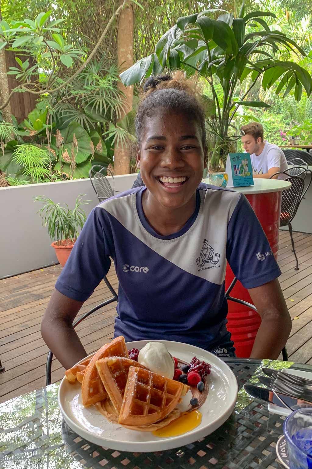
- Waffle time, Singapore
-
- Jon
-
- Kensie purchasing a present, Singapore
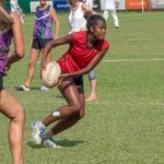
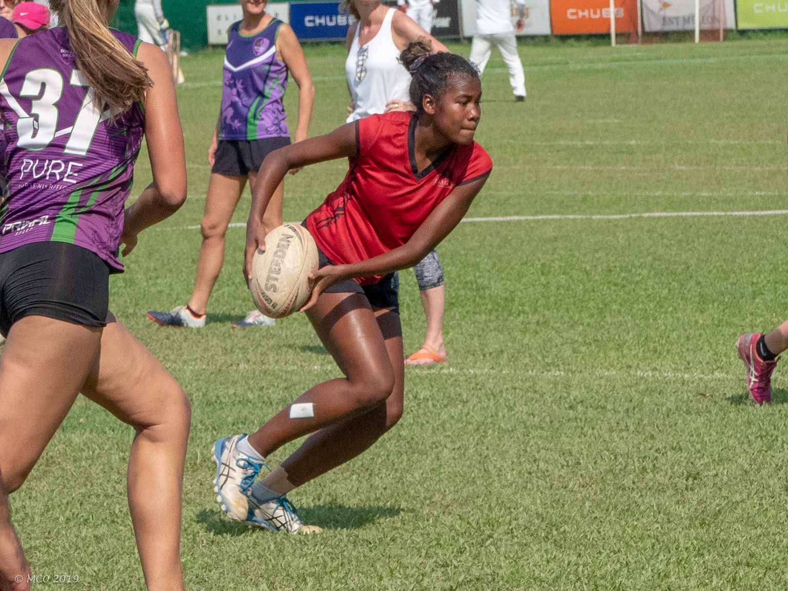
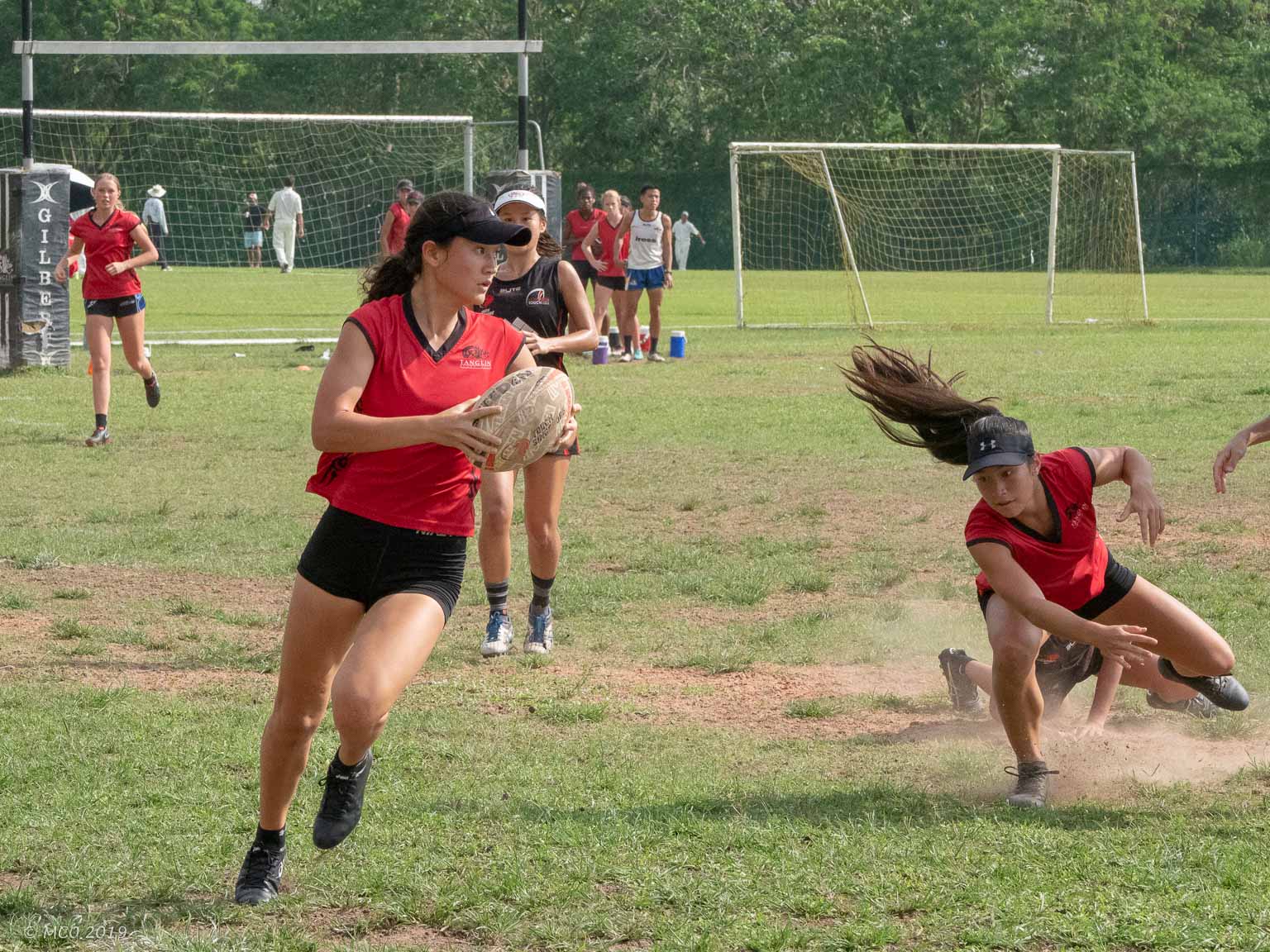
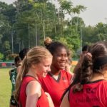
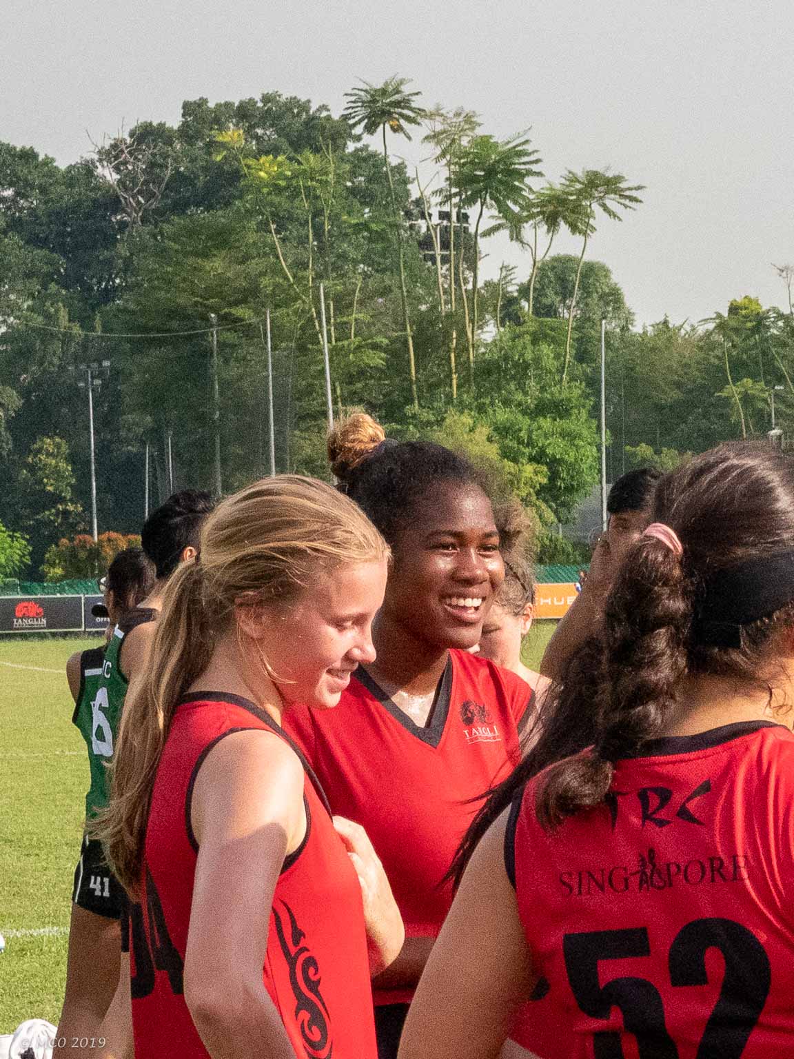
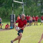
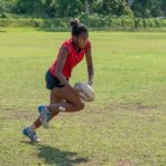
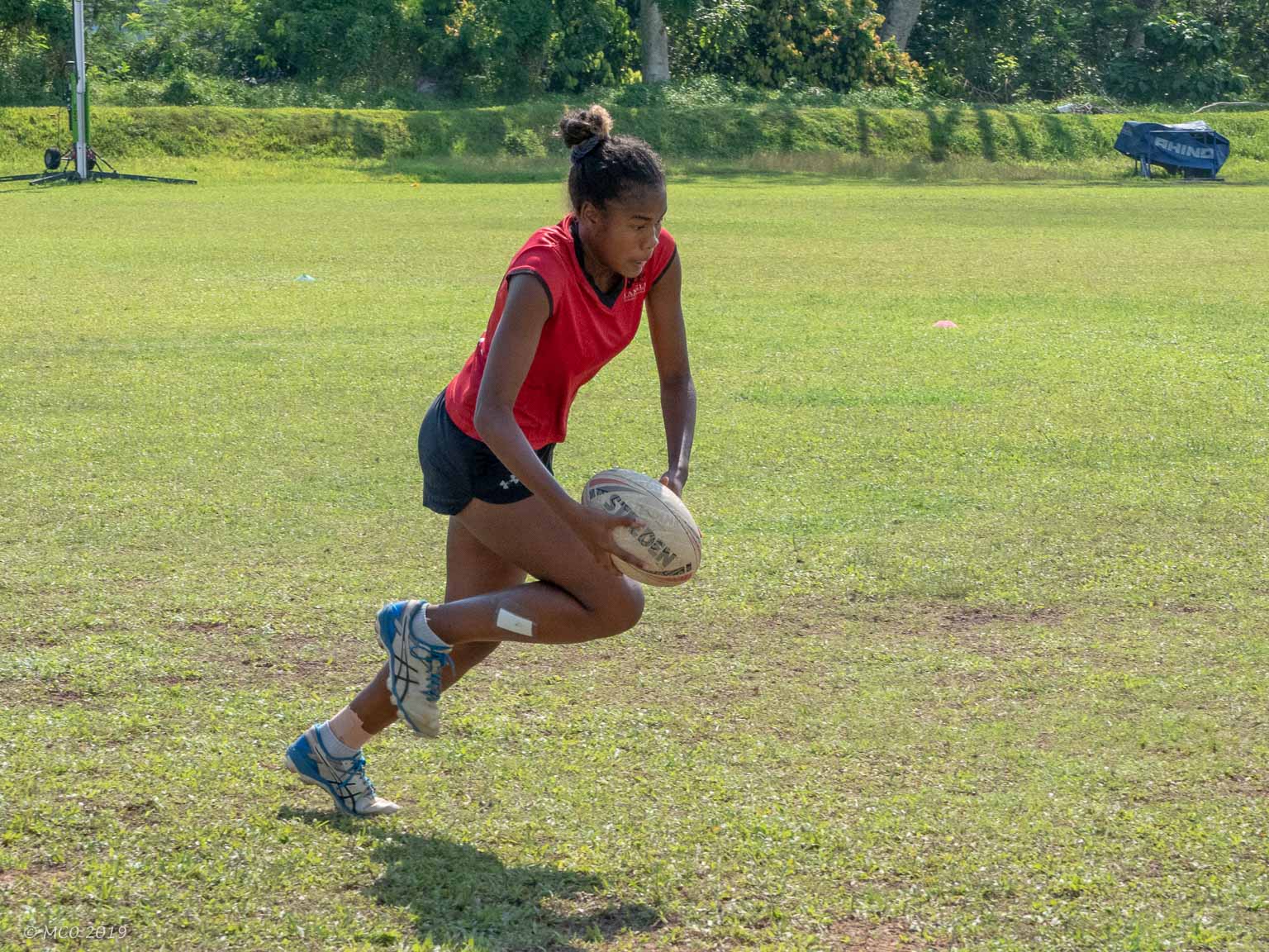
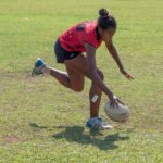
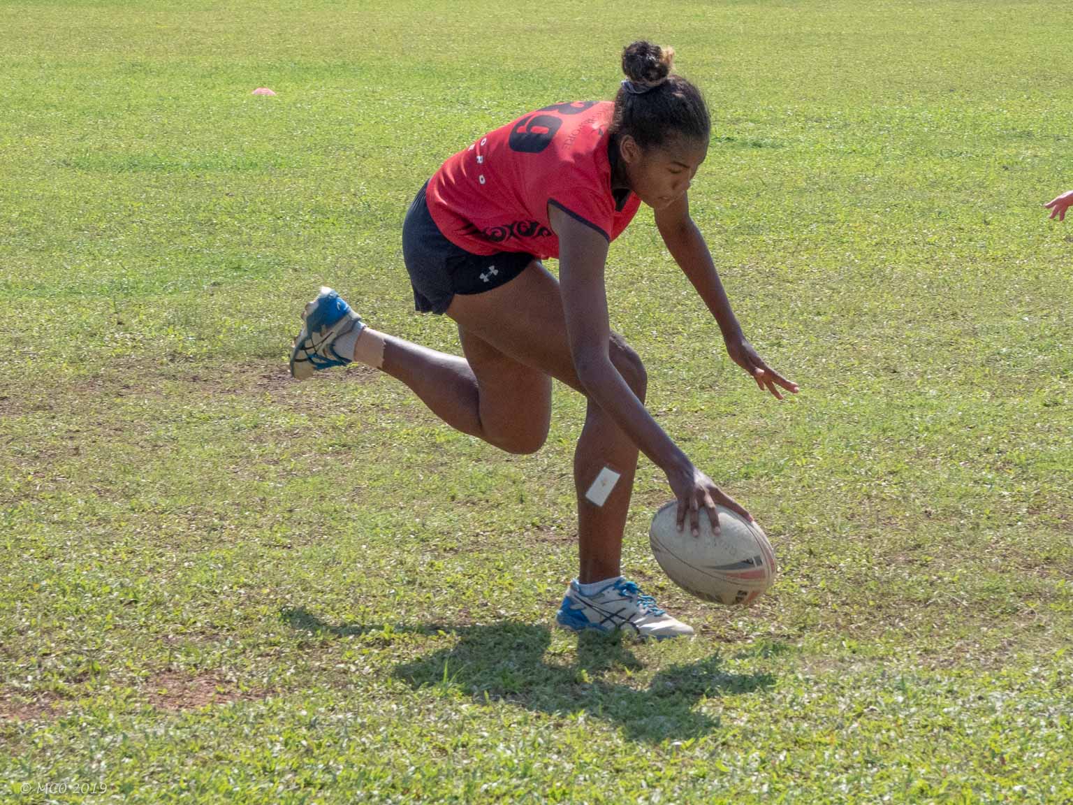
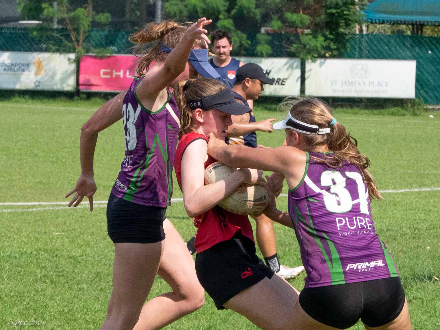
Tanglin Rugby Club, Singapore
Some images from two of Kensie’s ‘Touch Rugby’ games at Tanglin Rugby Club, Singapore. Note that Jon has also taken up the sport, ostensibly to stay fit, but enjoys the camaraderie with the rest of his team, mainly parents of kids at his school.
Click on any thumbnail below to see larger image gallery.
-
- Kensie about to pass
-
- Strategy discussion
-
- Jon
-
- Kensie catching…
-
- … and scoring a try
-
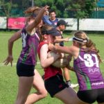
- An agressive ‘touch’
-
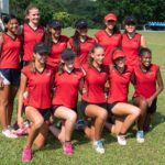
- The winning team
Our planned 5 month trip to Quebec City, Nova Scotia, Newfoundland and Maine, came to an abrupt end when Cheryl’s back problem worsened to the point where we had to return home for remedial treatment. We’re hoping to restart again in a few weeks depending on her recovery.
In the meantime, here are some notes and images from the six days we spent traveling up to Quebec and back. Our first night was spent at Woodstock KOA, NY and after a brief walk around Woodstock observing the aging hippie population, we pushed on into Vermont.
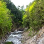
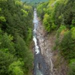
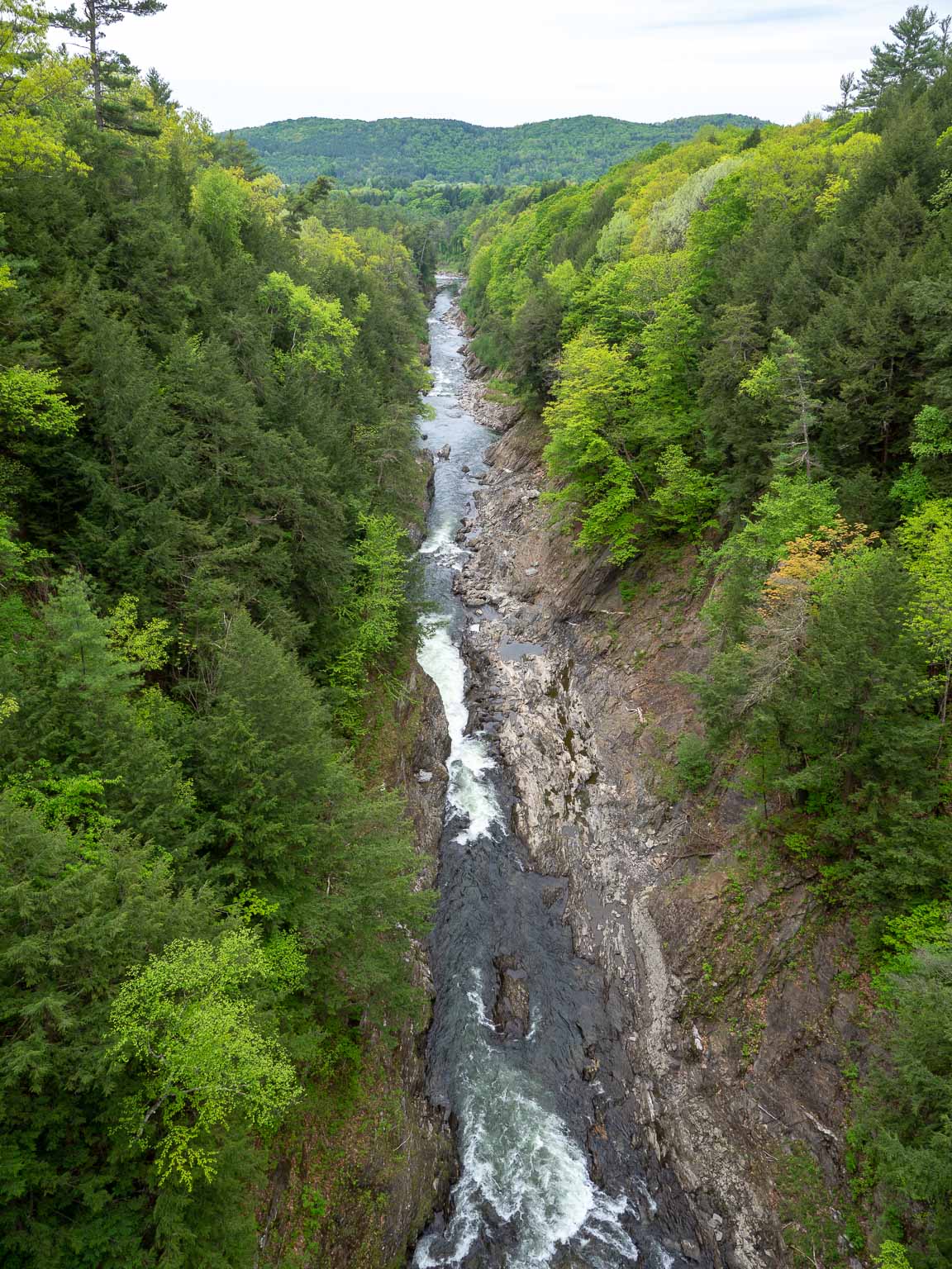
Quechee Gorge State Park, Vermont
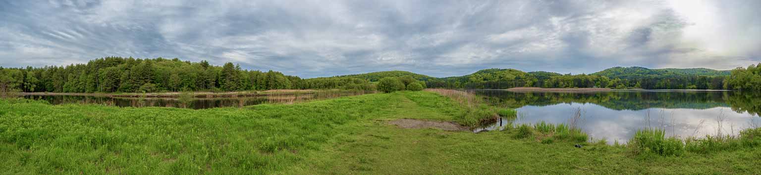
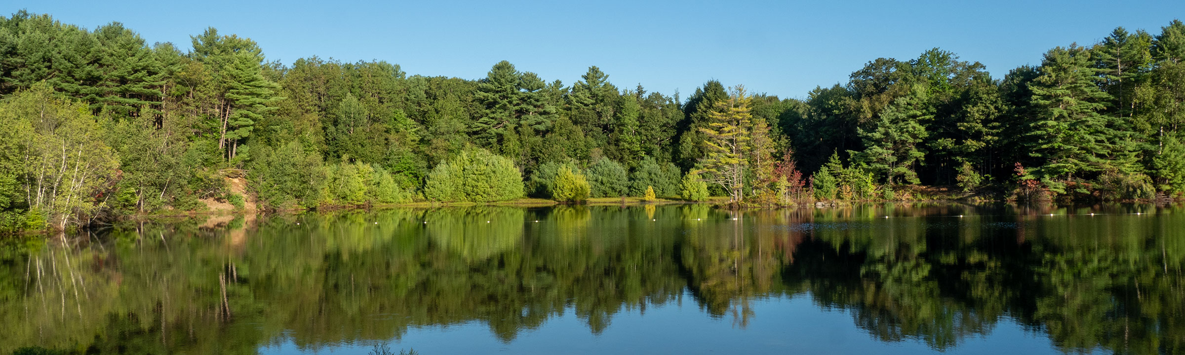
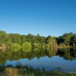
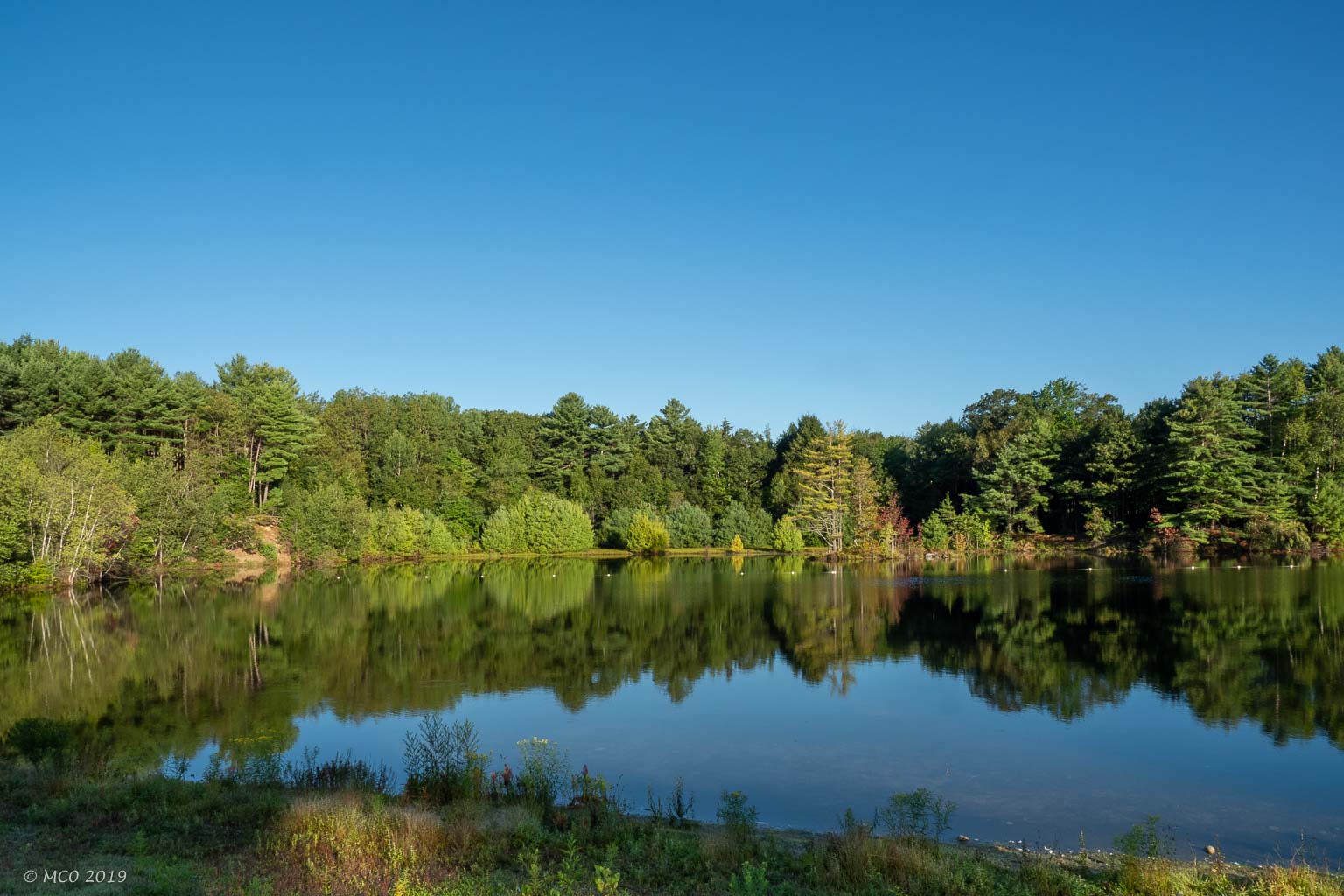
Dewey’s Mill Pond, click to enlarge
The Park is situated on the Ottauquechee River, just downstream of Dewey’s Mill Pond which spills over a weir into Quechee Gorge, a 165 foot deep, over a mile long, ravine cut into the bedrock ridge. Dewey’s Mill Pond provides a wonderful habitat for birds. The Gorge is spanned by a bridge built in 1911 which provides some great views of the river both up and downstream. The State Park provides access to a steep and windy tail into the Gorge and upstream to the Pond.
Click on any thumbnail below to see larger image gallery.
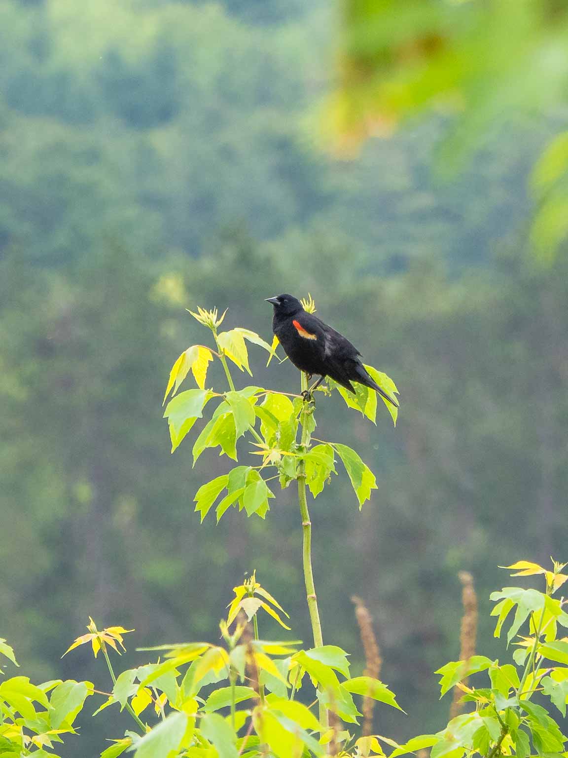
-
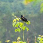
- Red-winged blackbird
-
- Outflow from the pond
-
- View downstream towards the bridge

-
- View from the bridge
-
- Bridge over the Gorge
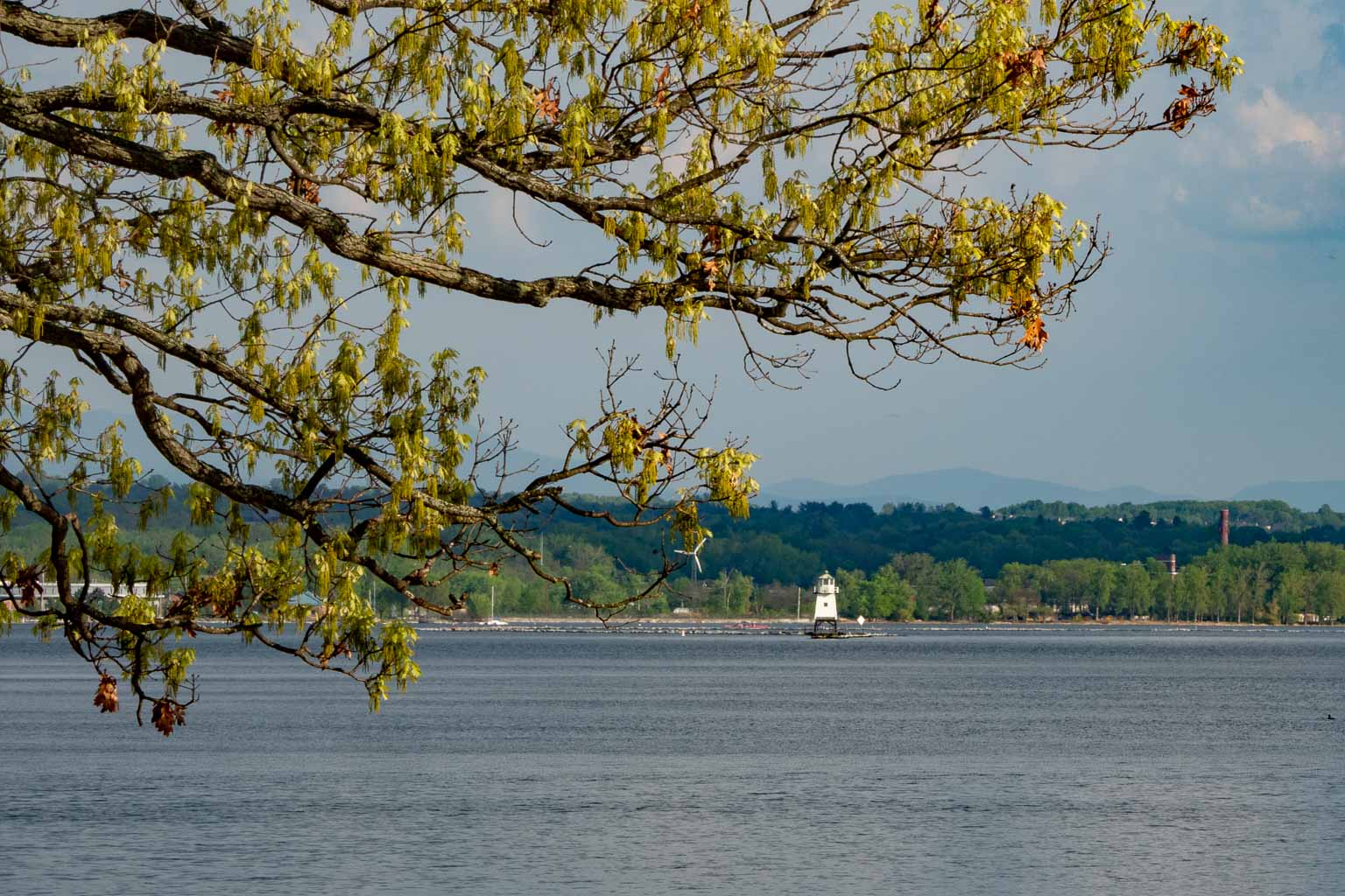
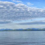
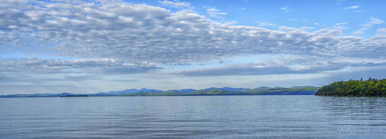
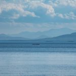
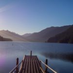
North Beach Campground, Burlington Vermont
Lake Champlain – Adirondacks, click to enlarge
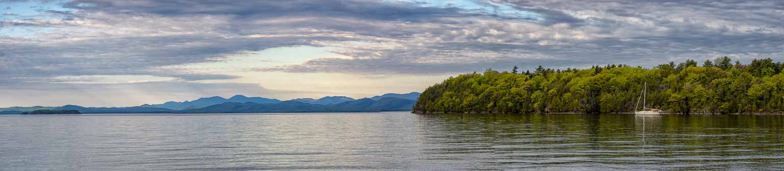
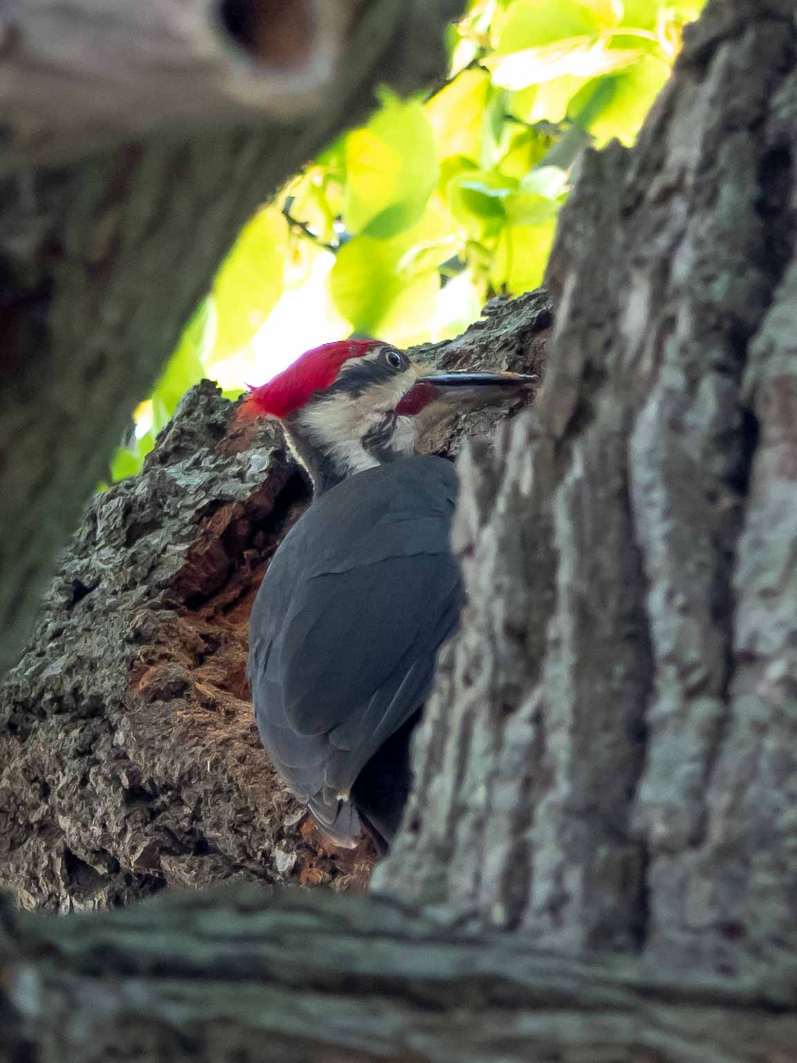
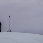
We made an early morning detour South to Burlington, Vermont to visit an Ophthalmologist in order to assess some post-surgery (cataract) issues Colin was experiencing with his left eye. The problem had resolved by the appointment time and, after a thorough examination, he was pronounced fit to travel. This gave us a chance to spend the rest of the day on the shore of Lake Champlain with a view of the Adirondacks.
Click on any thumbnail below to see larger image gallery.
-
- Burlington breakwater lighthouse
-
- Lake Champlain anchorage
-
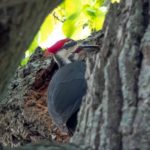
- Pileated Woodpecker
-
- Adirondack view
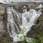
Saint Adrien d’Irlande, Québec, Canada
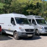
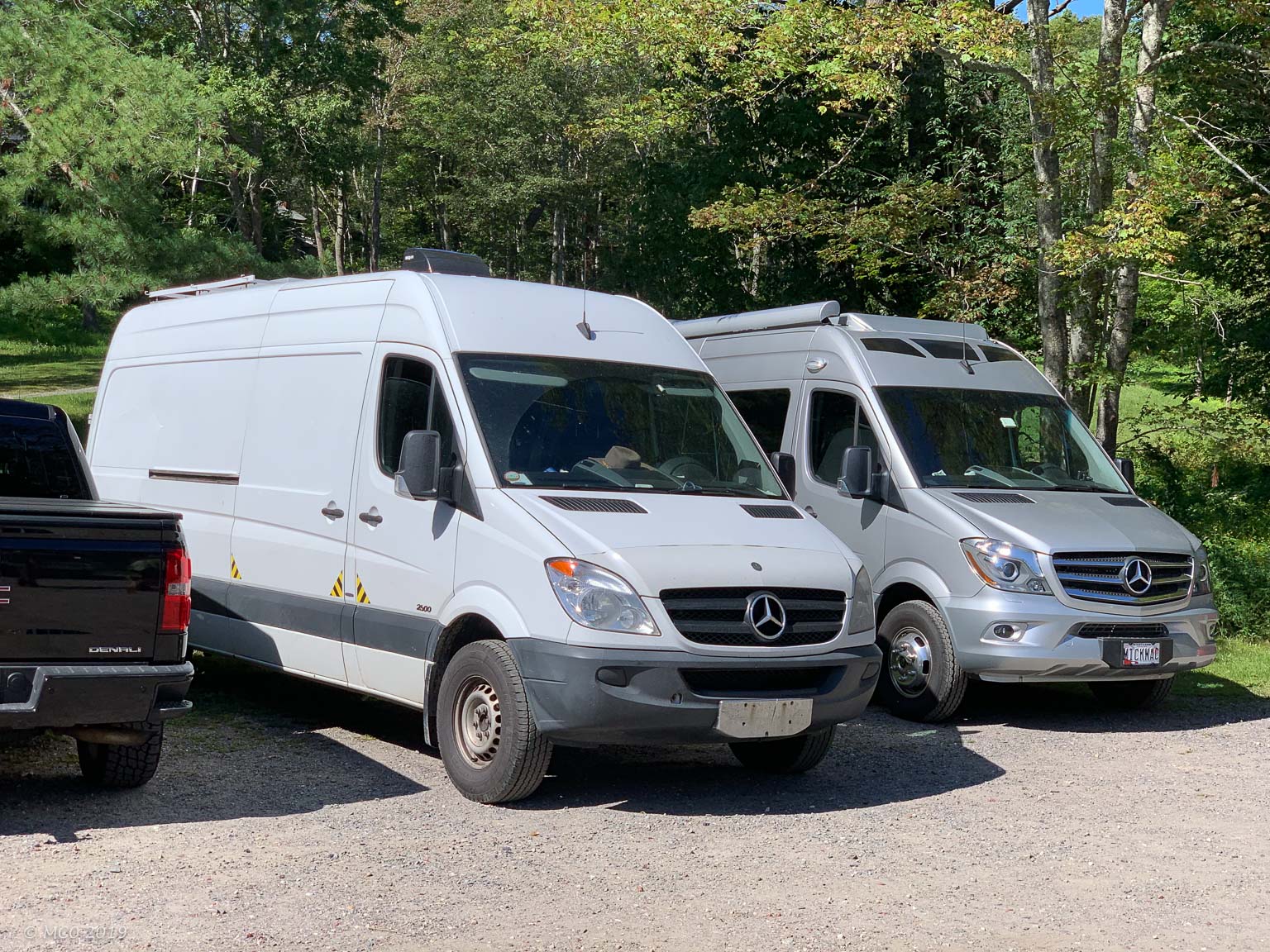
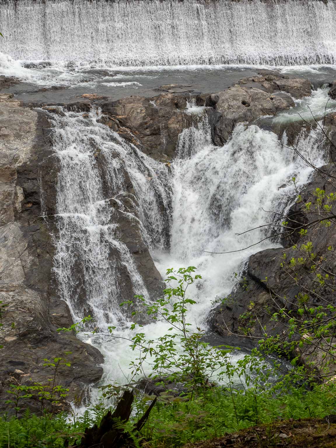
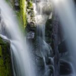
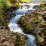
 We crossed the border into Québec just North of Newport, Vermont the next morning. Our van was searched by a couple of friendly Canadian Customs Officers who seemed more interested in talking about our RV features. One of them was planning to buy a Sprinter Van and equip it himself. Then, after a pleasant lunch by the lake at North Hatley, we drove through the countryside to the remote little town of Saint-Adrien-d’Irlande where Jesse, a musician friend of ours (we met in Florida on our last trip) lived in a converted farmhouse.
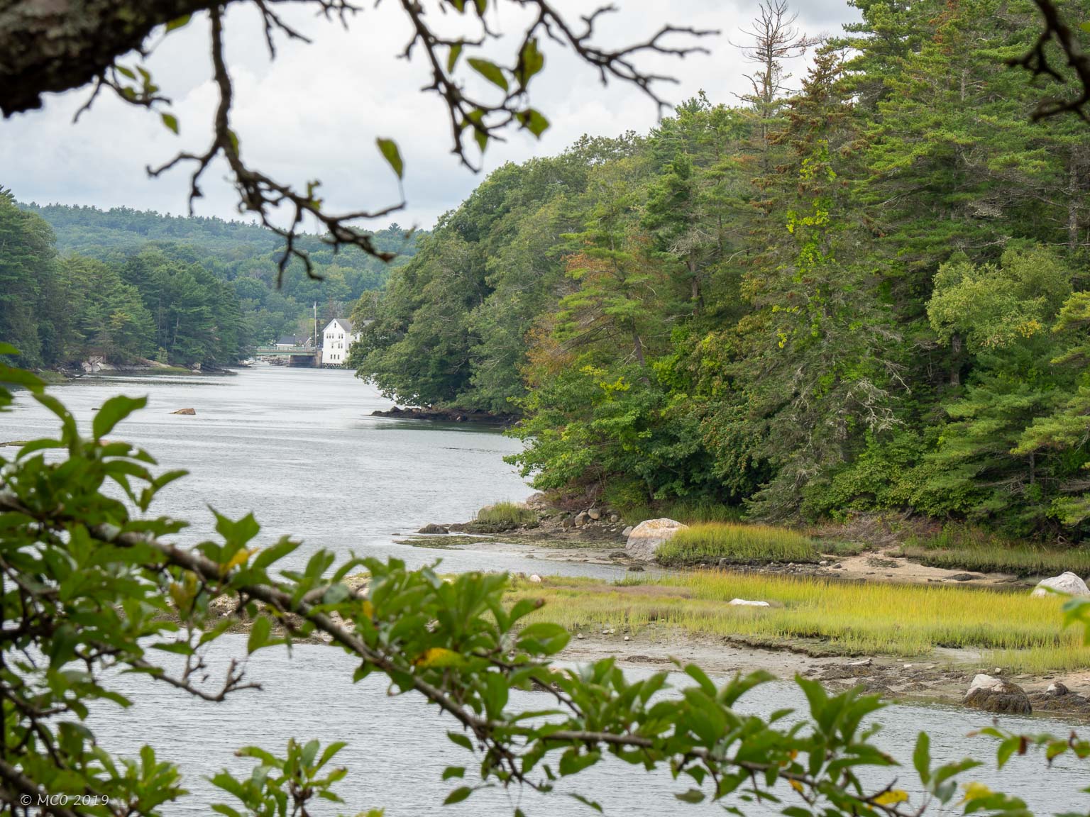
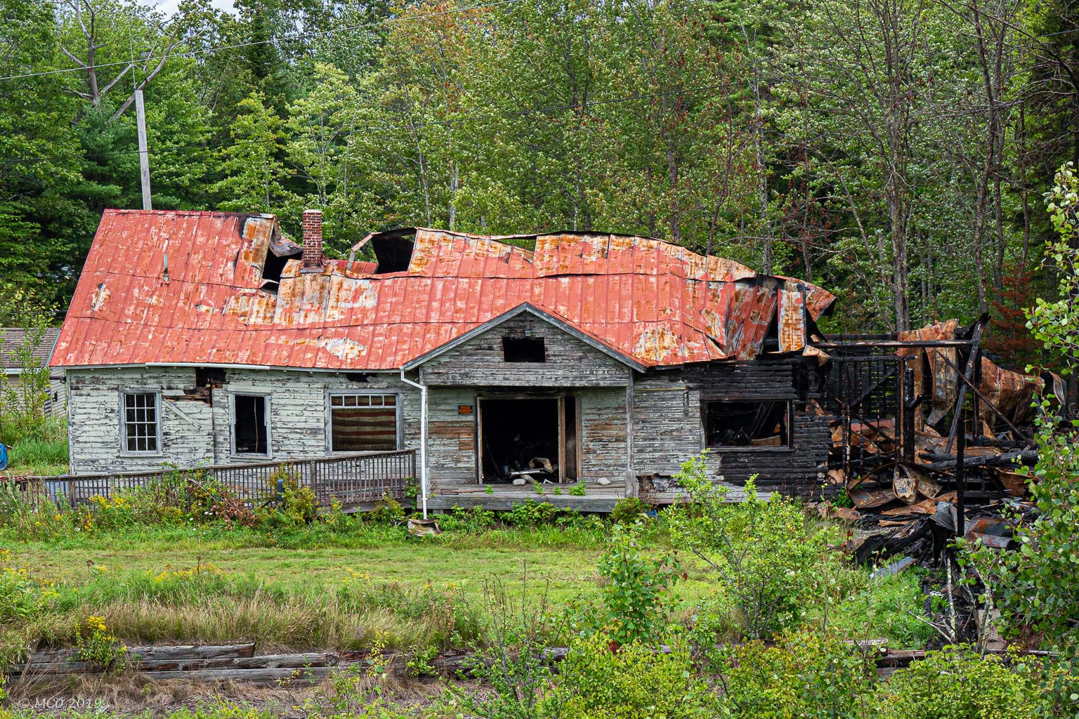
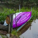
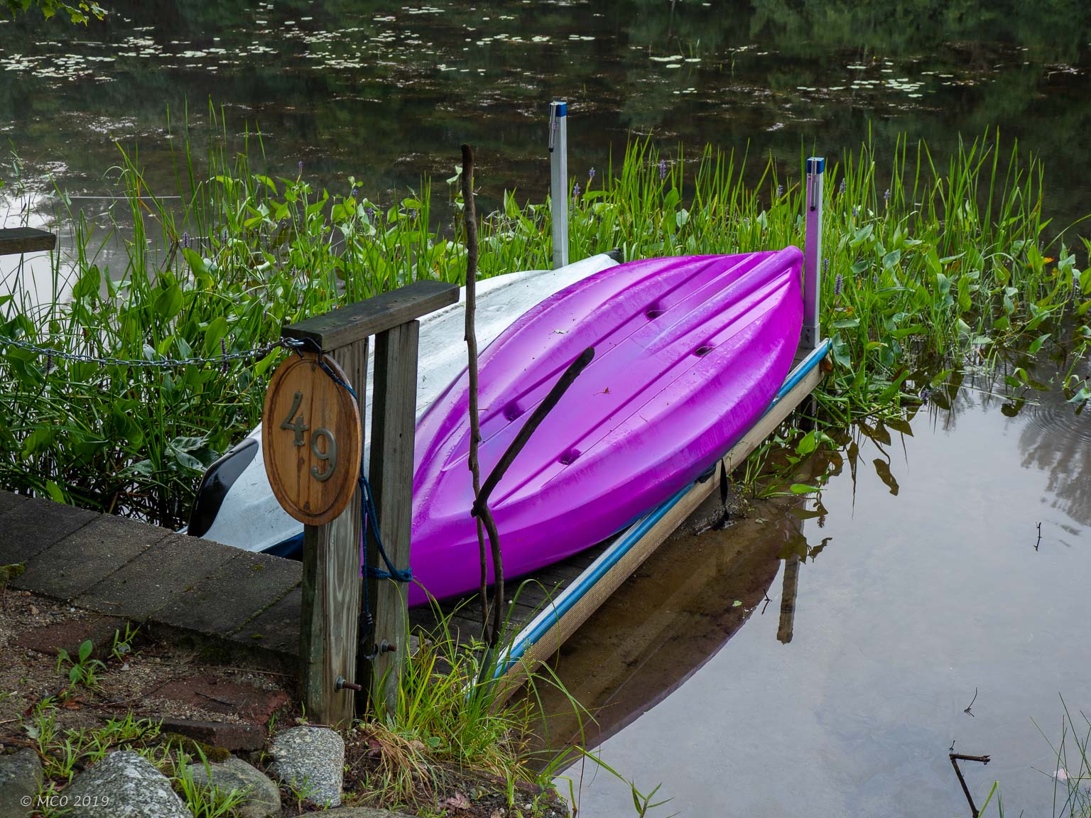
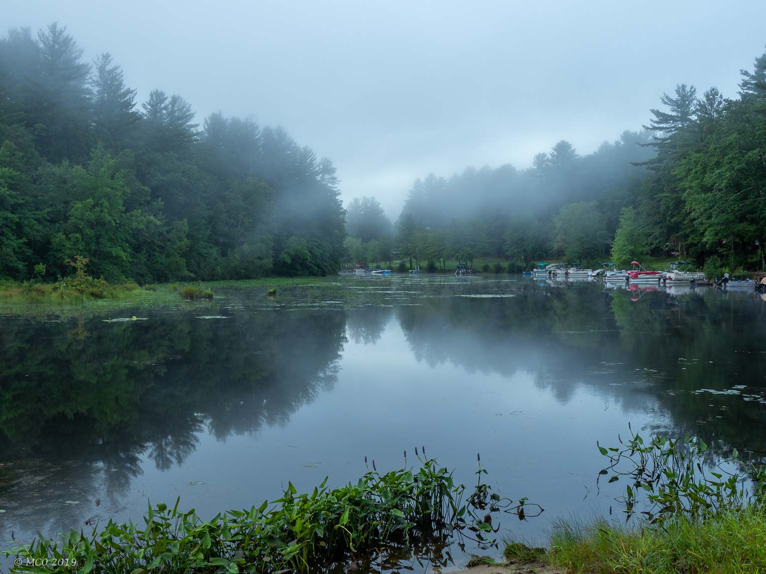
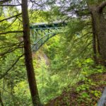
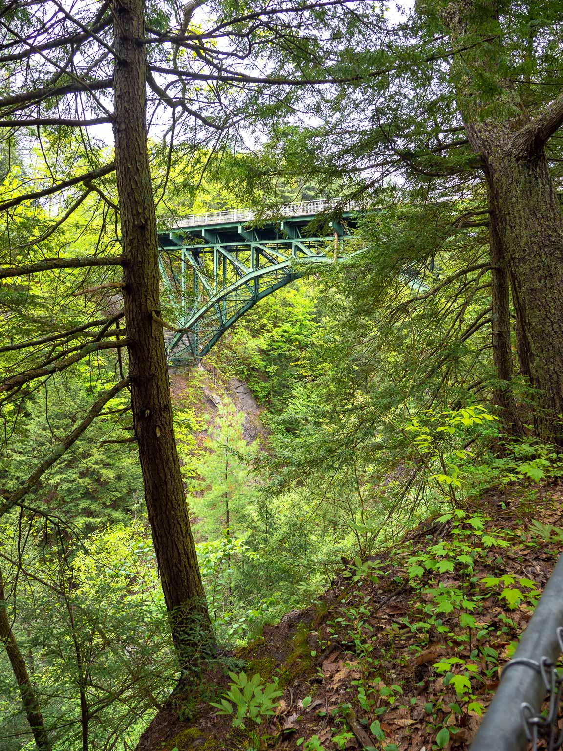
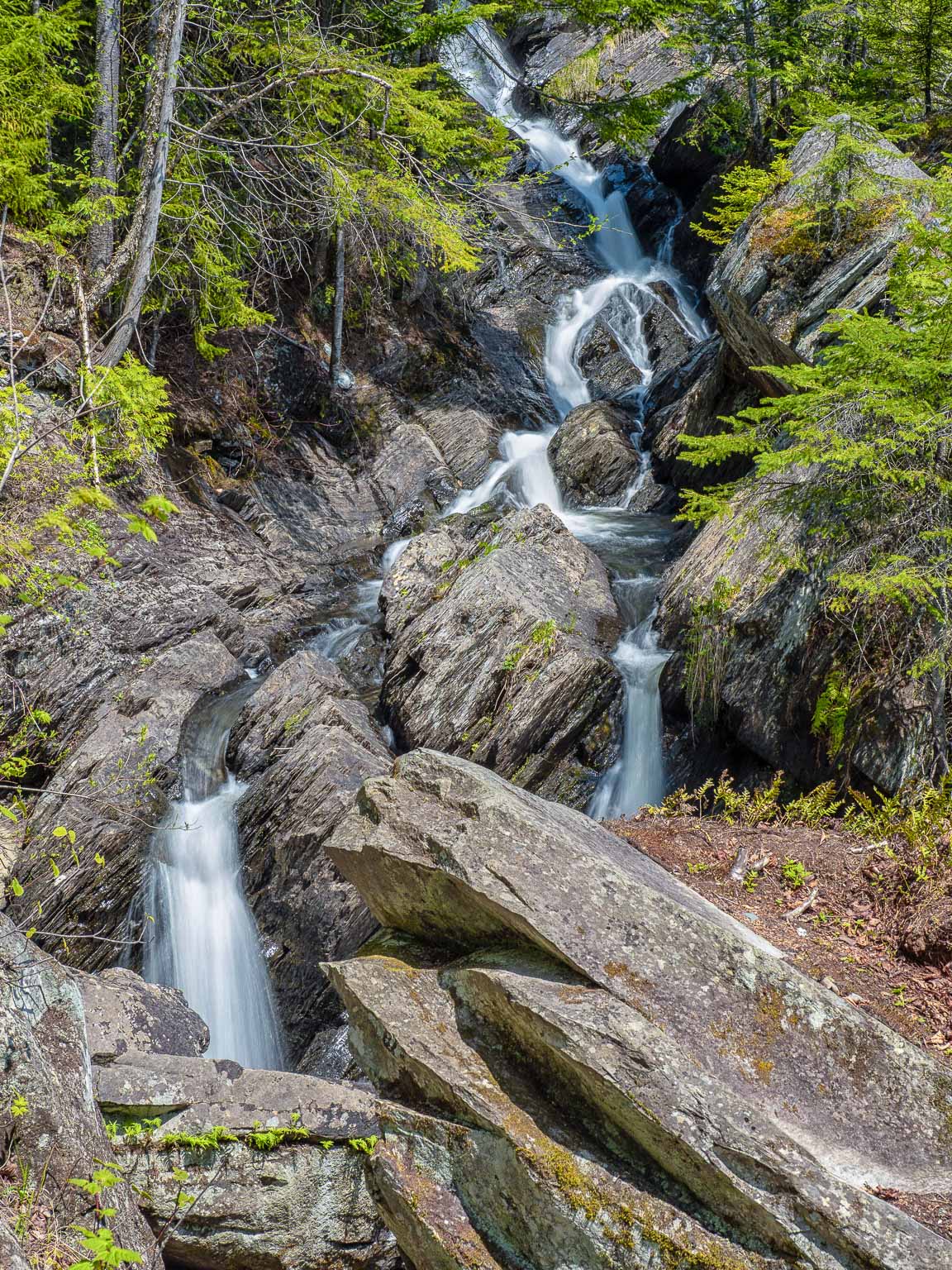
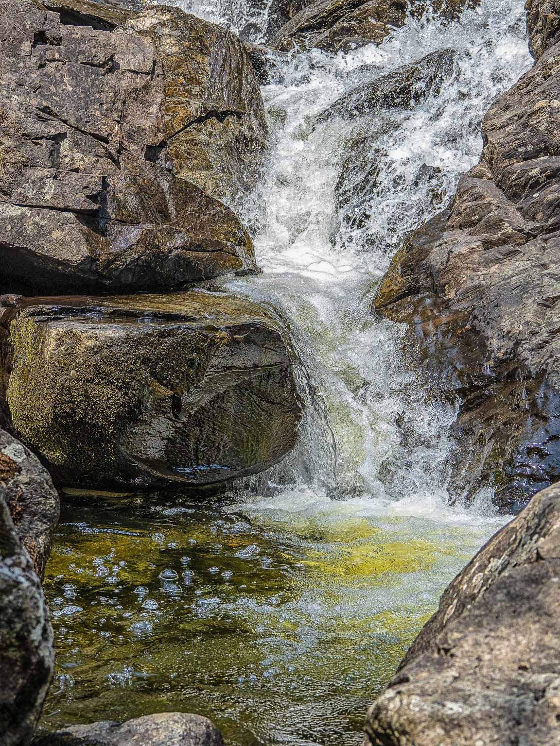
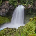
 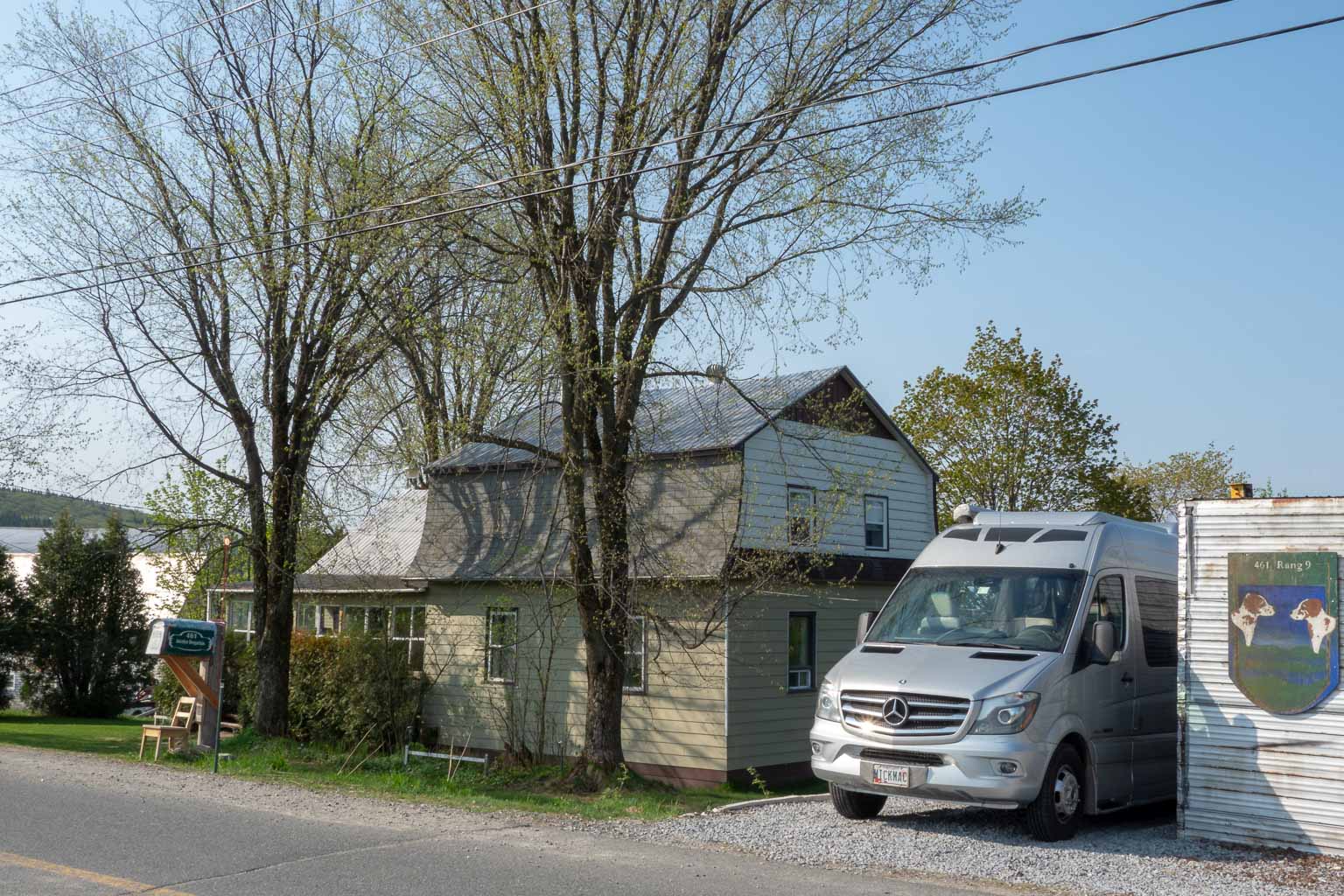 Bindi was grateful for being untethered and allowed to roam the farmland with Jesse’s dog Kimi. After a wonderful dinner provided by Jesse, two of his local musician friends joined us for a fun musical evening. One of them was learning to make violins and played on a wonderful looking instrument in its final stages of ‘tuning’. The next morning, with the realization that Cheryl’s back issues were worsening, we made the decision to turn South again and head home. Our first stop back in the US was at Jim Mac Falls in NW Maine:
Click on either thumbnail below to see larger image.
See our interactive route map for the locations in this post.
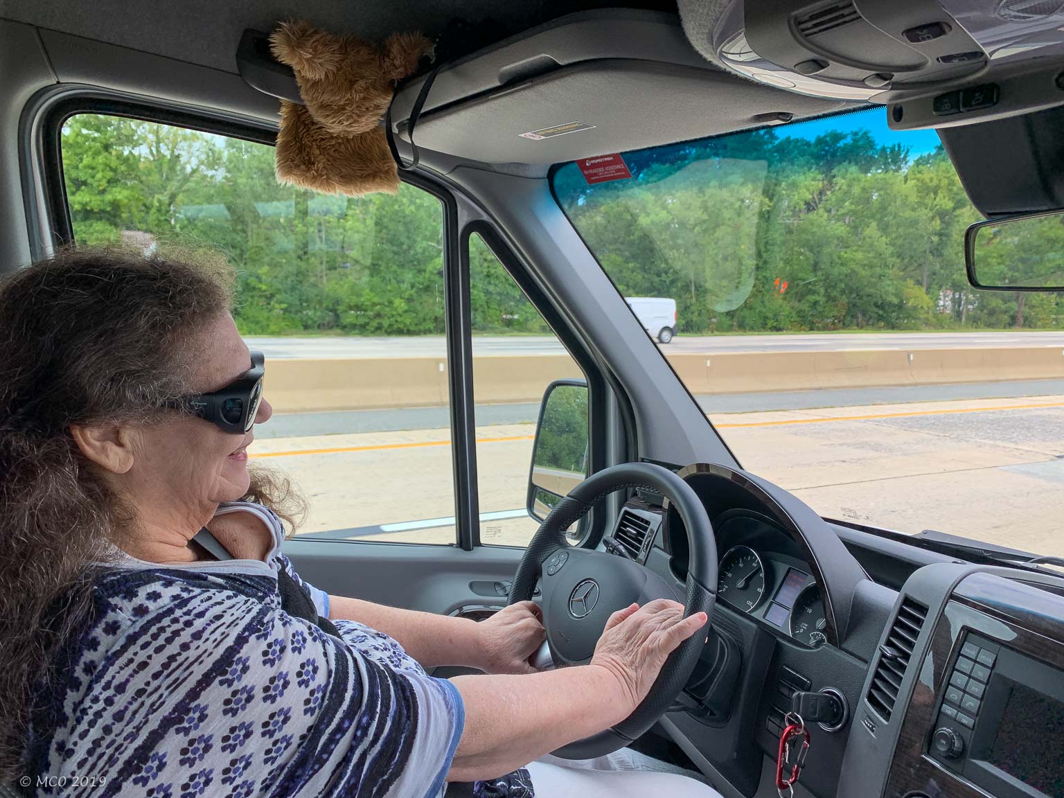
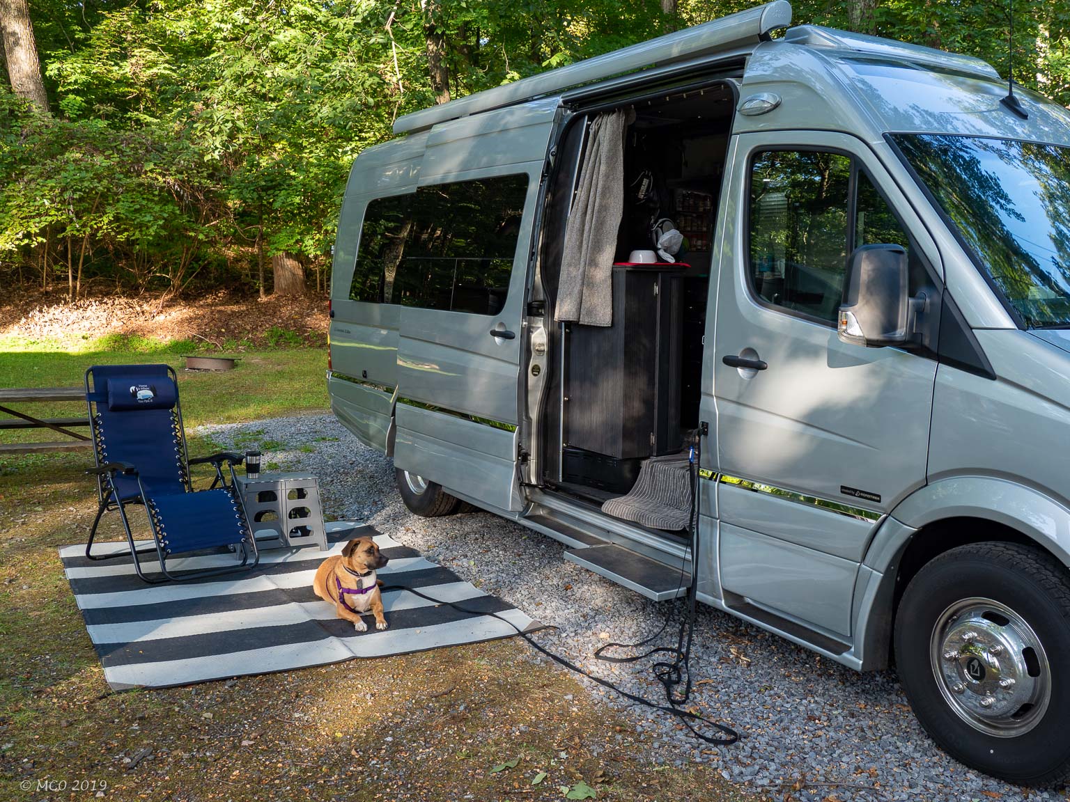
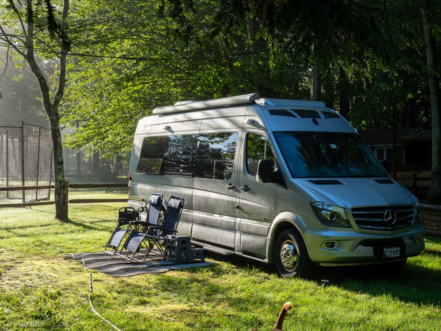
It’s been a year since we returned from our 11 month trip around North America. Since then we have completed a number of house projects, fostered seven dogs, and adopted one, ‘Bindi’. We’ve upgraded the van communication electronics, installed a webcam, resolved an issue with the engine-driven alternator alignment and built in an extra storage shelf. We’re planning to leave home in a few weeks to start a six month trip to Quebec City, Nova Scotia, Prince Edward Island and Newfoundland returning in the Fall via Maine.
Click for full size image
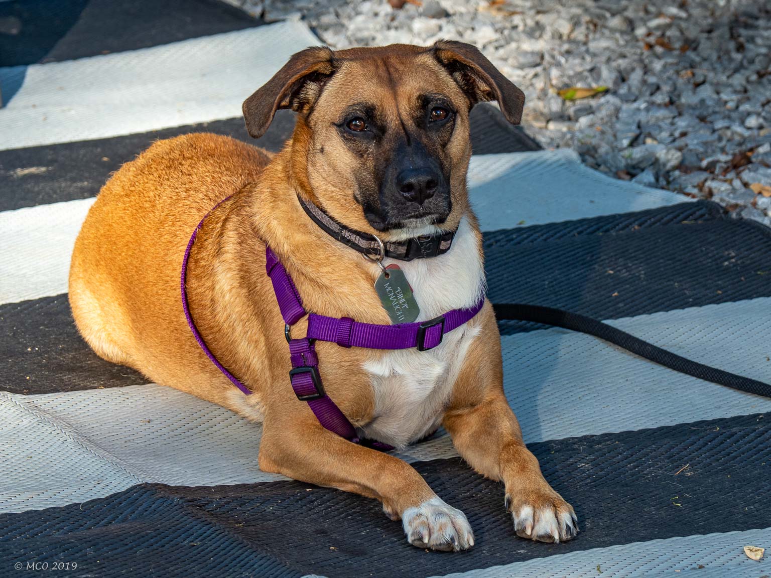
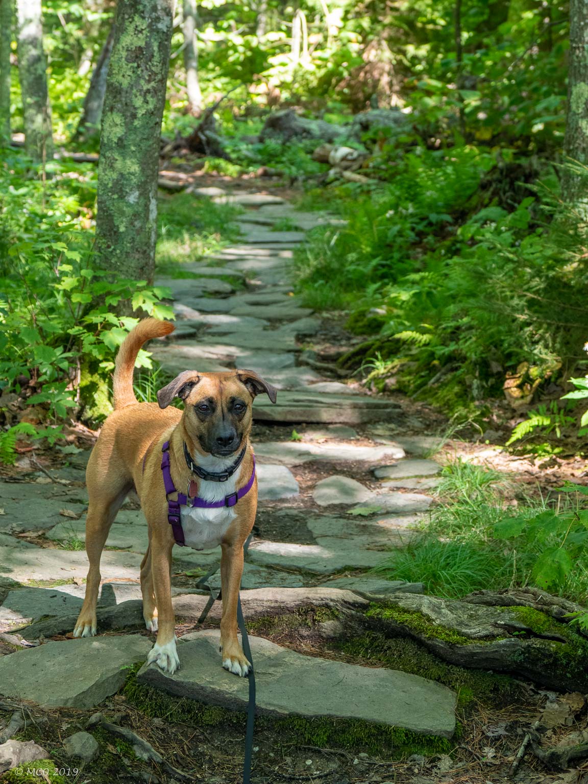
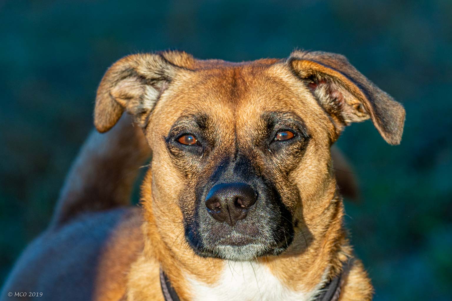
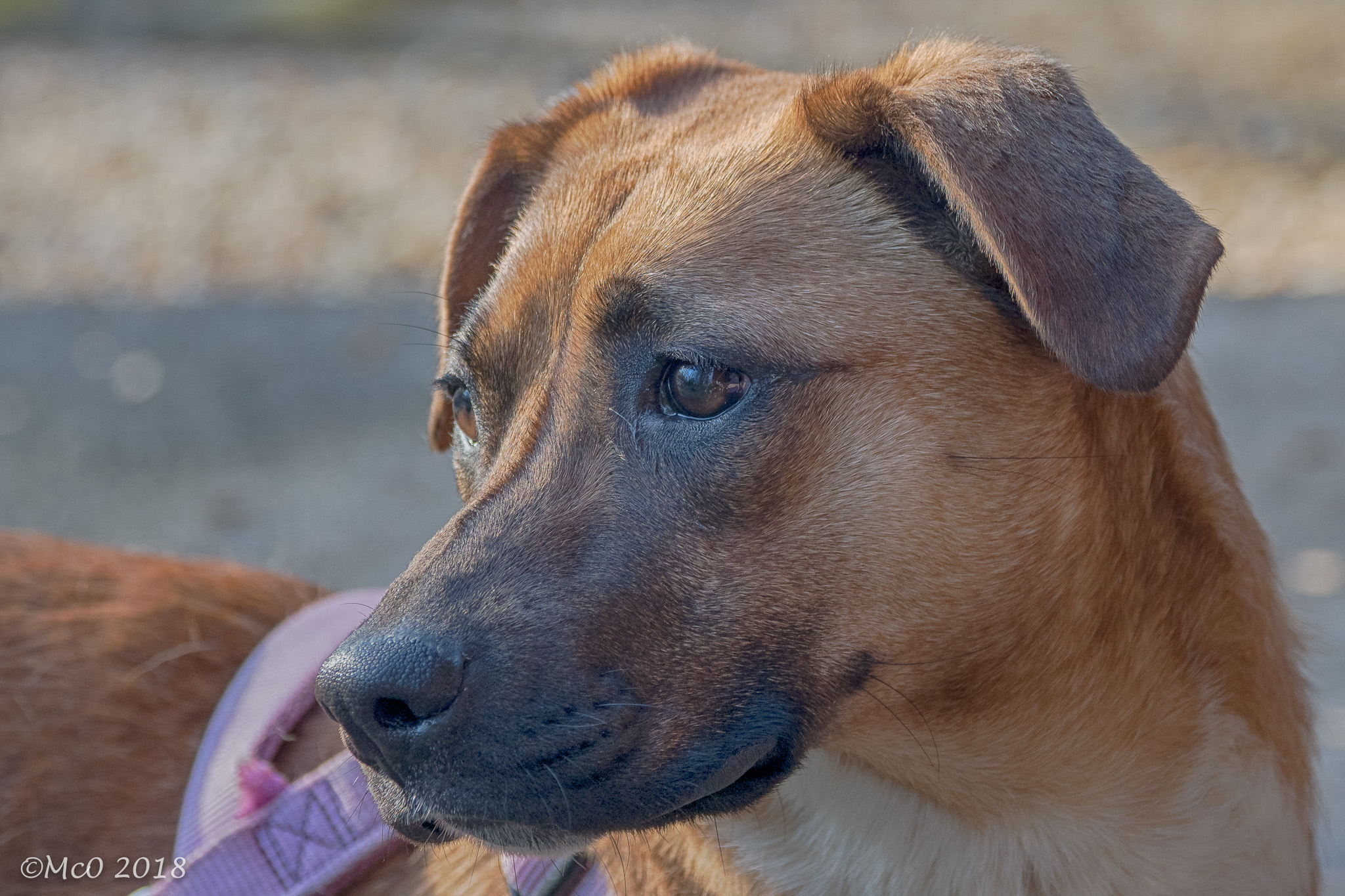
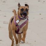
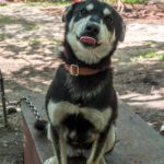
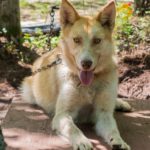
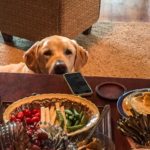
Bindi is a 16 month old rescue, turned in as a stray in West Virginia. We found her at a shelter near Harrisburg, PA and she has been with us for eight weeks now, proving to be a wonderful addition to the family. She’s calm (relatively), friendly to other pets and people, doesn’t bark (much) and fits perfectly in our van. We decided to take a short trip South to acquaint Bindi with life on the road and make sure everything was in good shape for our next adventure. She passed with flying colors!
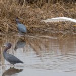
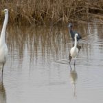
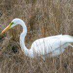
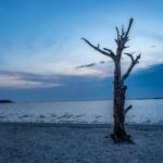
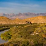
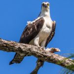
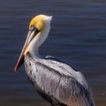
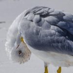
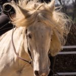
 Assateague Island National Seashore is a barrier Island located on the Atlantic Coast, by the Maryland / Virginia border. It’s famous for its band of wild horses descended from domestic animals brought over in the 1600s by early settlers and has a wide variety of birdlife.
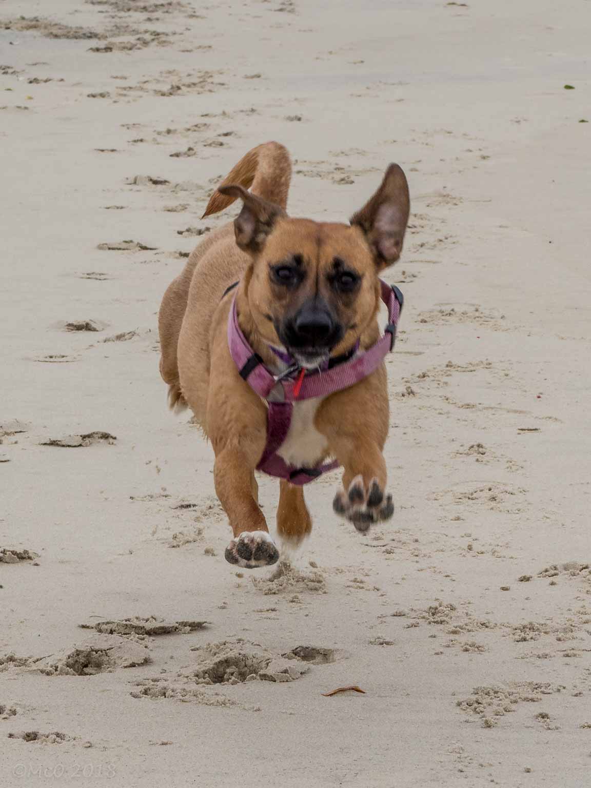
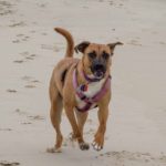
 Bindi seemed to enjoy her trip, particularly running free on the beach and chasing pieces of seaweed blowing in the strong winds we experienced. We had some minor territorial issues at nighttime when she decided that Colin’s bed was more comfortable than her spot in-between us.
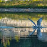
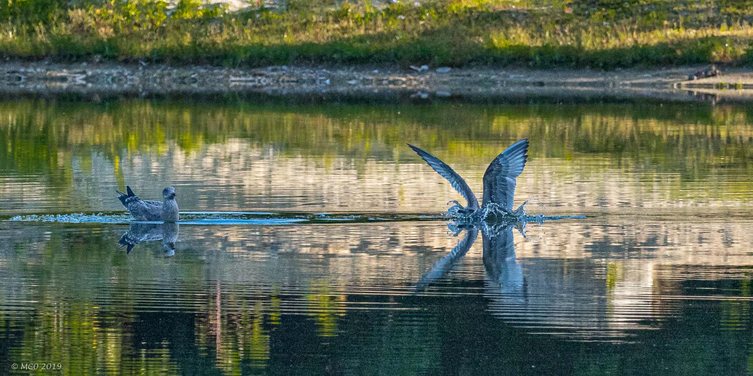
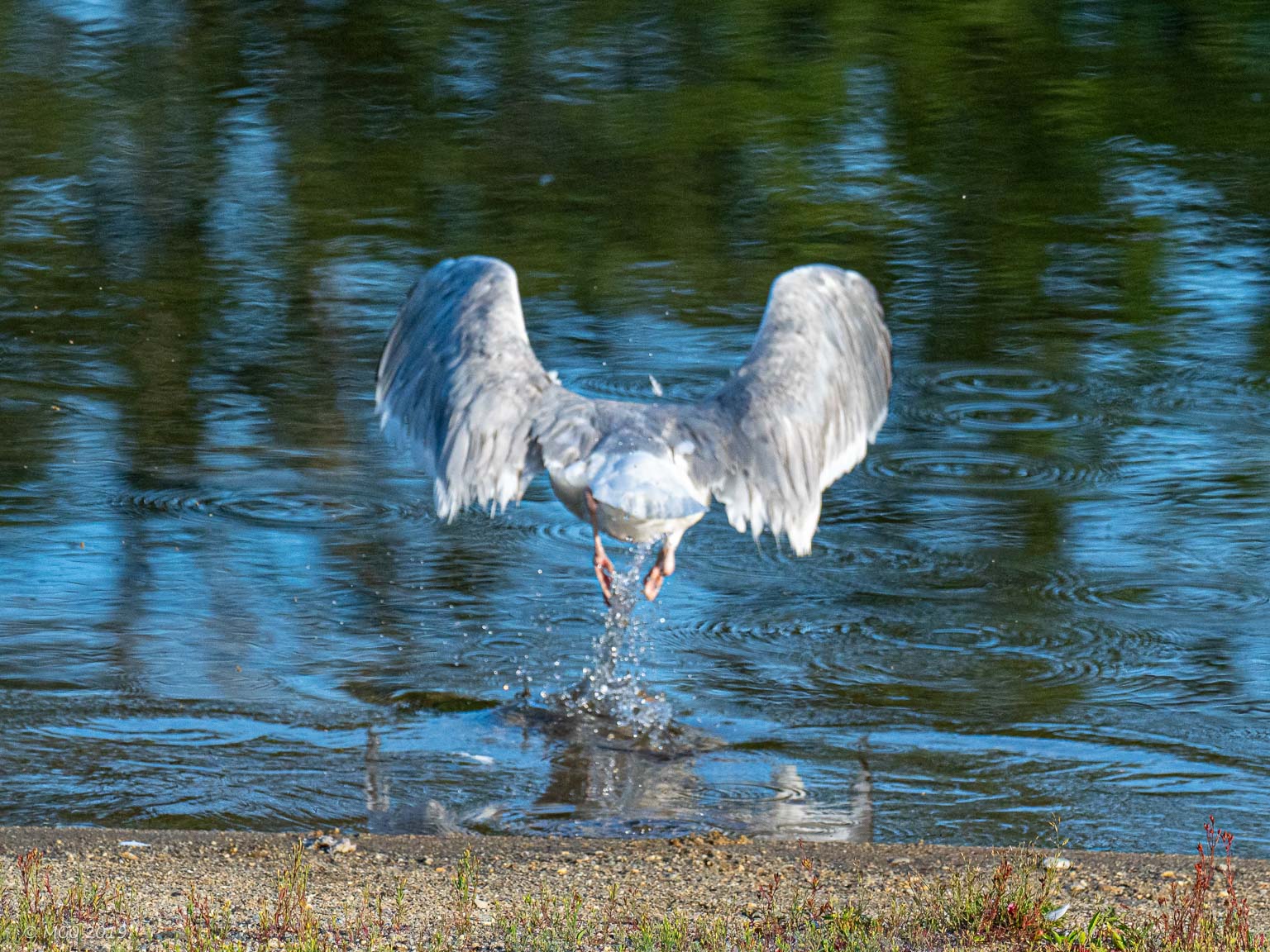
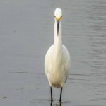
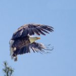
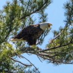
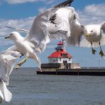
Colin had an opportunity to try out his new long focus lens, capturing some of the birdlife on the island in addition to action shots of Bindi on the beach and some of the island’s wild horses.
Click on any thumbnail below to see larger image gallery.
-
- Mother…
-
- …and Daughter
-
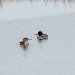
- Red-Breasted Mergansers
-
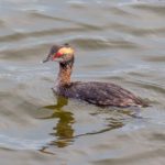
- Horned Grebe – underwater 90% of time
-
- Snowy Egret…
-
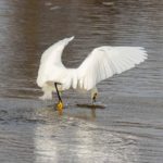
- …Catches Fish…
-
- …Then Walks on Water
-
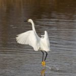
- … and Takes Off
-
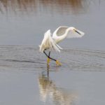
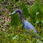
- Little Blue Heron
-
- Joined by Great Egret
-
- Great and Snowy Egret size difference
-
- Great Egret Green Eye Patch (only in mating season)
-
- Beach Runner
-
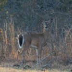
- Whitetail Deer
Assateague Island
Click on map to show location

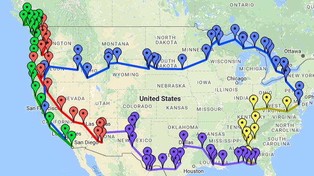
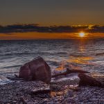
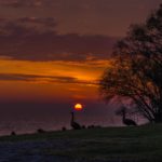
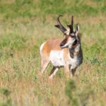
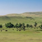
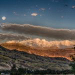
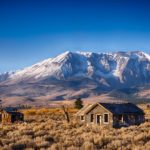
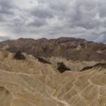
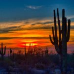
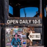
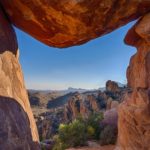
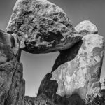
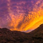
After traveling 22,000 miles, no matter how much we loved each day of our trip, it was fantastic to get home! We walked around each room in amazement, so much living space. Thank you all our blog readers for your lovely comments, it was great to read your reactions to the places we stayed, and your beautiful comments about Colin’s photos. We’ve included a selection from the 3,000 photos posted, of what we think are the best (see below).
Click on any thumbnail below to see larger image gallery.
-
- Lake Ontario, NY

-
- Lake Ontario, NY

-
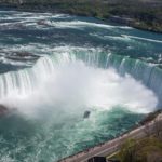
- Niagara Falls, ONT

-
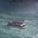
- Niagara Falls, ONT

-
- Manitoulin Island, ONT

-
- Manitoulin Island, ONT

-
- Beaver Lake, MI

-
- Lake Superior, MI

-
- Iditarod Training Haven, MI

-
- Iditarod Training Haven, MI

-
- Iditarod Training Haven, MI

-
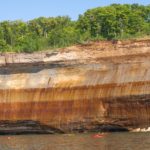
- Pictured Rocks, MI

-
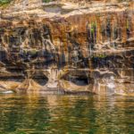
- Pictured Rocks, MI

-
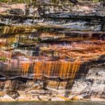
- Pictured Rocks, MI

-
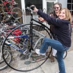
- Fellow Traveler

-
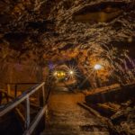
- Copper Mine, MI

-
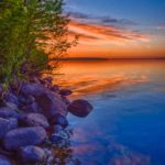
- Lake Superior, MN

-
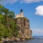
- Split Rock Lighthouse, MN

-
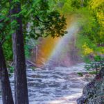
- Tettagouche SP, MN

-
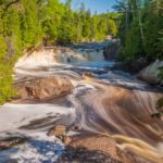
- Tettagouche SP, MN

-
- Duluth, MN

-
- St. Paul, MN

-
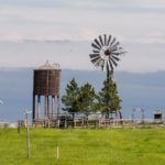
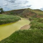
- Farm Country, SD

-
- Badlands, SD

-
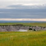
- Badlands State Park, SD

-
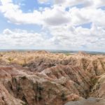
- Badlands State Park, SD

-
- Sage Creek Wilderness, SD

-
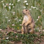
- Prairie Dogtown, SD

-
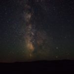
- Milky Way from Sage Wilderness, SD

-
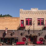
- Deadwood, Black Hills, SD

-
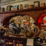
- Deadwood, SD

-
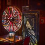
- Deadwood, SD

-
- Deadwood, SD

-
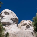
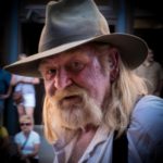
- Mt. Rushmore, SD

-
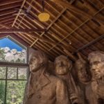
- Mt. Rushmore, SD

-
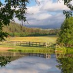
- Custer State Park, SD

-
- Custer State Park, SD

-
- Custer State Park, SD

-
- Near Cody, WY

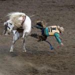
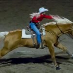
-
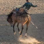
- Rodeo, Cody, WY

-
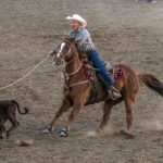
- Rodeo, Cody, WY

-
- Rodeo, Cody, WY

-
- Rodeo, Cody, WY

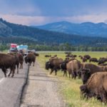
-
- Yellowstone NP, WY

-
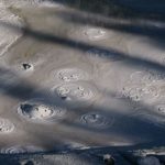
- Yellowstone NP, WY

-
- Yellowstone NP, WY

-
- Yellowstone NP, WY

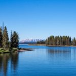
-
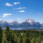
- Grand Tetons NP, WY

-
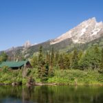
- Grand Tetons NP, WY

-
- Grand Tetons NP, WY

-
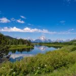
- Grand Tetons NP, WY

-
- Grand Tetons NP, WY

-
- Grand Tetons NP, WY

-
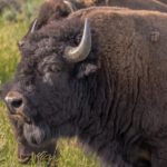
- Twin Falls, ID

-
- Twin Falls, ID

-
- Twin Falls, ID

-
- July 4th, McCall, ID

-
- Bend, OR

-
- Bend, OR

-
- Bend, OR

-
- Cascade Mts., OR

-
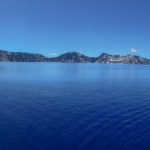
- Crater Lake, OR

-
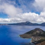
- Crater Lake, OR

-
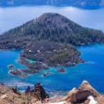
- Crater Lake, OR

-
- Santa Cruz Mountains, CA

-
- Santa Cruz Mountains, CA

-
- Santa Cruz Mountains, CA

-
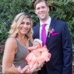
- Cheryl’s nephew Josh, wife Jess, baby Scarlett

-
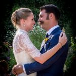
- Cheryl’s nephew Alex and wife Jessica

-
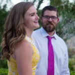
- Cheryl’s nephew Ben and lady friend Eilse

-
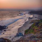
- California Coast

-
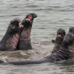
- Elephant Seals, San Simeon, CA

-
- Elephant Seals, San Simeon, CA

-
- Santa Rosa, CA

-
- Sebastopol, CA

-
- Sebastopol, CA

-
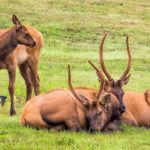
- Elk, OR

-
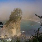
- Misty Oregon Coast

-
- Humbug State Park, CA

-
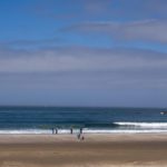
- Oregon Coast

-
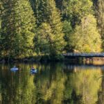
- Lake Sylvia, WA

-
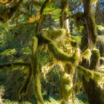
- Hoh Rainforest, Olympic NP, WA

-
- Neah Bay, WA

-
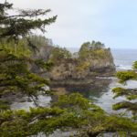
- Cape Flattery, WA

-
- Crescent Lake, Olympic NP, WA

-
- Sol Duc Falls, Olympic NP, WA

-
- Sol Duc Falls, Olympic NP, WA

-
- Crescent Lake, Olympic NP, WA

-
- Crescent Lake, Olympic NP, WA

-
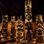
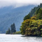
- Royal BC Museum, Victoria, BC

-
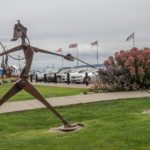
- Sidney, BC

-
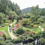
- Butchart Gardens, nr Victoria BC

-
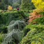
- Butchart Gardens, BC

-
- Butchart Gardens, BC

-
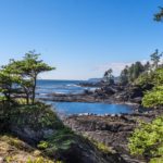
- Port Renfrew, Vancouver Island

-
- Vancouver Island, BC

-
- Vancouver Island, BC

-
- Vancouver Island, BC

-
- Visiting German Craftsman, Tofino, BC

-
- Tofino, Vancouver Island, BC

-
- Tofino, Vancouver Island, BC

-
- Vancouver Island, BC

-
- Campbell River, Vancouver Island

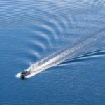
-
- Salish Sea off Vancouver Island

-
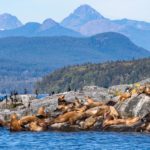
- Salish Sea off Vancouver Island

-
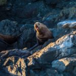
- Salish Sea off Vancouver Island

-

- Don’t you wish…

-
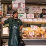
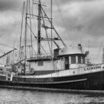
- Seattle Fish Market, WA

-
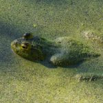
- Frog at Nisqually Reserve, WA

-
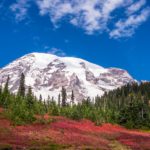
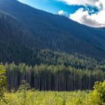
- Mount Rainier, WA

-
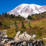
- Mount Rainier, WA

-
- Rogue River, OR

-
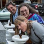
- Cheryl’s brother Michael and wife Maggie in Ashland, OR

-
- Sammy eyeing the snacks at Eagle Point, OR

-
- Park nr Prospect Falls, OR

-
- Park nr Prospect Falls, OR

-
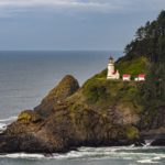
- Heceta Head Lighthouse, OR

-
- Mount Lassen NP, CA

-
- Mount Lassen NP, CA

-
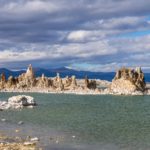
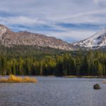
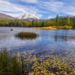
- Mono Lake, CA

-
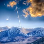
- Sierras from East, CA

-
- Sierras from East, CA

-
- Death Valley, CA

-
- White Tank Regional Park, Arizona

-
- Jerome, AZ

-
- Jerome, AZ

-
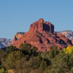
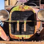
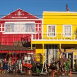
- Sedona, AZ

-
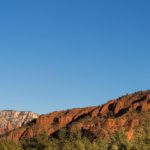
- Sedona, AZ

-
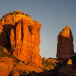
- Sedona, AZ

-
- Cottonwood, AZ

-
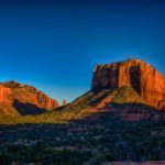
- Sedona, AZ

-
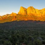
- Sedona, AZ

-
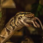
- Snake Museum, Santa Fe, NM

-
- Santa Fe, NM

-
- Santa Fe, NM

-
- Santa Fe, NM

-
- Santa Fe, NM

-
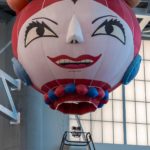
- Balloon Museum, Albuquerque, NM

-
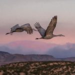
- Bosque Del Apache Wildlife Reserve, NM

-
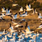
- Bosque Del Apache Wildlife Reserve, NM

-
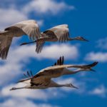
- Bosque Del Apache Wildlife Reserve, NM

-
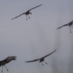
- Bosque Del Apache Wildlife Reserve, NM

-
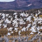
- Bosque Del Apache Wildlife Reserve, NM

-
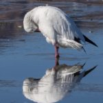
- Bosque Del Apache Wildlife Reserve, NM

-
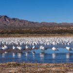
- Bosque Del Apache Wildlife Reserve, NM

-
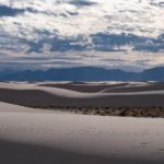
- White Sands National Monument, NM

-
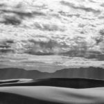
- White Sands National Monument, NM

-
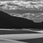
- White Sands National Monument, NM

-
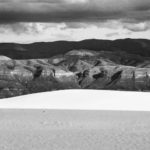
- White Sands National Monument, NM

-
- White Sands National Monument, NM

-
- Terlingua, TX

-
- Terlingua, TX

-
- Big Bend SP, Texas

-
- Big Bend SP, Texas

-
- Big Bend SP, Texas

-
- Terlingua, TX

-
- Big Bend NP, TX

-
- Big Bend NP, TX

-
- Big Bend NP, TX

-
- Big Bend NP, TX

-
- Big Bend NP, TX

-
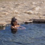
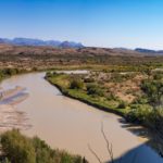
- Hot Springs by the Rio Grande, Big Bend NP, TX

-
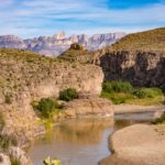
- Big Bend NP, TX

-
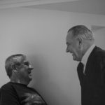
- LBJ Library, Austin, TX

-
- LBJ Ranch, TX

-
- LBJ Ranch, TX

-
- Merlin the Giant Malamute, Grapevine, TX

-
- Rip’s Rookery, New Iberia, LA

-
- Breaux Bridge, LA

-
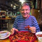
- ‘Crawfishtown’, LA

-
- Acadian Village, Lafayette, LA

-
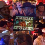
- Zydeco dancers, rural Louisiana

-
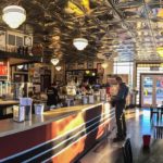
- Lafayette Ice Cream Parlor

-
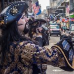
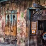
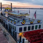
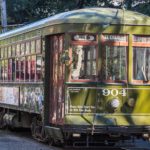
- Bourbon Street, New Orleans, LA

-
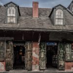
- New Orleans, LA

-
- New Orleans, LA

-
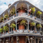
- New Orleans, LA

-
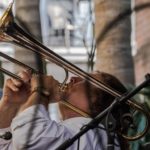
- Preservation Hall, New Orleans, LA

-
- New Orleans, LA

-
- New Orleans, LA

-
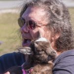
- Baby Pigmy Goat, Pensacola, FL

-
- Gulf Islands National Seashore, FL

-
- National Naval Air Museum, Pensacola, FL

-
- National Naval Air Museum, Pensacola, FL

-
- Pensacola Lighthouse, FL

-
- Gulf Islands National Seashore, FL

-
- Destin Harbor, FL

-
- Gulf Shore, FL

-
- Apalachicola National Forest, FL

-
- Apalachicola National Forest, FL

-
- Apalachicola National Forest, FL

-
- Wakulla Springs, FL

-
- Wakulla Springs, FL

-
- Wakulla Springs, FL

-
- Wakulla Springs, FL

-
- Wakulla Springs, FL

-
- Wakulla Springs, FL

-
- Cheryl’s first cousin Amy, Atlanta, GA

-
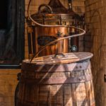
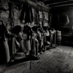
- Bourbon Still, KY

-
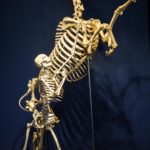
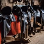
- Museum of the Horse, Lexington, KY

-
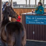
- Thoroughbred, Kentucky Horse Farm

-
- Andelusian, Kentucky Horse Farm
